Ireland Road Trip - September 2022
September 10, 2022 – September 22, 2022 • 12 days
12-day Ireland road trip covering 2,131 km in September 2022 — Donegal, the northwest coast, and rural backroads with daily route maps, GPX tracks, and dashcam video.
About This Trip
12 days covering 2,131 km in September 2022 — a Donegal-focused trip. Shorter and more concentrated than later Ireland trips, spending the majority of driving days in County Donegal’s peninsula roads and coastal routes before heading south through the midlands.
Practical Notes
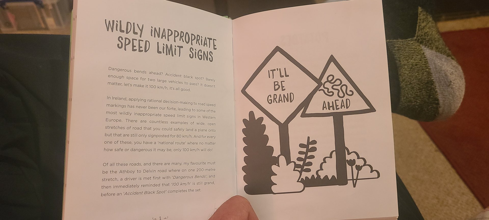
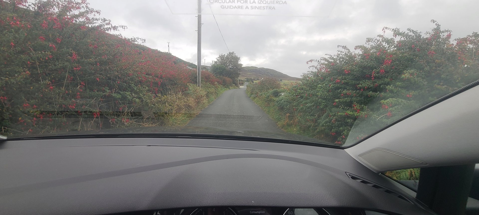
- Driving: Left-hand traffic. Donegal has some of the narrowest and most remote rural roads in Ireland — single-track with passing places and limited signage.
- Duration: 12 days, 2,131 km — averaging about 178 km per day.
- Season: September offers good daylight hours, green fields, and fewer tourists than peak summer.
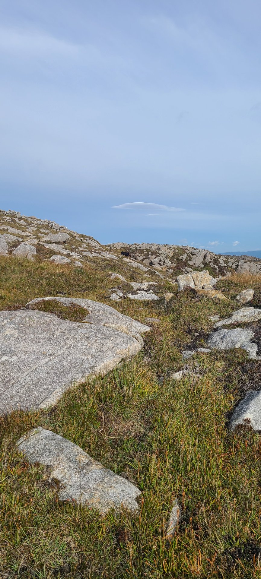
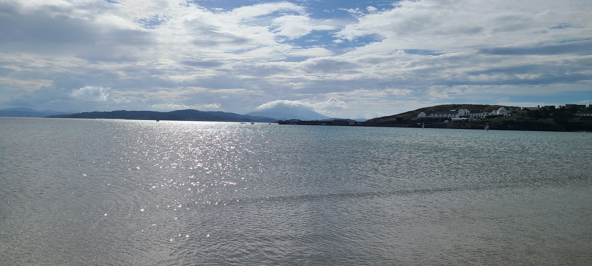
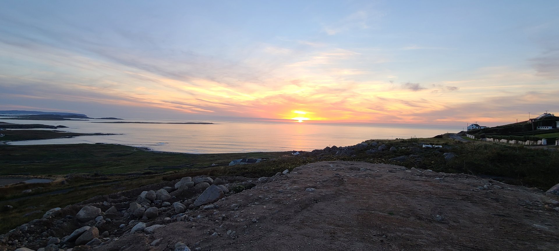
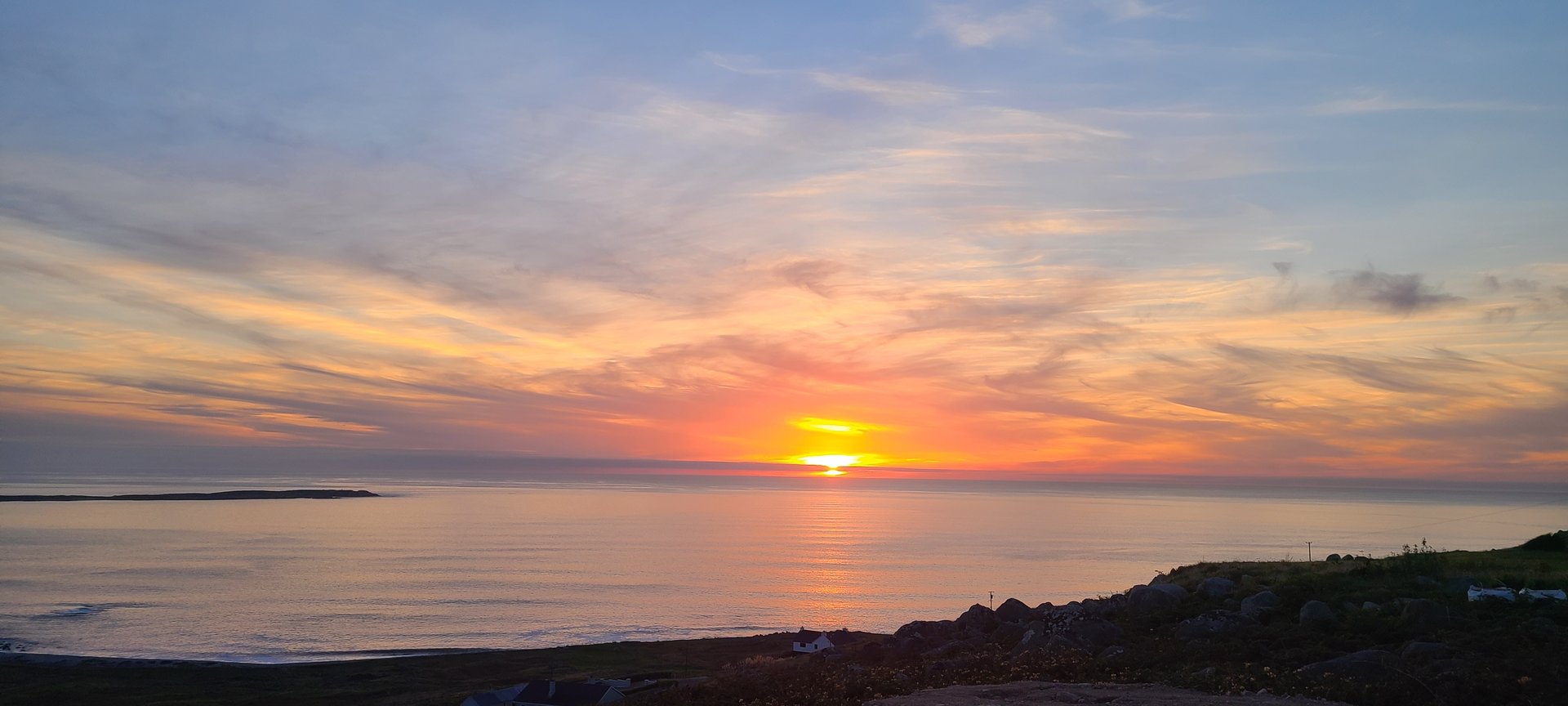
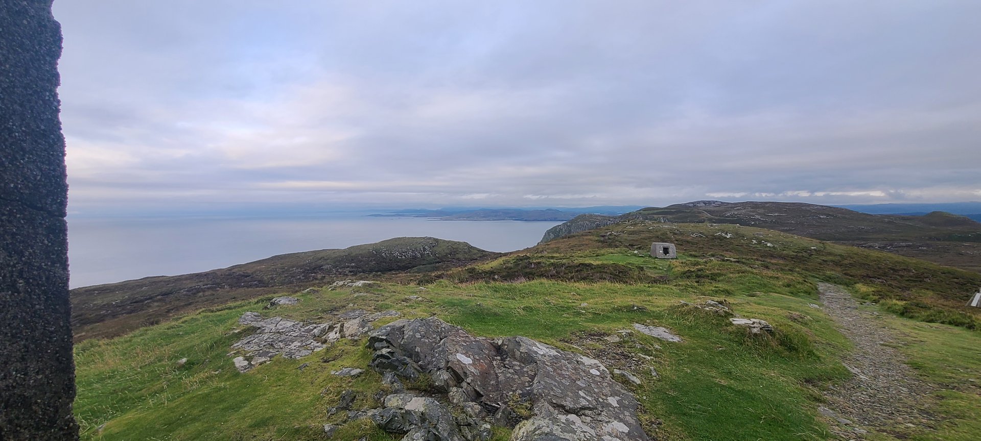
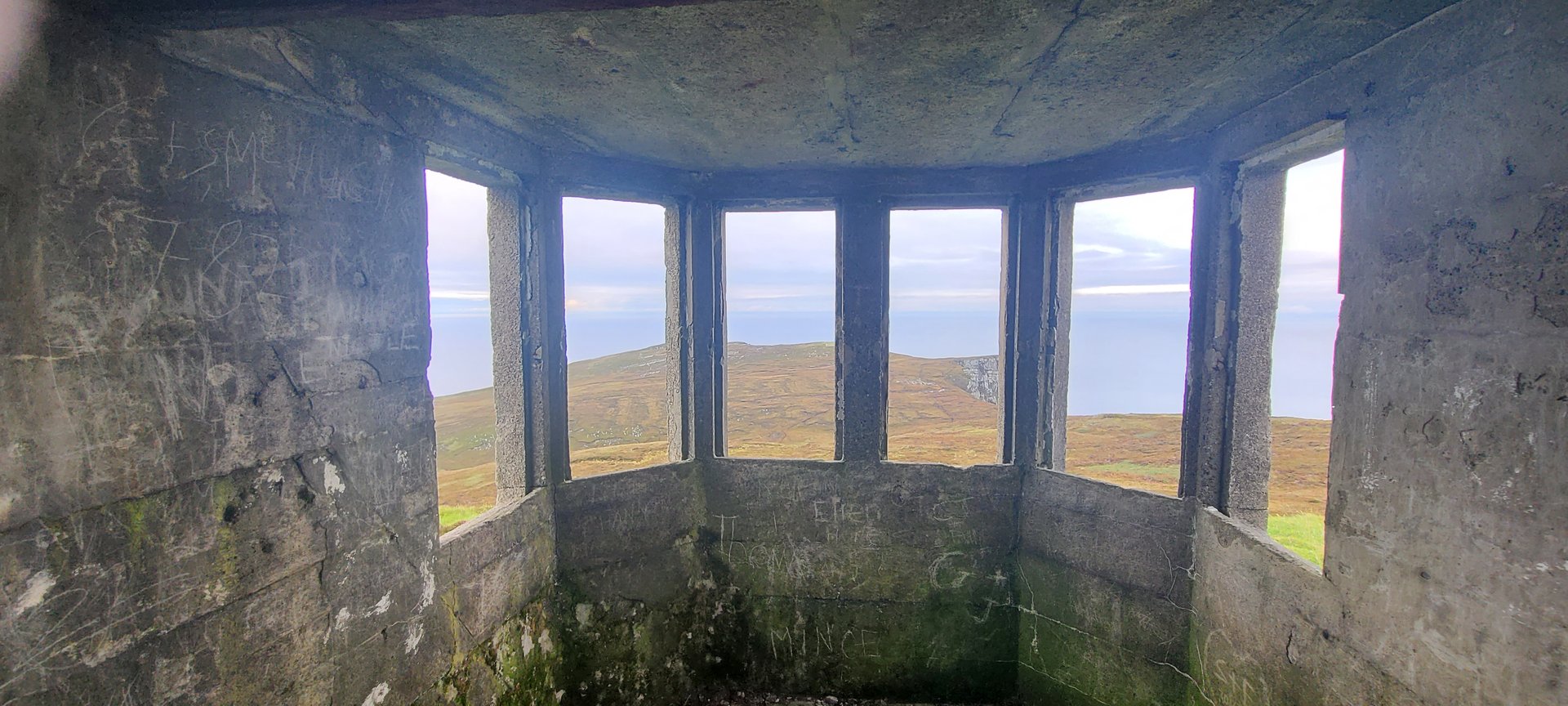
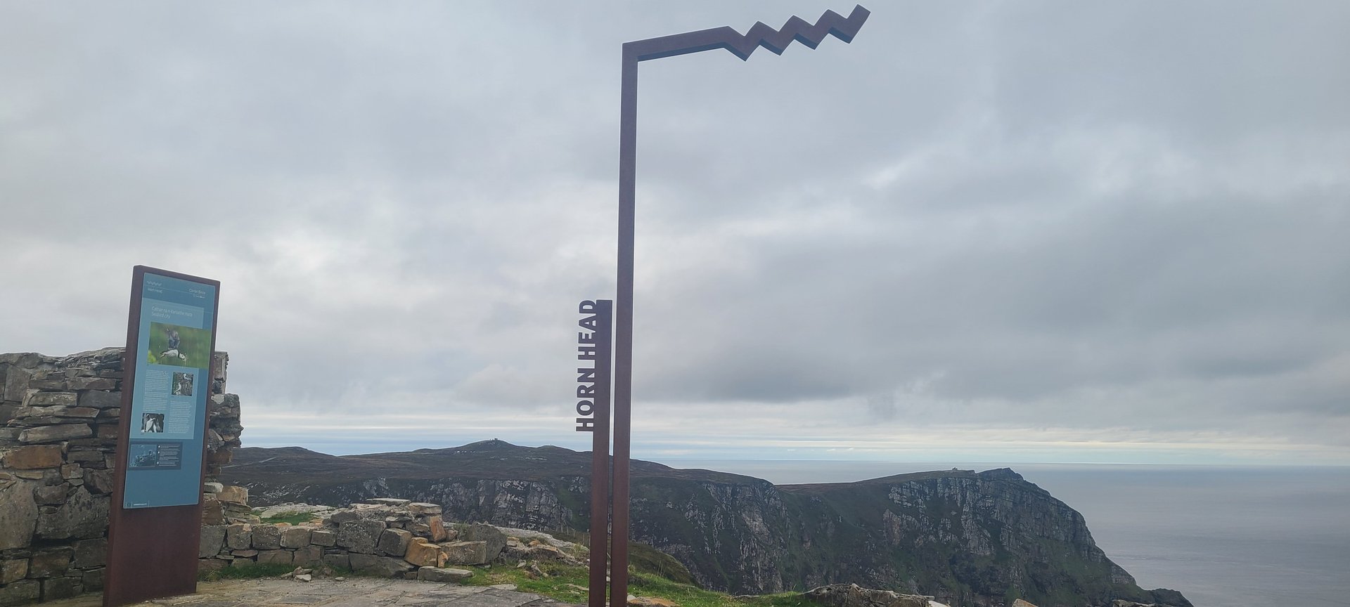
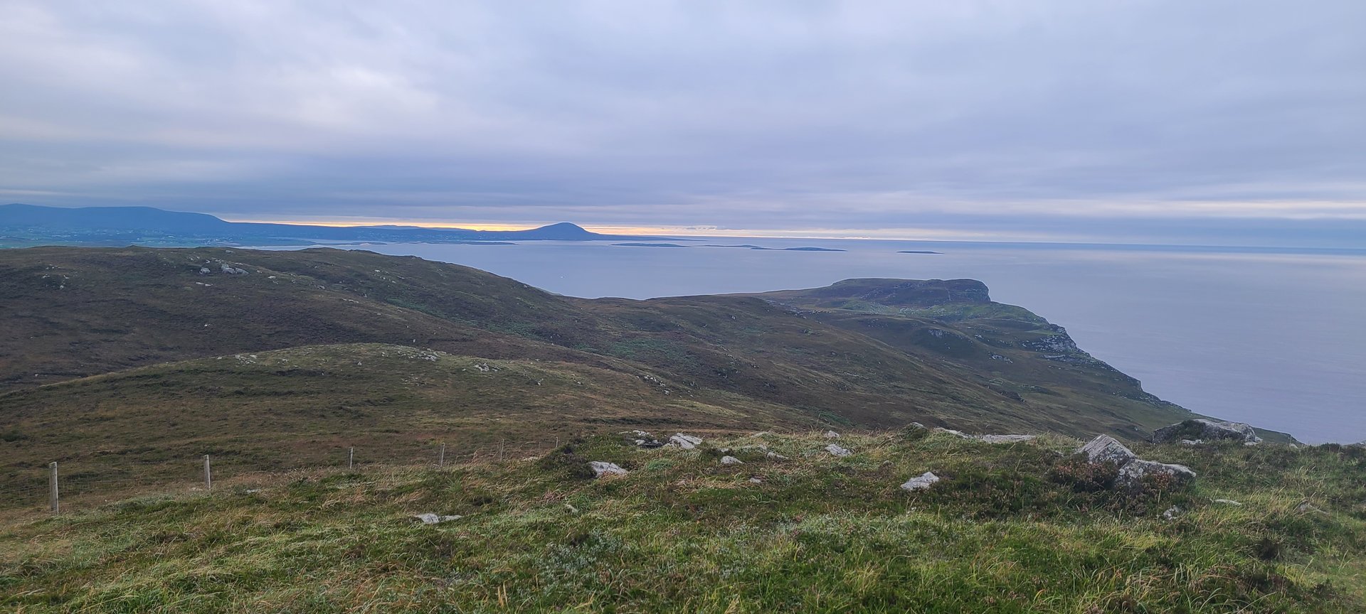
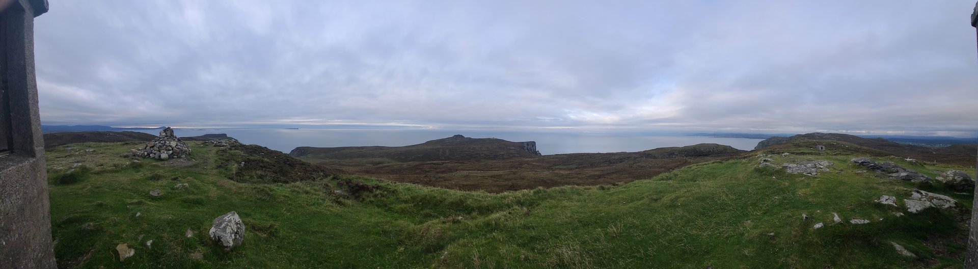
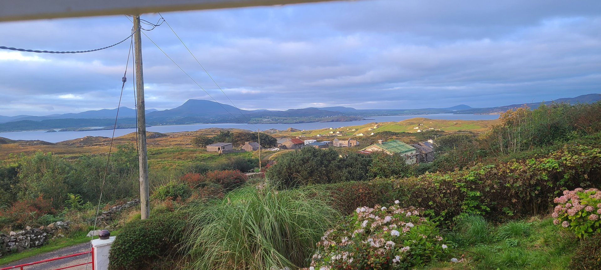
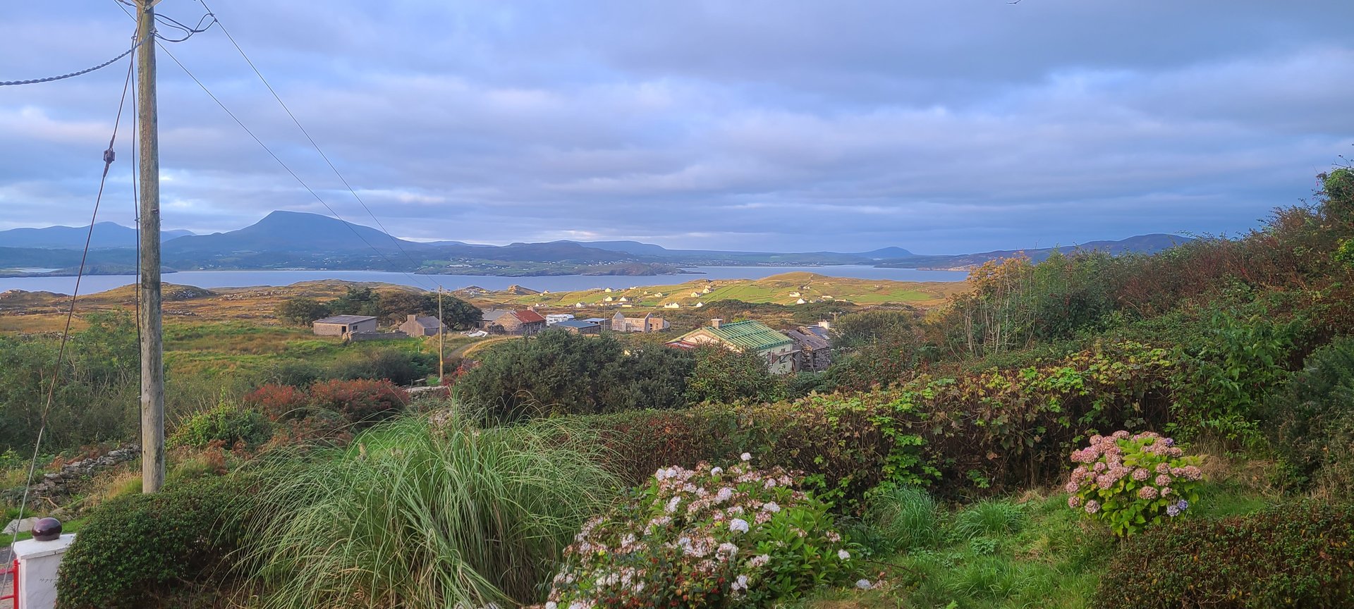
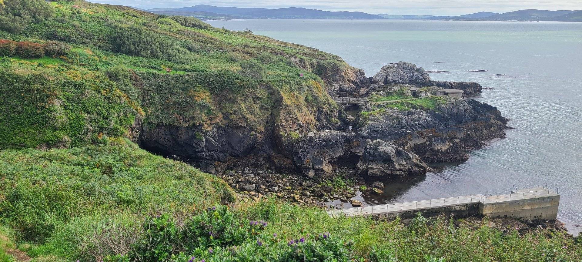
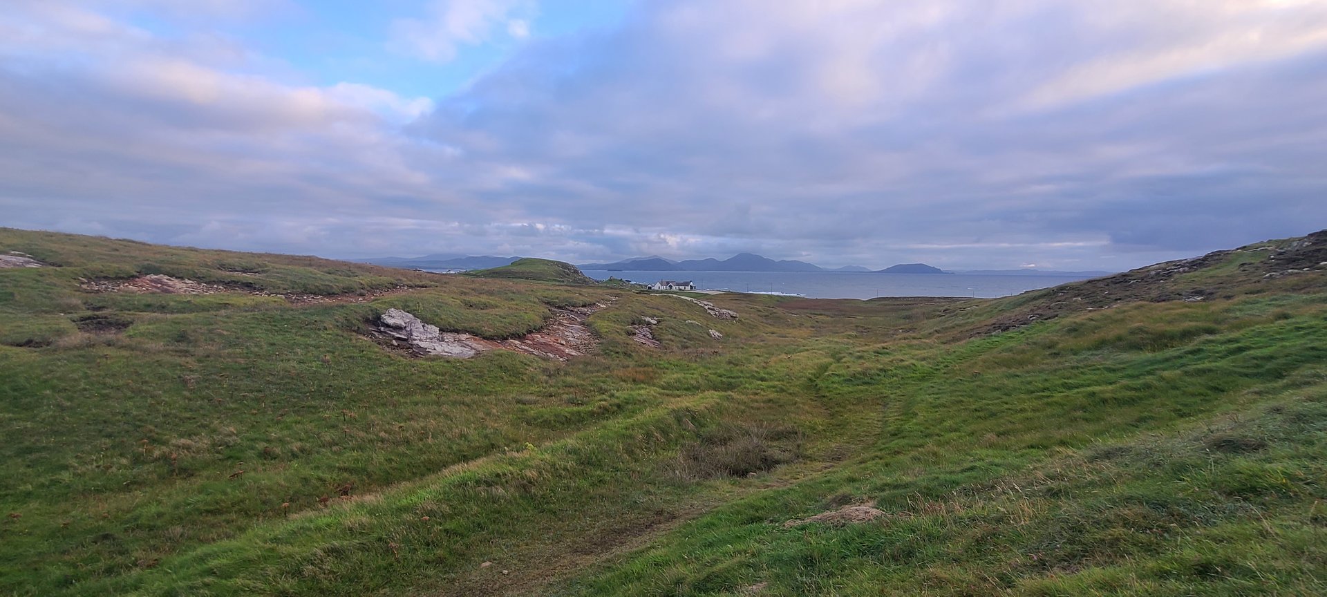
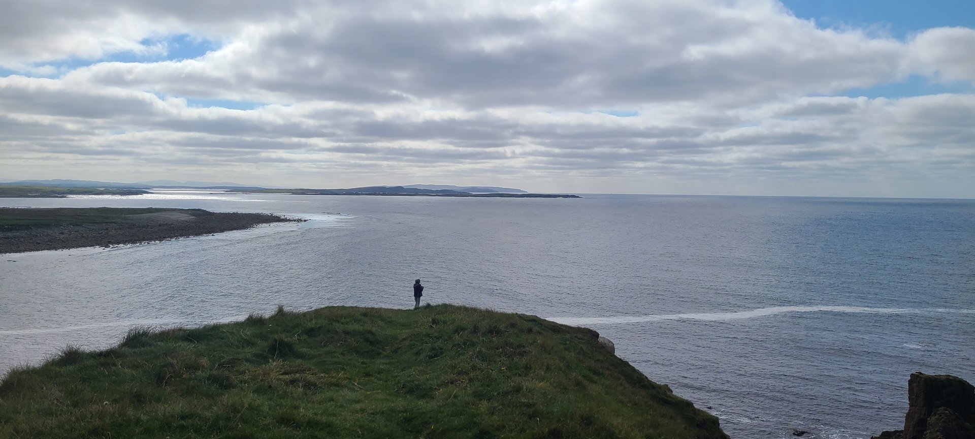
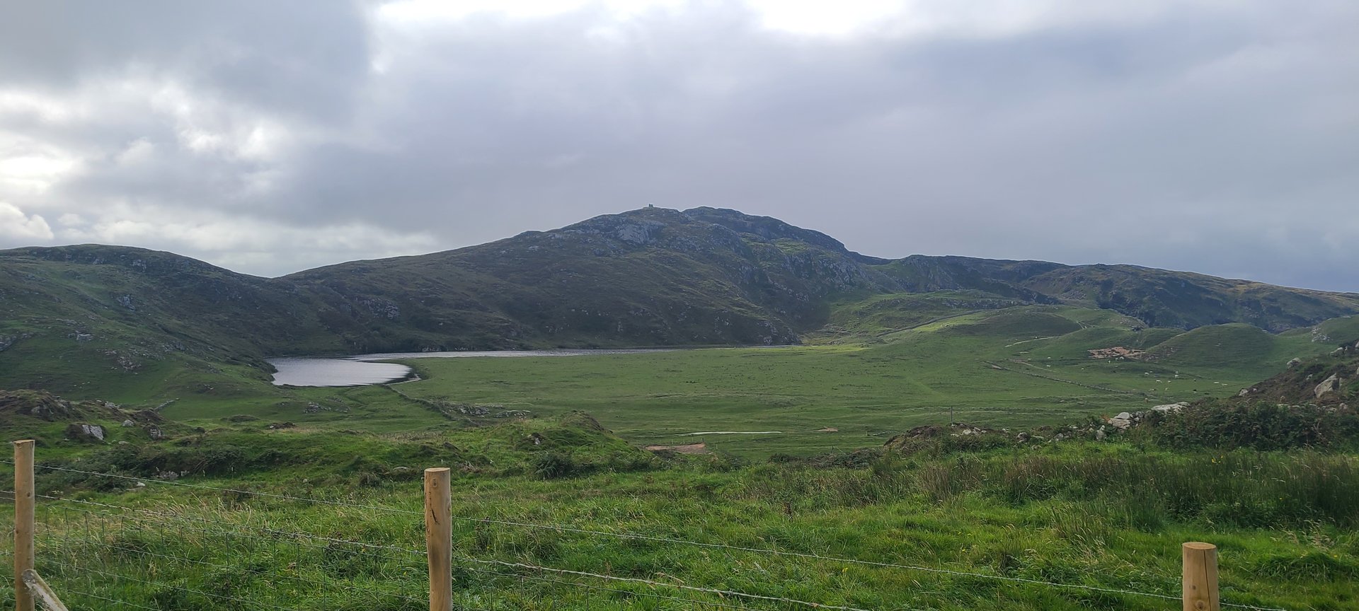
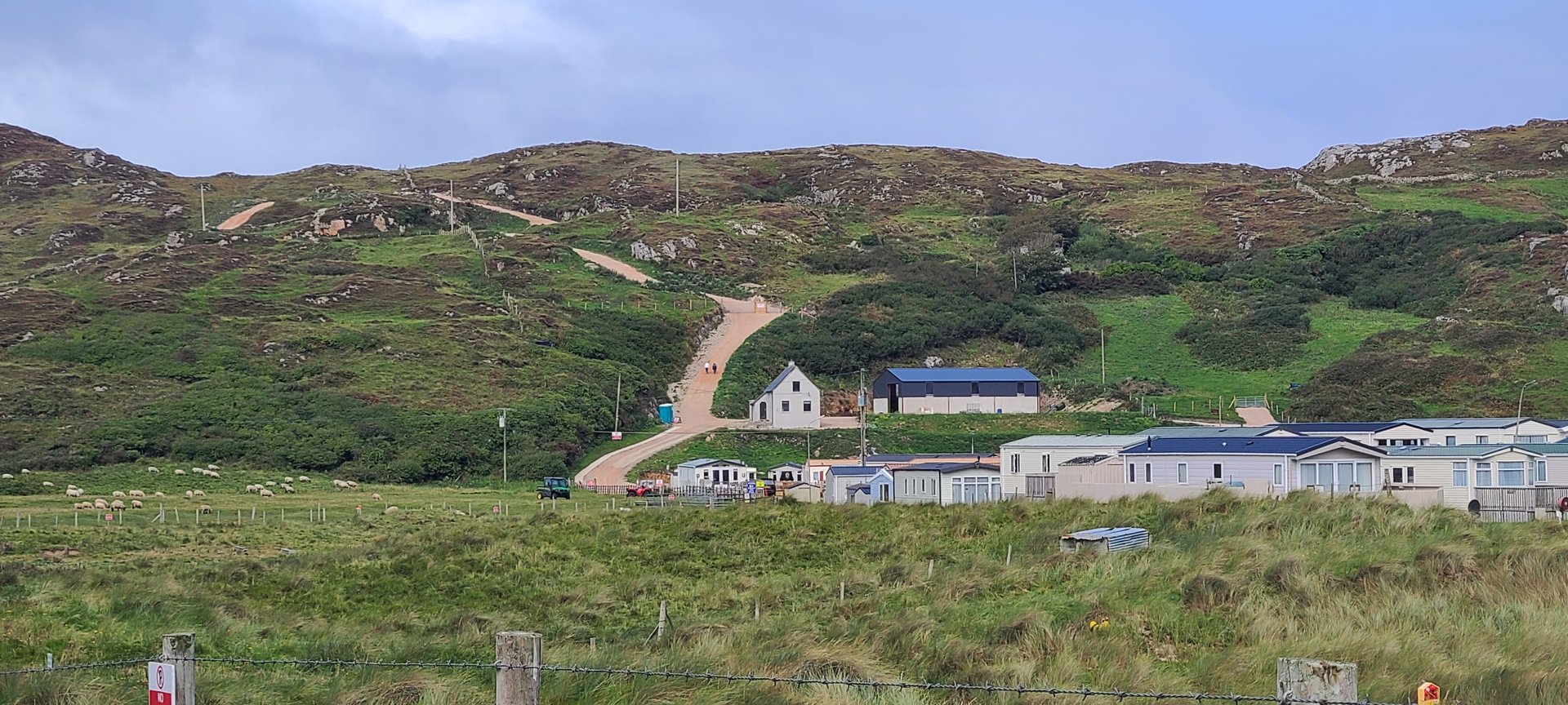
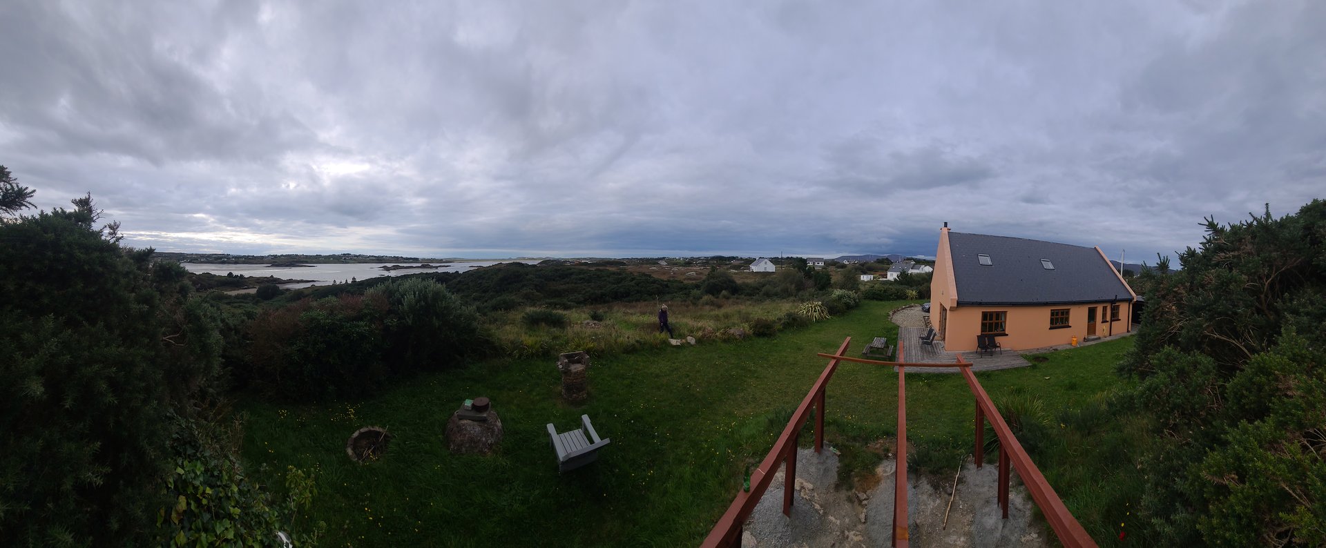
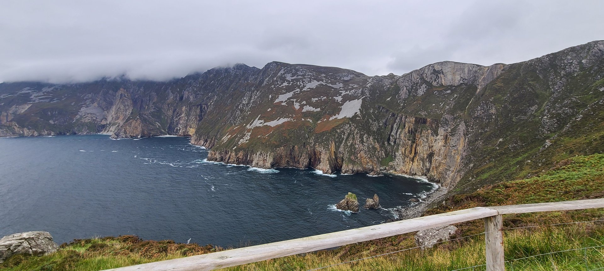
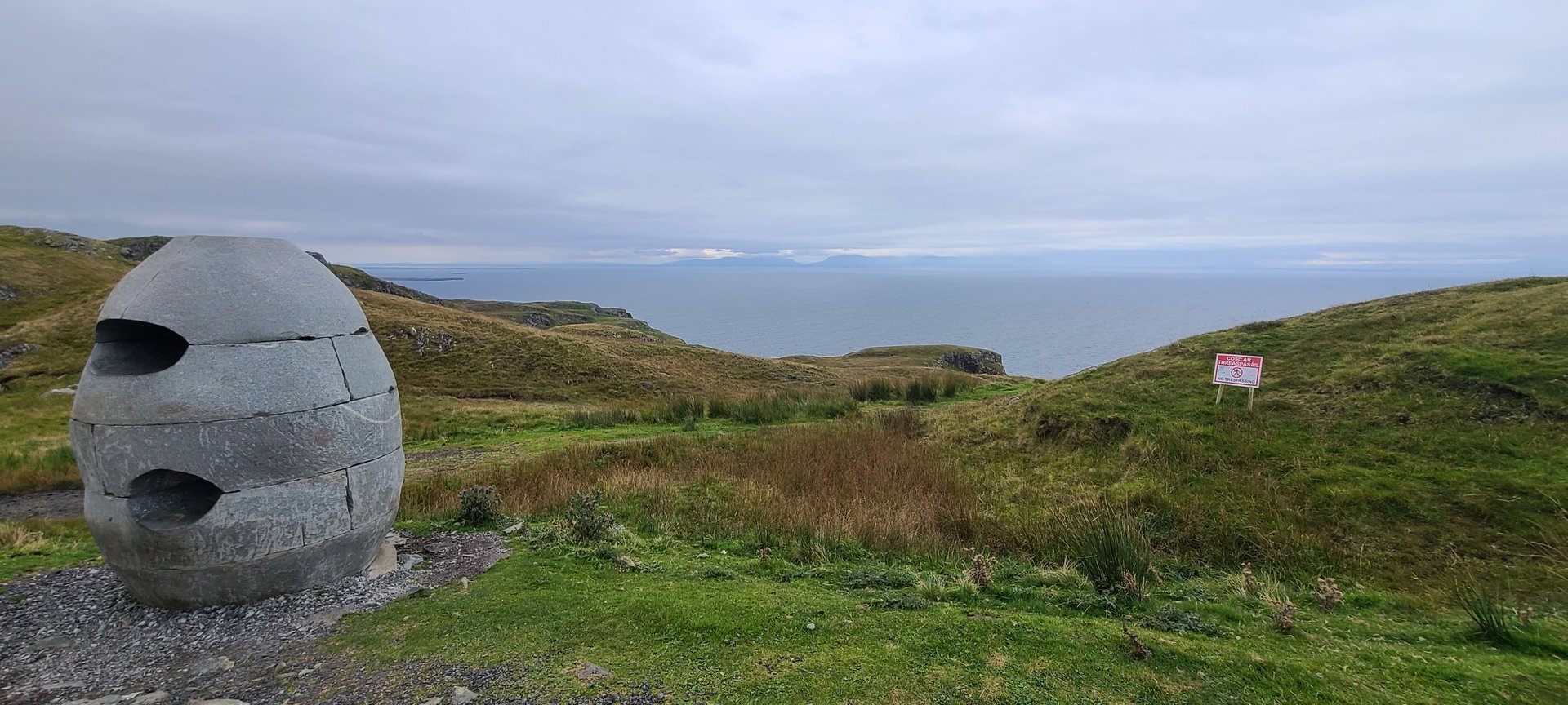
Fanad Peninsula: Carrickart to Malin Head (198 km)
Saturday, September 10, 2022
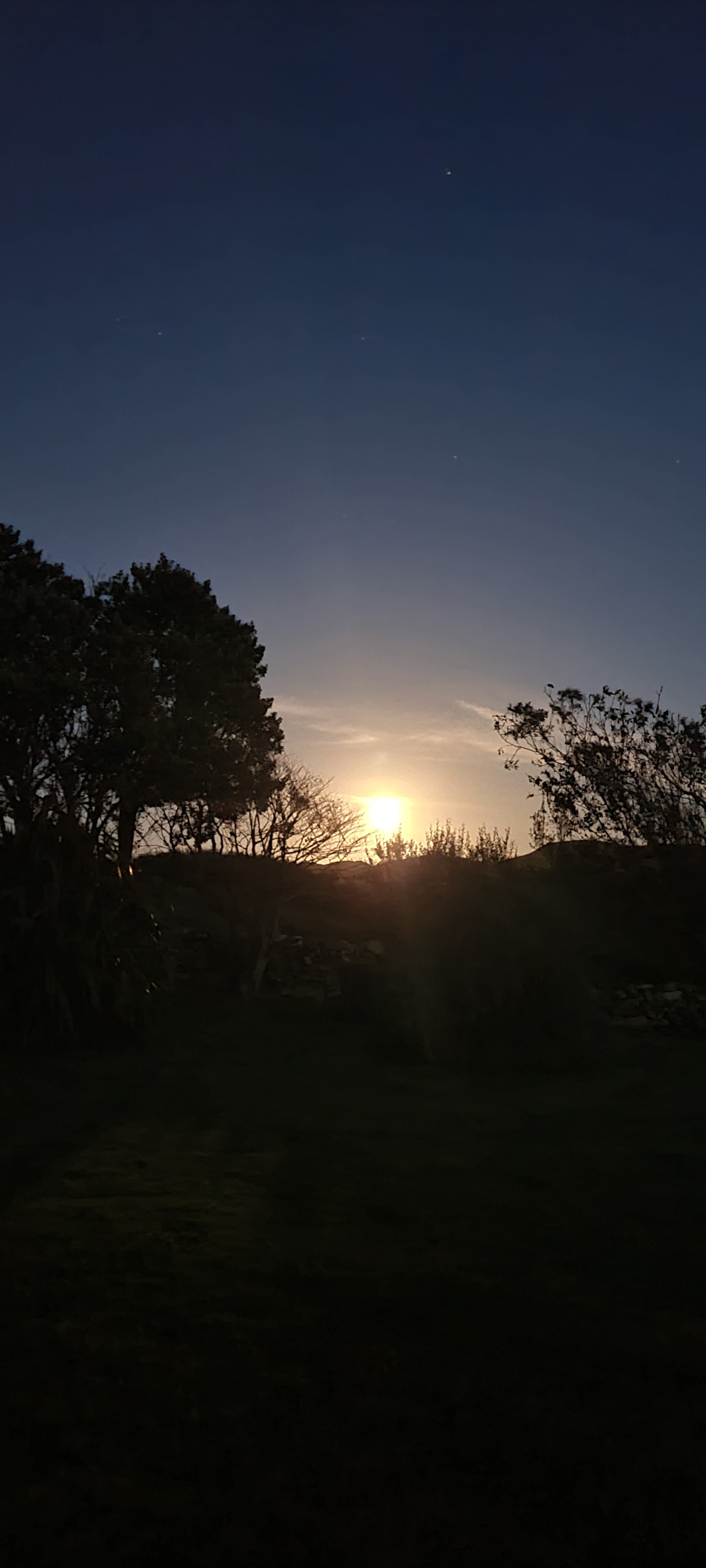
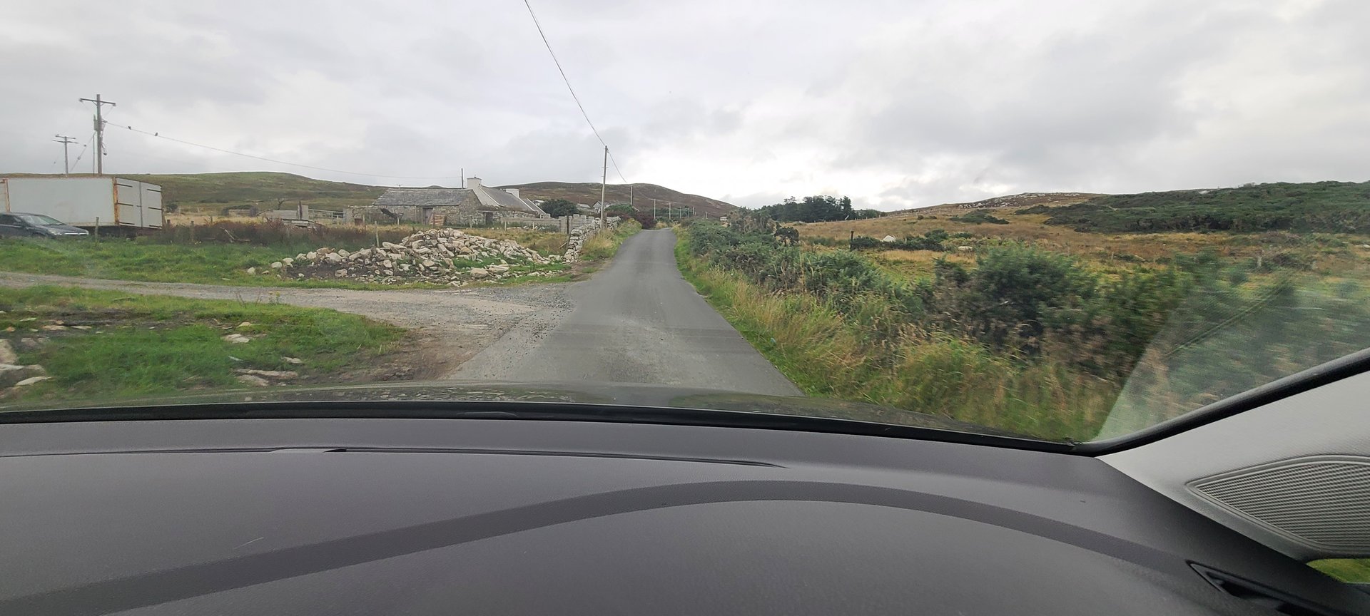
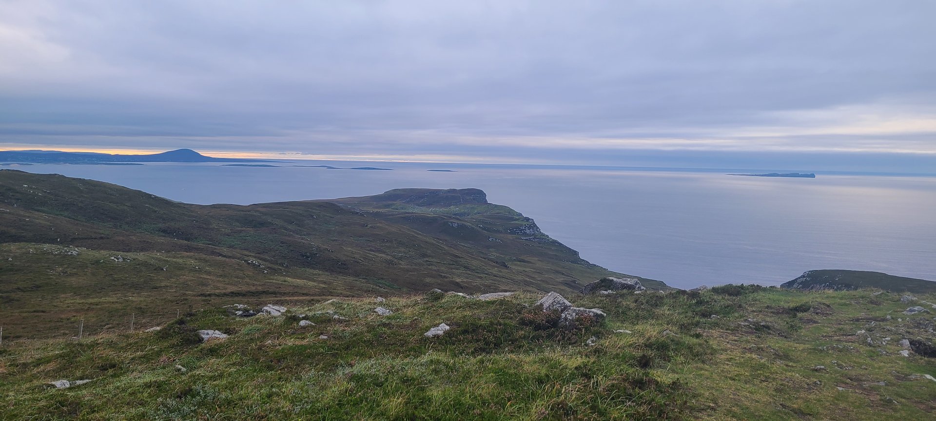
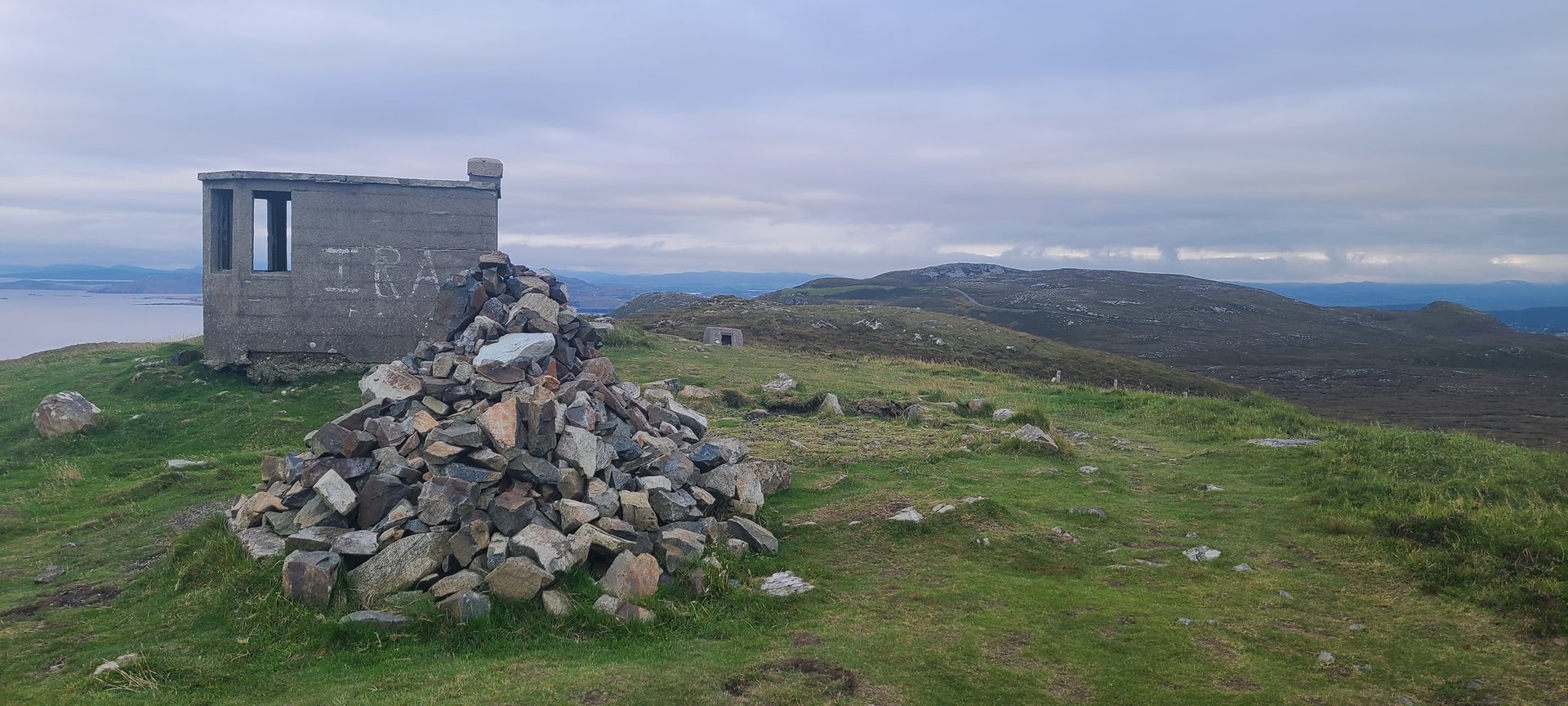
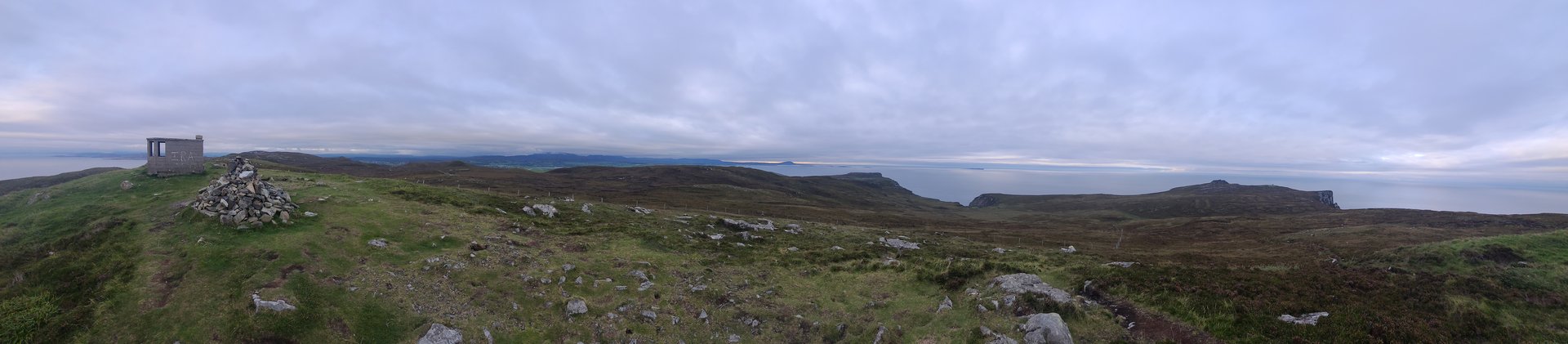
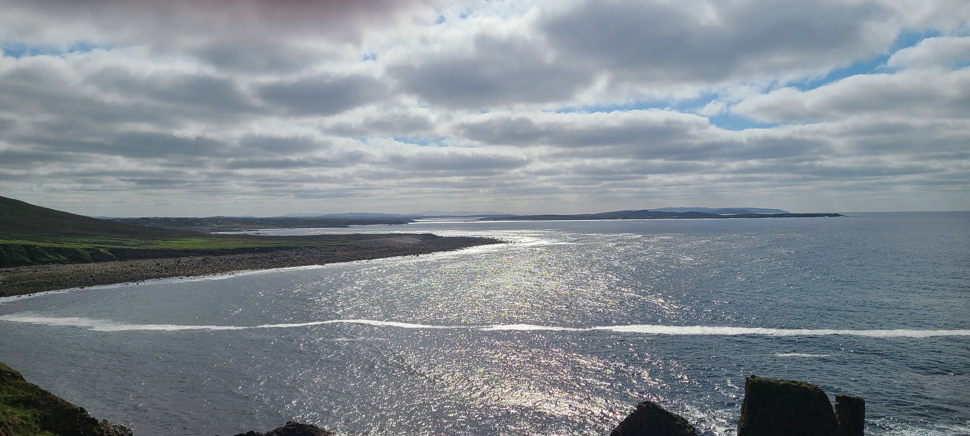
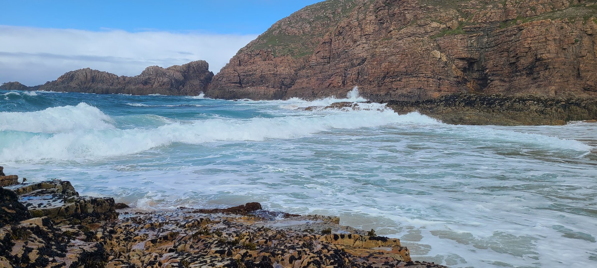
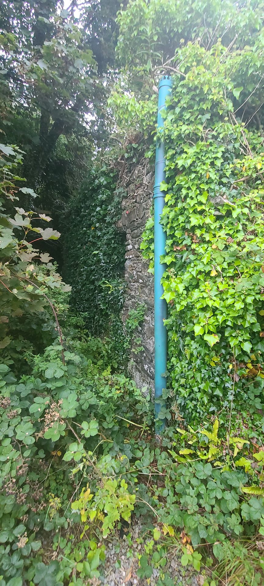
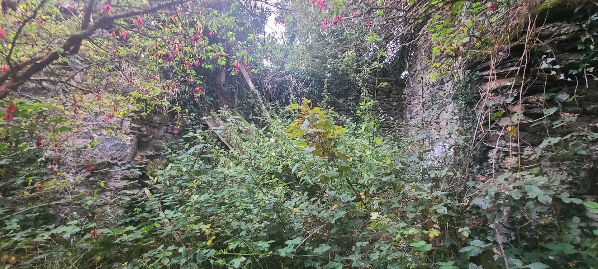
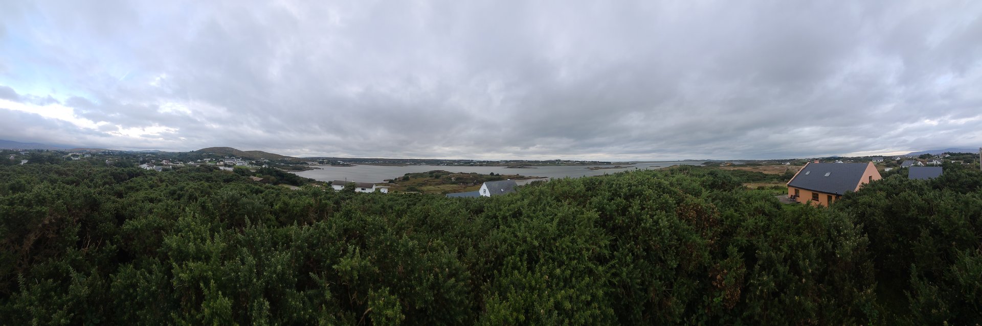
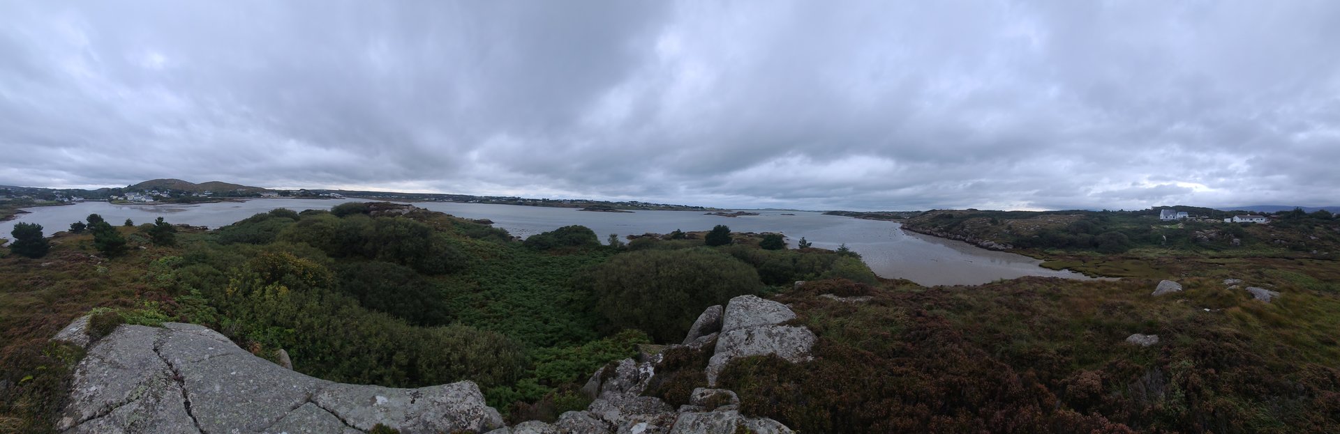
A full day exploring the Fanad and Rosguill peninsulas in northwest Donegal, passing Fanad Head Lighthouse and the scattered villages along the coast. The route covered nearly 200 km of single-track roads with over 3,600 metres of climbing through some of Donegal's most remote terrain.
Show full route (19 stops)
Day Statistics 198km • 207 photos
🗺️ Route Map
📸 Photos (16 of 64)
Refresh page to see different photos
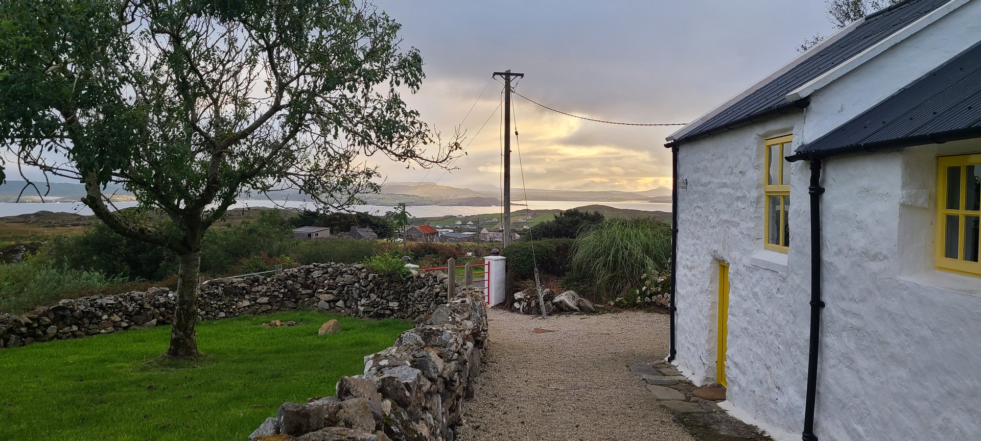
Ards & Creeslough: Short Donegal Loop (84 km)
Sunday, September 11, 2022
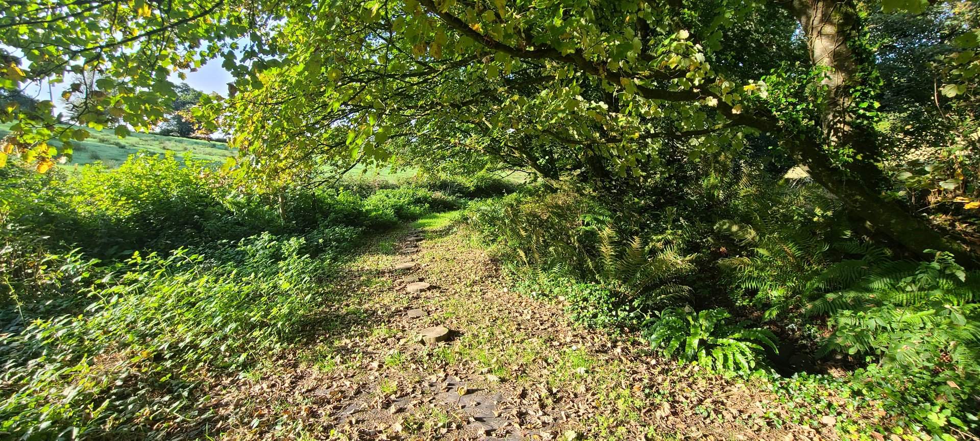
A shorter loop from Rosguill through Ards Forest Park and Creeslough, with a stop at Doe Castle on the shore of Sheephaven Bay. The route circled back through Kilmacrenan and Cranford, keeping to the hilly interior of north Donegal.
Show full route (10 stops)
Day Statistics 84km • 207 photos
🗺️ Route Map
📸 Photos (16 of 17)
Refresh page to see different photos
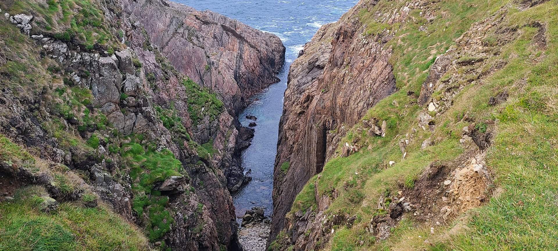
Donegal to Galway: Big Transit South (313 km)
Monday, September 12, 2022
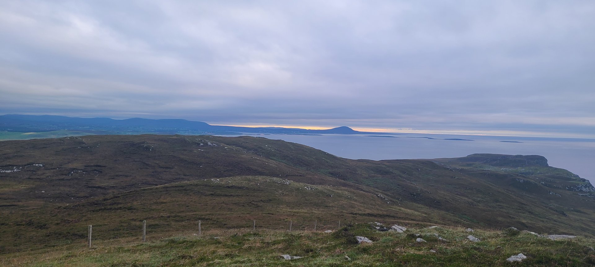
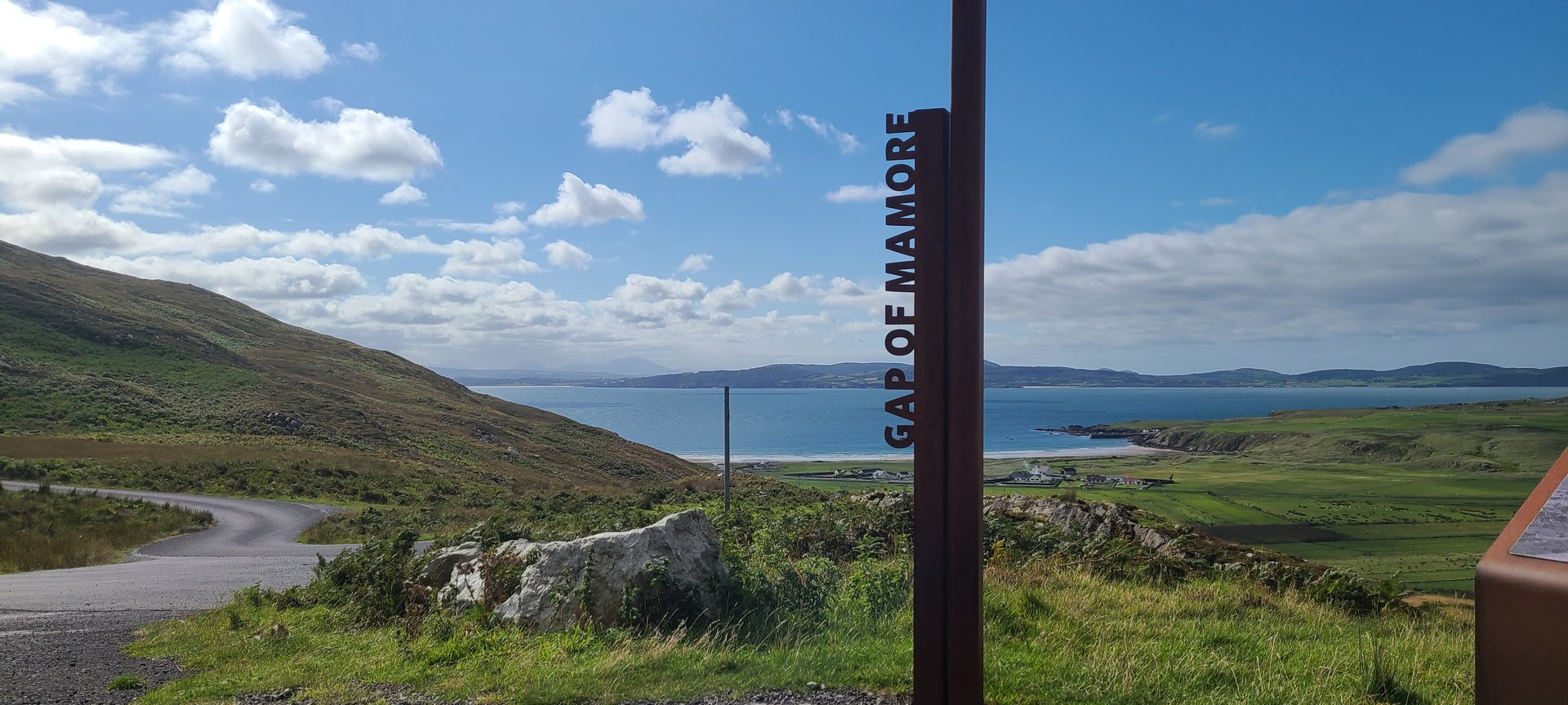
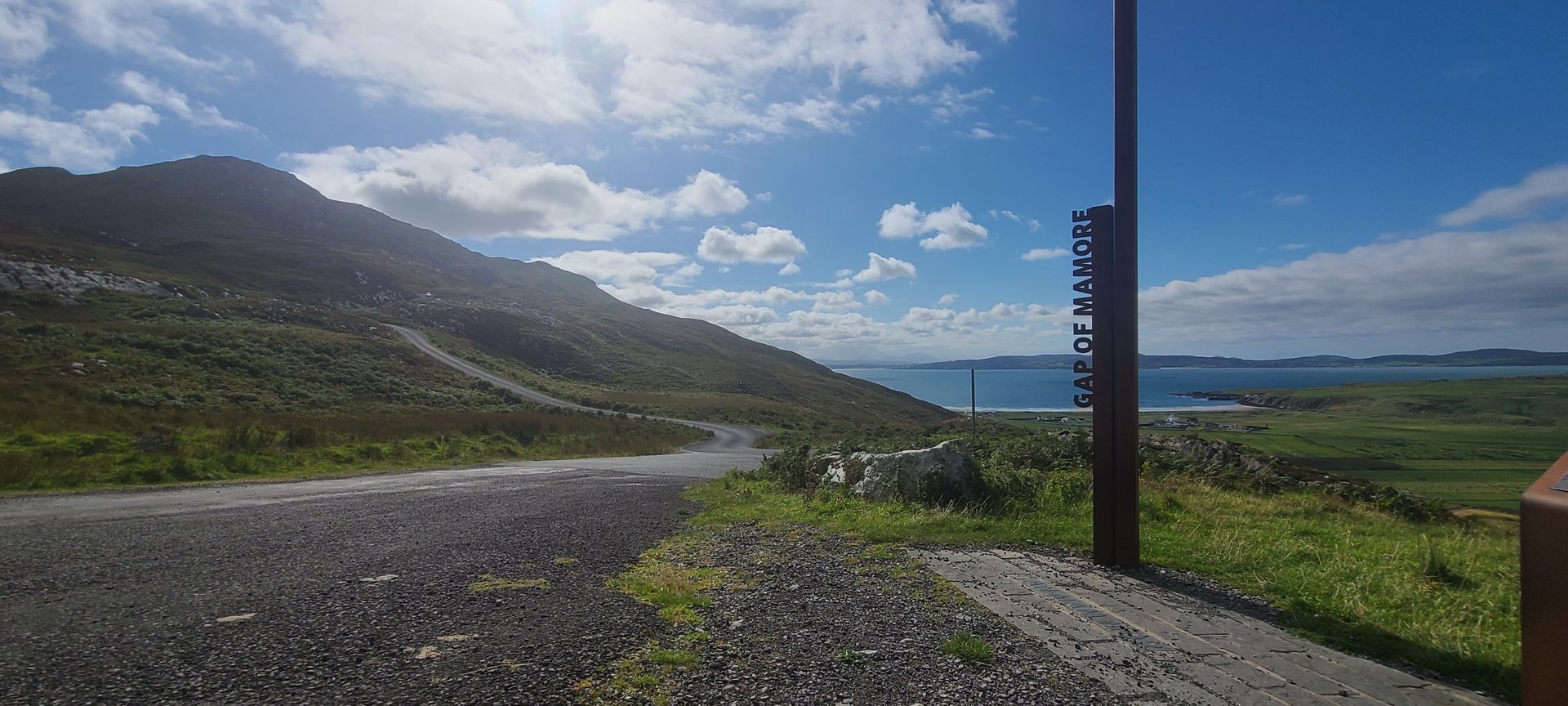
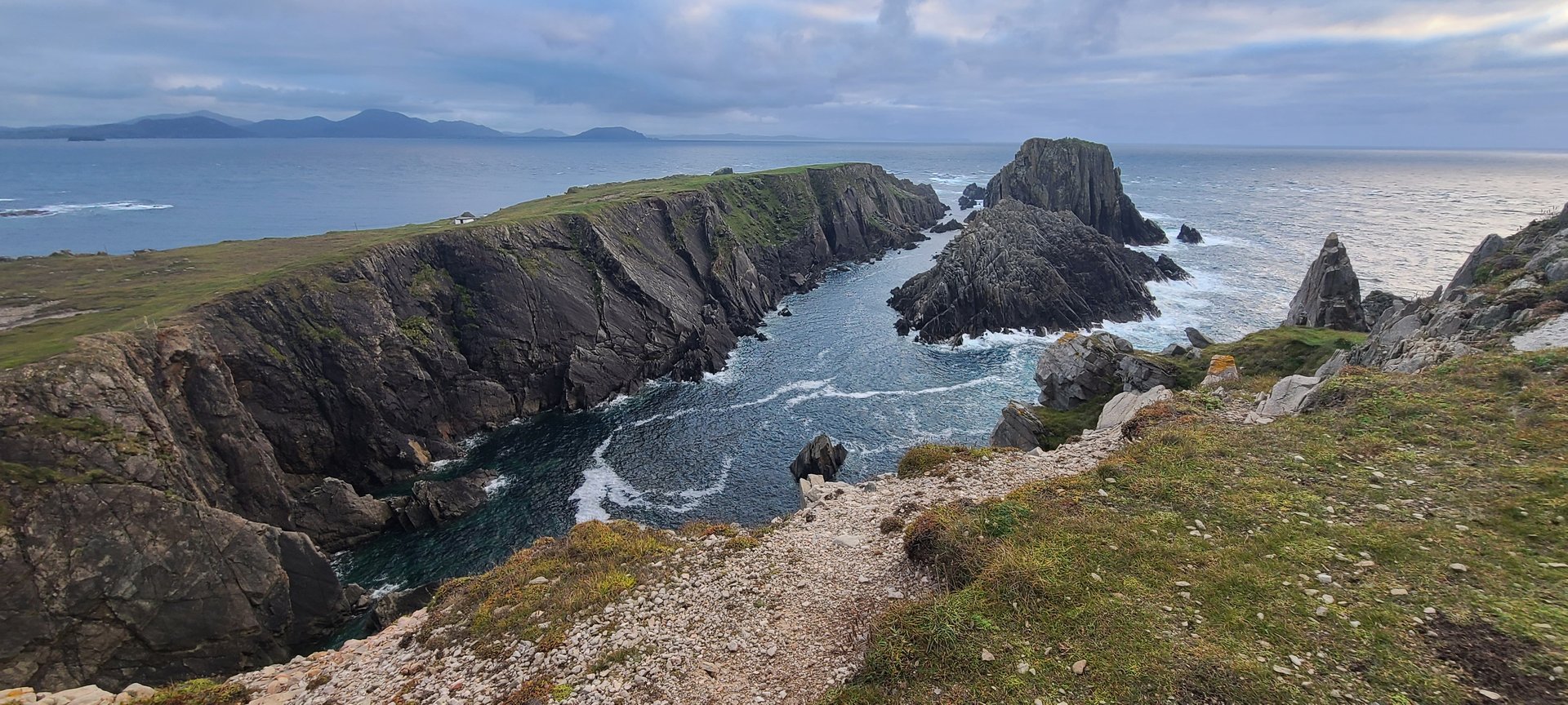
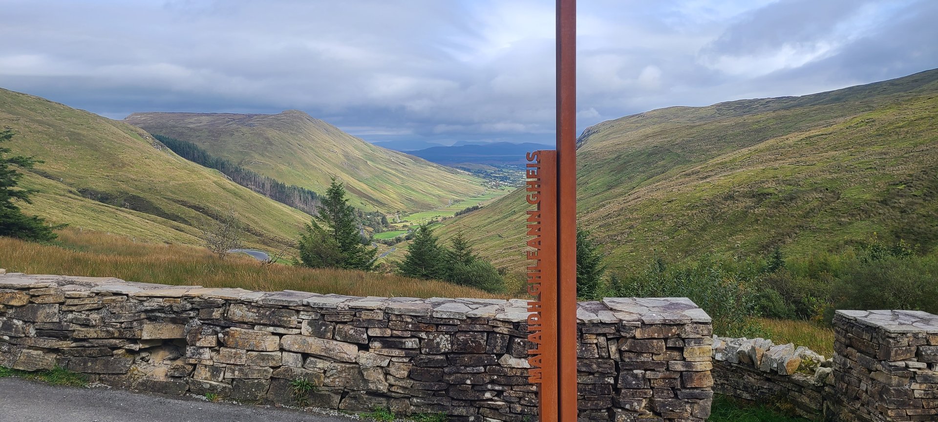
The longest day of driving on the trip, crossing from Rosguill south through the Inishowen Peninsula via the Gap of Mamore, Malin Head, and Hell's Hole before returning through Donegal's interior. Over 4,800 metres of elevation gain across 313 km of mountainous roads.
Show full route (37 stops)
Day Statistics 313km • 207 photos
🗺️ Route Map
📸 Photos (16 of 48)

Refresh page to see different photos
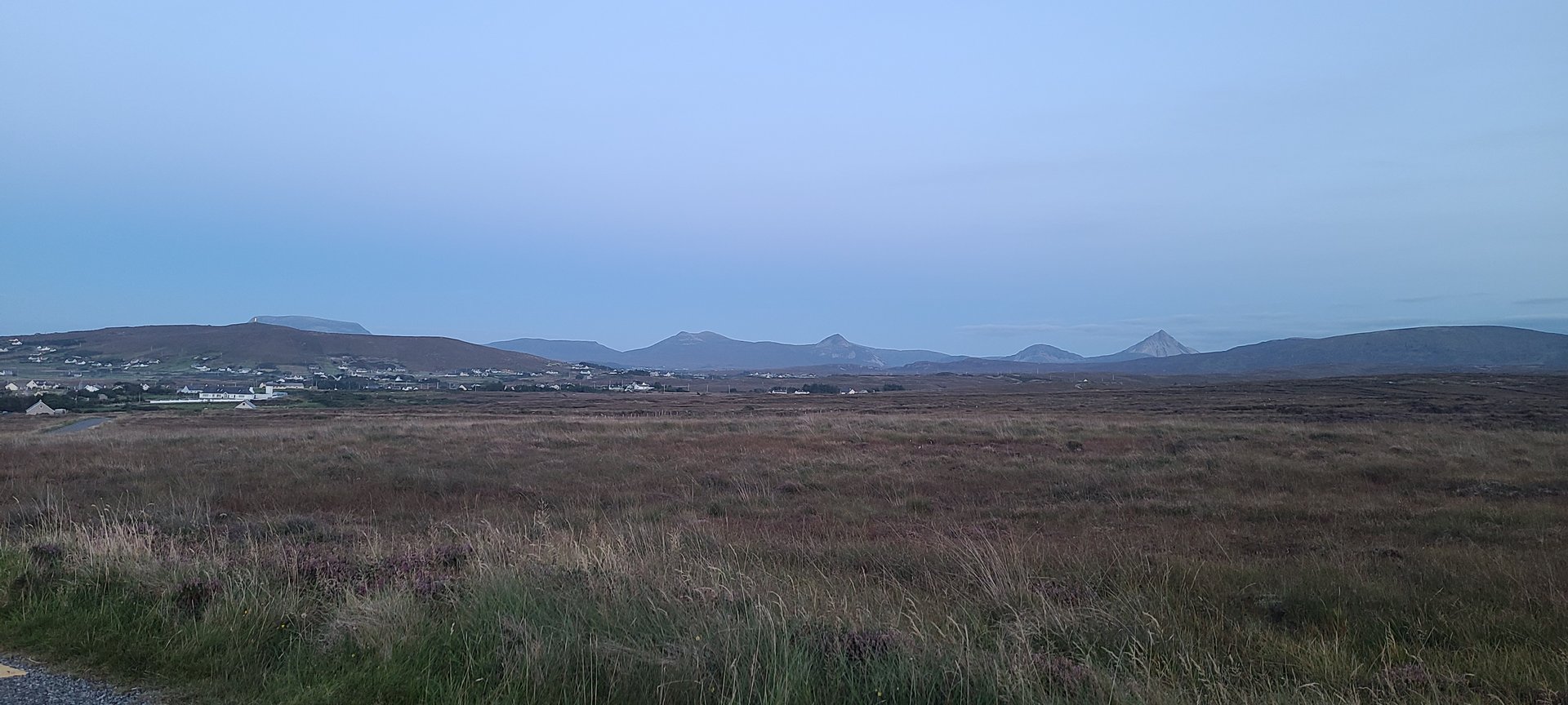
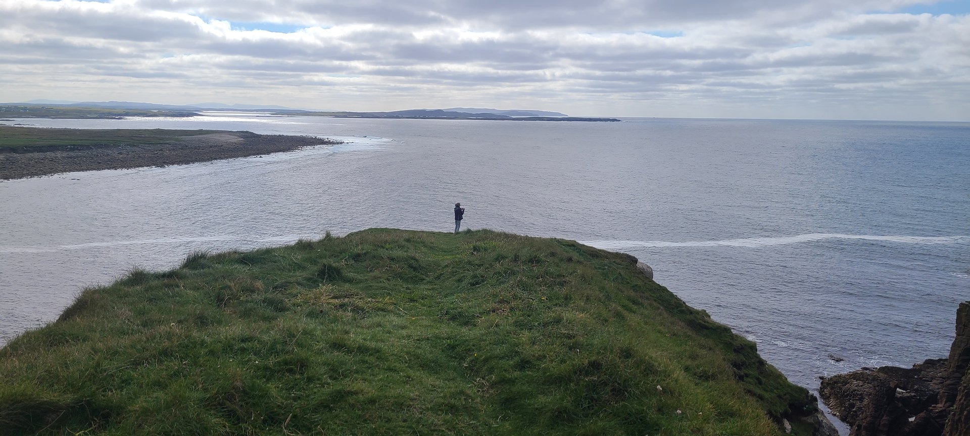
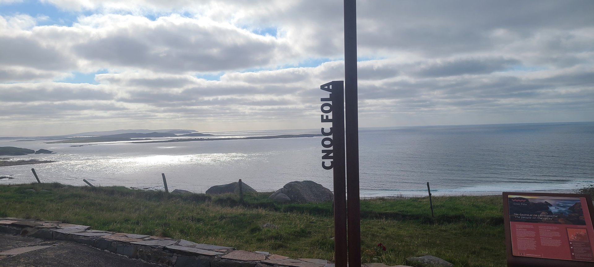
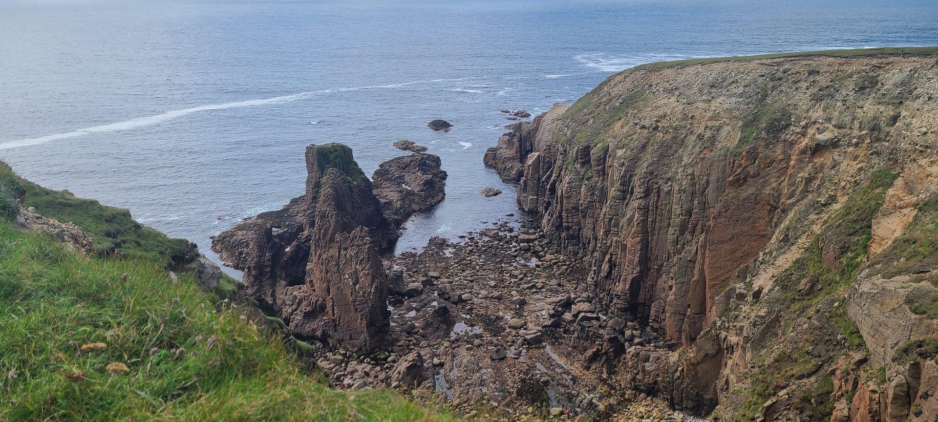
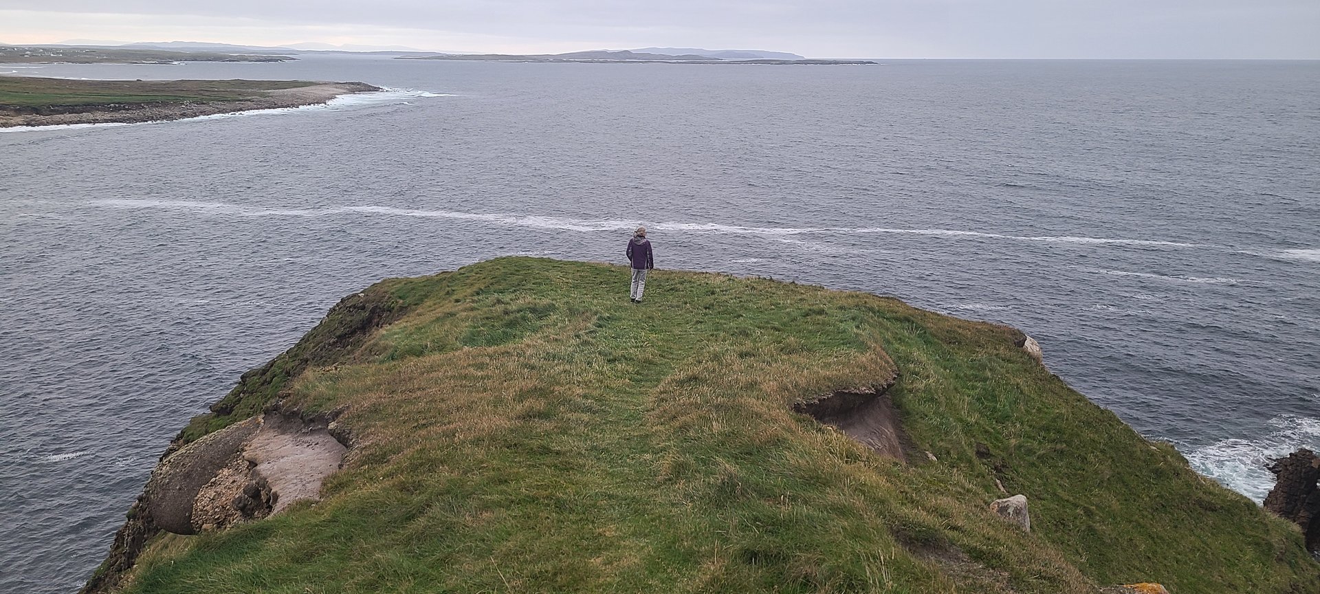
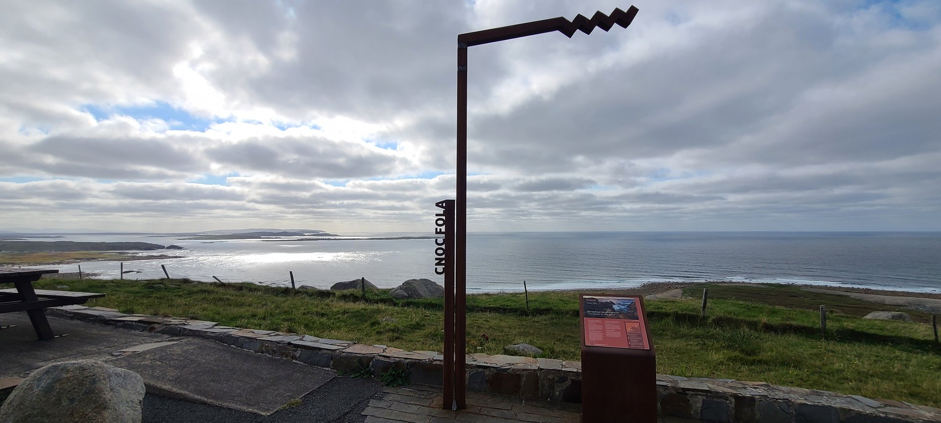
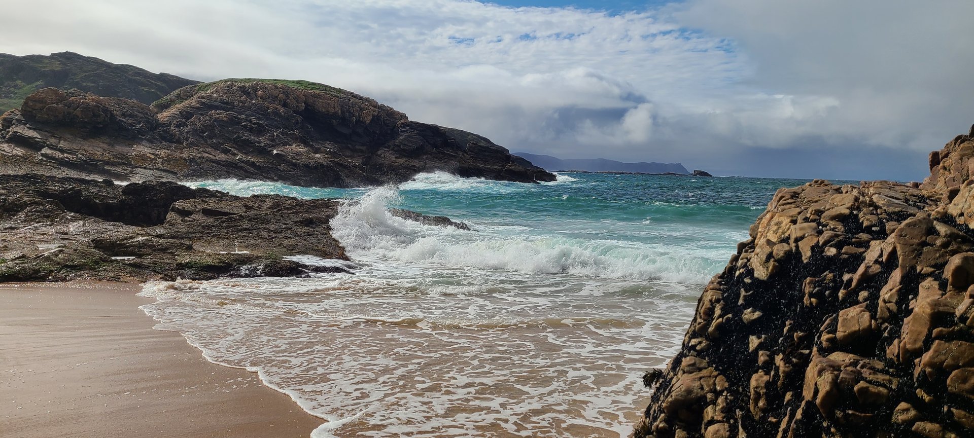
West Donegal: Rosguill to Bloody Foreland (141 km)
Tuesday, September 13, 2022
A loop westward from Rosguill to the Bloody Foreland coast at Knockfola and Magheraroarty, passing through Gortahork and the Gaeltacht villages of northwest Donegal. The route returned via Brinlack and Doe Castle on Sheephaven Bay.
Show full route (15 stops)
Day Statistics 141km • 207 photos
🗺️ Route Map
📸 Photos
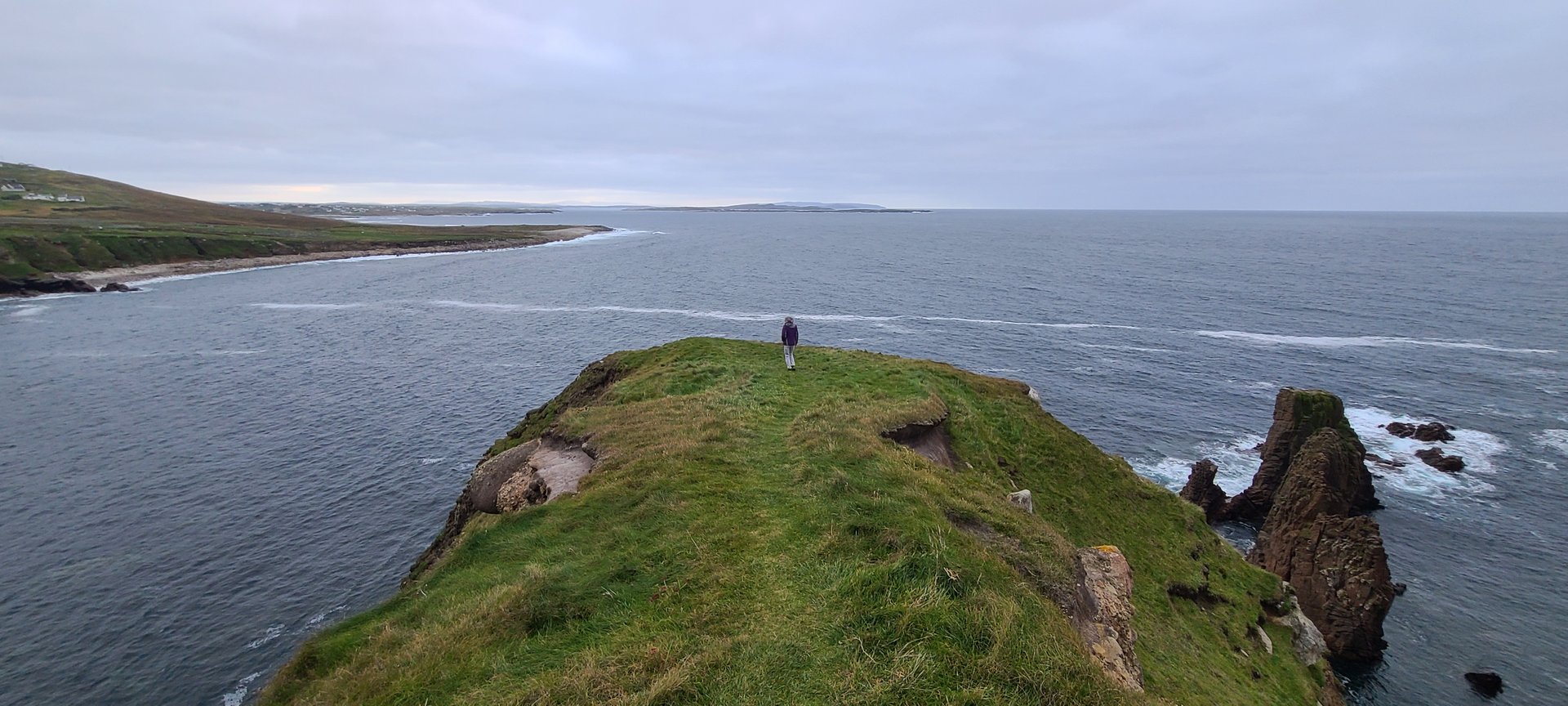
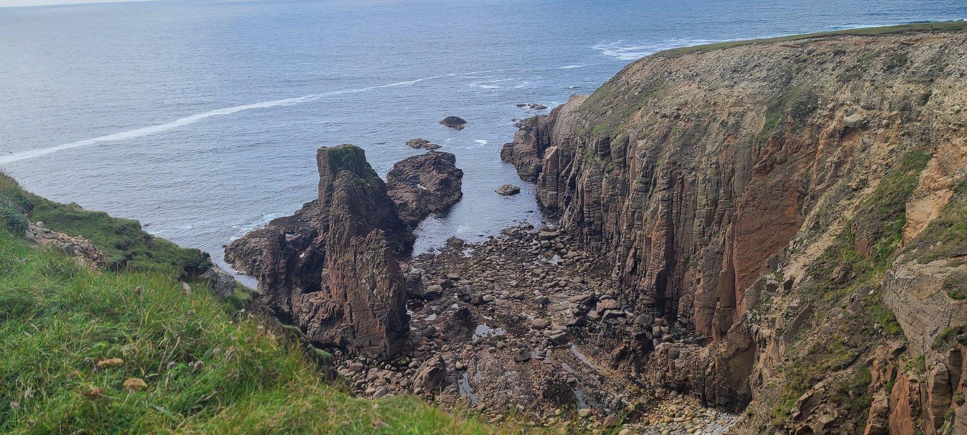
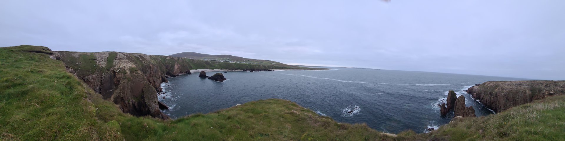
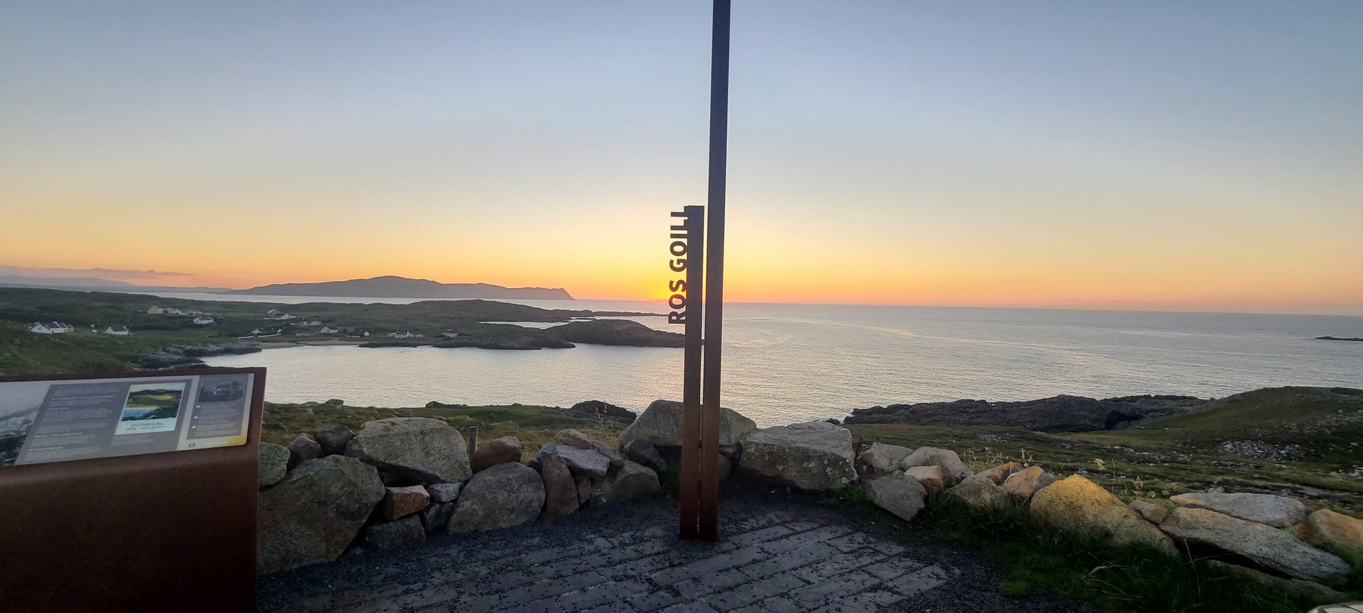
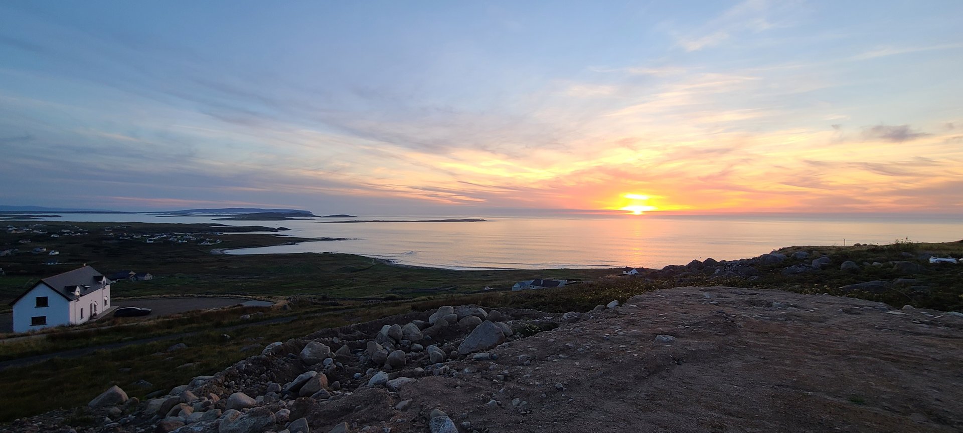
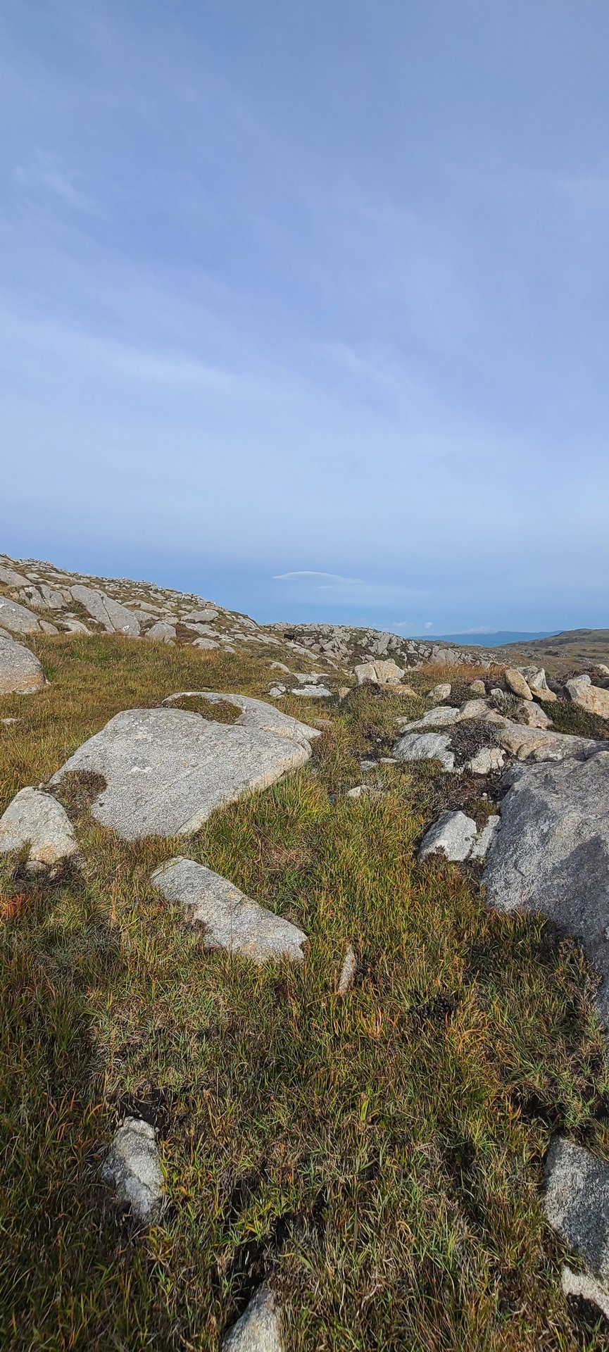
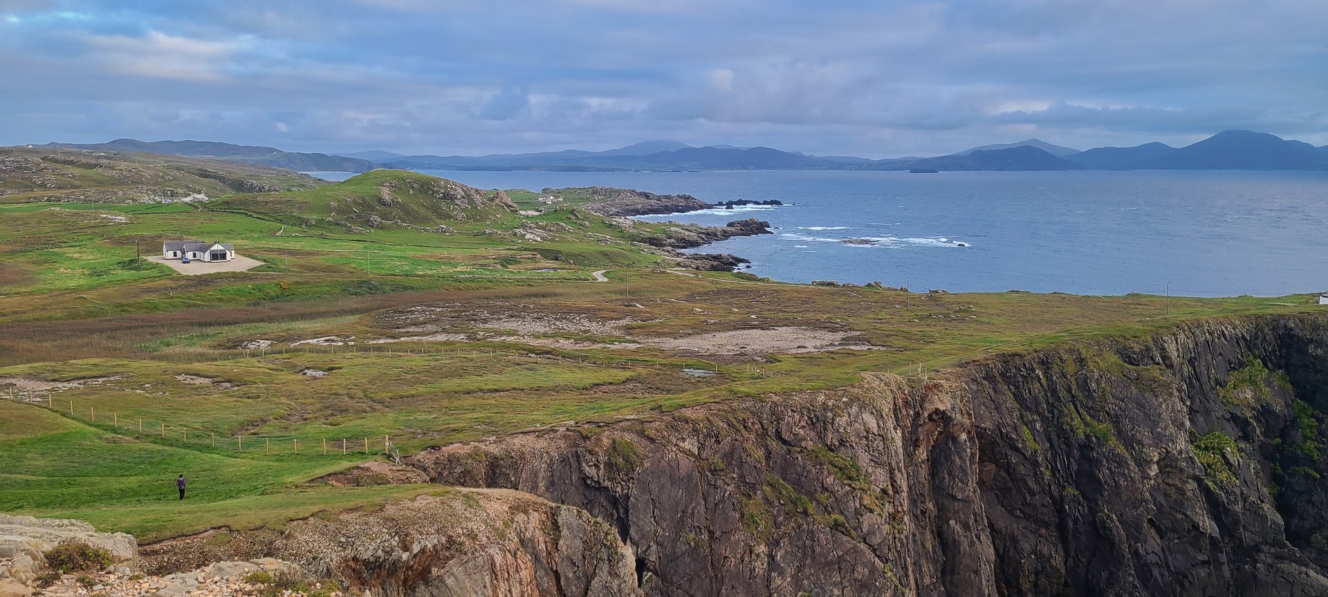
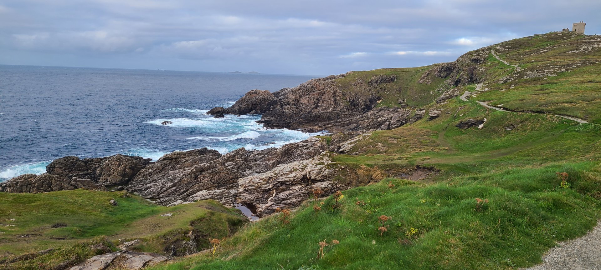
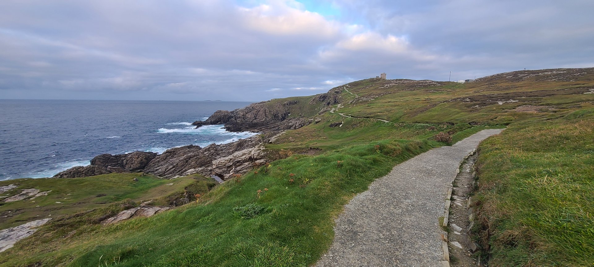
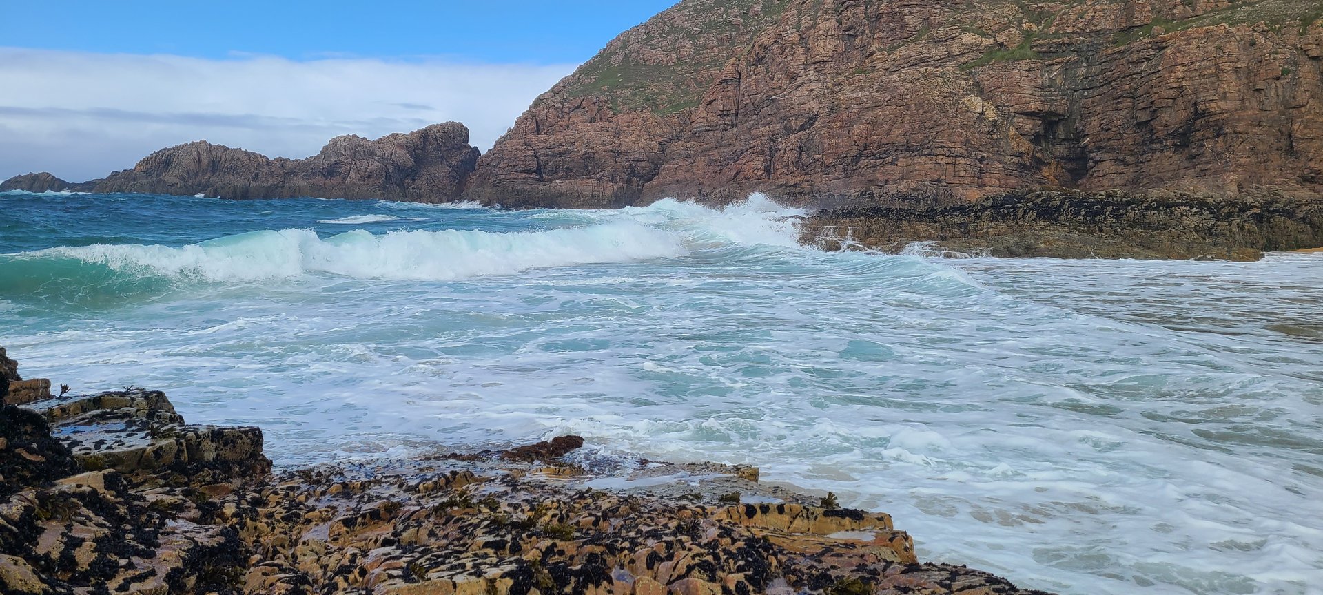
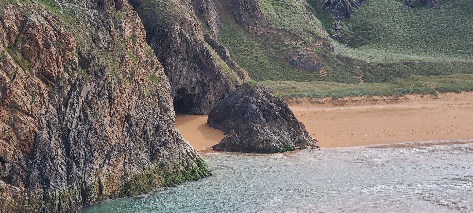
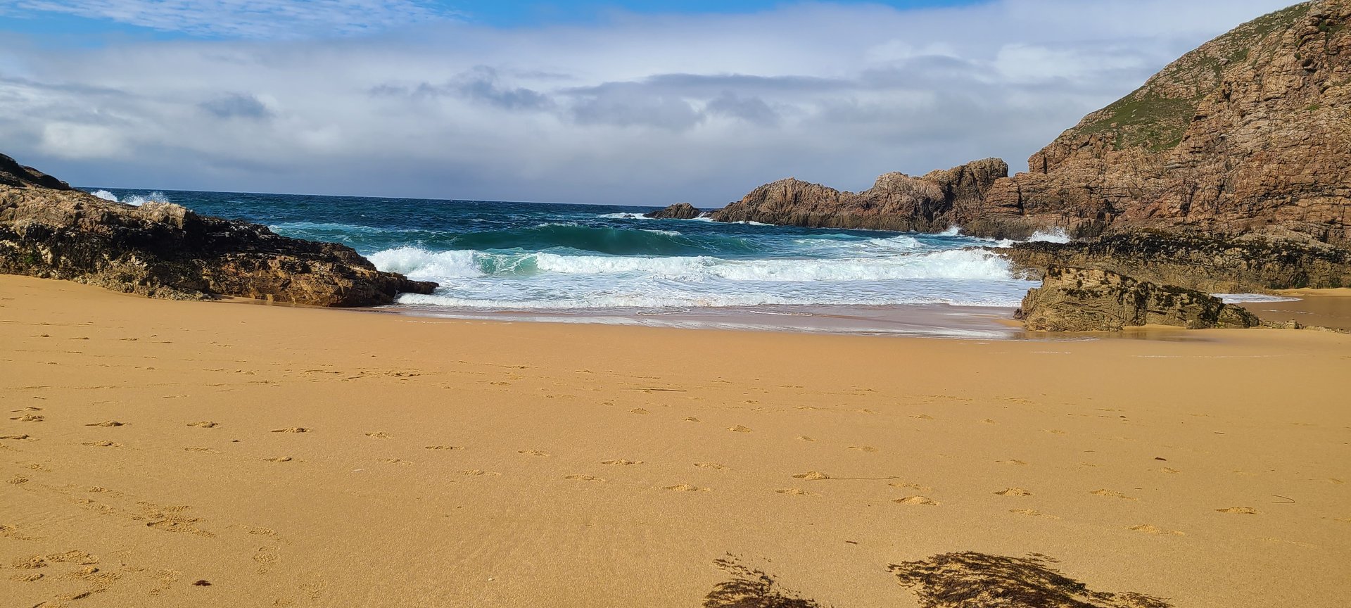
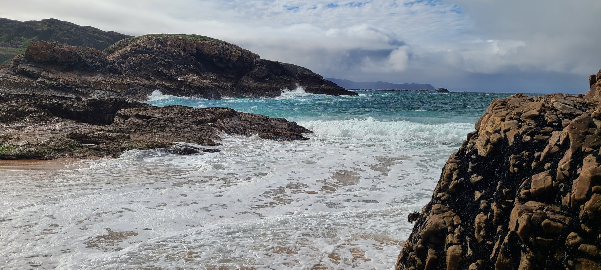
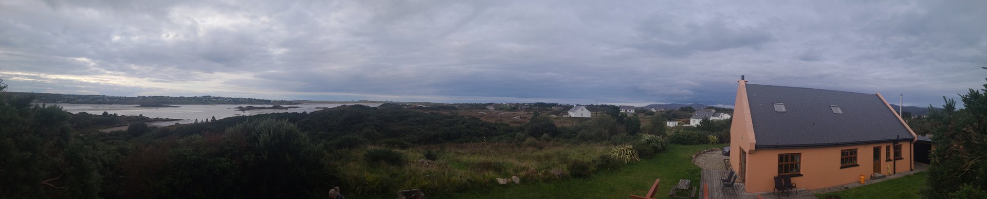
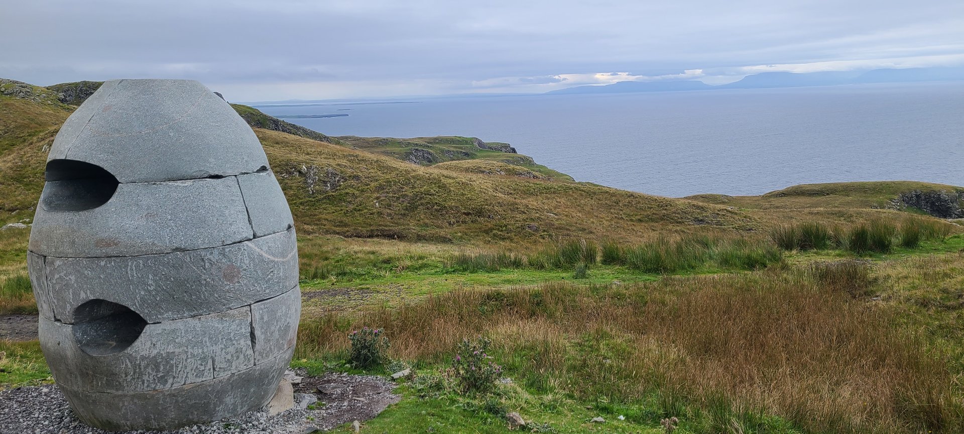
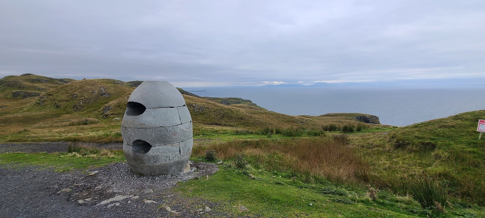
Rosguill: Melmore Head Walk (18 km)
Wednesday, September 14, 2022
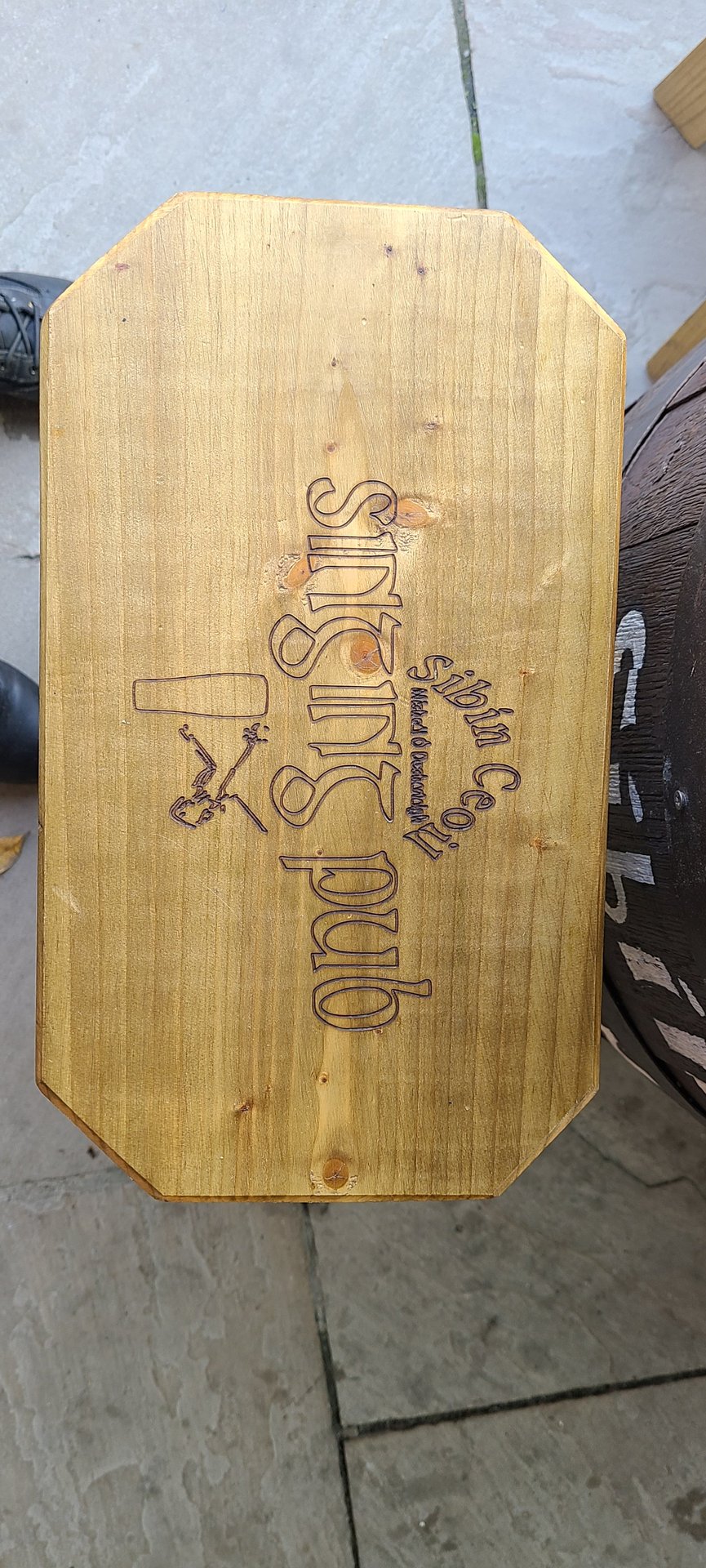
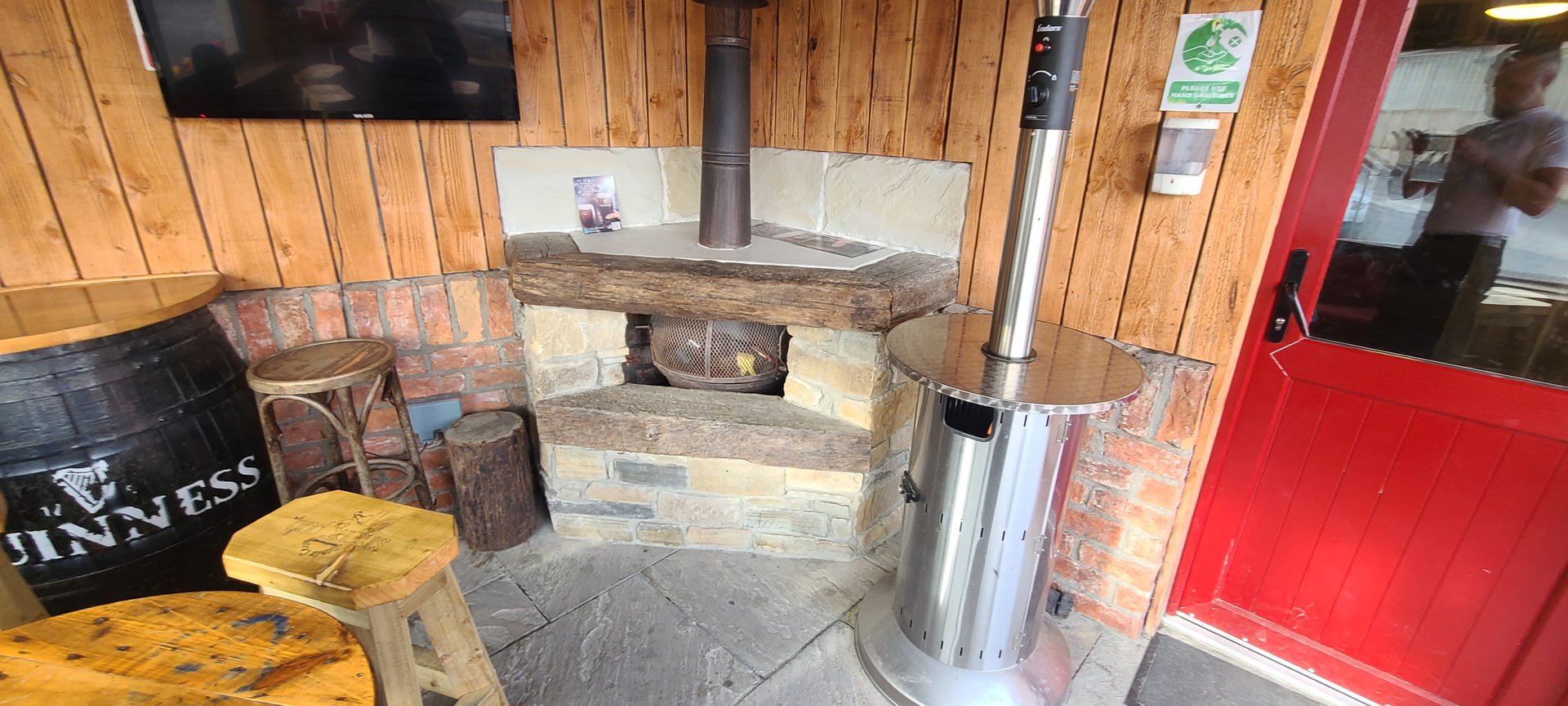
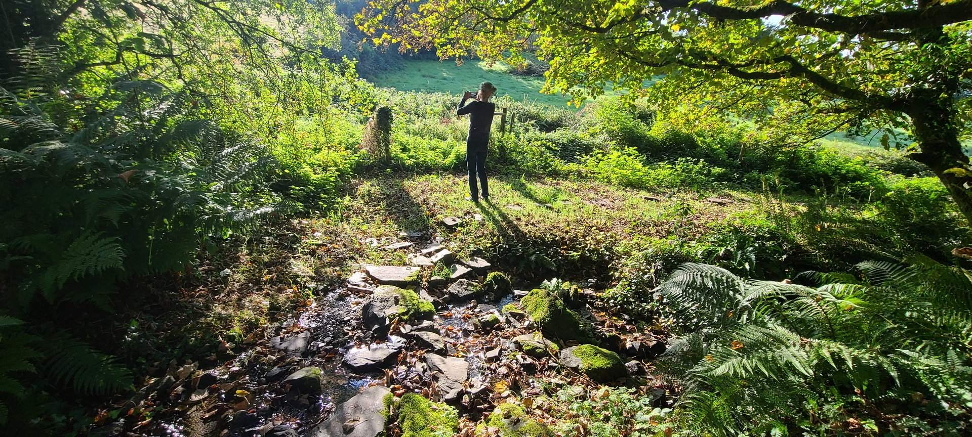
A walking day on the Rosguill Peninsula, covering the headland out to Melmore Head with 34 photos taken along the coastal path. The day ended at the Singing Pub, a well-known stop on the peninsula.
Day Statistics 18km • 207 photos
🗺️ Route Map
📸 Photos (16 of 26)

Refresh page to see different photos
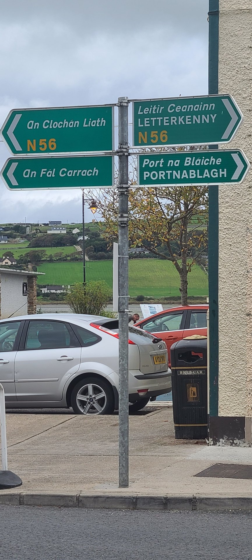
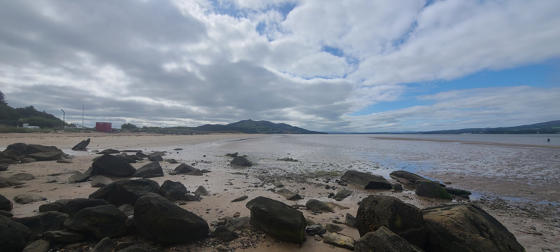
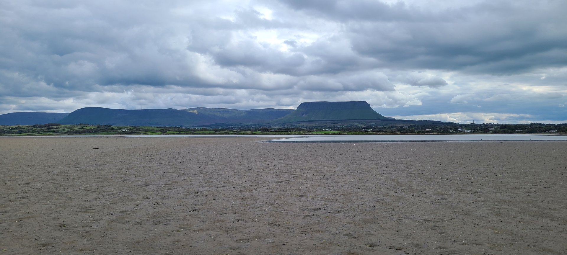
Donegal to Mayo: South via Sligo (240 km)
Thursday, September 15, 2022
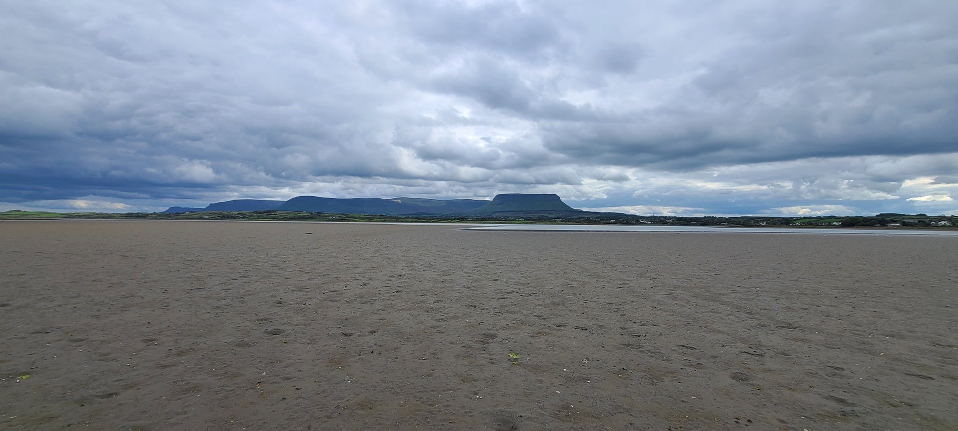
A transit day leaving Donegal and heading south through Stranorlar, Donegal town, and into County Sligo past Drumcliff and Yeats country. The route continued through Tobercurry and into County Mayo, finishing at the Castlecourt Hotel near Westport.
Show full route (33 stops)
Day Statistics 240km • 207 photos
🗺️ Route Map
📸 Photos
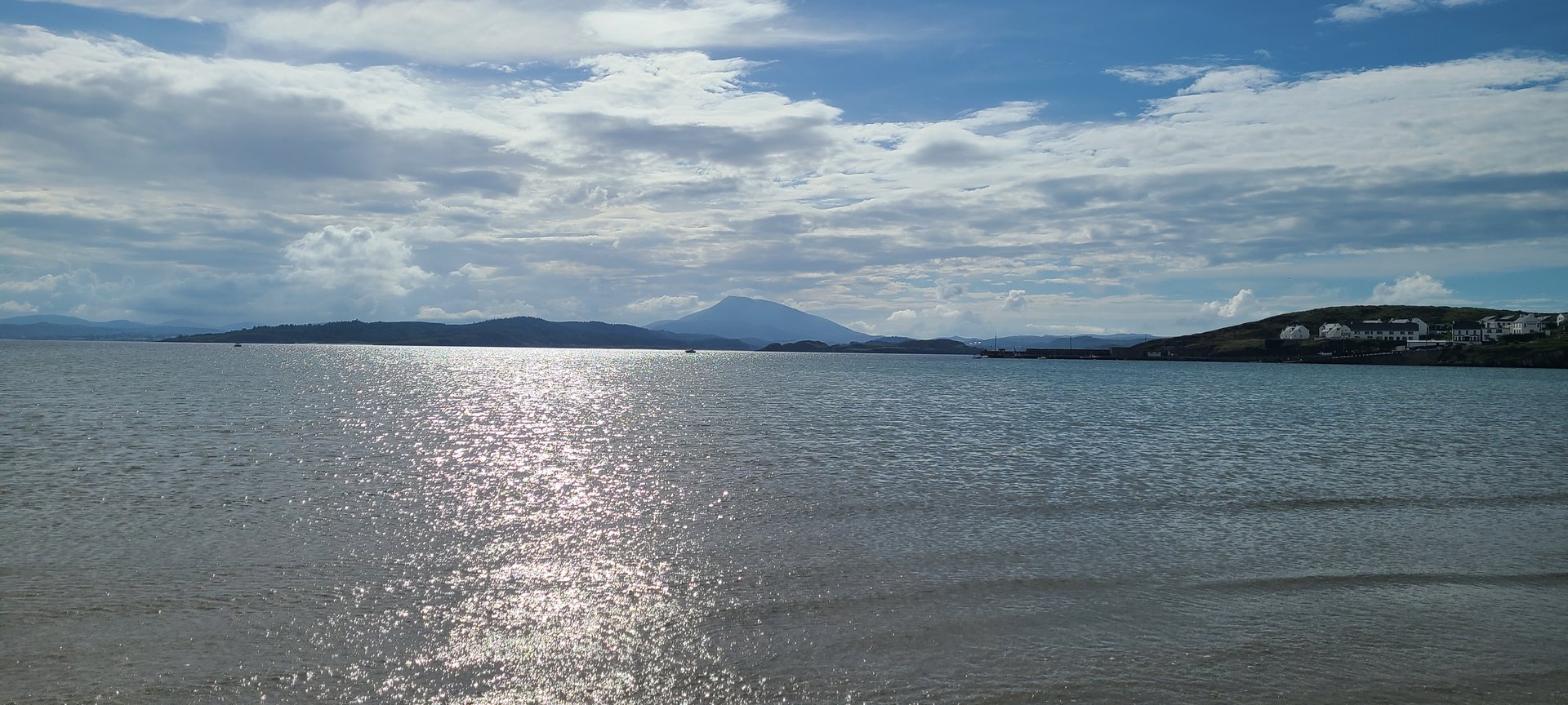
Achill Island: Atlantic Drive Loop (94 km)
Friday, September 16, 2022
A loop around Achill Island off the Mayo coast, following the Atlantic Drive through Corraun, Doogea, and Slievemore. The route crossed onto the island via the bridge at Achill Sound and returned through Newport on the mainland.
Show full route (9 stops)
Day Statistics 94km • 207 photos
🗺️ Route Map
Galway to Tipperary: Clare & Lough Derg (164 km)
Saturday, September 17, 2022
Heading east from County Galway through Ardrahan and Gort, crossing into County Clare at Tulla, and continuing to Killaloe on the southern end of Lough Derg. The day finished in north Tipperary near Knigh, on the western shore of the lake.
Show full route (25 stops)
Day Statistics 164km • 207 photos
🗺️ Route Map
📸 Photos
Lough Derg: Killaloe & Dromineer (75 km)
Sunday, September 18, 2022
A shorter day circling the western and northern shores of Lough Derg, from Killaloe north to the harbour village of Dromineer. The route passed through Carrigatogher and the quiet Tipperary countryside between the lake and the Silvermine Mountains.
Show full route (14 stops)
Day Statistics 75km • 207 photos
🗺️ Route Map
📸 Photos
Tipperary to Donegal: Midlands Return (379 km)
Monday, September 19, 2022
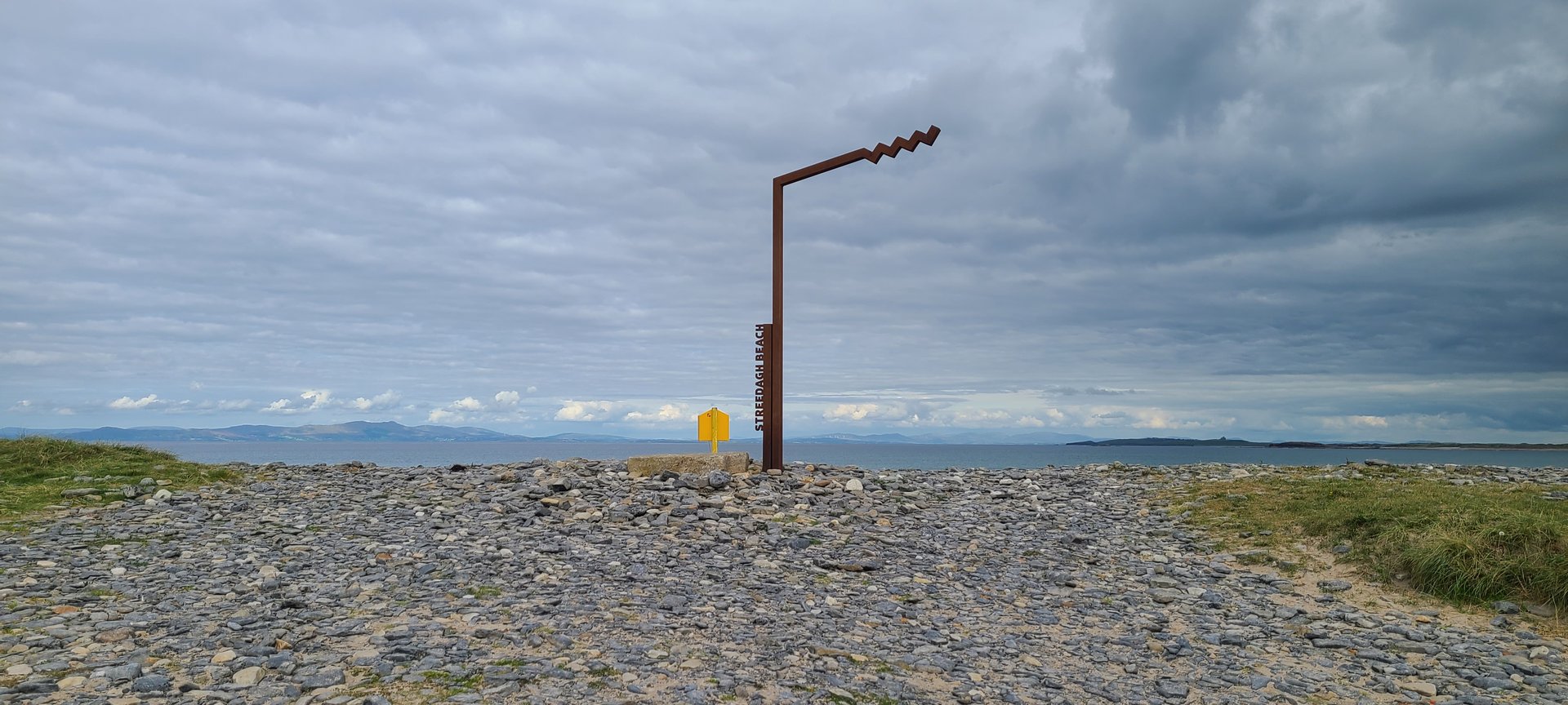
The big return north: 379 km from Tipperary through the midlands of Offaly and Westmeath, across Roscommon, and back into Sligo via Collooney. The route continued north through Streedagh and into Donegal, finishing at Annagary on the west coast.
Show full route (56 stops)
Day Statistics 379km • 207 photos
🗺️ Route Map
📸 Photos

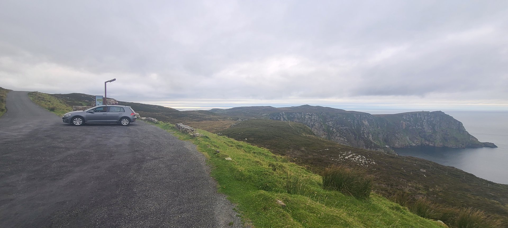
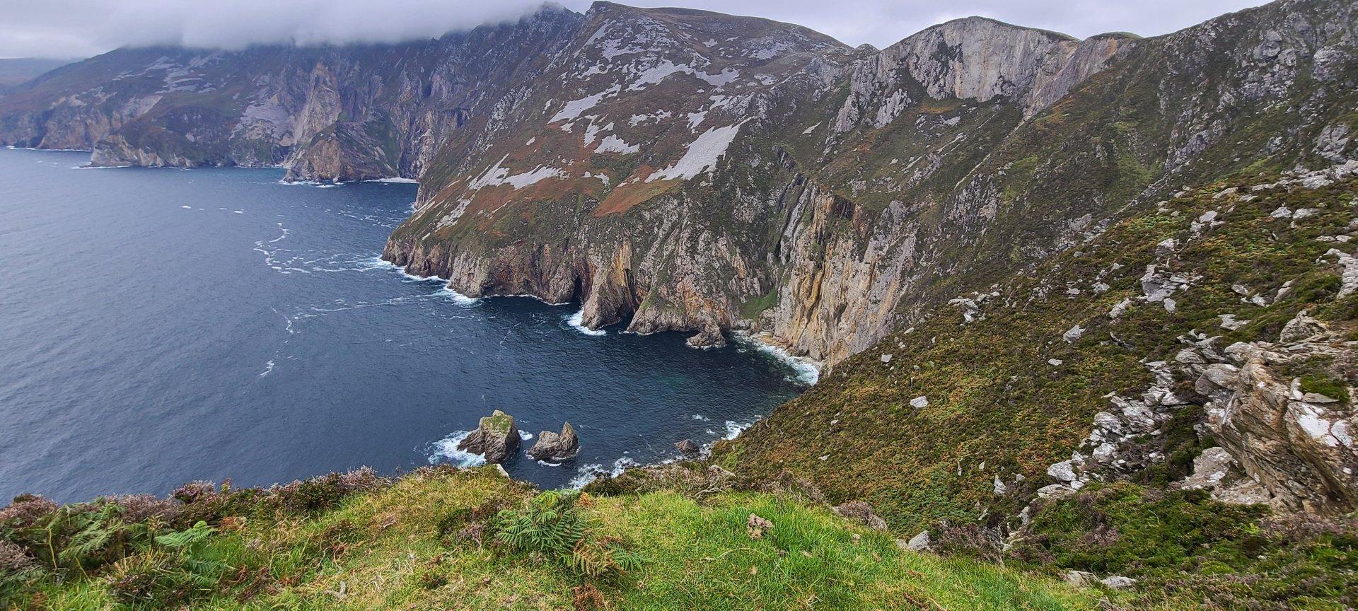
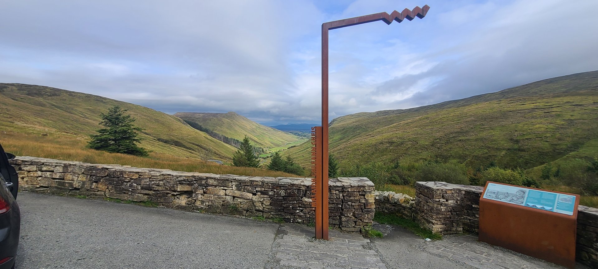
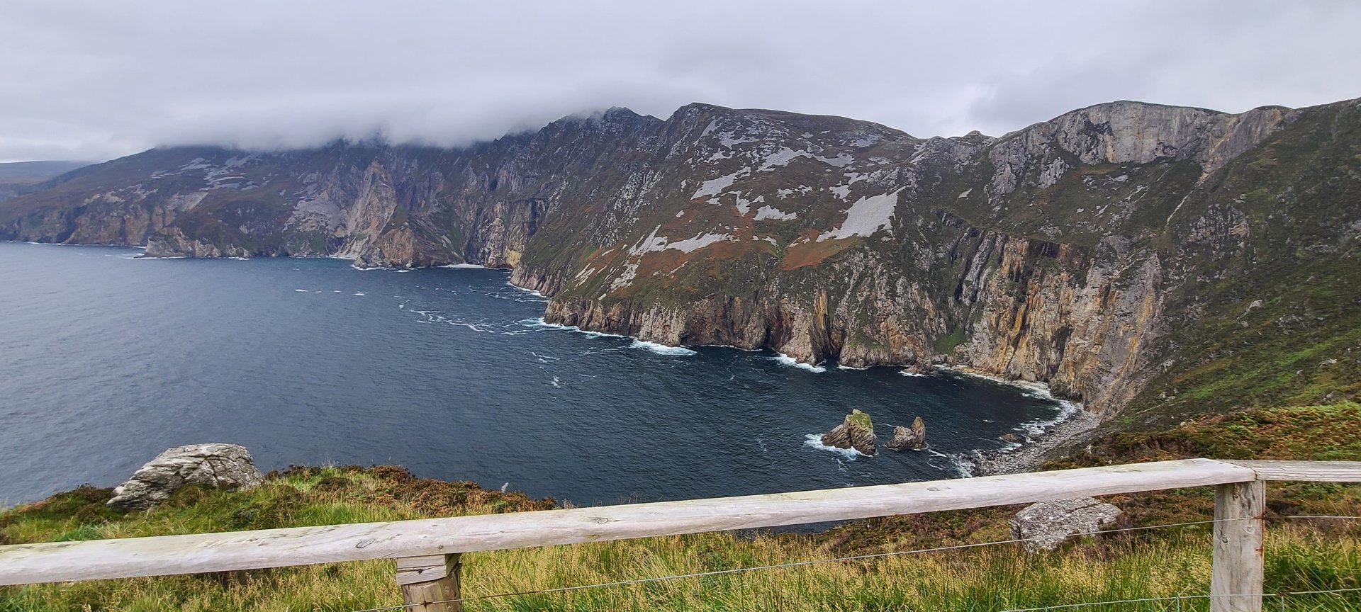
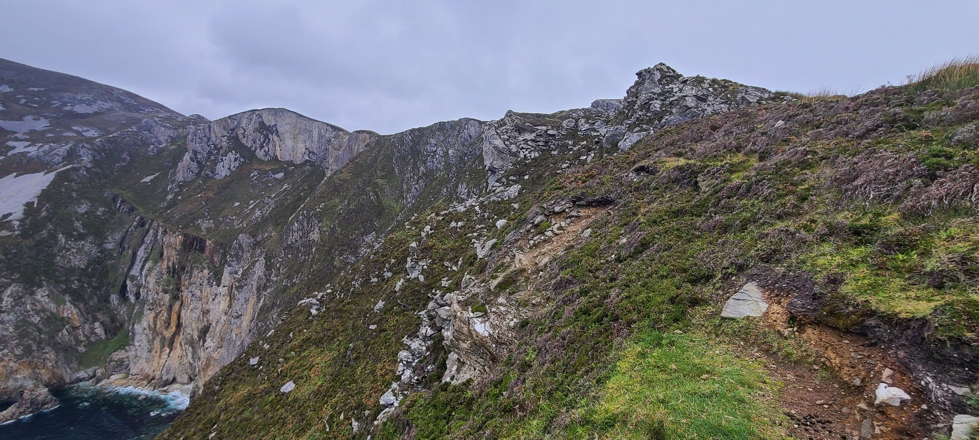
Southwest Donegal: Glengesh & Glen Bay (134 km)
Tuesday, September 20, 2022
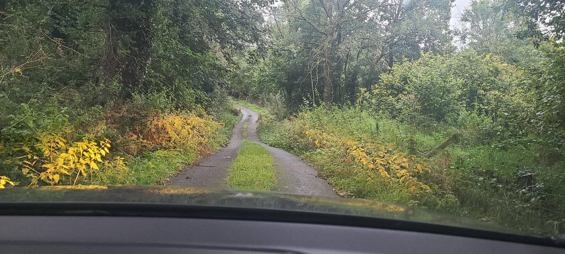
A drive into southwest Donegal through the Glengesh Pass, one of the most dramatic mountain roads in the county, descending into Glencolumbkille on the Atlantic coast. The return route passed through Ardara and Lettermacaward with 2,500 metres of climbing.
Show full route (14 stops)
Day Statistics 134km • 207 photos
🗺️ Route Map
📸 Photos

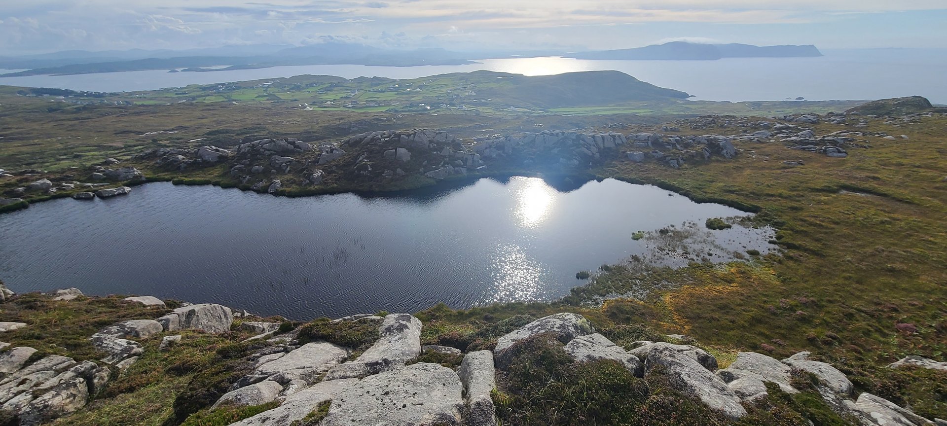
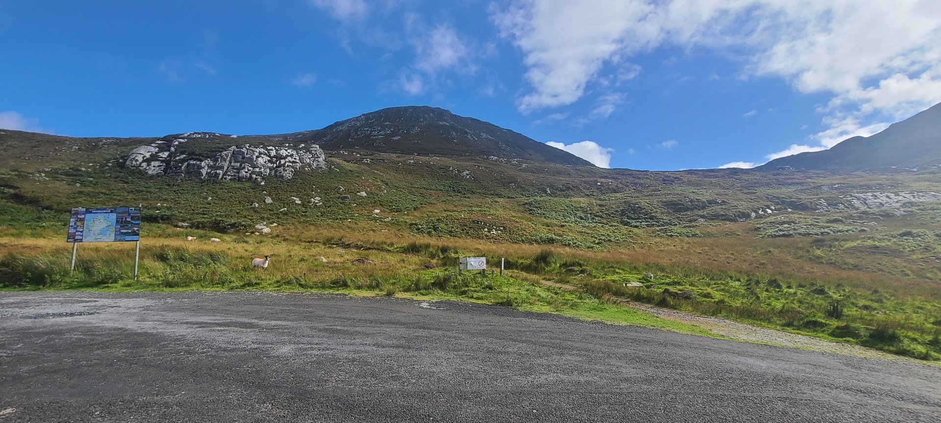
Donegal Interior: Dunlewy & Glenties (187 km)
Wednesday, September 21, 2022
An inland loop from Annagary through Dunlewy at the foot of Mount Errigal, then south through Gartan, Church Hill, and Baile na Finne to Glenties. The return leg passed through Ardara and Donegal town before doubling back north via Bonnyglen.
Show full route (25 stops)
Day Statistics 186km • 207 photos
🗺️ Route Map
📸 Photos
Final Day: Annagary to Ballintra (98 km)
Thursday, September 22, 2022
The final drive of the trip, heading south from Annagary through Glenties, Ardara, and Donegal town to Ballintra. A straightforward 98 km wrap-up through familiar southwest Donegal roads.