Go Move Shift

Journeys in Motion

Ireland Road Trip - Fall 2023

November 29, 2023 – December 18, 2023 • 19 days

19-day Ireland road trip covering 4,011 km in late fall 2023 — Wexford to the west coast, through Cork, Kerry, Clare, and Galway with daily route maps and dashcam footage.

19 Days
4011.2 Kilometers
360 Photos

About This Trip

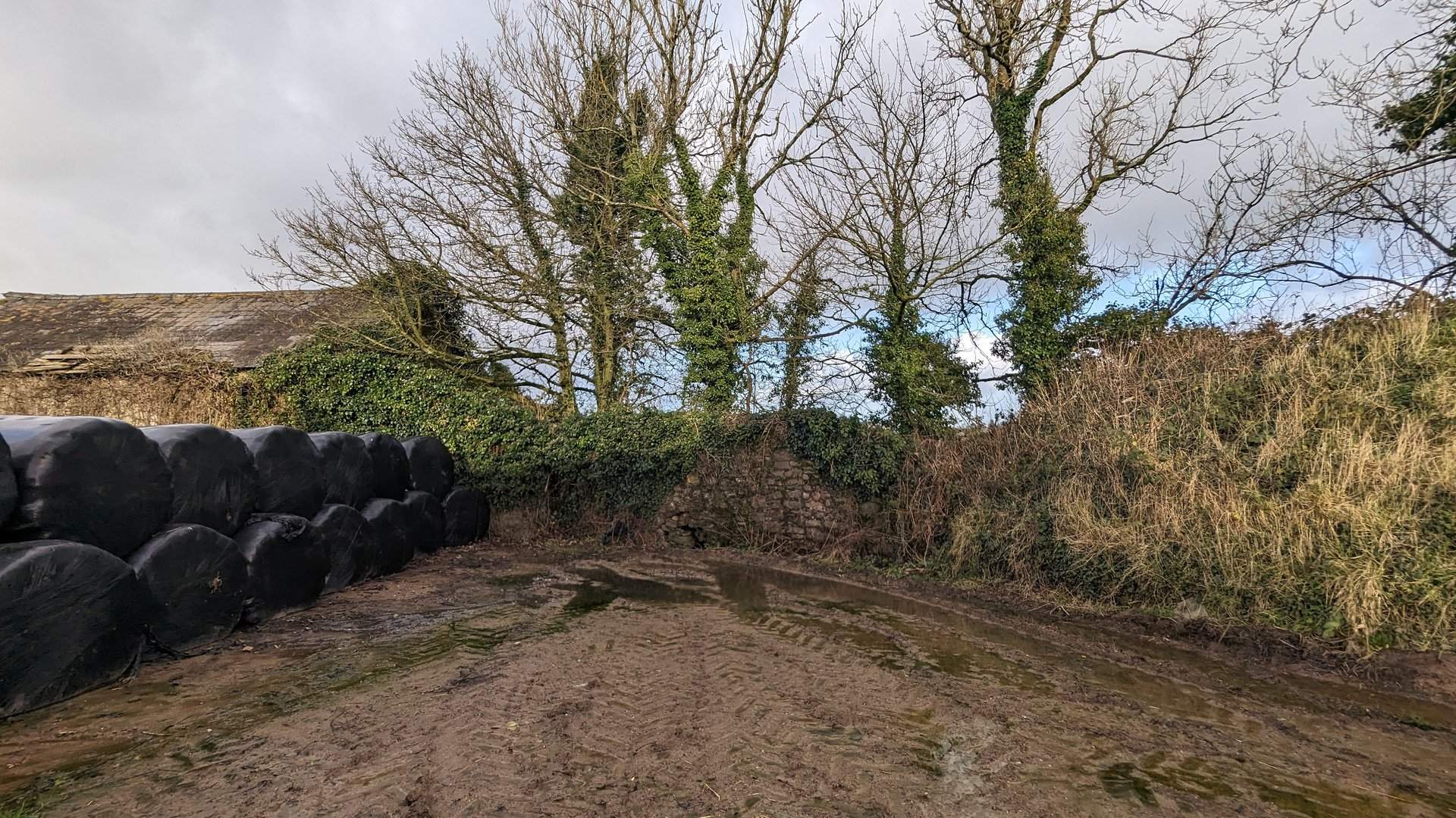
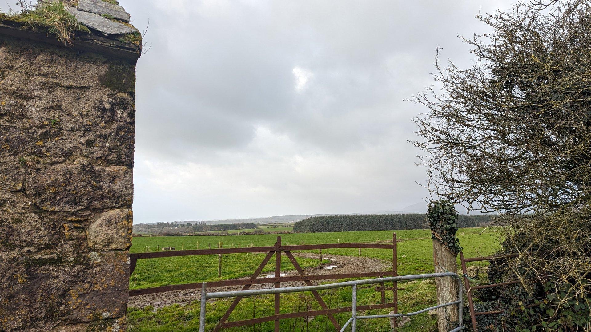
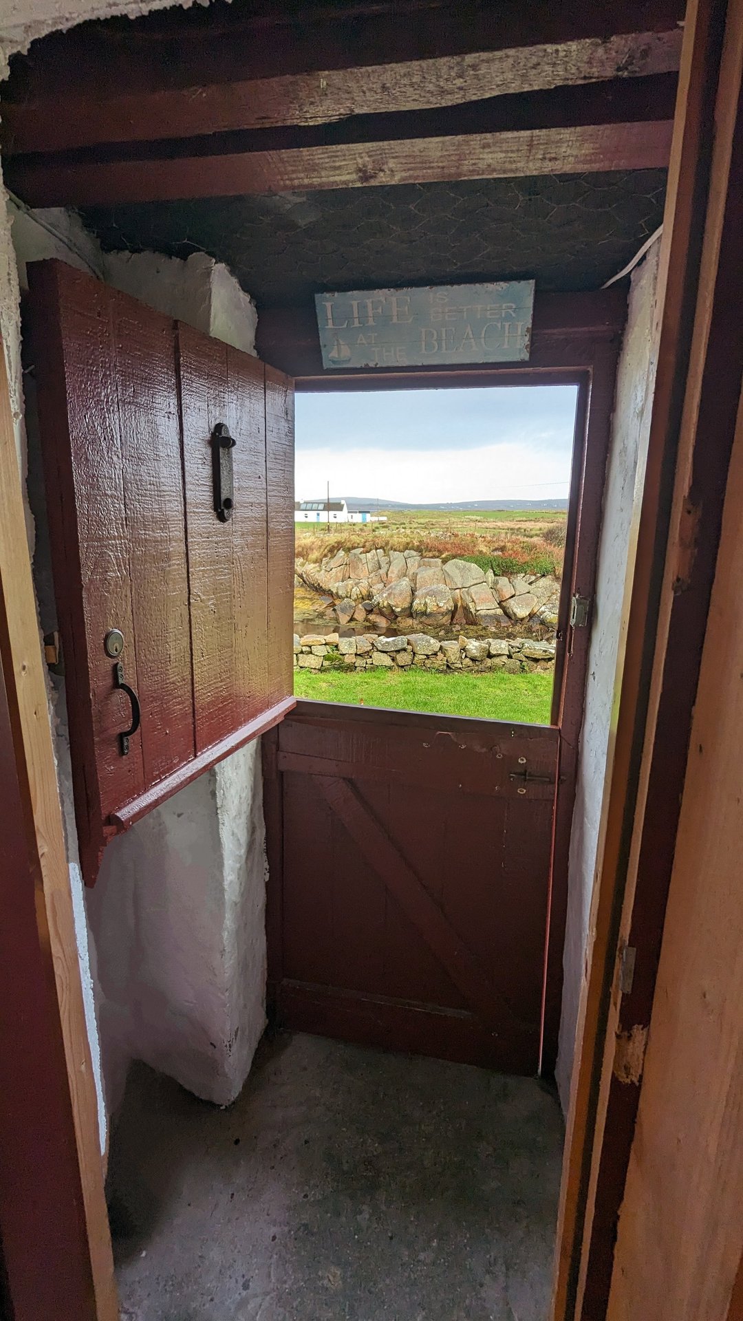
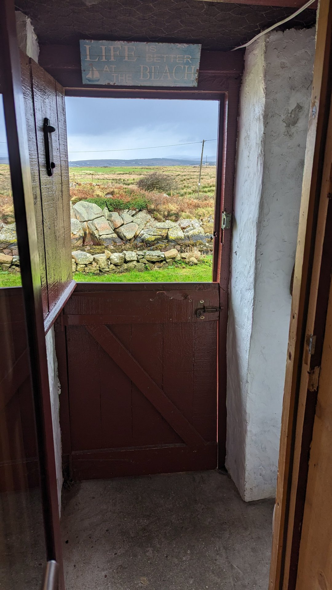
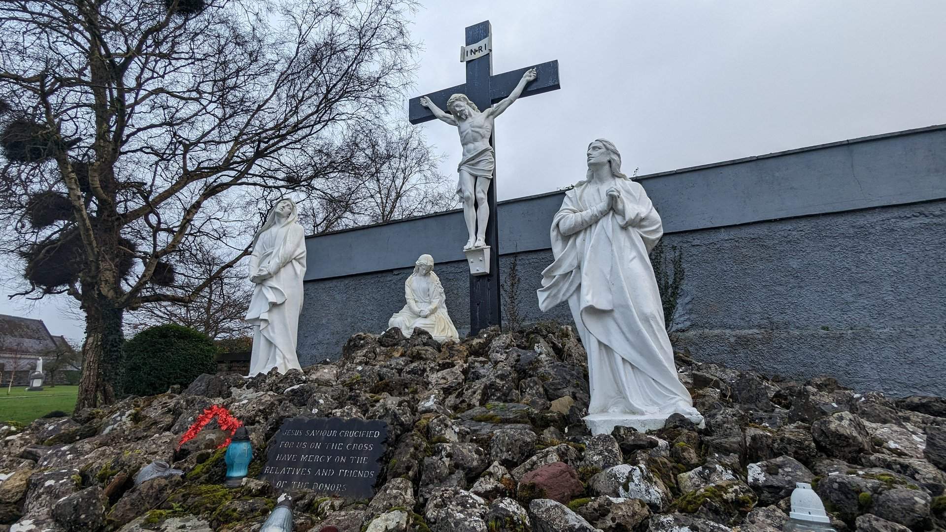
19 days covering 4,011 km across Ireland in late fall 2023. Recording started in the Wexford area on the southeast coast, then headed north to Donegal before working south through the entire west coast — Galway, Clare, Kerry, and Cork.

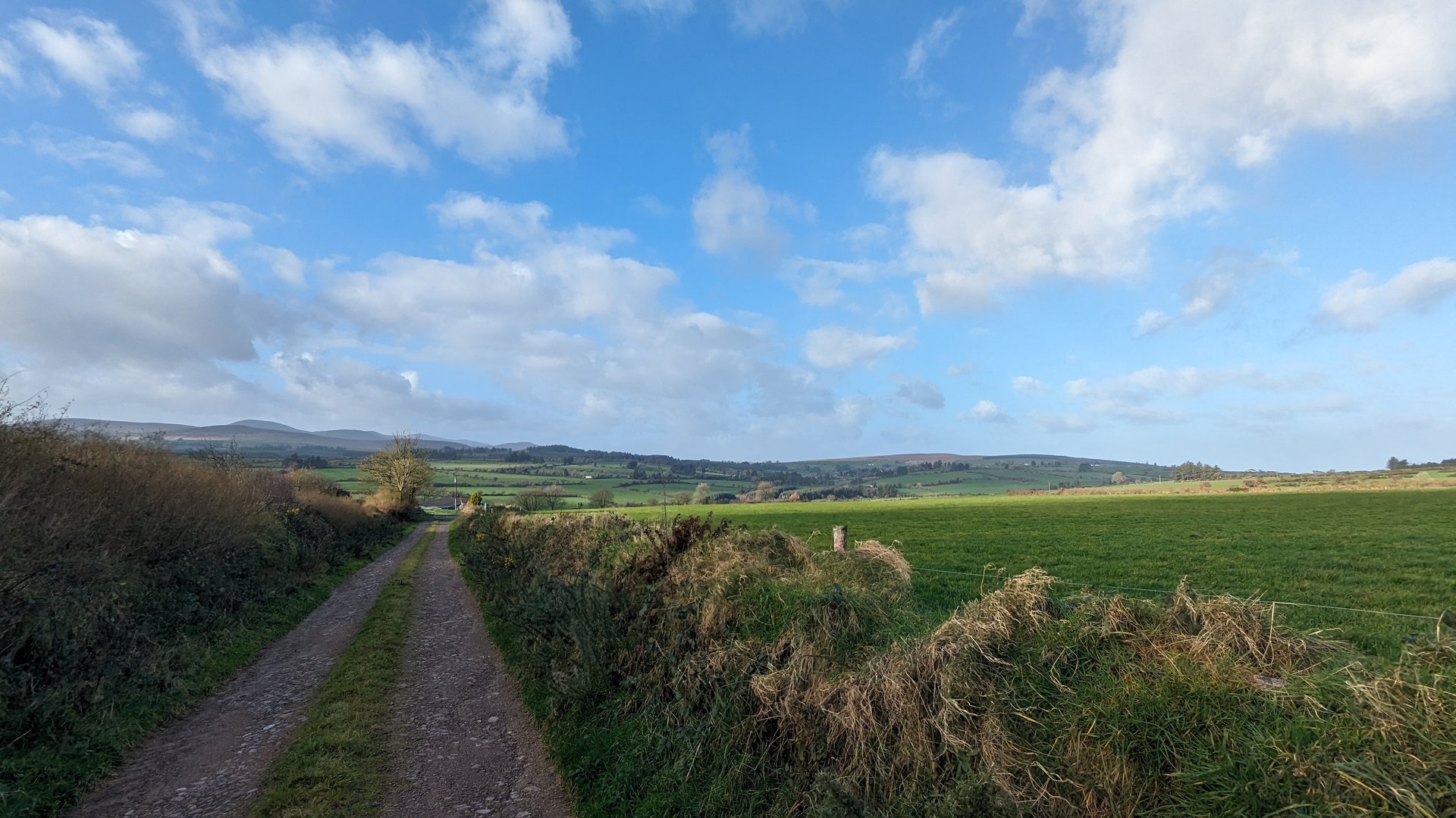
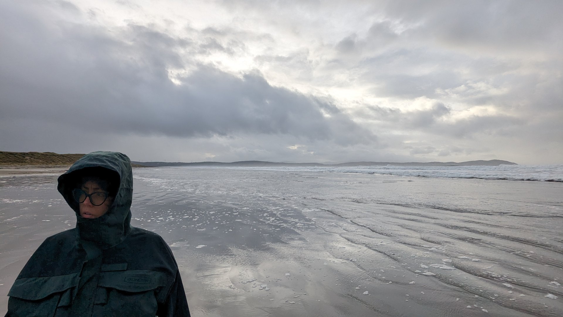
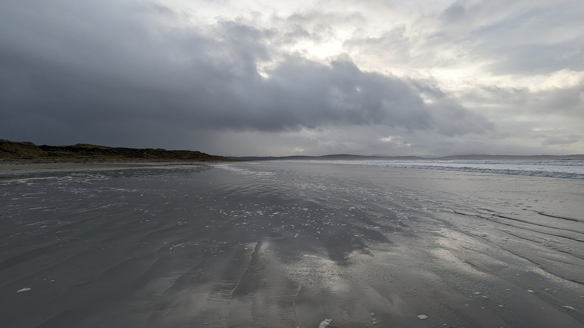
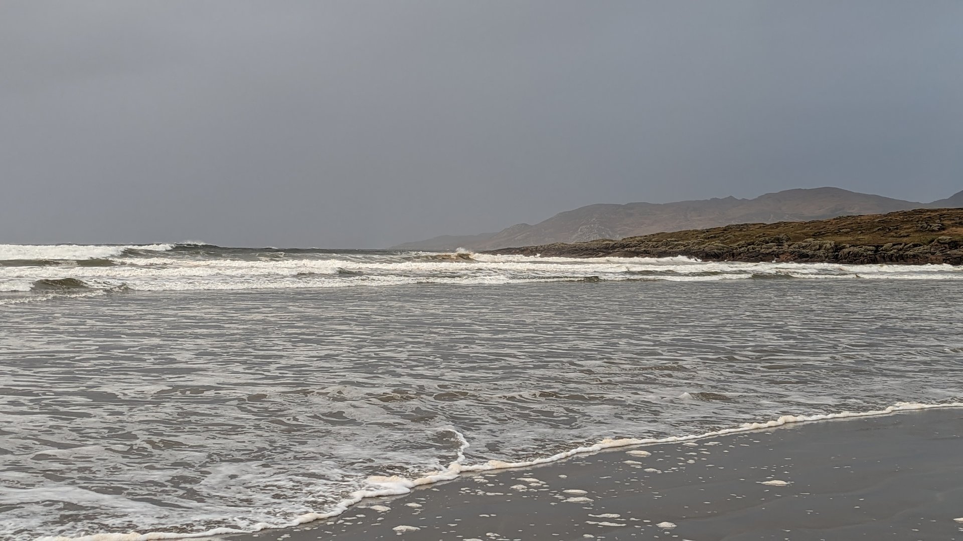
Late November into December: short days, bare trees, and Atlantic weather. This trip covered more of Ireland’s geographic spread than most, reaching from the southeast coast through the northern headlands and back down the Wild Atlantic Way.

Practical Notes

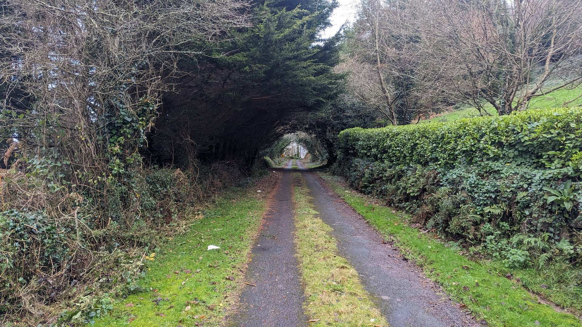
  • Driving: Left-hand traffic. Narrow rural roads, especially in Donegal and on the western peninsulas. Motorways between major cities.
  • Duration: 19 days, 4,011 km — averaging about 211 km per day.
  • Season: Late fall means short daylight hours, less tourist traffic, and dramatic weather. Rural pubs and restaurants in remote areas may have limited hours.
Day 1

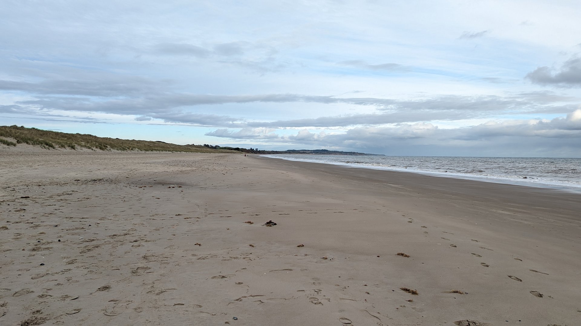
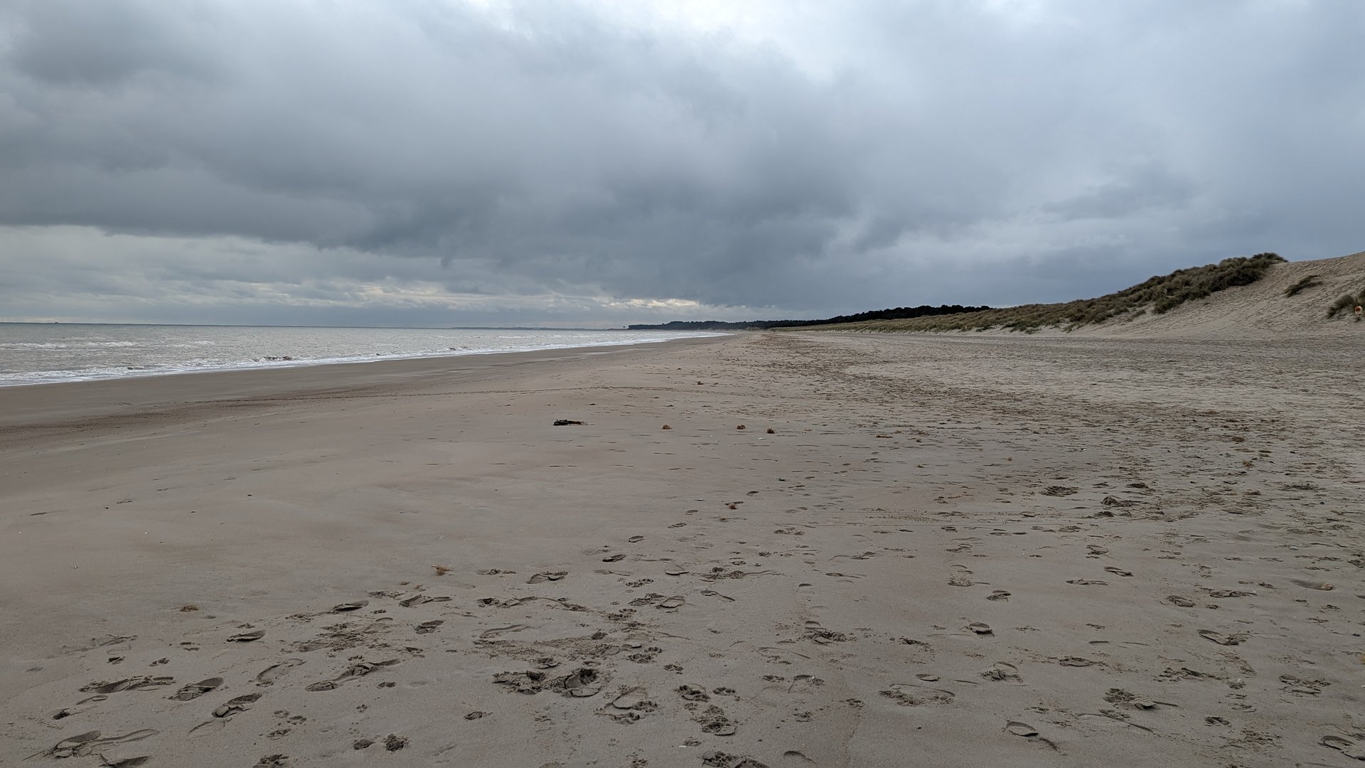
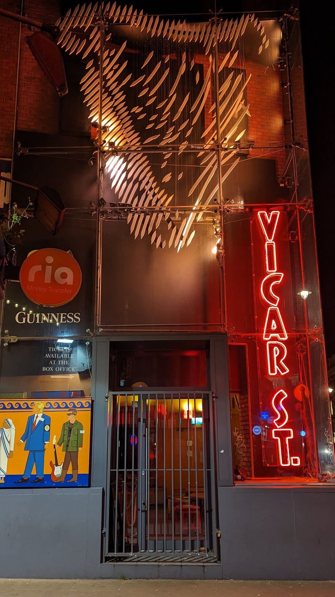
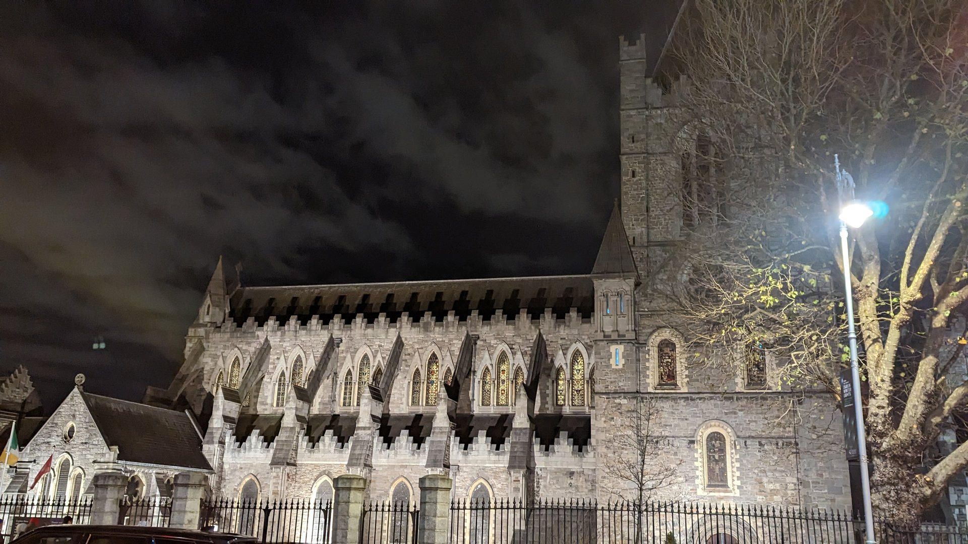
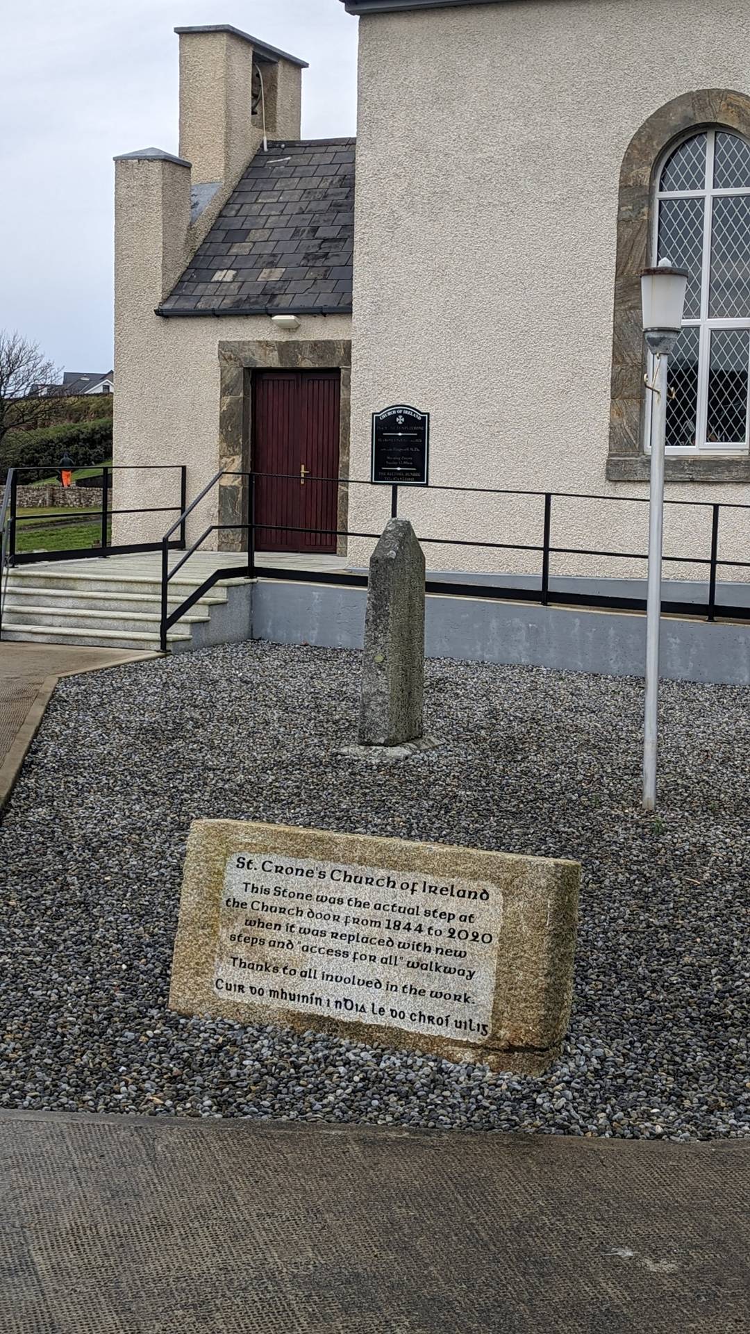
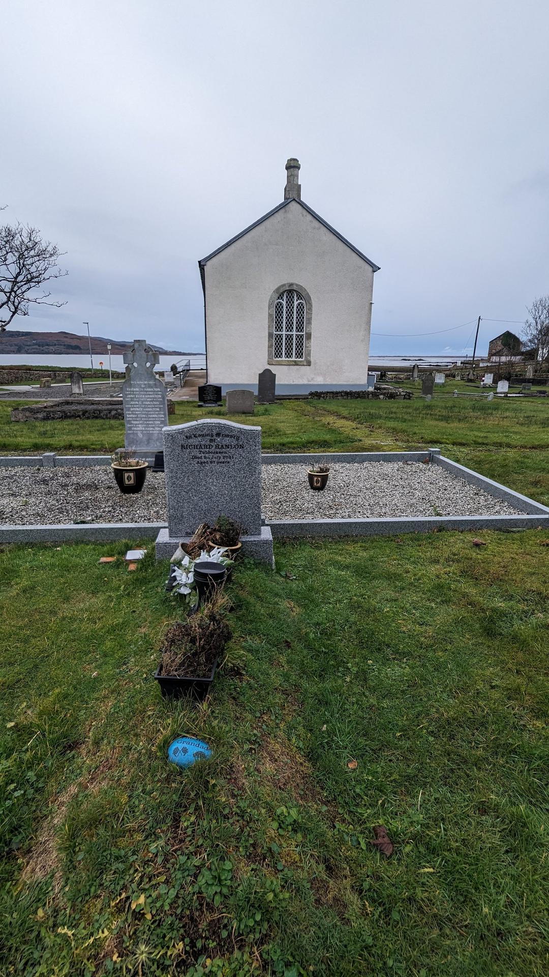
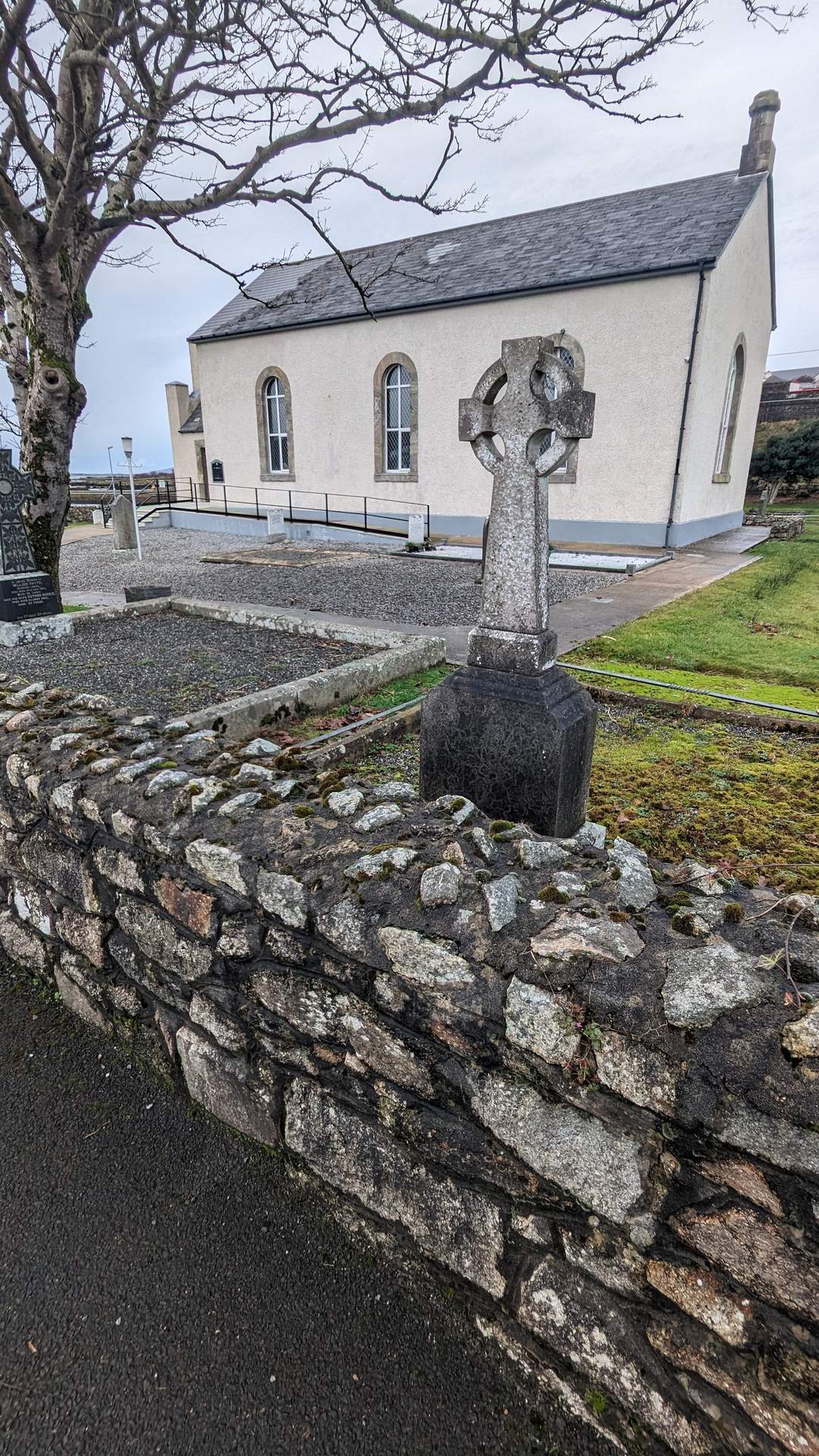
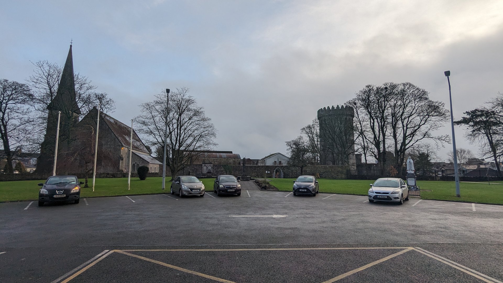
Wexford Coast: Ford to Dublin (112 km)

Wednesday, November 29, 2023

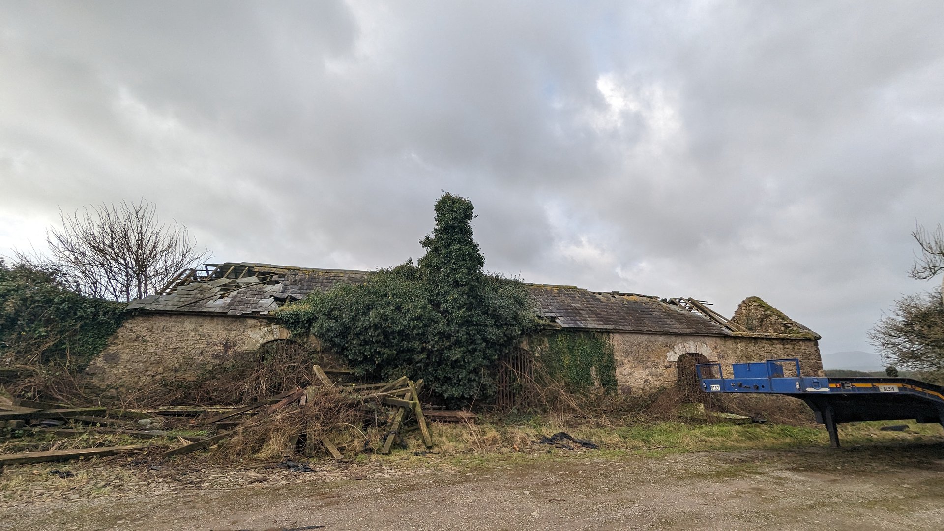
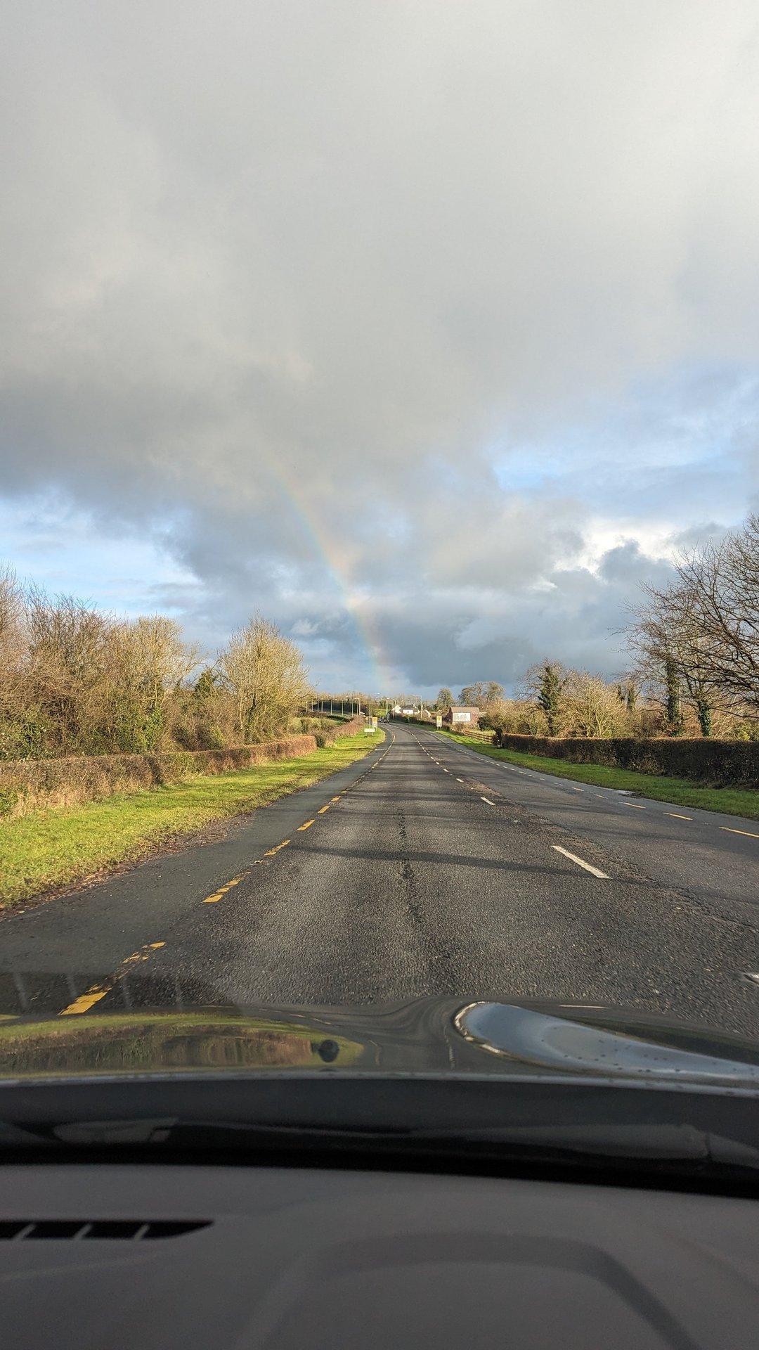
Starting from the Wexford area, this first day followed the southeast coast north through County Wicklow and into Dublin. The route passed through rolling Wexford farmland before climbing into the Wicklow hills, with over 1,100 meters of elevation gain across 112 km.

Show full route (20 stops)
Ford, County Wexford Wells, County Wexford Killenagh, County Wexford Ballycanew, County Wexford Courtown, County Wexford Ballynestragh, County Wexford Ballylarkin, County Wexford Ennereilly, County Wicklow Dunganstown South, County Wicklow Glenealy, County Wicklow Killiskey, County Wicklow Newcastle Lower, County Wicklow Newcastle Upper, County Wicklow Kilmacanoge, County Wicklow Shankill, County Dublin Cornelscourt, County Dublin Pembroke East D Ward 1986, County Dublin Forest & Marcy Wood Quay A, County Dublin Leonardo Hotel Dublin Christchurch
📊 Day Statistics 112km • 360 photos
Distance 111.9 km
Duration 4.7 hrs
Elevation Gain 1146 m
Photos 10

🗺️ Route Map

Day 2

North to Donegal: Meath to Malin (231 km)

Thursday, November 30, 2023

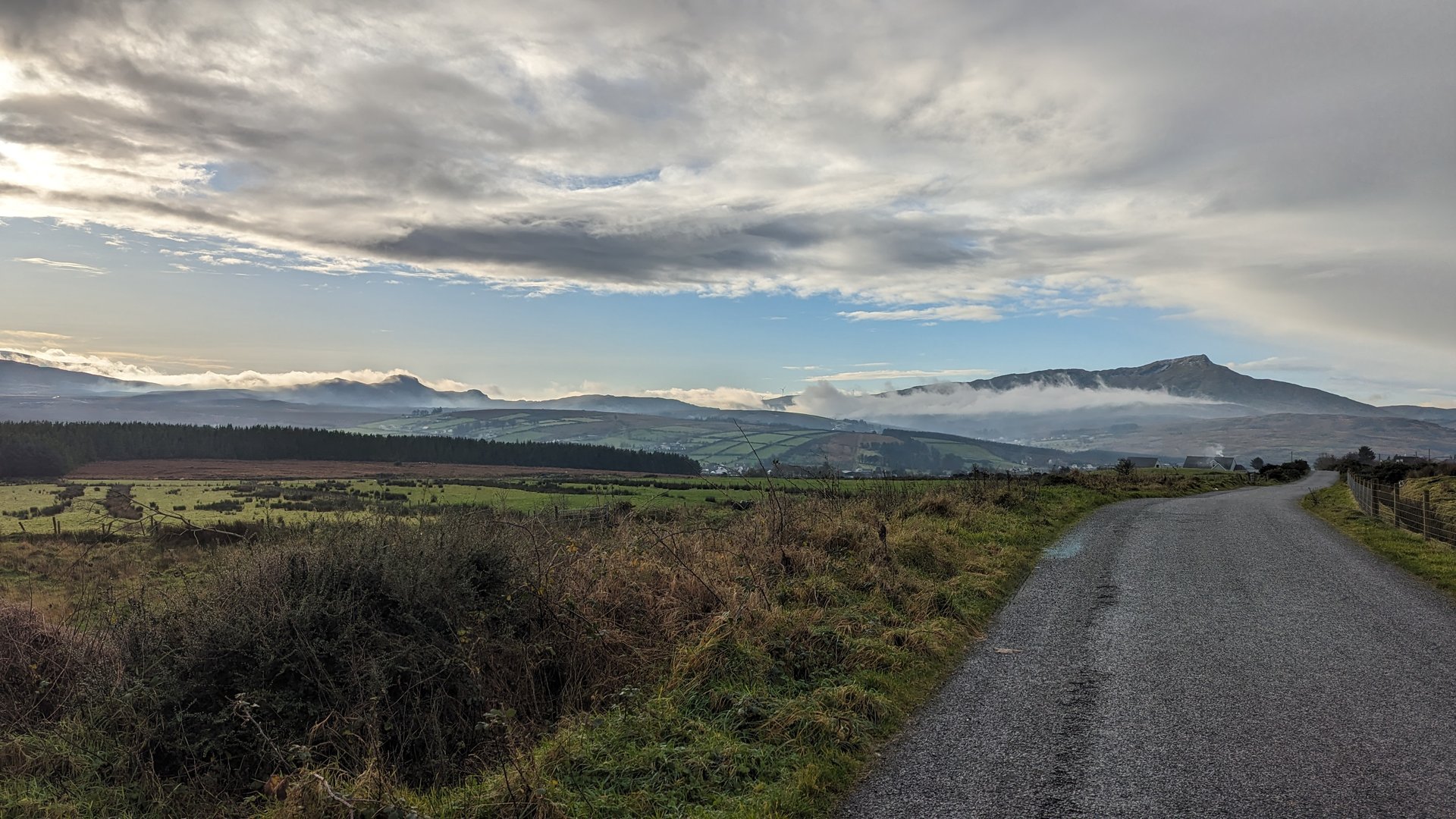
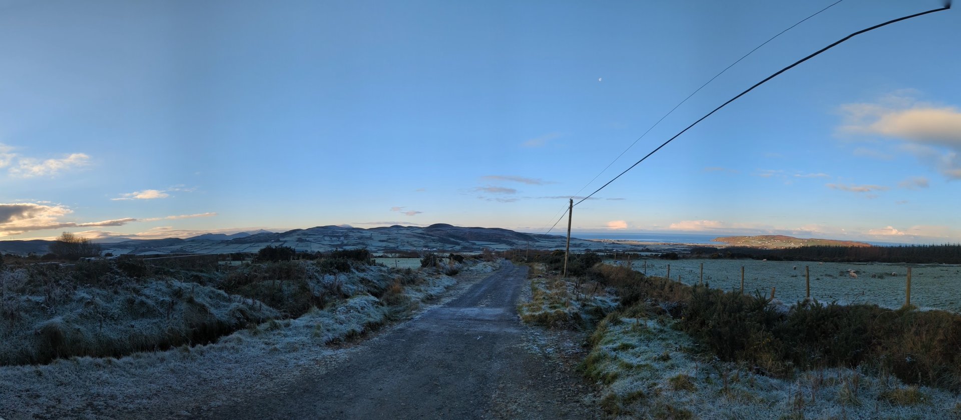
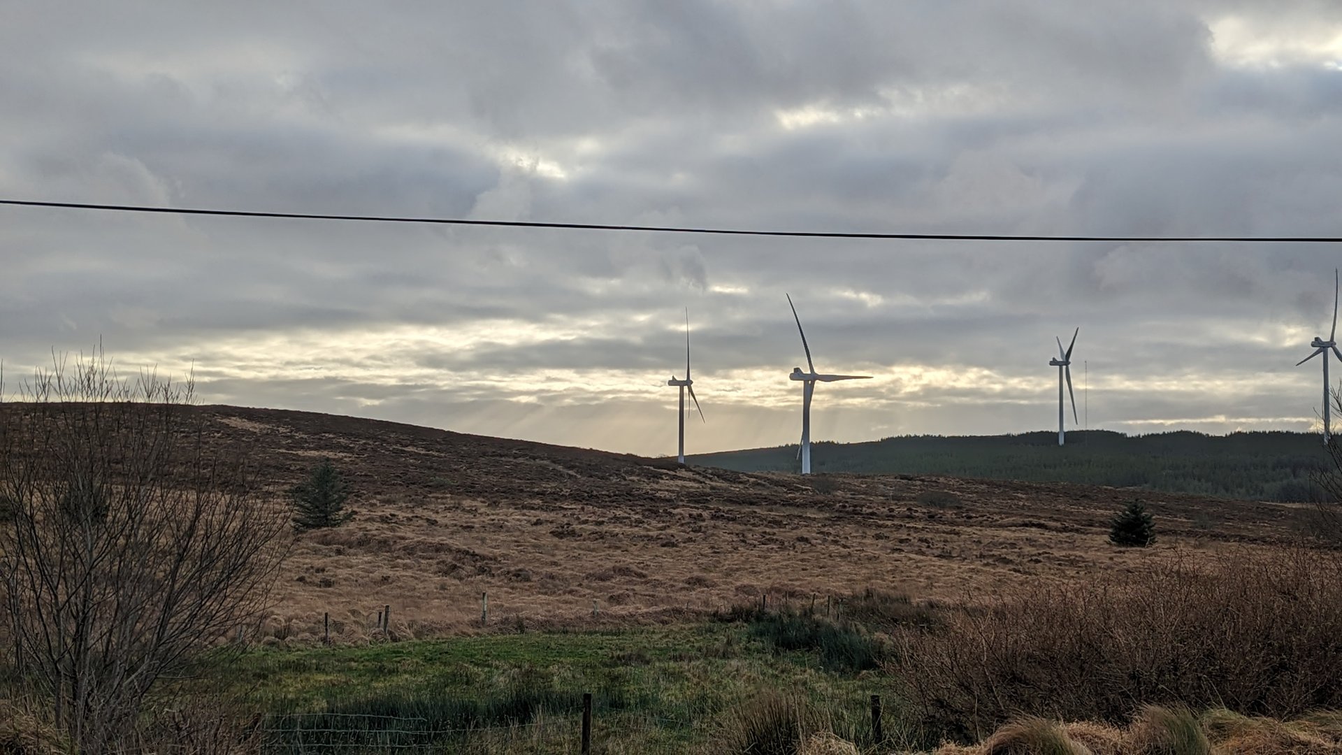
A long push north from County Meath through Monaghan, crossing into Northern Ireland via Tyrone and Derry before reaching Malin in Donegal. The route traversed the drumlin belt of the border counties and climbed over 2,100 meters across 231 km to reach the Inishowen Peninsula.

Show full route (33 stops)
Grangegeeth, County Meath Collon, County Louth Drumboory, County Monaghan Kilmurry, County Monaghan Broomfield, County Monaghan Carrickaslane, County Monaghan Clontibret, County Monaghan Castleshane, County Monaghan Monaghan, County Monaghan Enagh, County Monaghan Emyvale, County Monaghan Anketell Grove, County Monaghan Aughnacloy, County Tyrone Ballygawley, County Tyrone Omagh Newtownstewart Newtownstewart, County Tyrone Victoria Bridge, County Tyrone Sion Mills, County Tyrone Lisnafin, County Tyrone Ballymagorry, County Tyrone Bready, County Tyrone Prehen, County Londonderry Waterside, County Londonderry Caw, County Londonderry Steelstown, County Londonderry Kilderry, County Donegal Three Trees, County Donegal Whitecastle, County Donegal Glentogher, County Donegal Carndonagh, County Donegal Malin, County Donegal Ardmalin, County Donegal
📊 Day Statistics 231km • 360 photos
Distance 231.2 km
Duration 5.6 hrs
Elevation Gain 2175 m
Photos 2

🗺️ Route Map

Day 3

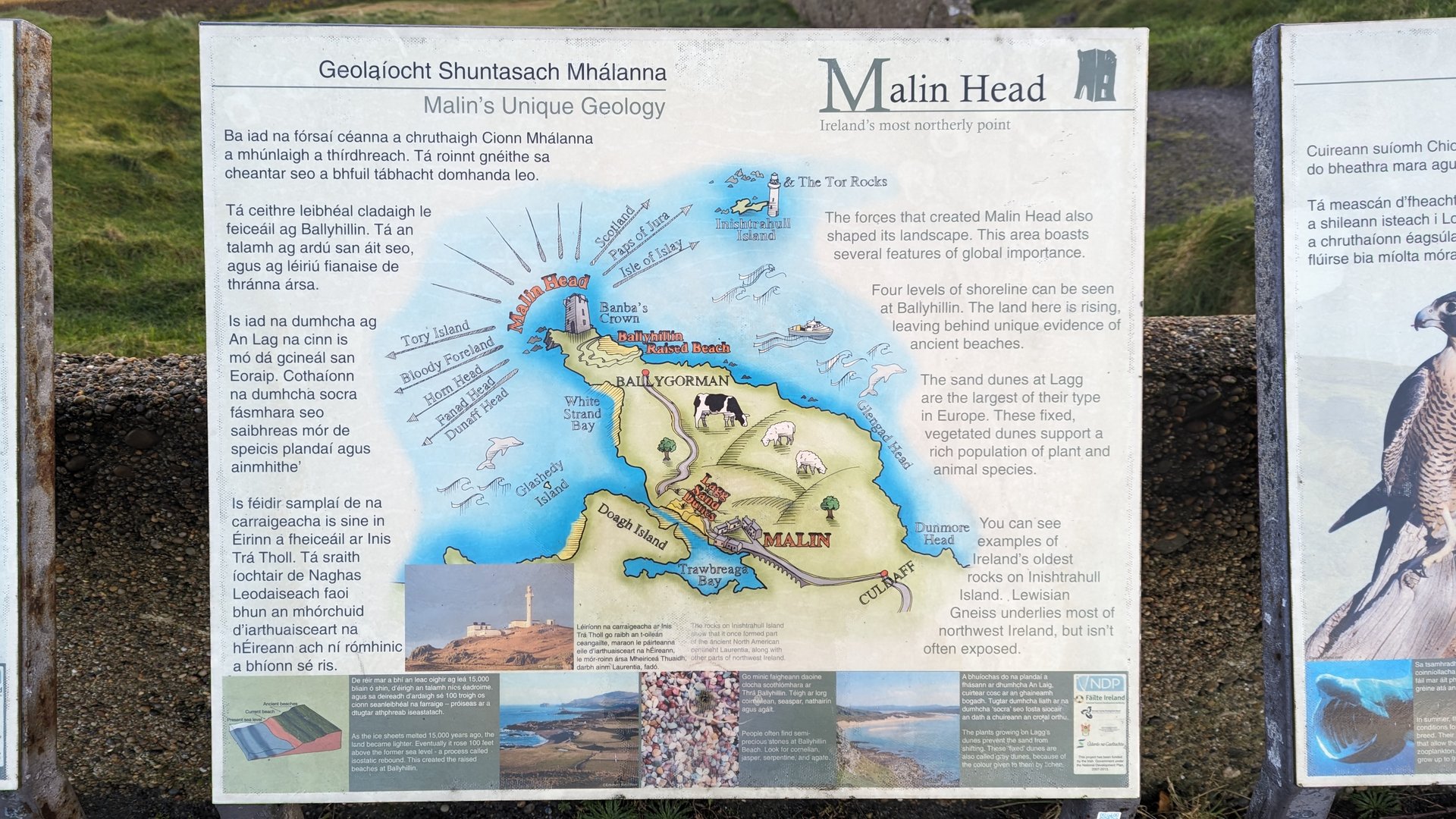
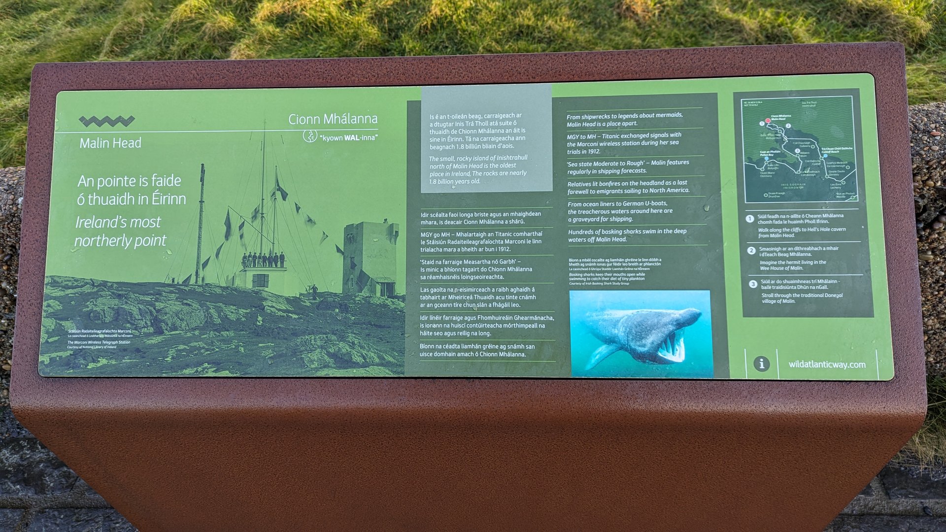
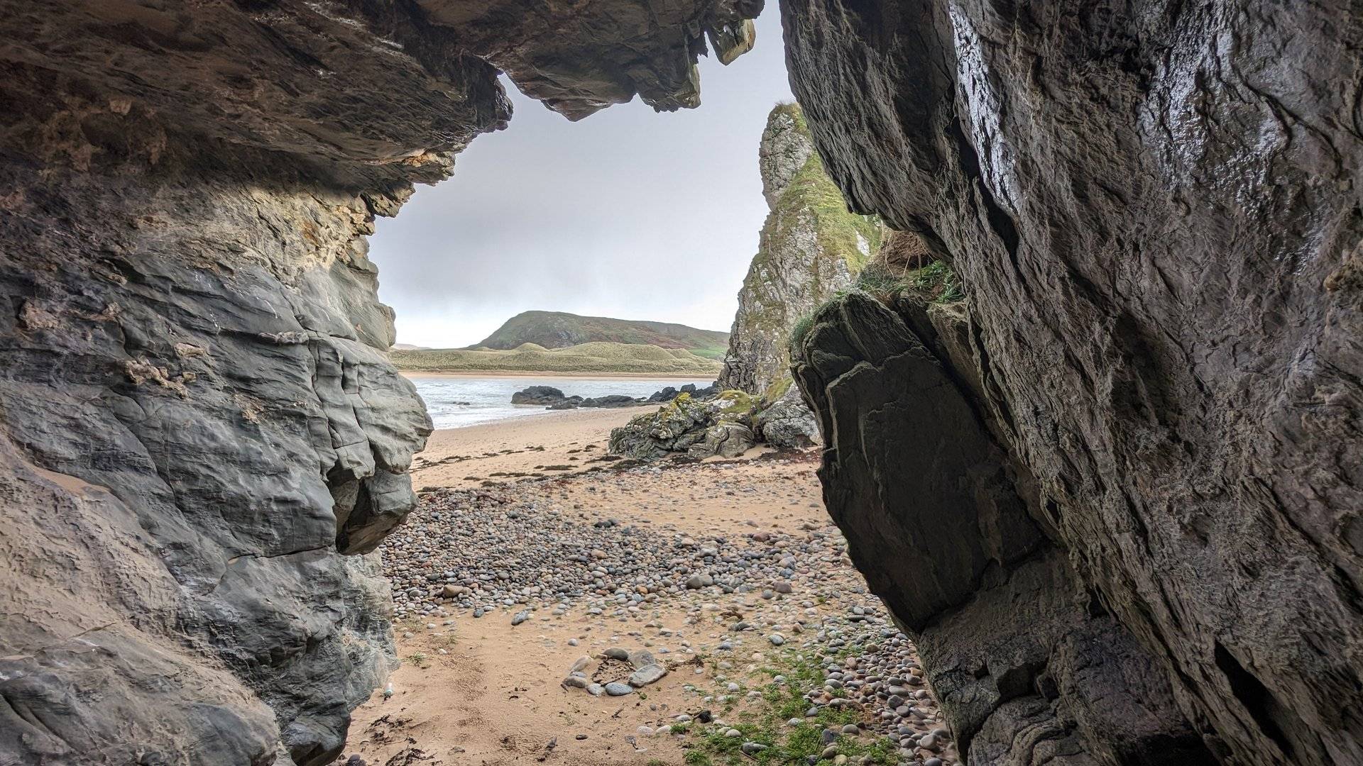
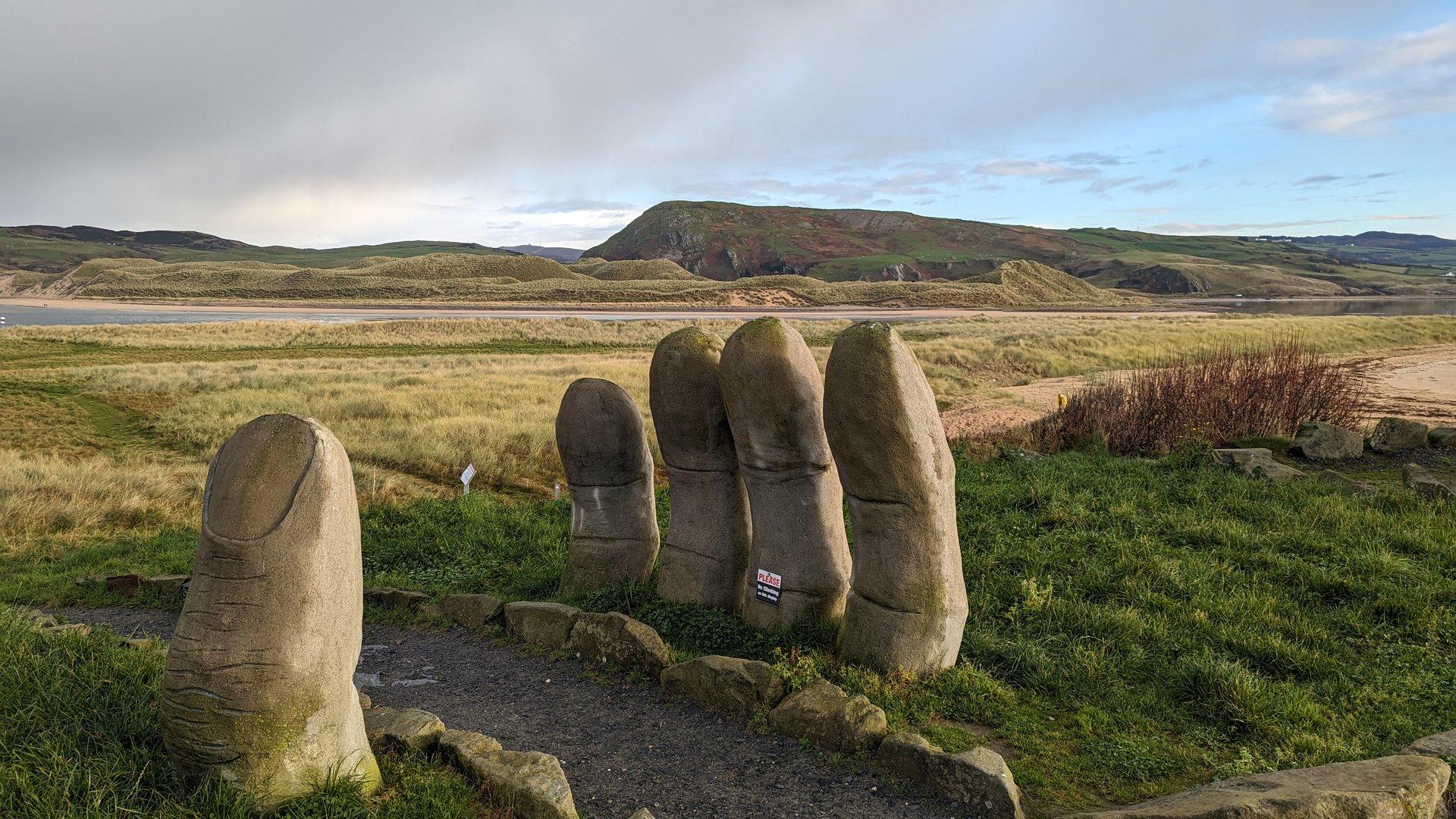
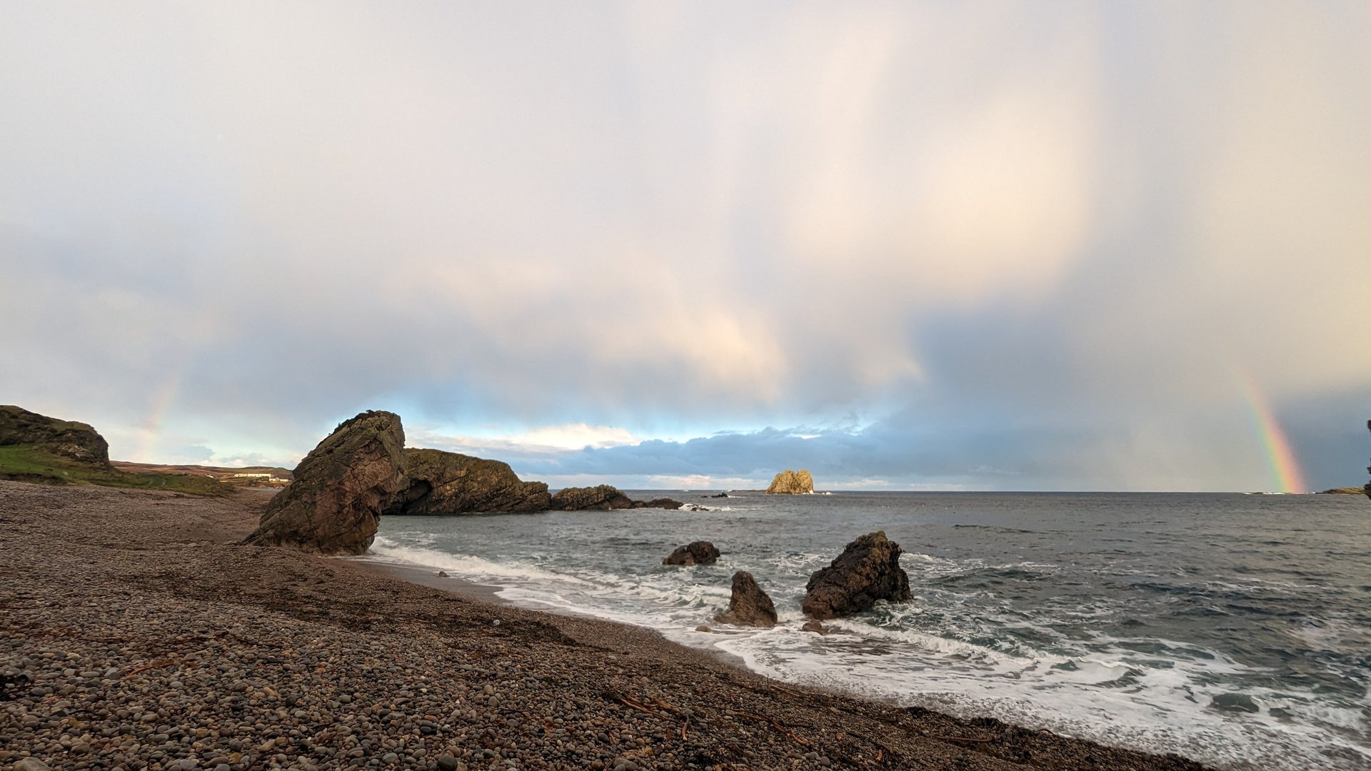
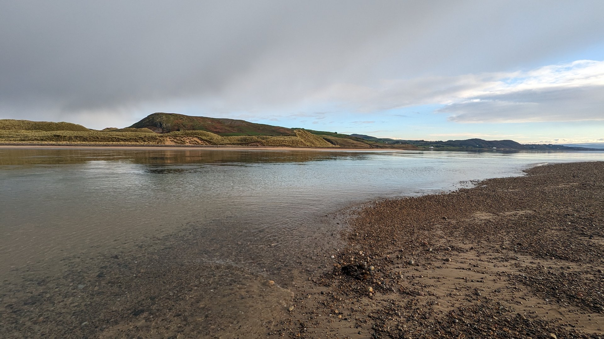
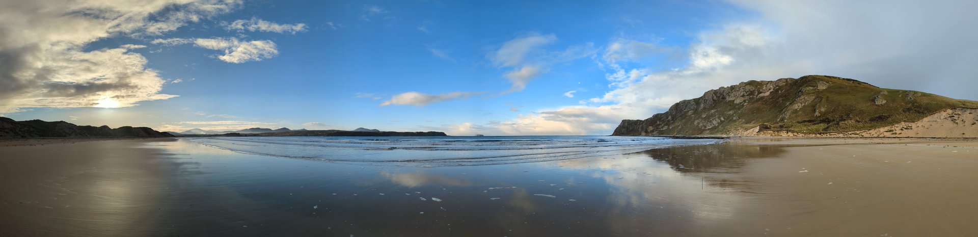
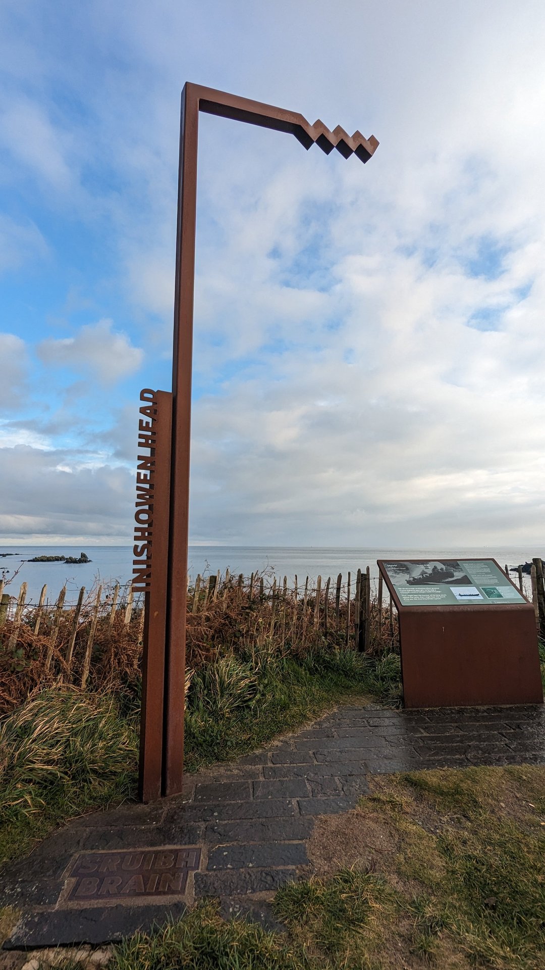
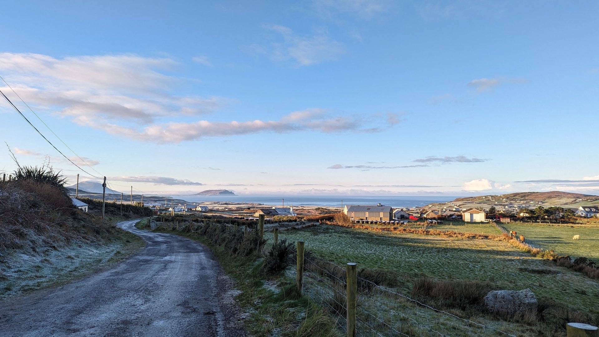
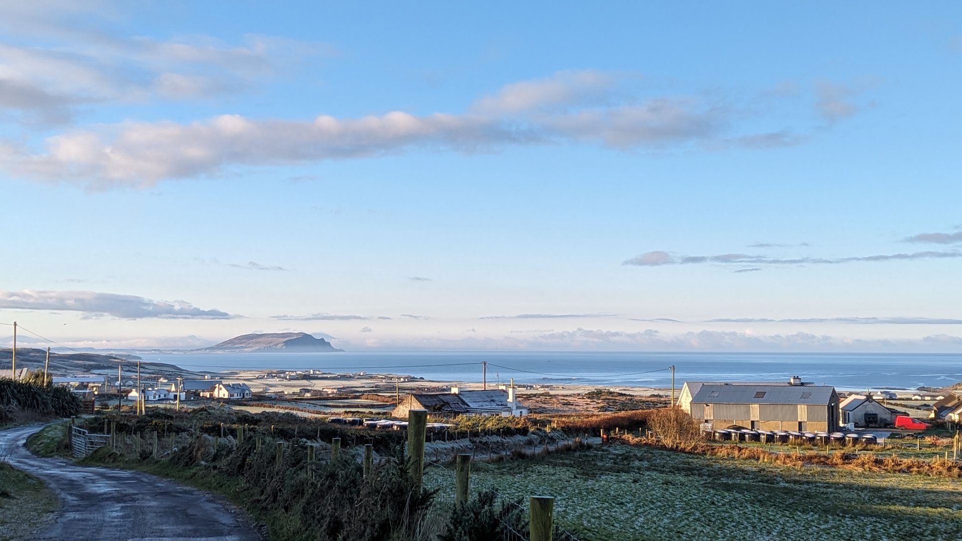
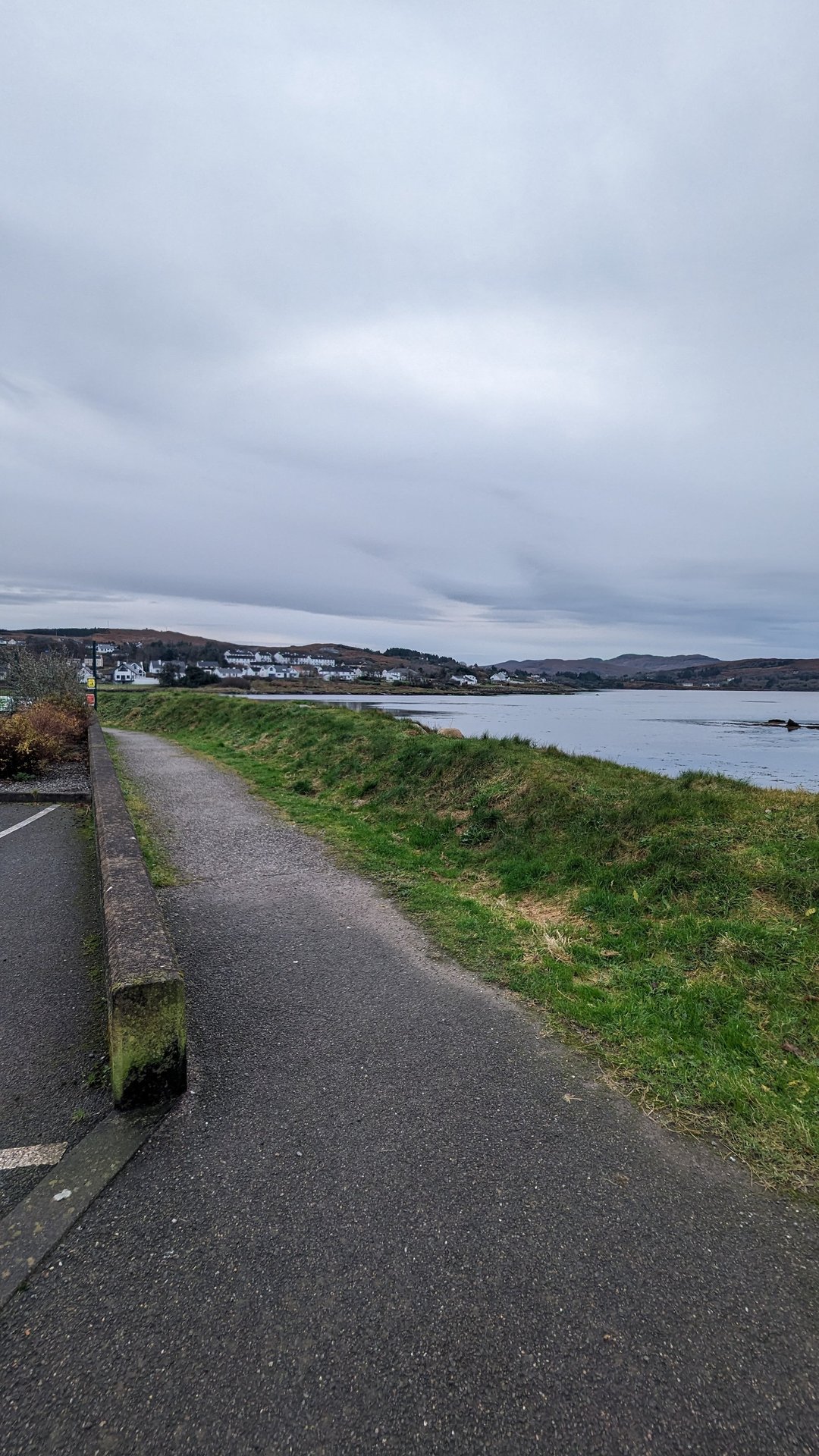
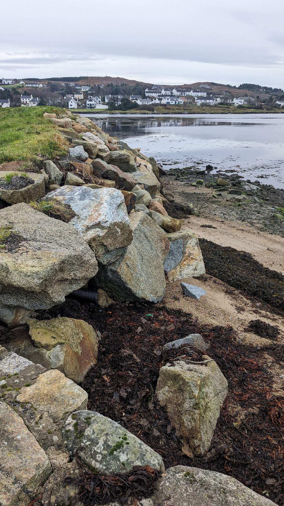
Inishowen: Malin to Culdaff (75 km)

Friday, December 1, 2023

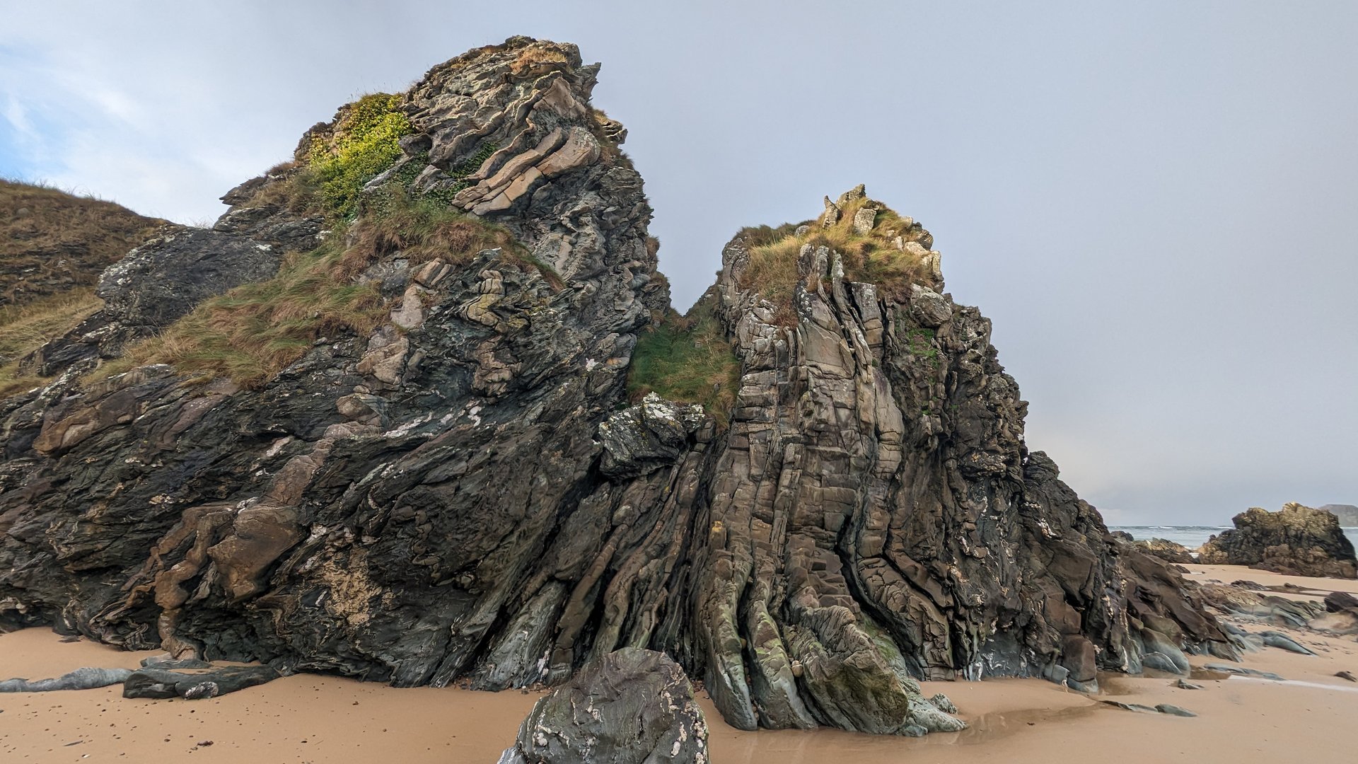
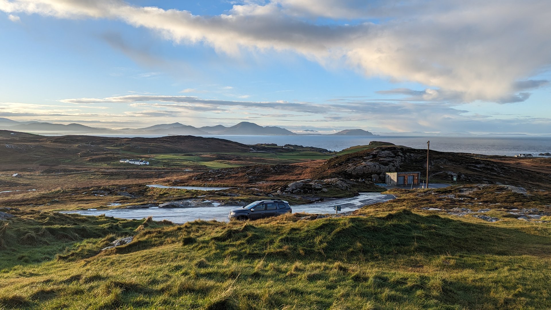
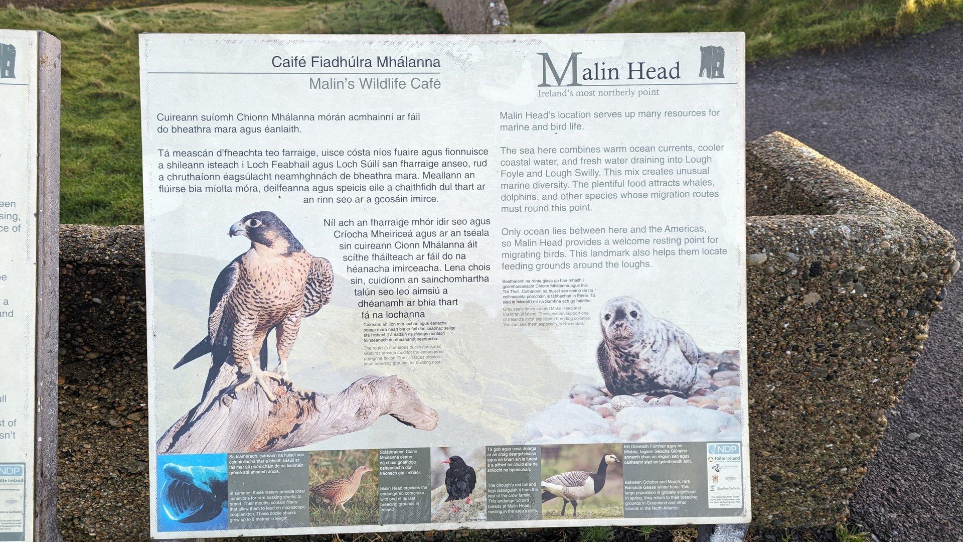
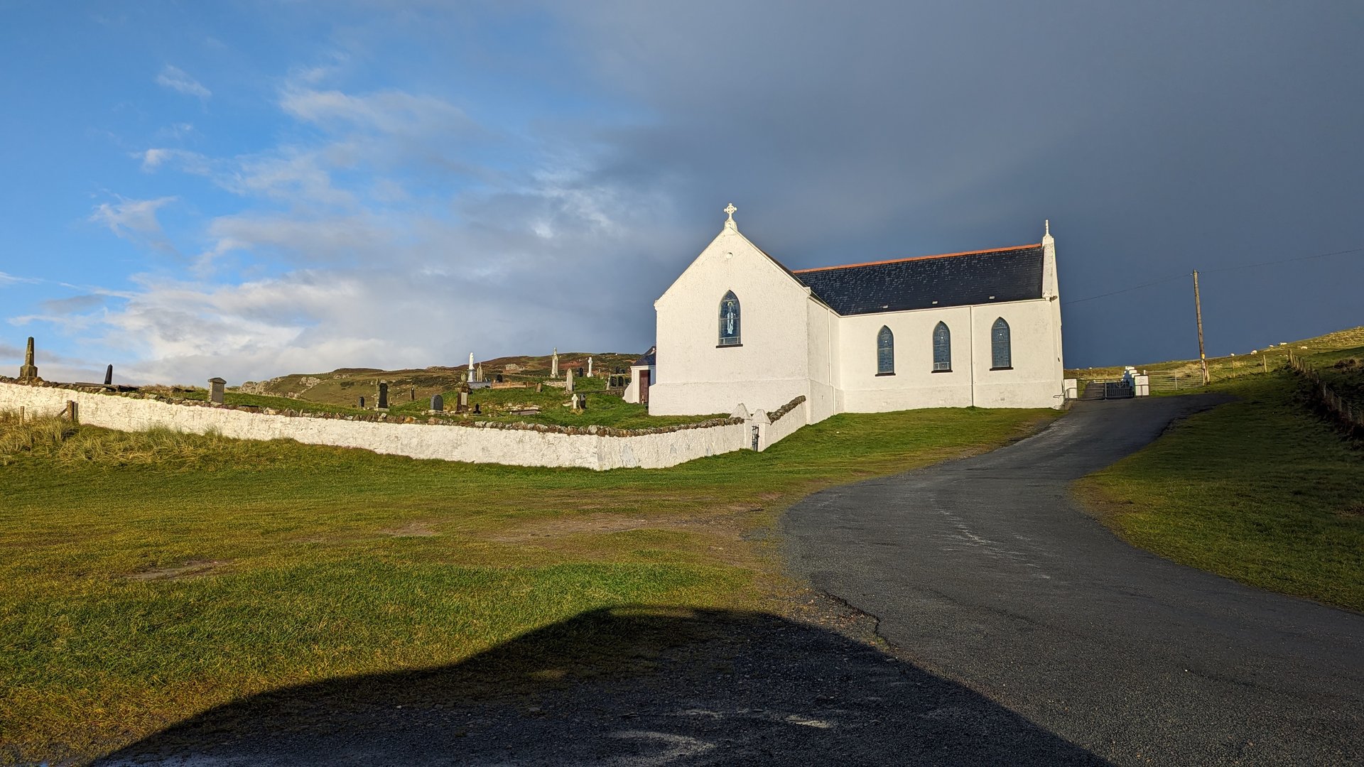
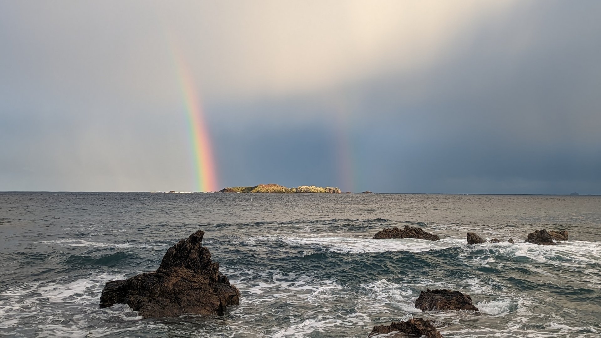
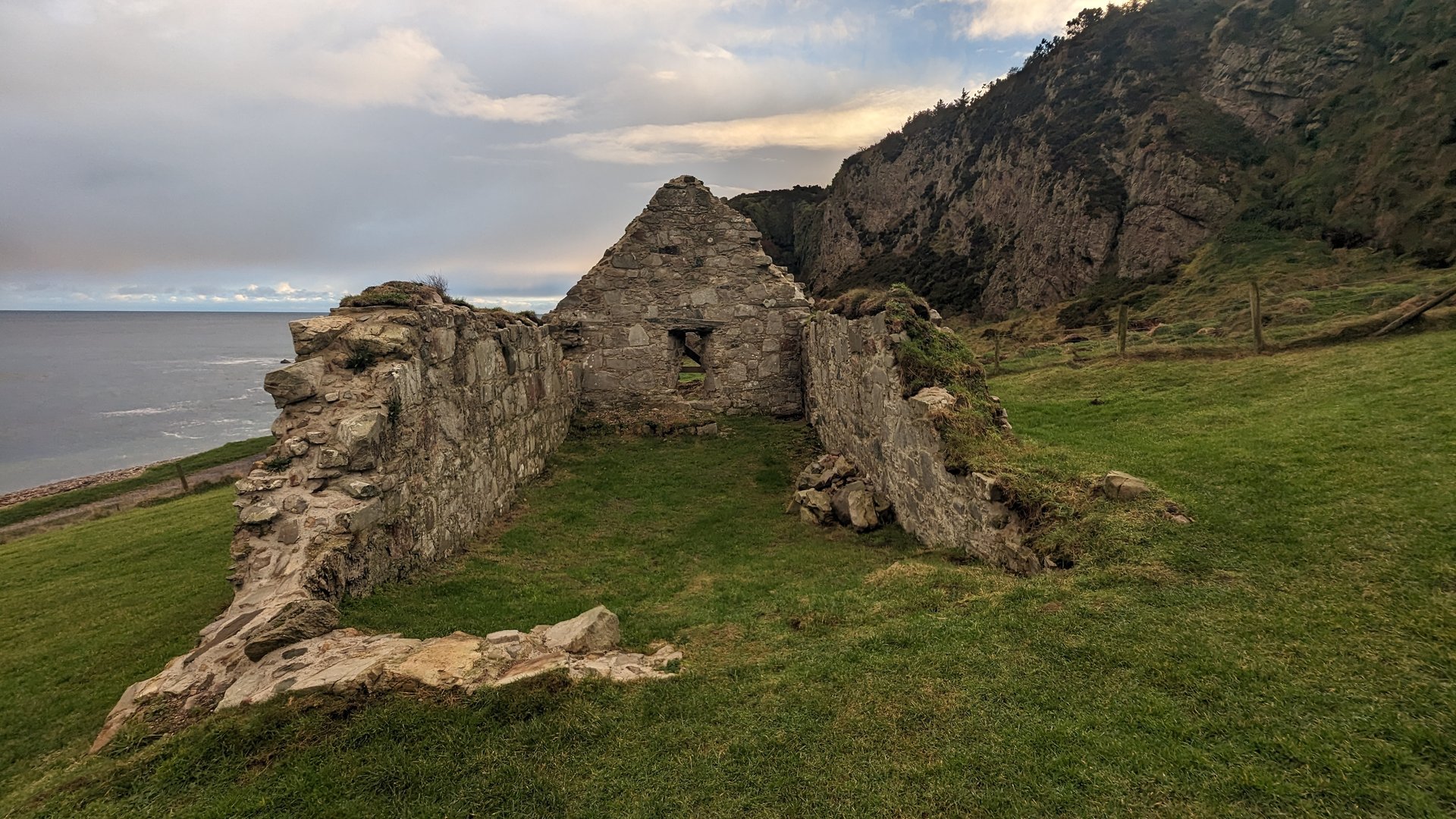
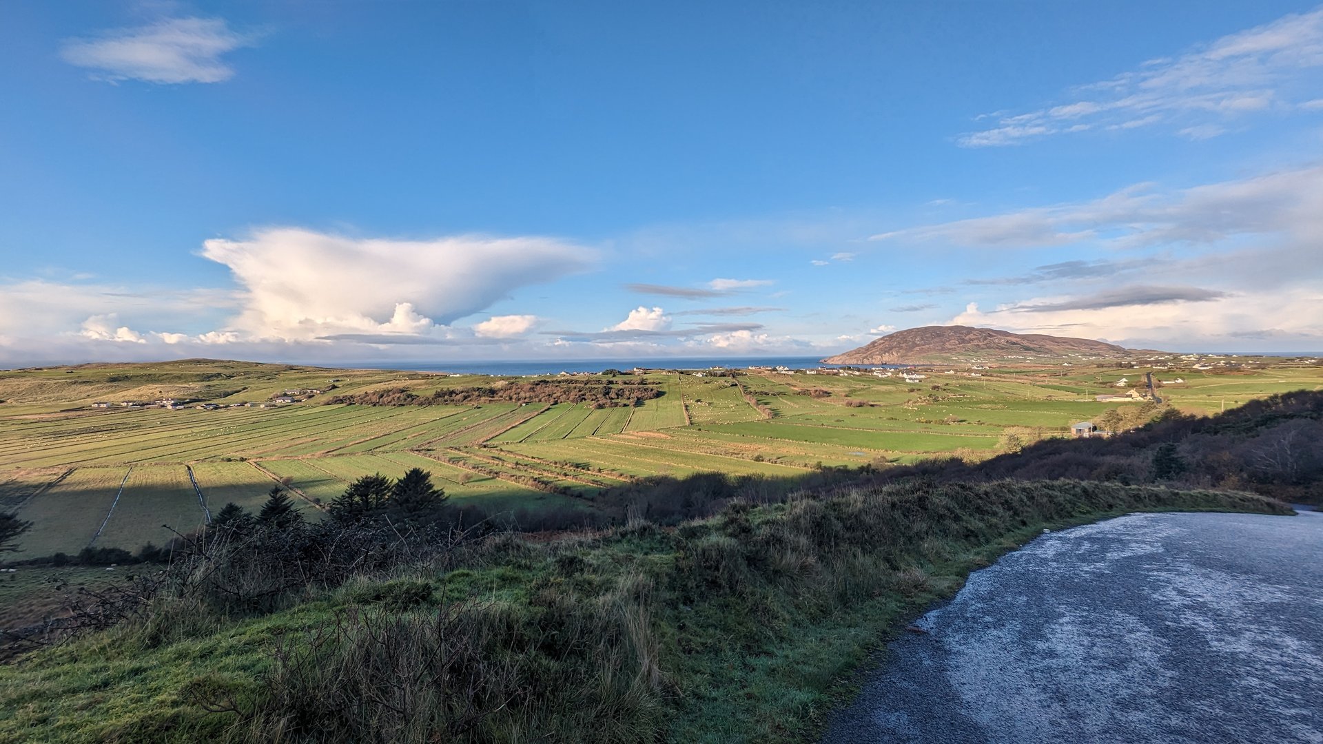
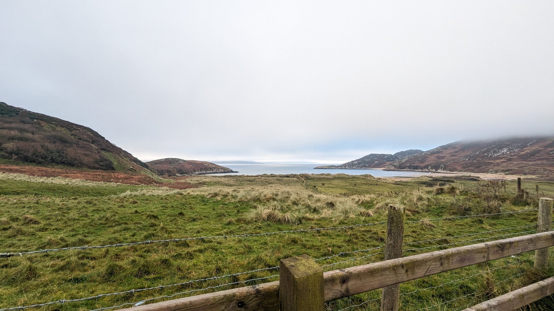
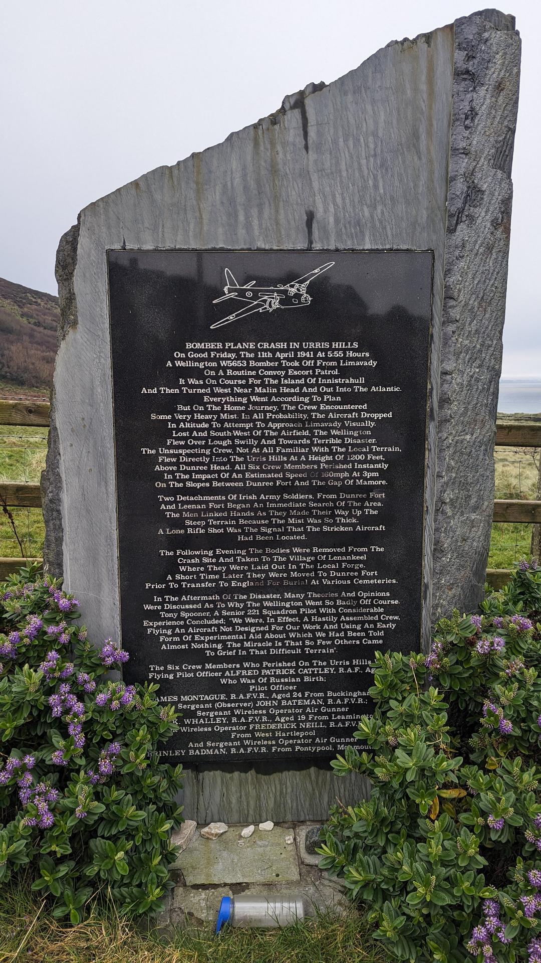
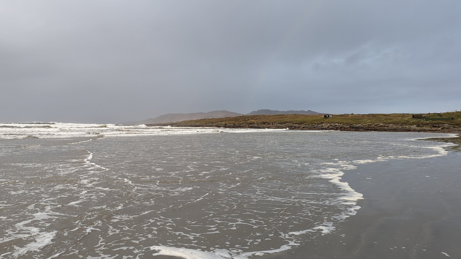
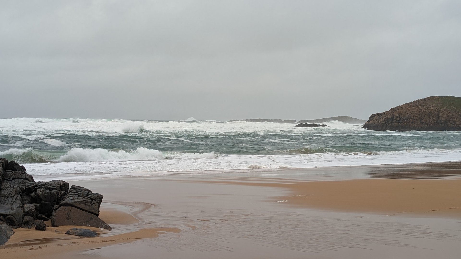
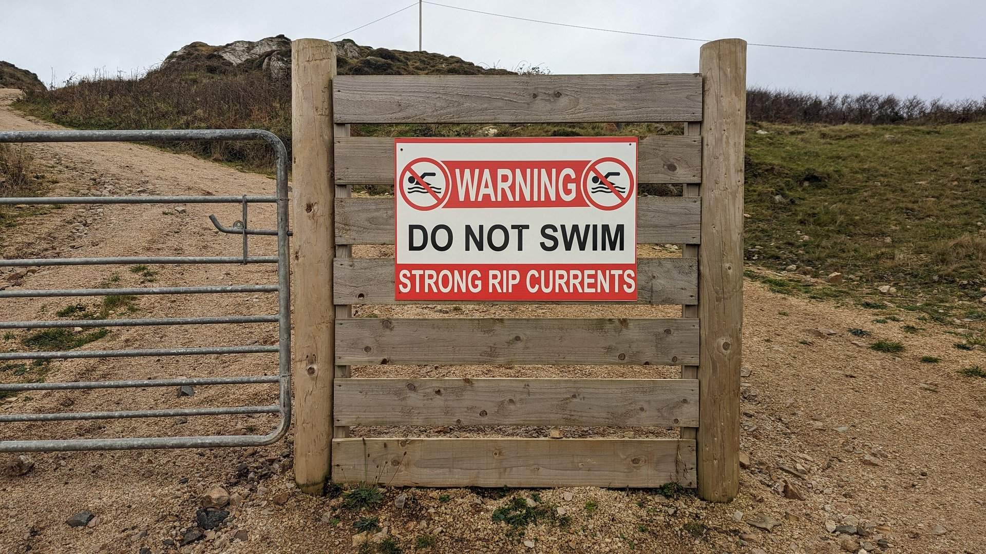
A short day exploring the northern tip of the Inishowen Peninsula around Malin, Culdaff, and Ballyliffin. At 75 km with nearly 1,200 meters of climbing, the route stayed on the narrow coastal roads of Ireland's northernmost headland.

Show full route (6 stops)
Ardmalin, County Donegal Malin, County Donegal Culdaff, County Donegal Carndonagh, County Donegal Ballyliffin, County Donegal Straid, County Donegal
📊 Day Statistics 75km • 360 photos
Distance 74.8 km
Duration 3.8 hrs
Elevation Gain 1189 m
Photos 54

🗺️ Route Map

Day 4

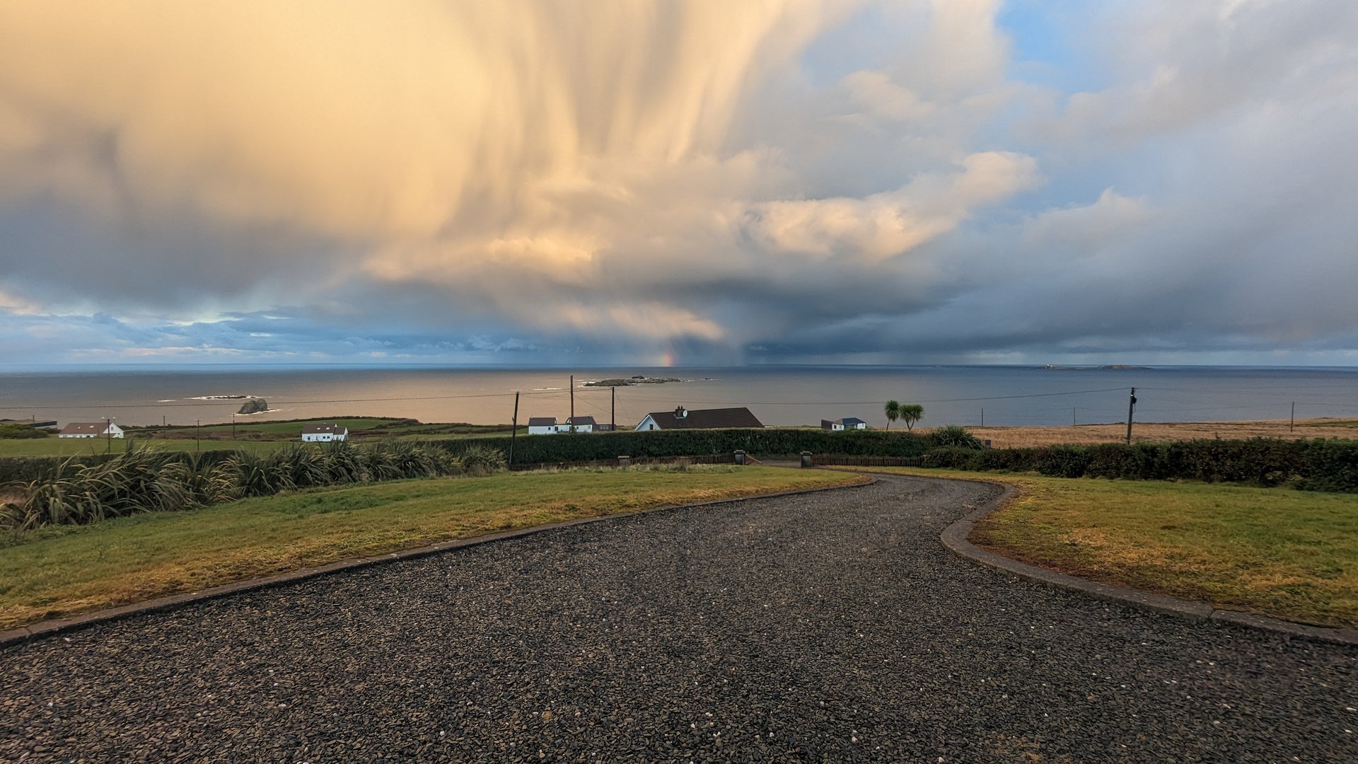
Inishowen Loop: Malin to Moville (182 km)

Saturday, December 2, 2023

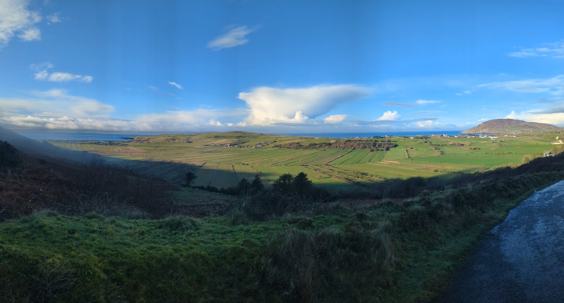
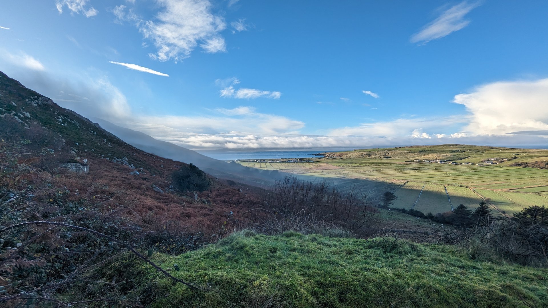
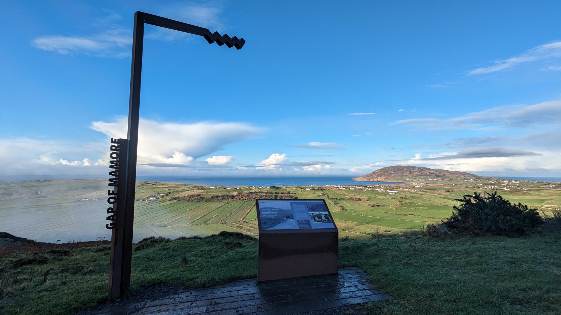
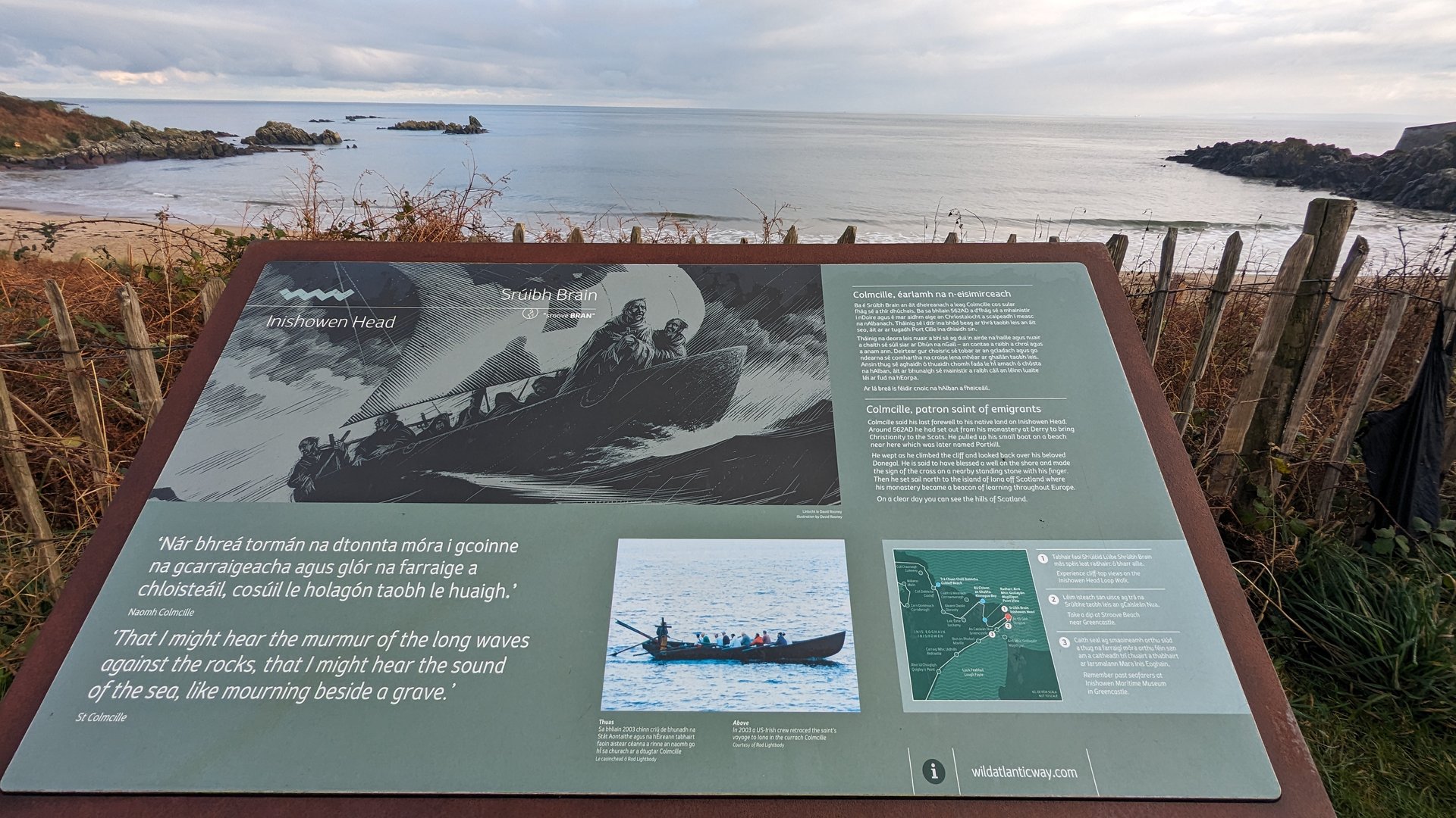
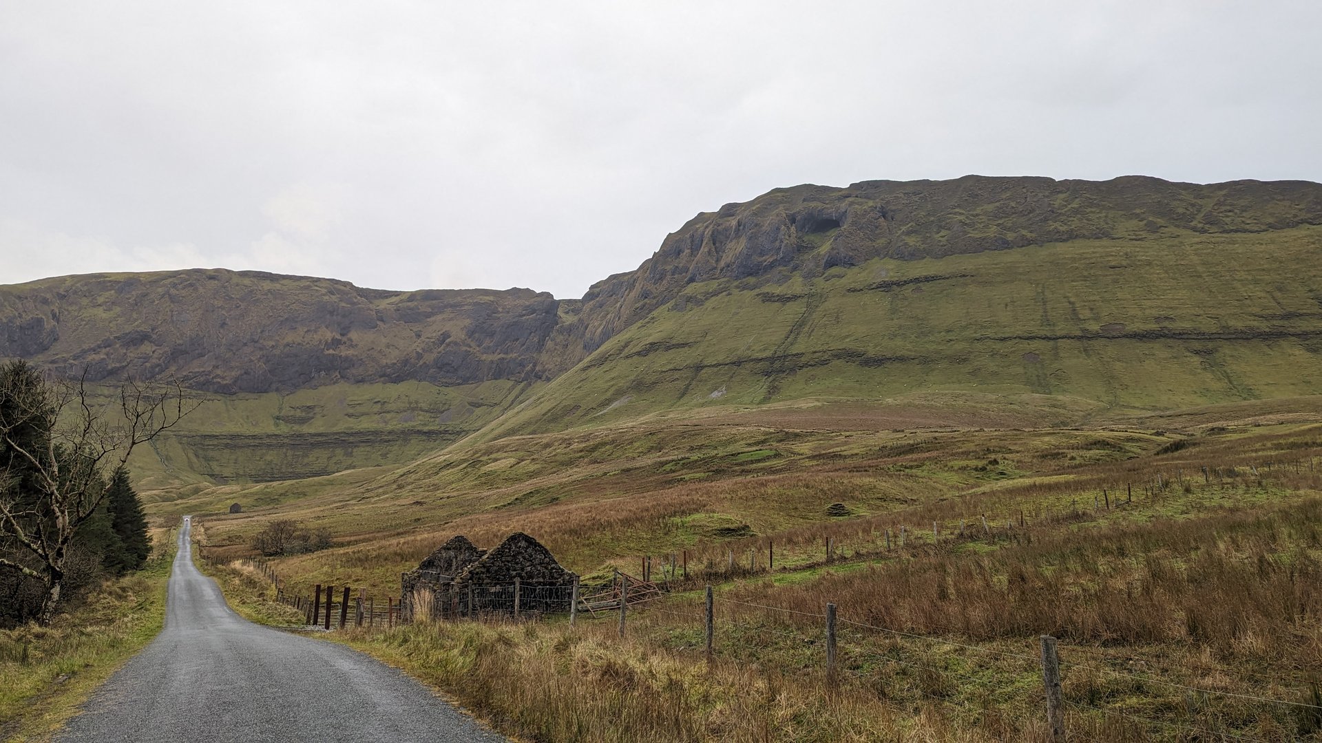
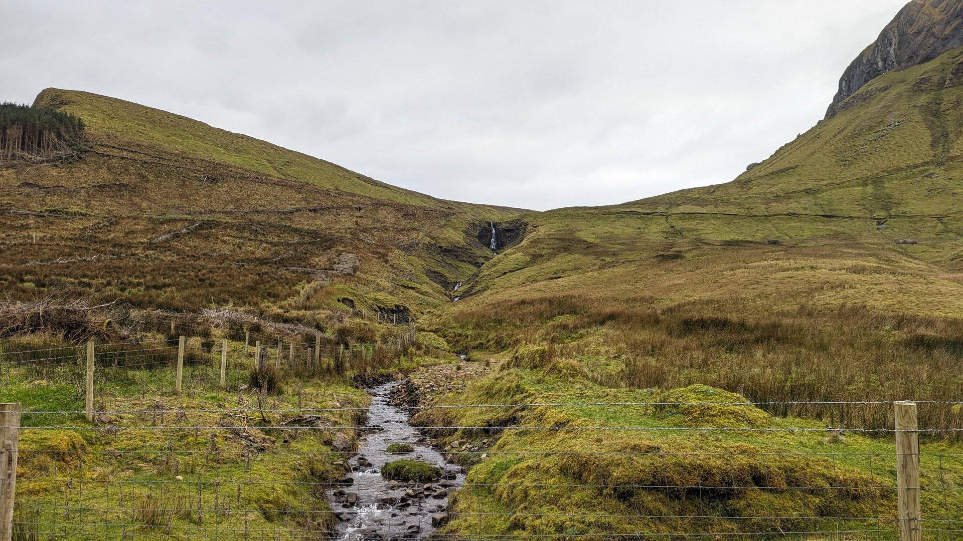
The full Inishowen circuit from Malin around through Dunaff, Fahan, and Burt before looping back north via Greencastle and Stroove to finish in Moville. Over 3,100 meters of elevation gain across 182 km on one of Donegal's most rugged peninsulas.

Show full route (20 stops)
Ardmalin, County Donegal Malin, County Donegal Culdaff, County Donegal Carndonagh, County Donegal Ballyliffin, County Donegal Straid, County Donegal Dunaff, County Donegal Desertegny, County Donegal Fahan, County Donegal Burt, County Donegal Birdstown, County Donegal Kilderry, County Donegal Three Trees, County Donegal Whitecastle, County Donegal Glentogher, County Donegal Carthage, County Donegal Turmone, County Donegal Greencastle, County Donegal Stroove, County Donegal Moville, County Donegal
📊 Day Statistics 182km • 360 photos
Distance 181.6 km
Duration 6.9 hrs
Elevation Gain 3151 m
Photos 12

🗺️ Route Map

Day 5

Donegal to Clare: Cross-Country (420 km)

Sunday, December 3, 2023

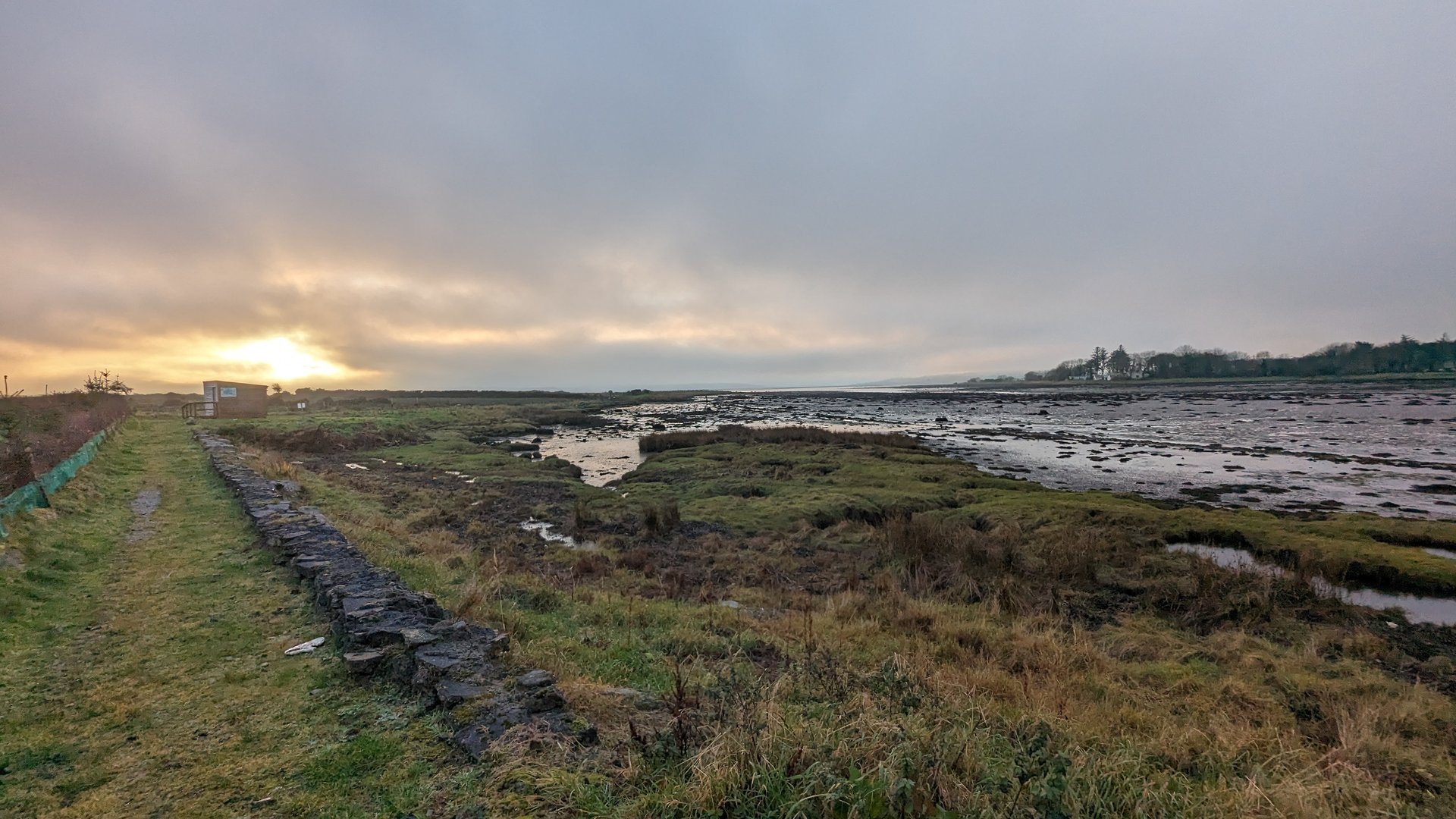
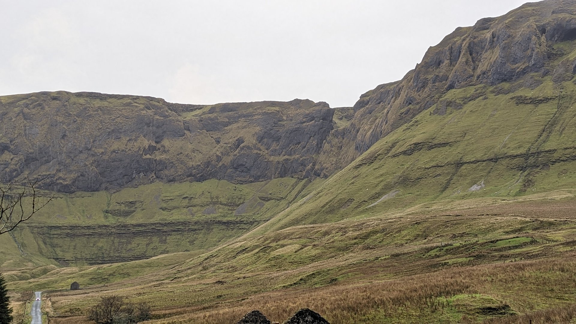
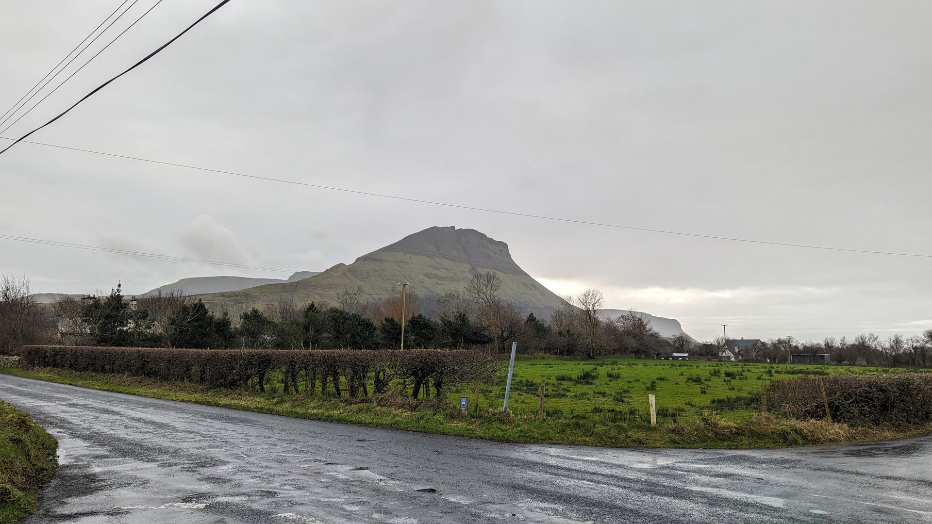
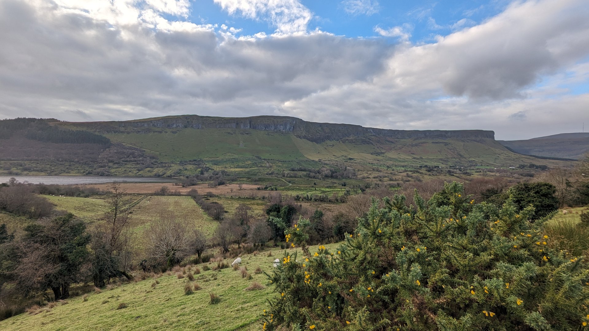
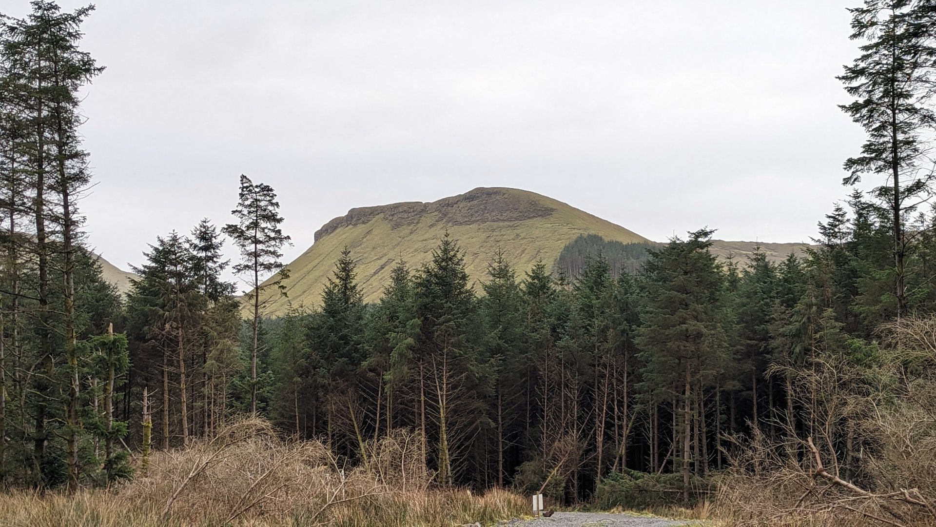
A major cross-country transit from Inishowen south through Sligo and across the midlands to County Clare. The 420 km route passed through seven counties, skirting the Sligo coast at Drumcliff before turning inland through Galway and ending near Newmarket in Clare.

Show full route (56 stops)
Ardmalin, County Donegal Carthage, County Donegal Culdaff, County Donegal Gleneely, County Donegal Castlecary, County Donegal Moville, County Donegal Greencastle, County Donegal Stroove, County Donegal Redcastle, County Donegal Whitecastle, County Donegal Kilderry, County Donegal Birdstown, County Donegal Burt, County Donegal Castleforward, County Donegal Manorcunningham, County Donegal Magheraboy, County Donegal Dooballagh, County Donegal Treantaboy, County Donegal Stranorlar, County Donegal Dooish, County Donegal Clogher, County Donegal Tullynaught, County Donegal Laghy, County Donegal Ballintra, County Donegal Tullaghan, County Leitrim Cliffoney, County Sligo Lissadill North, County Sligo Rossinver West, County Sligo Drumcliff West, County Sligo Sligo West, County Sligo Kilmacowen, County Sligo Collooney, County Sligo Annagh, County Sligo Temple, County Sligo Streamstown, County Sligo Leitrim, County Sligo Tobercurry, County Sligo Achonry West, County Sligo Kilbeagh, County Mayo Ballindine, County Mayo Milltown, County Galway Killeen, County Galway Claretuam, County Galway Ballinderry, County Galway Kilmoylan, County Galway Belleville, County Galway Greethill, County Galway Killeely, County Galway Killeenavarra, County Galway Cahermore, County Galway Beagh, County Galway Crusheen, County Clare Kilraghtis, County Clare Ballaghboy, County Clare Newmarket, County Clare Clenagh, County Clare
📊 Day Statistics 420km • 360 photos
Distance 420.2 km
Duration 6.9 hrs
Elevation Gain 3321 m
Photos 7

🗺️ Route Map

Day 6

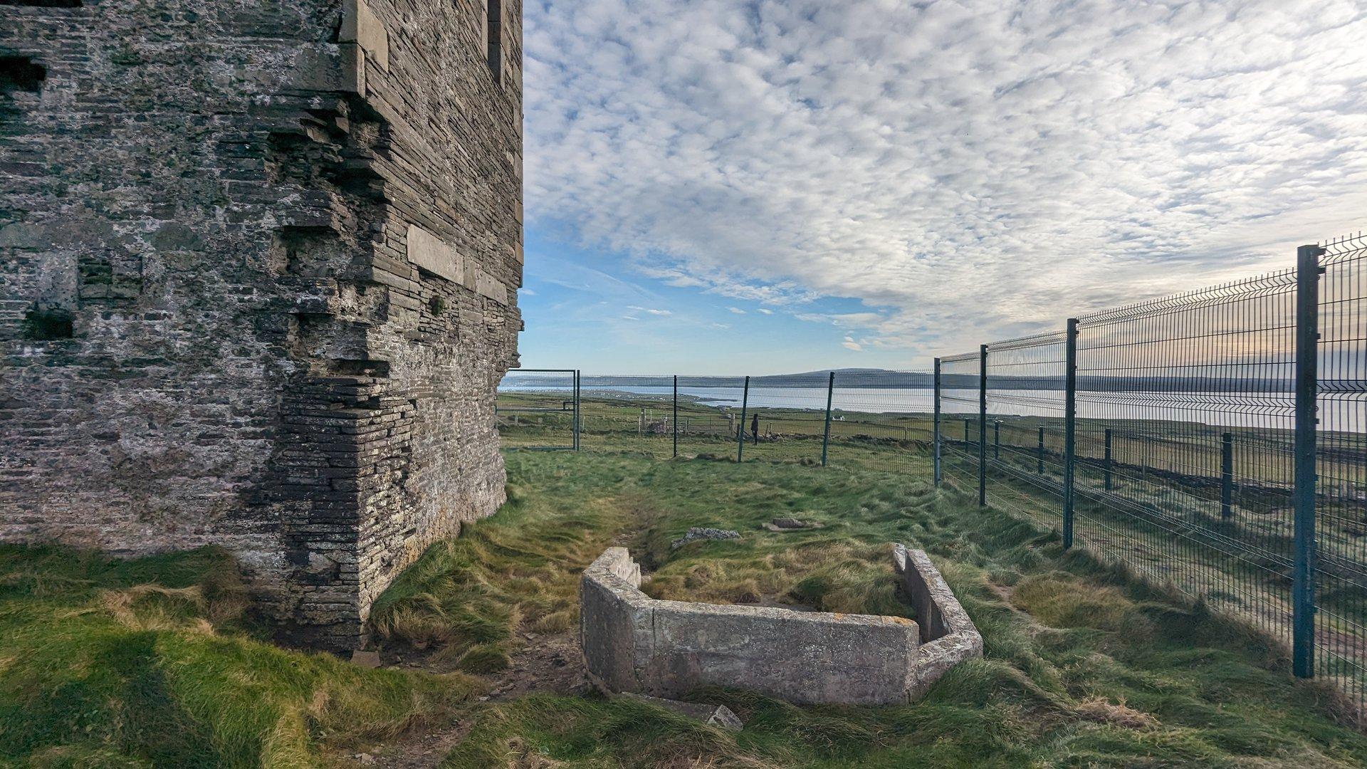
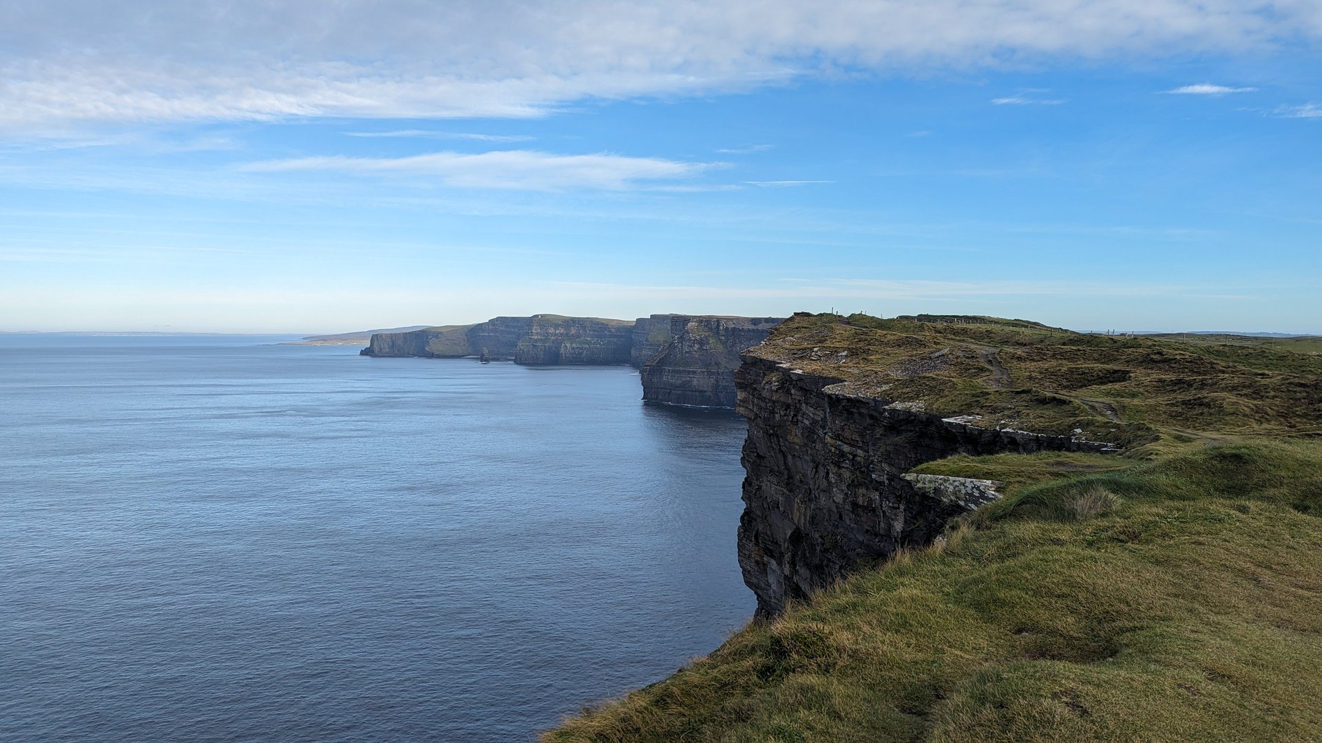
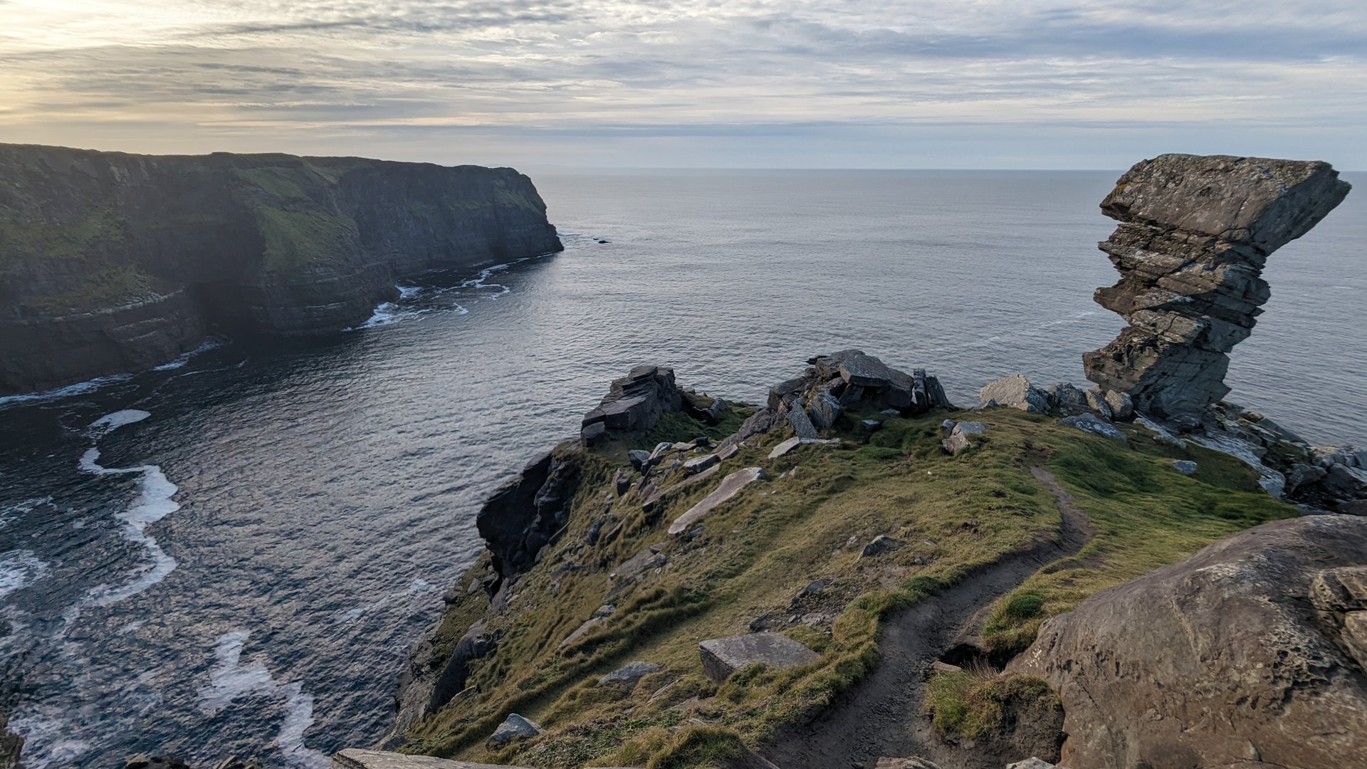
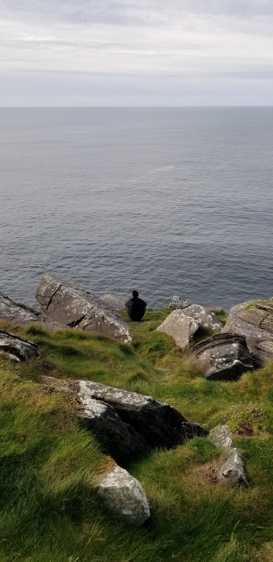
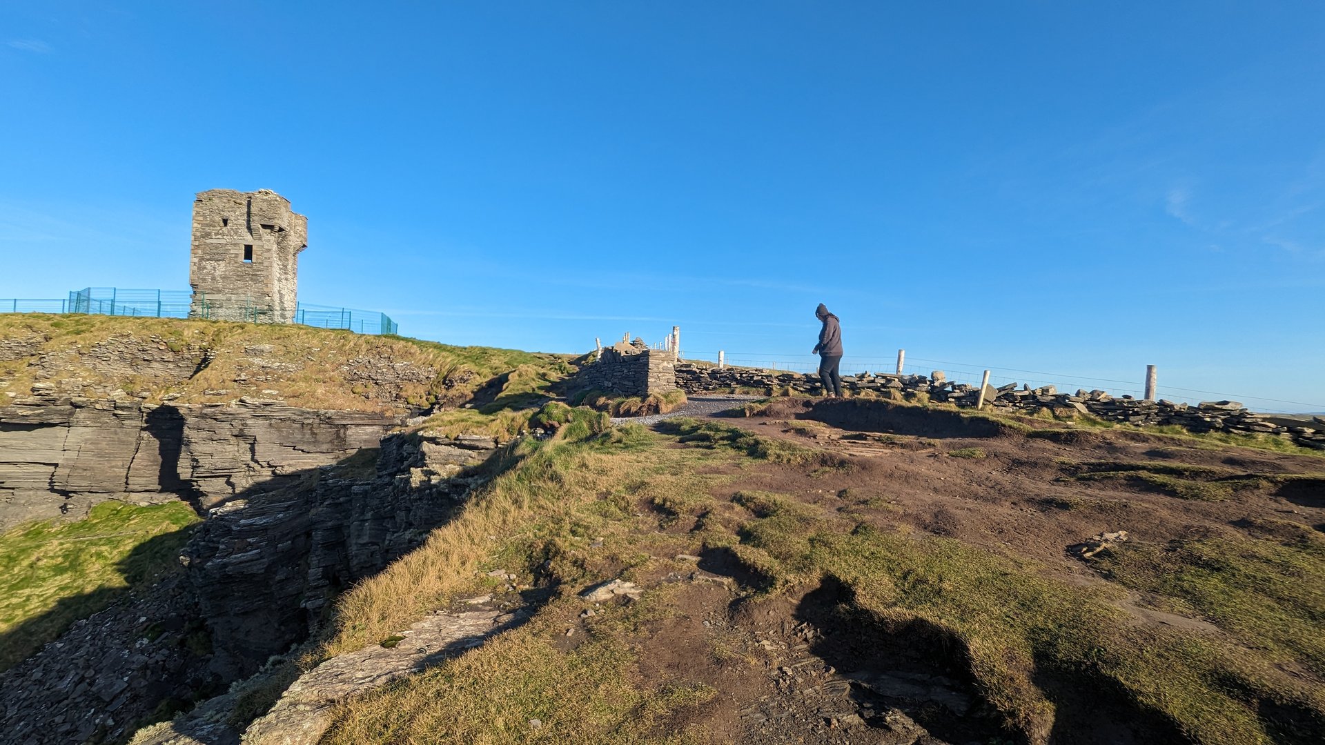
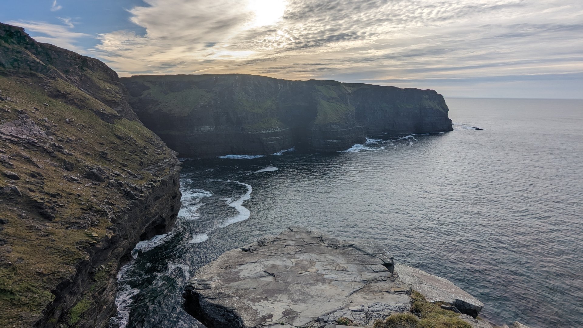
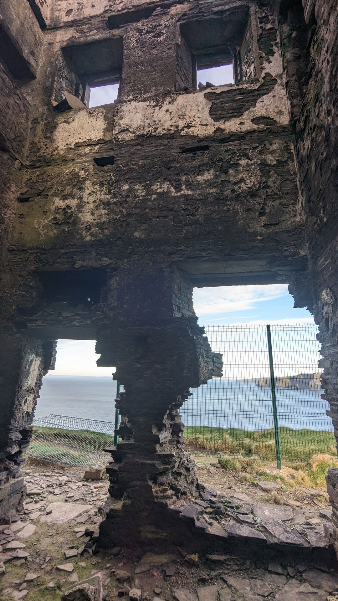
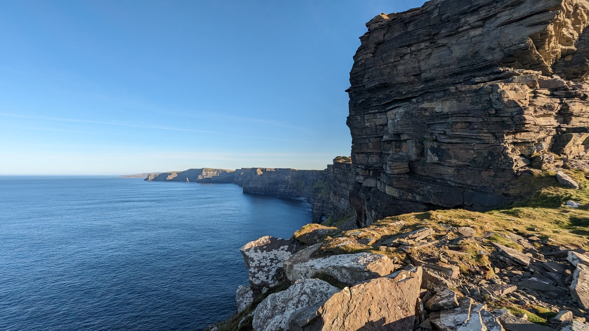
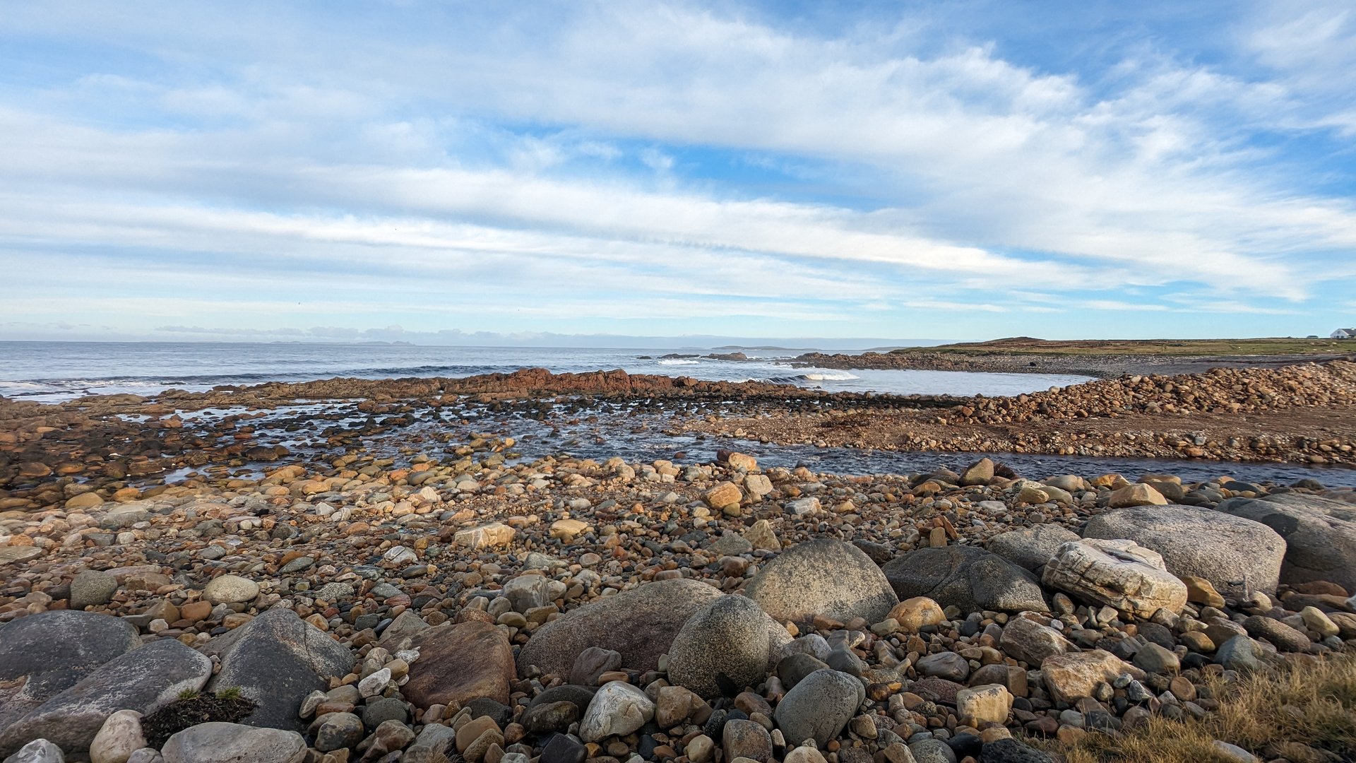
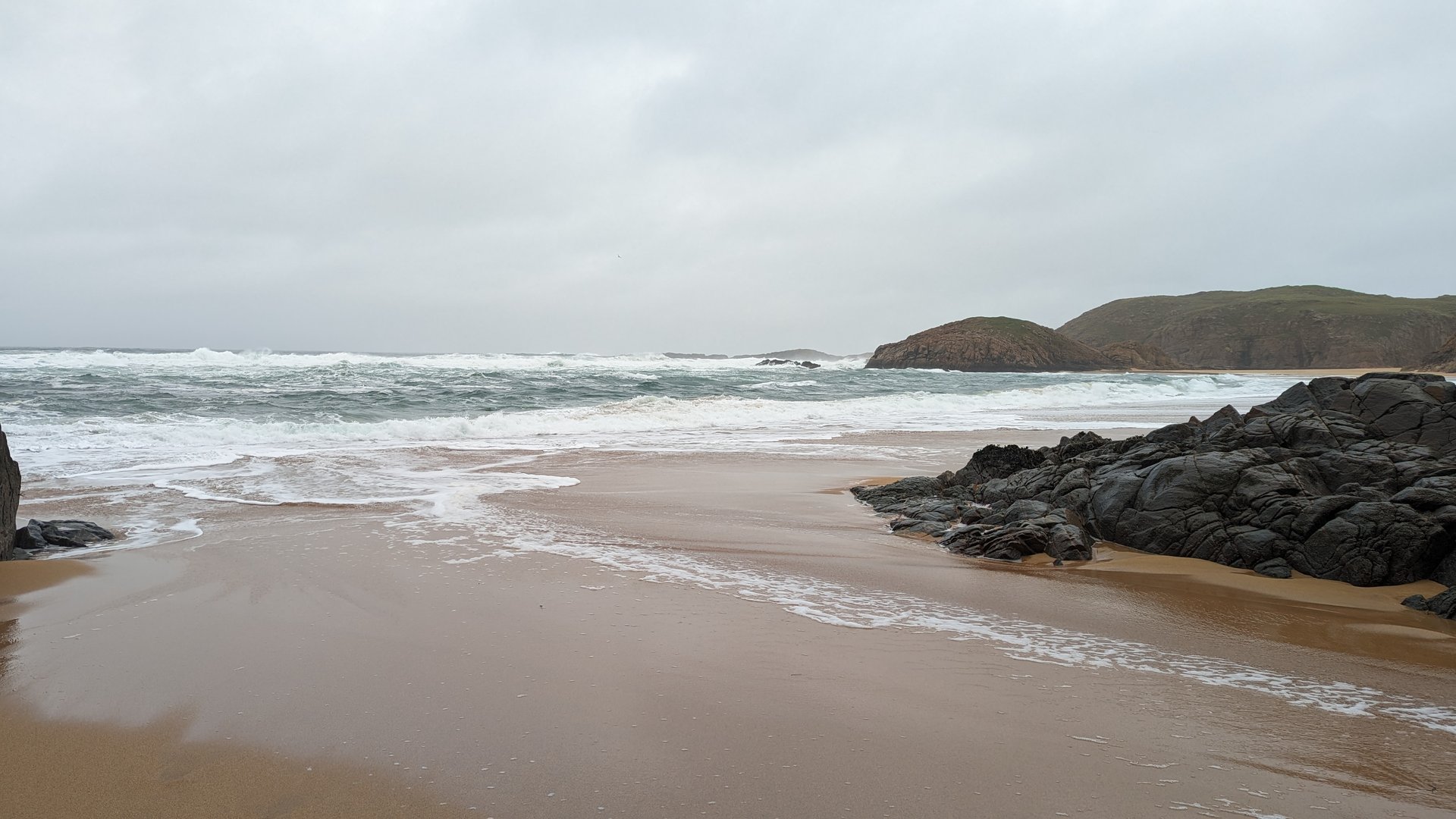
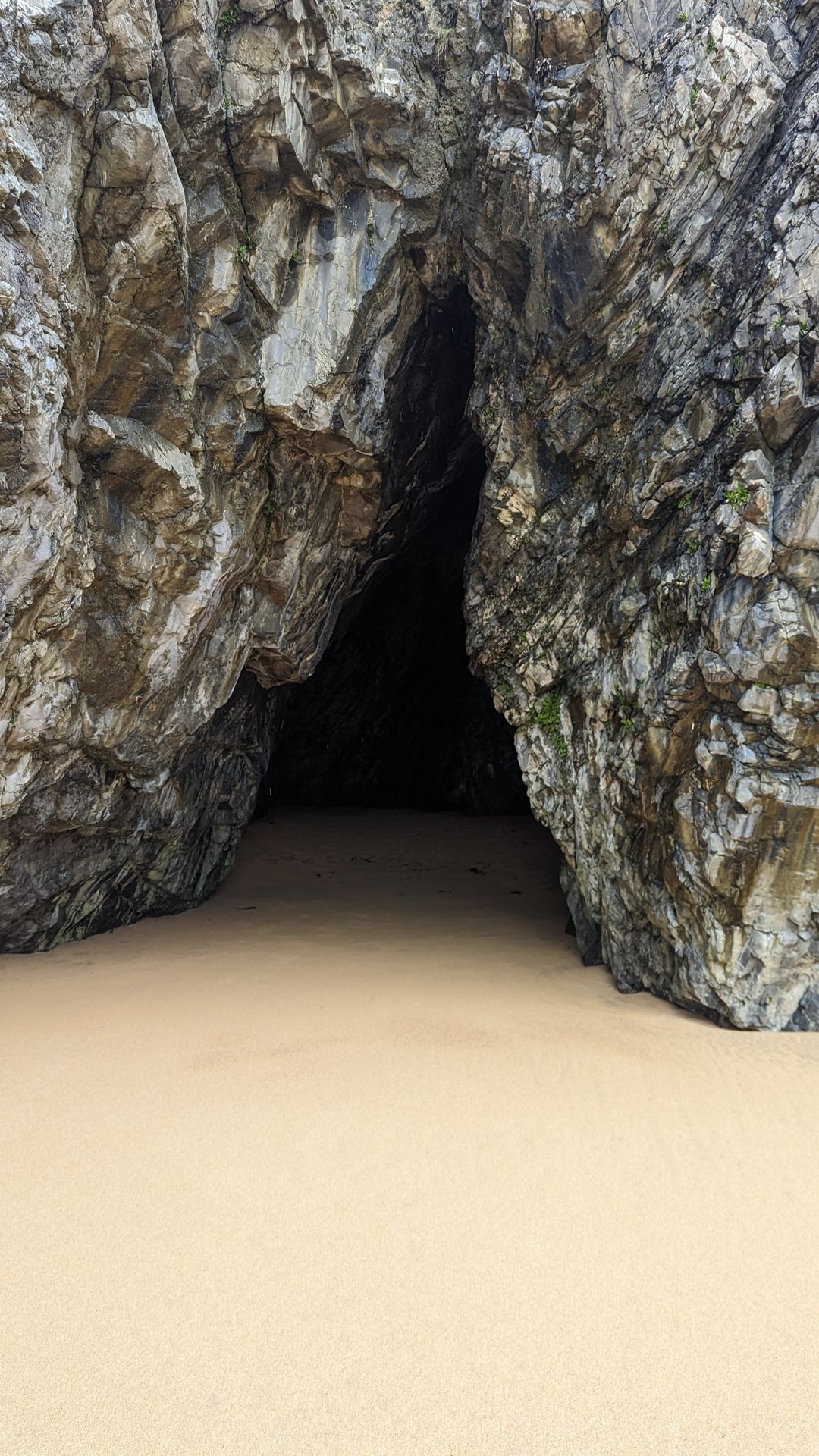
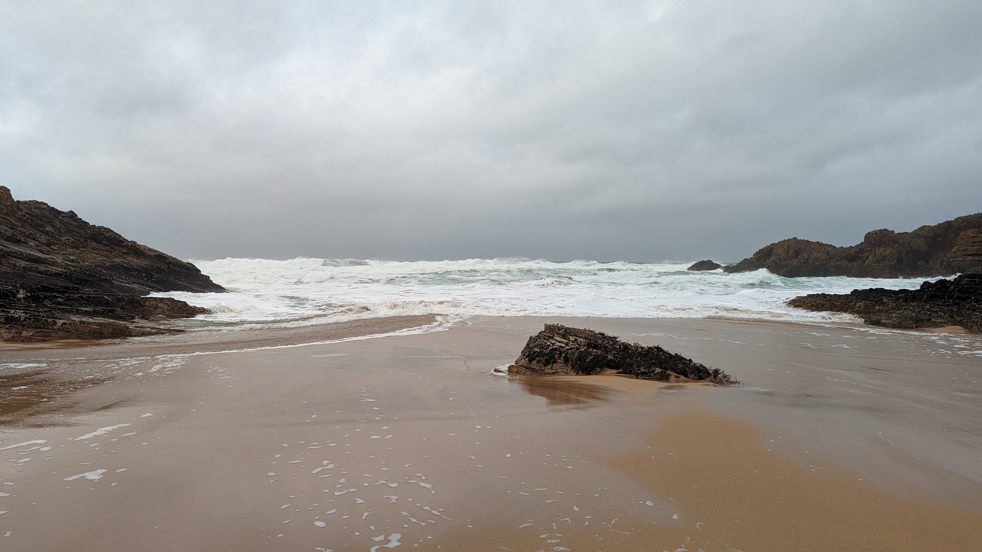
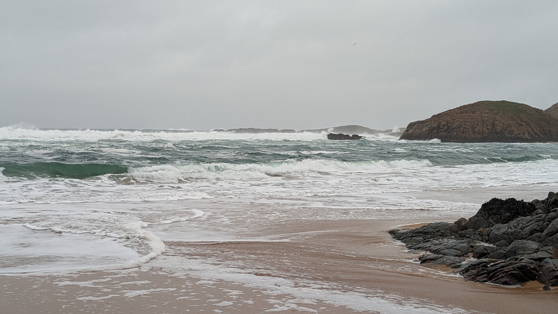
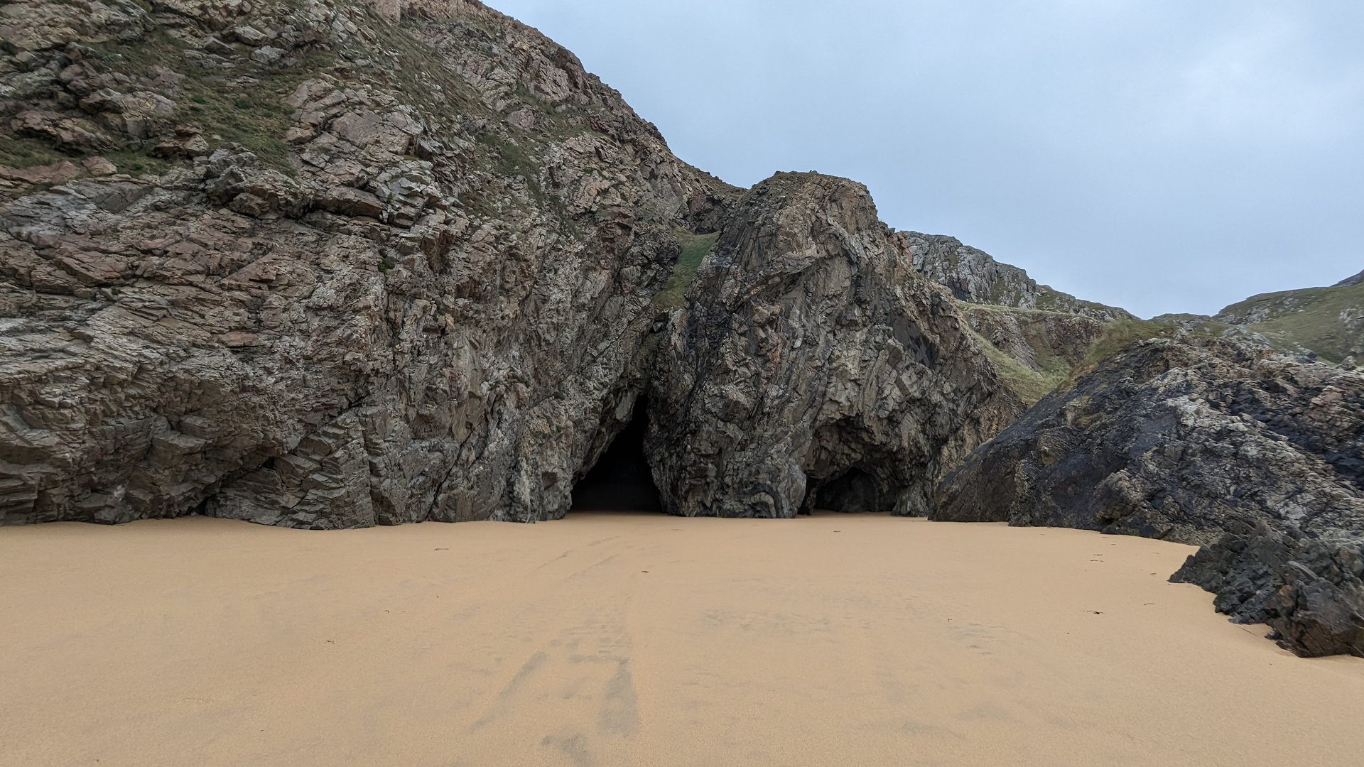
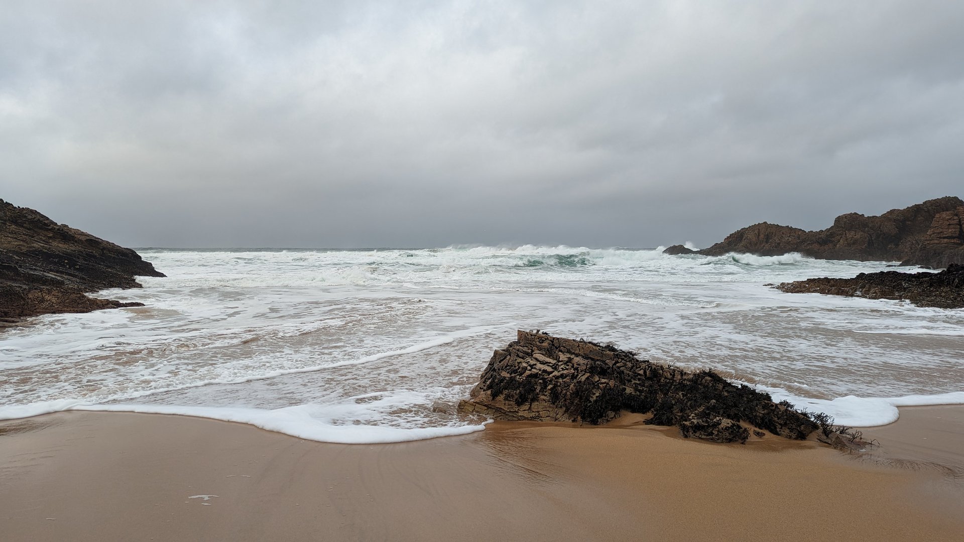
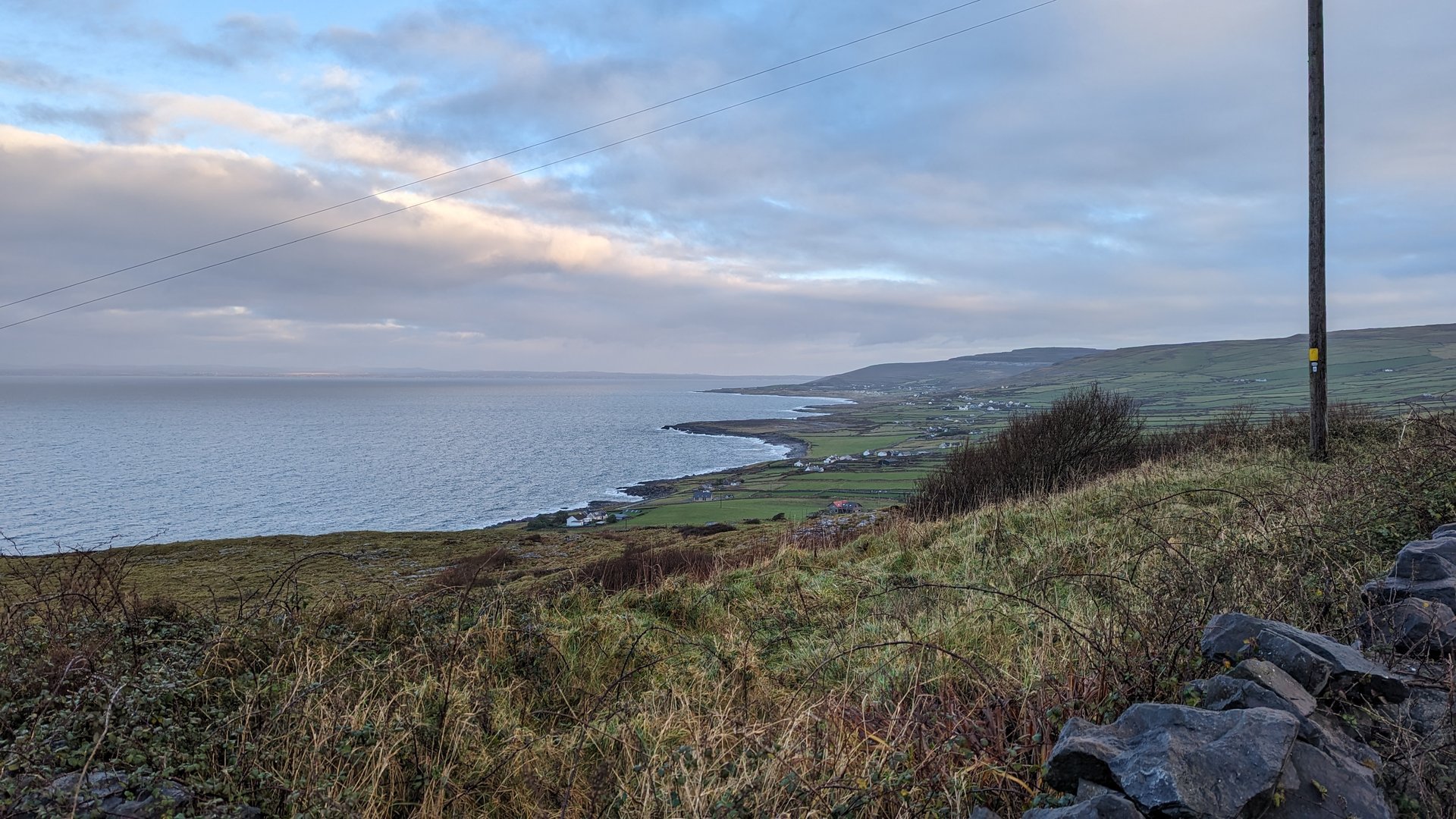
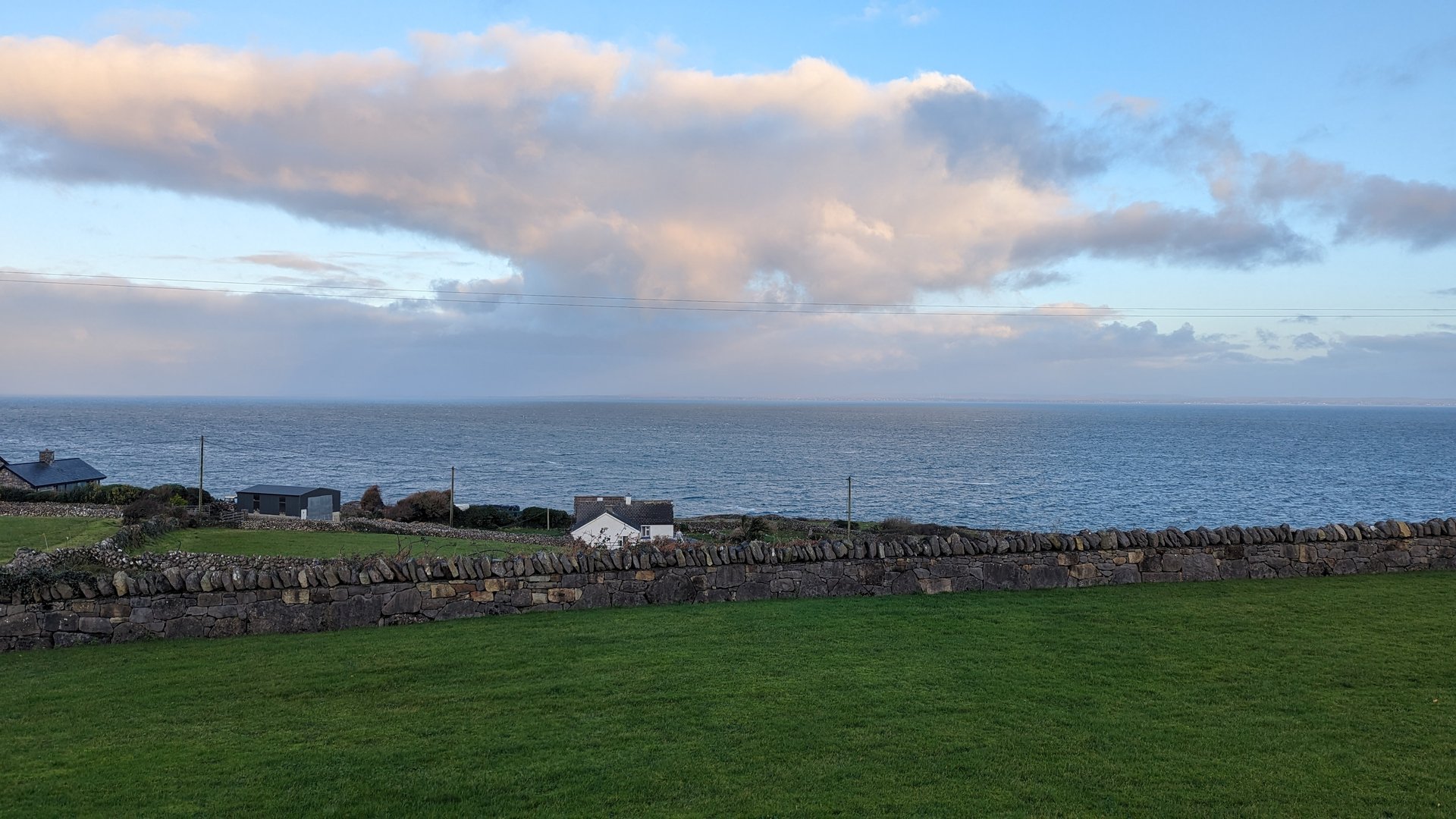
Clare Coast: Kilnamona to Lahinch (83 km)

Monday, December 4, 2023

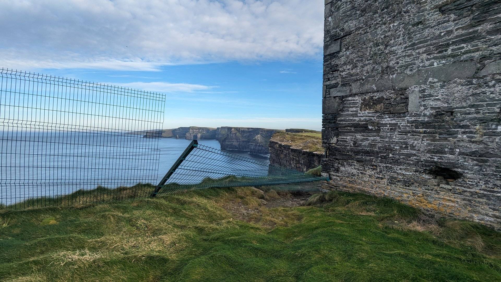
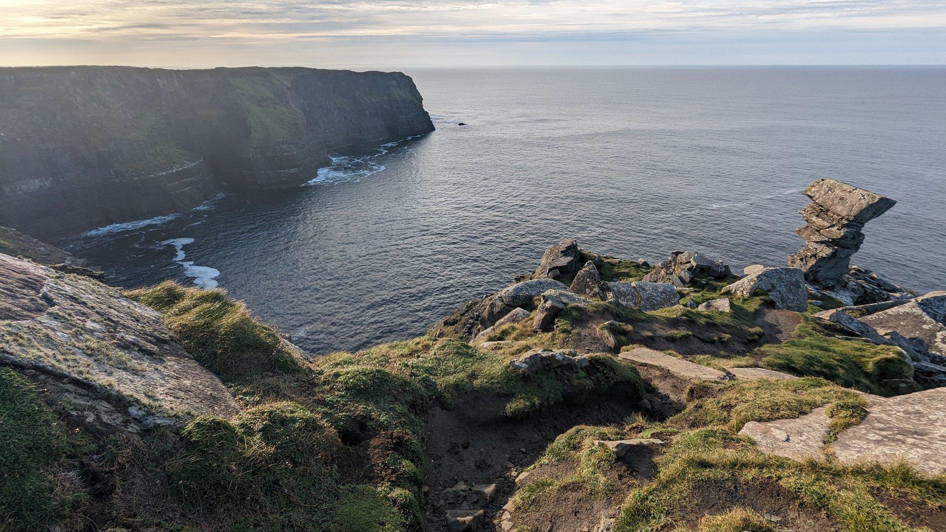
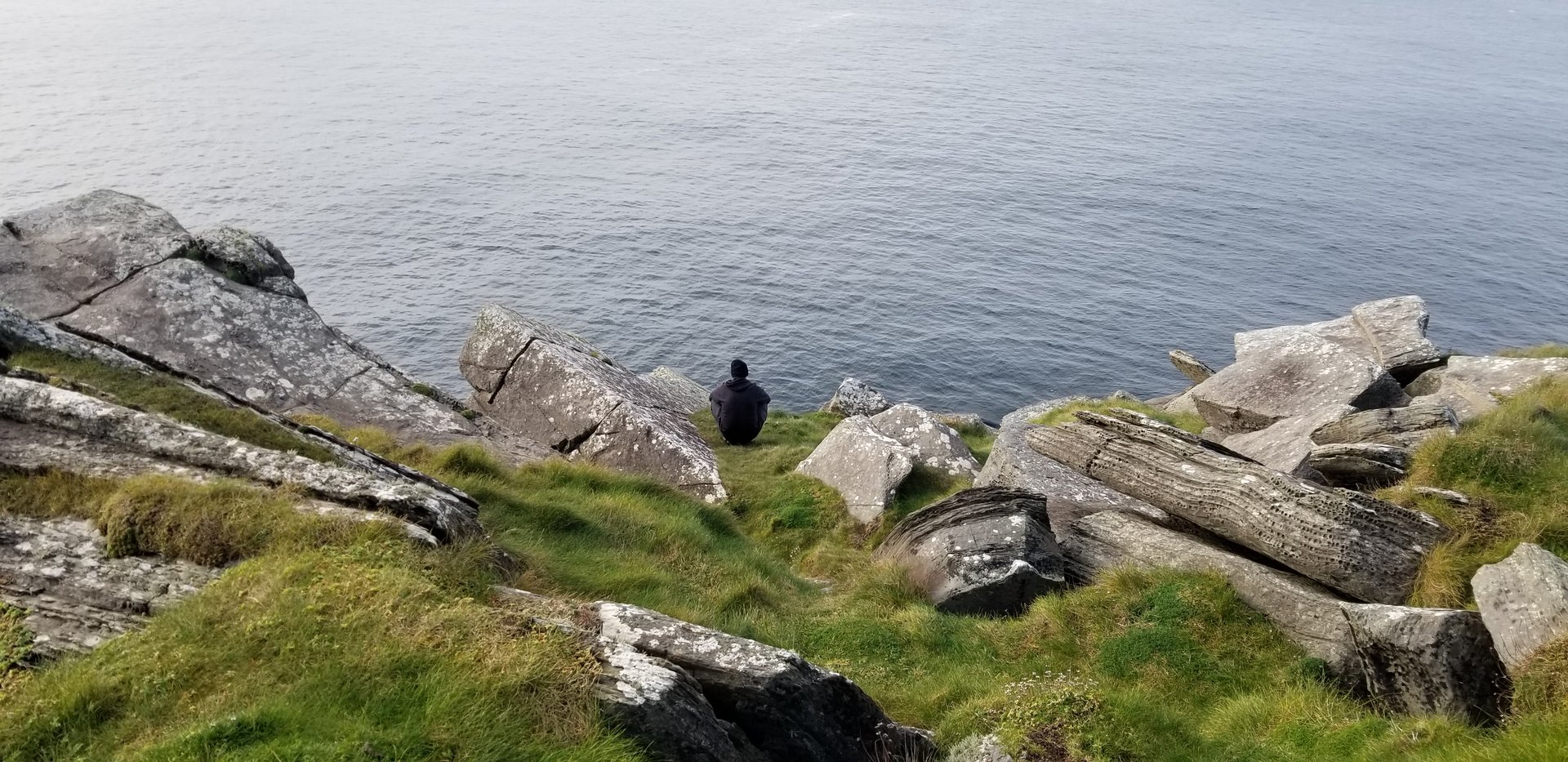
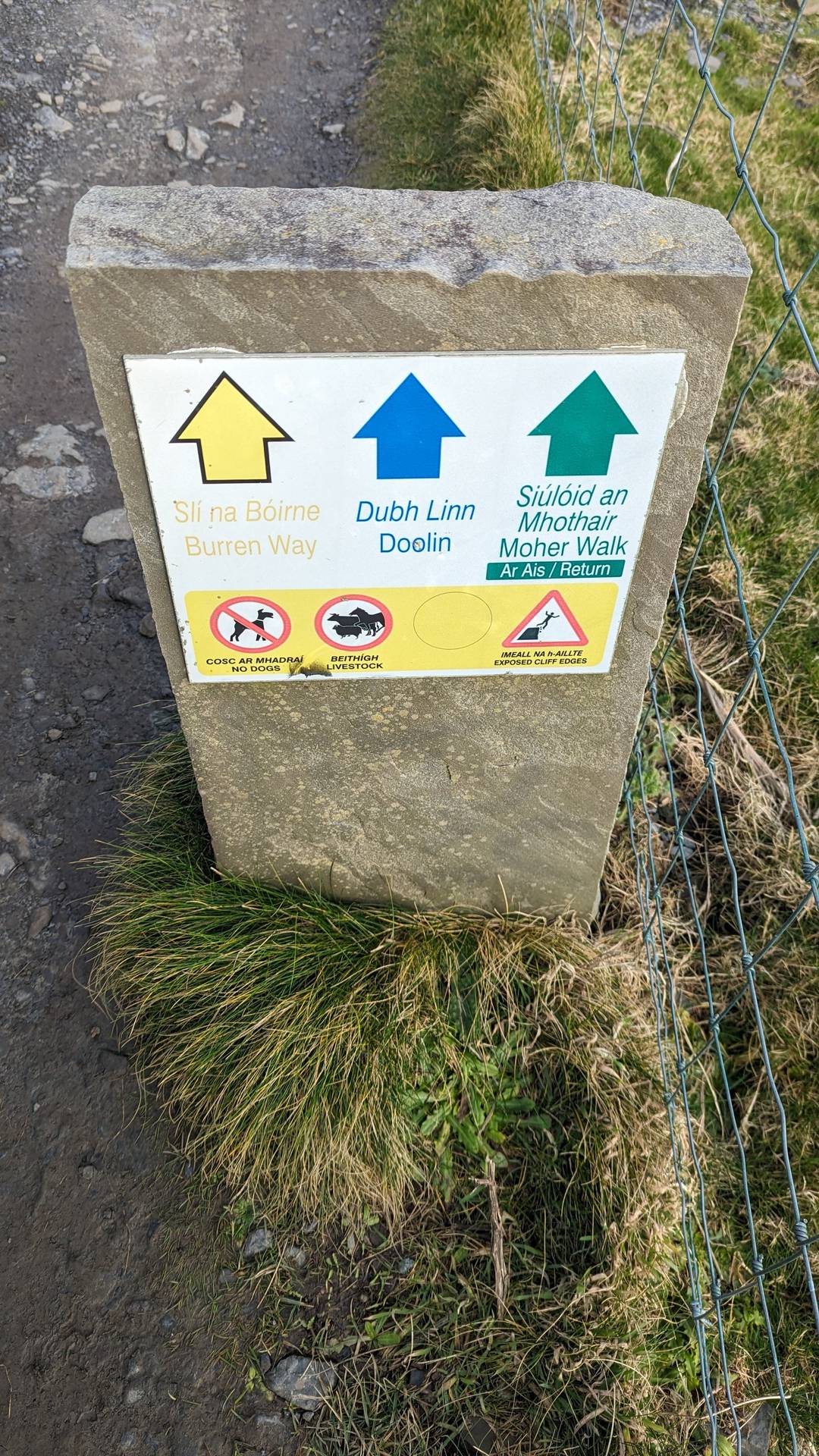
A full day on the Clare coast covering just 83 km but spending over eight hours on the road. The route passed through Ennistimon and Lisdoonvarna before reaching the Cliffs of Moher and finishing at Lahinch on the Atlantic shore.

Show full route (10 stops)
Kilnamona, County Clare Ballyea, County Clare Clooney, County Clare Ennistimon, County Clare Kilshanny, County Clare Lurraga, County Clare Lisdoonvarna, County Clare Liscannor, County Clare Ballysteen, County Clare Lahinch, County Clare
📊 Day Statistics 83km • 360 photos
Distance 83.4 km
Duration 8.3 hrs
Elevation Gain 1330 m
Photos 37

🗺️ Route Map

Day 7

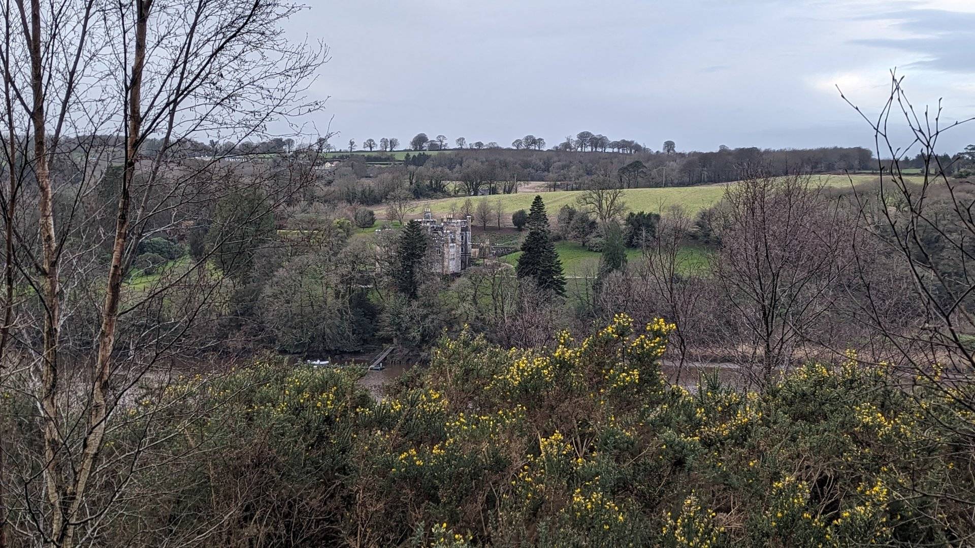
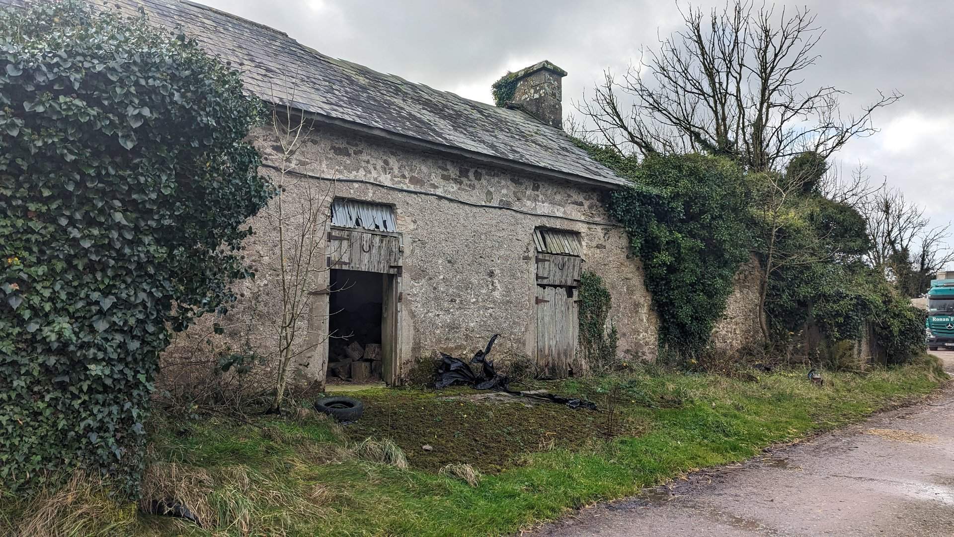
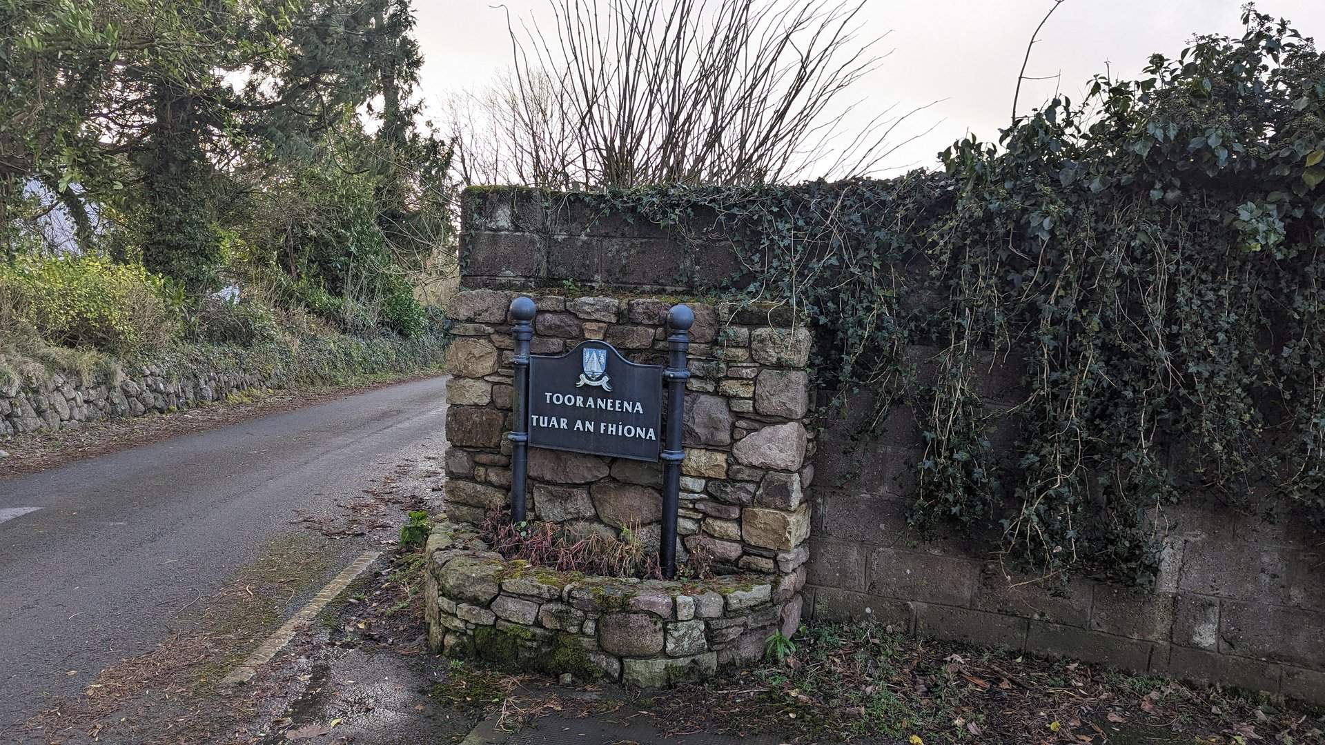
Limerick to Waterford via Cork (116 km)

Thursday, December 7, 2023

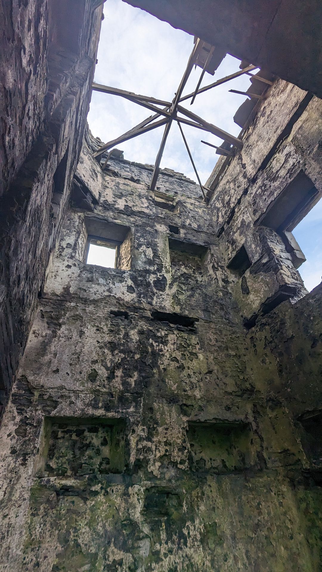
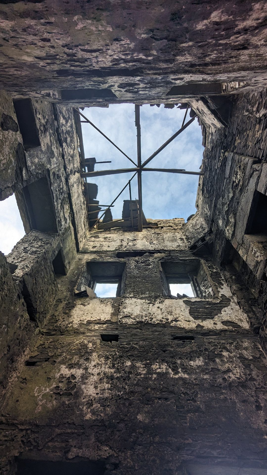
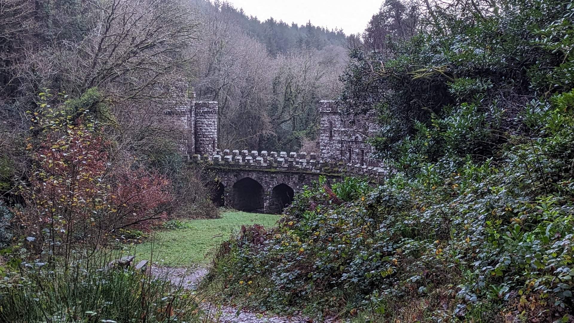
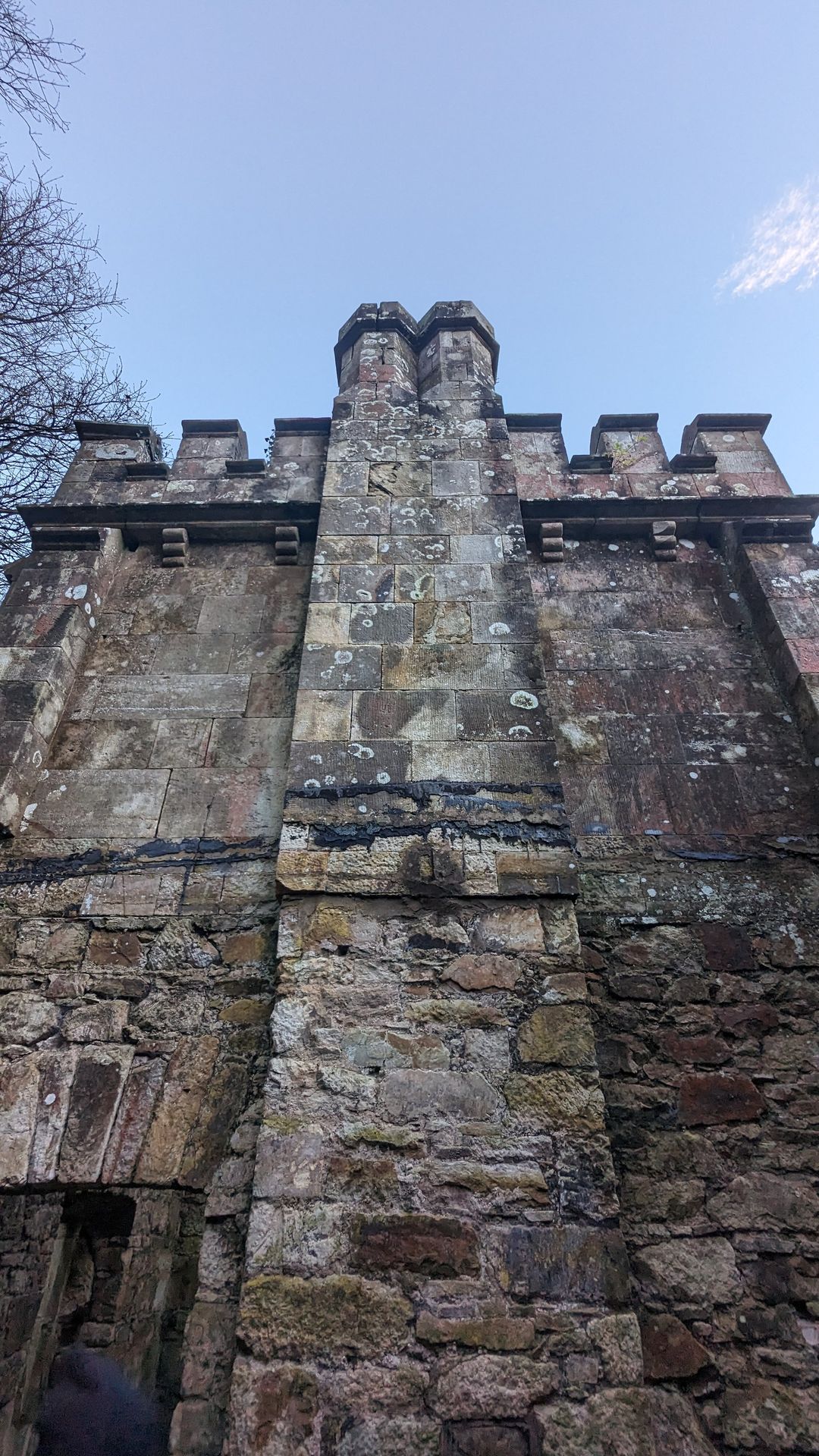
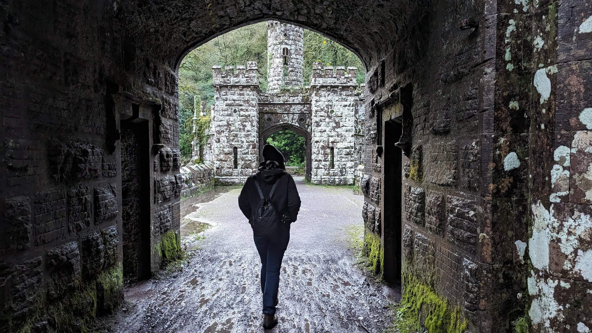
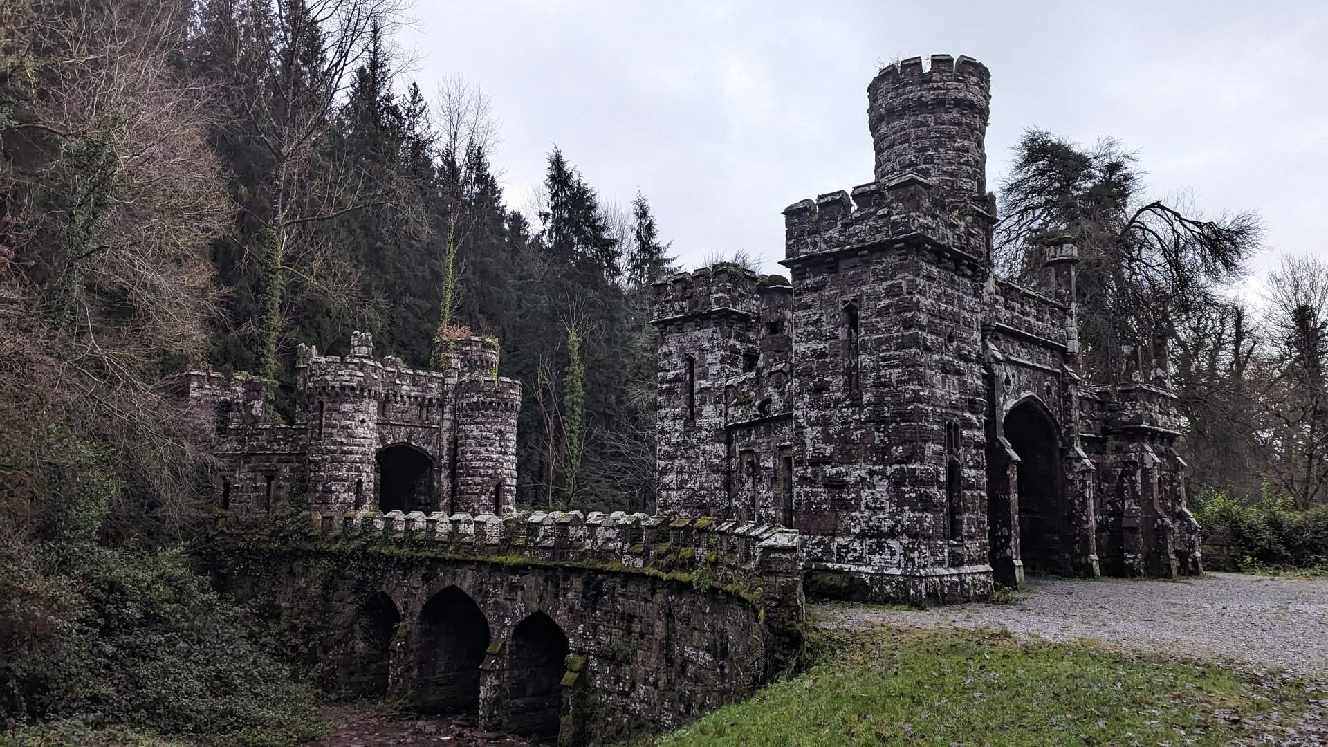
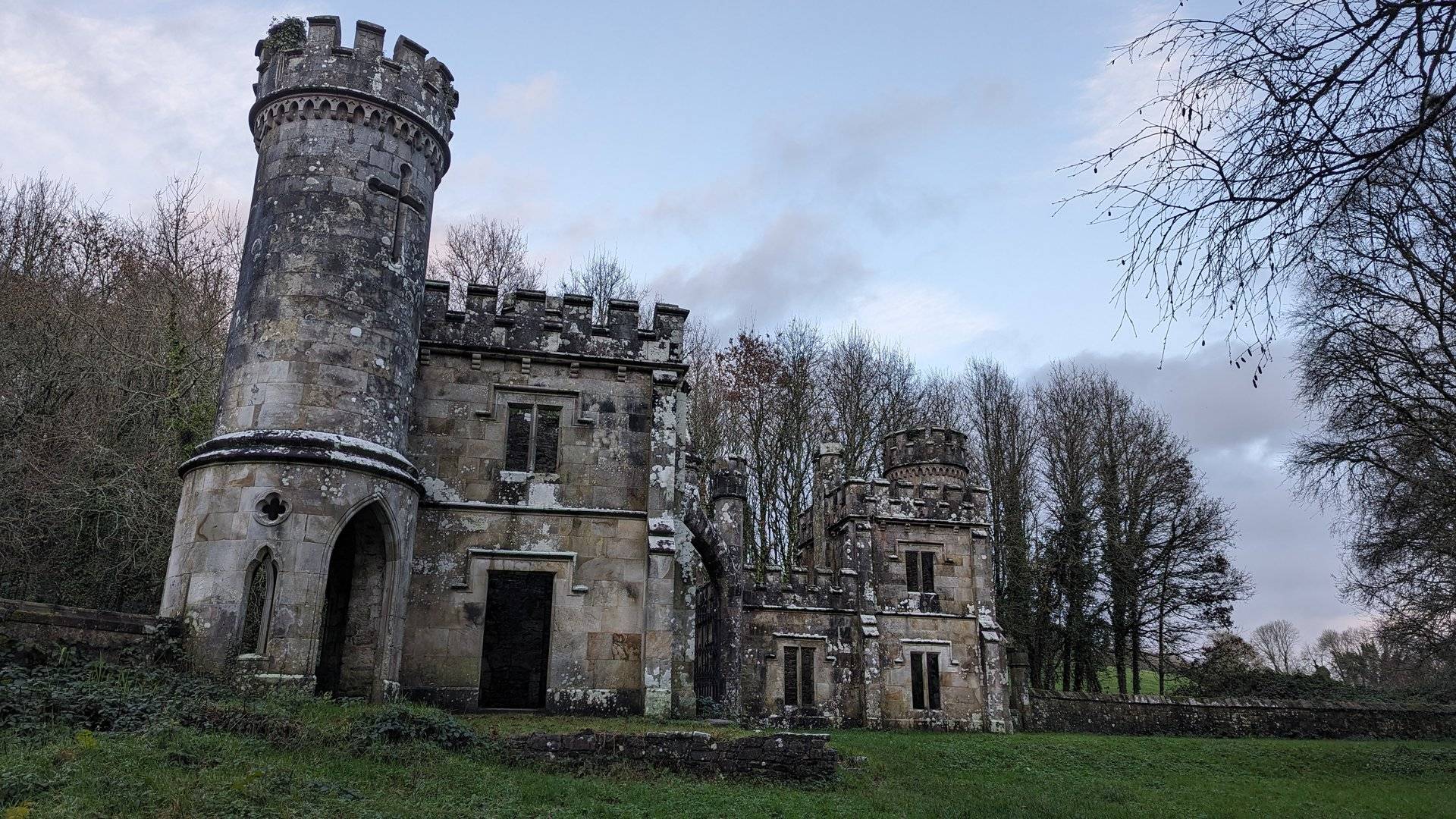
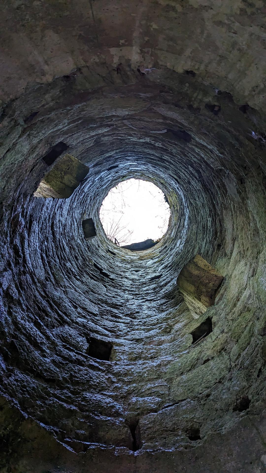
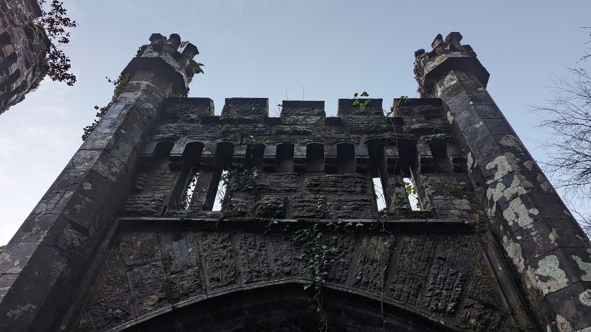
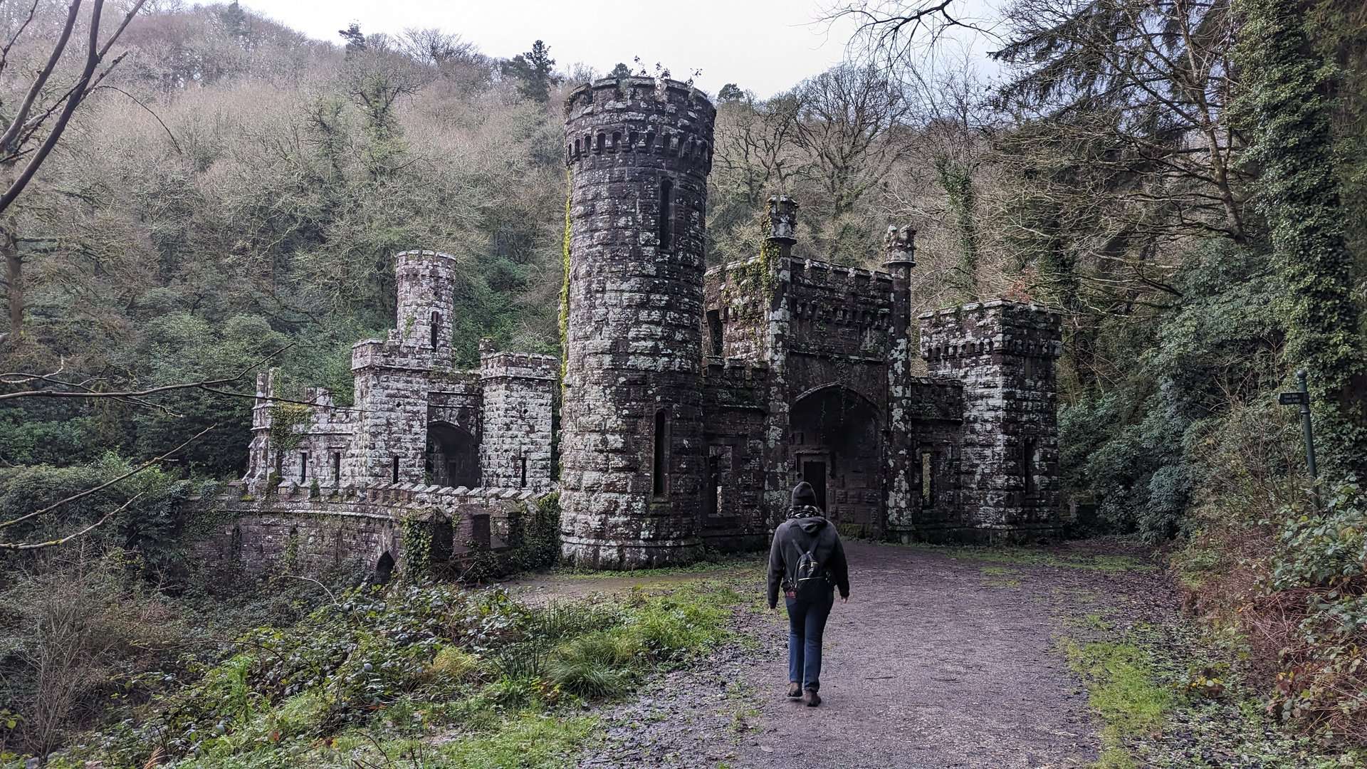
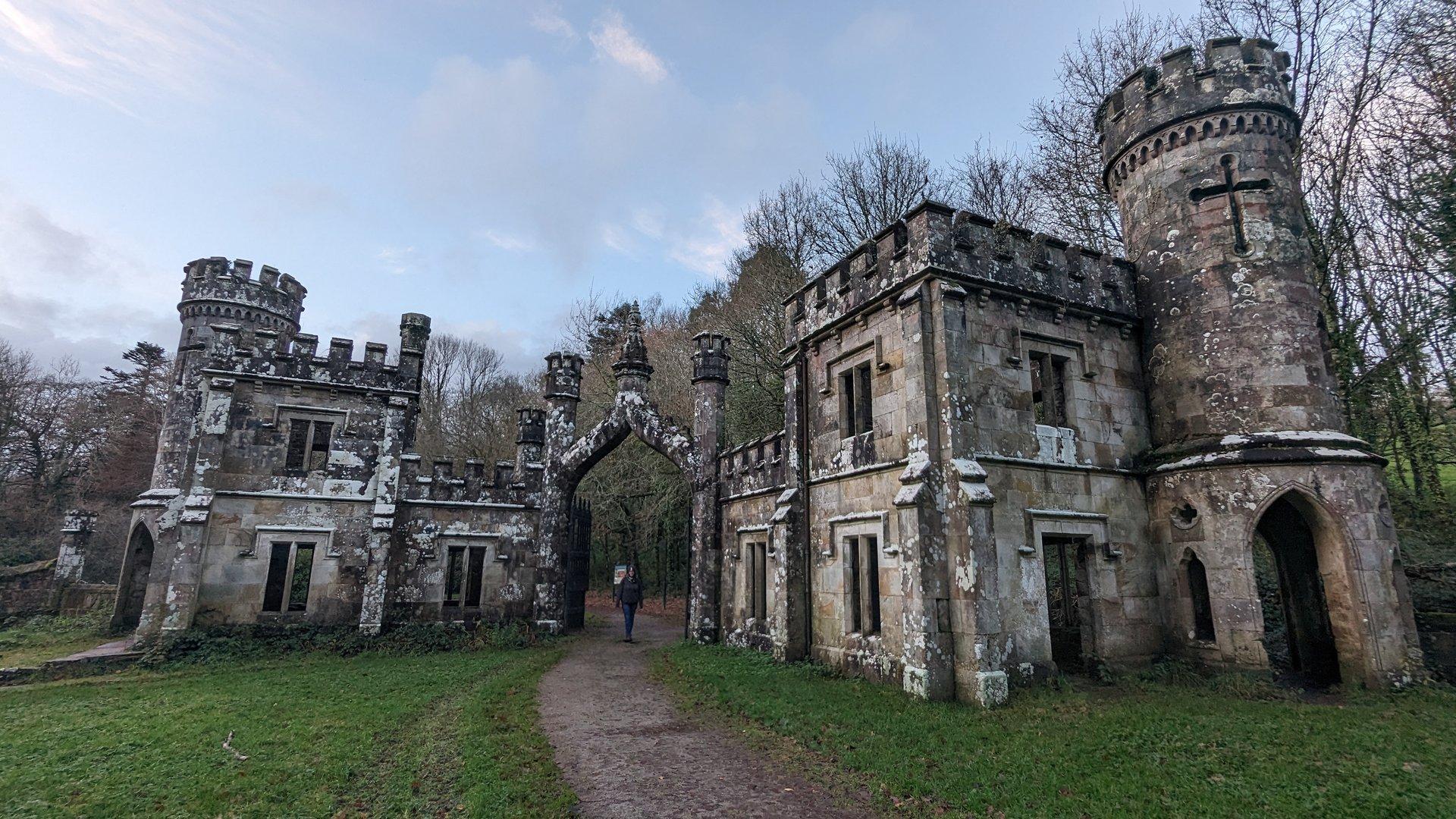
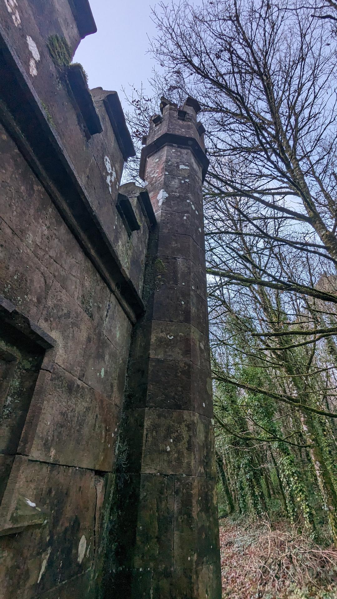
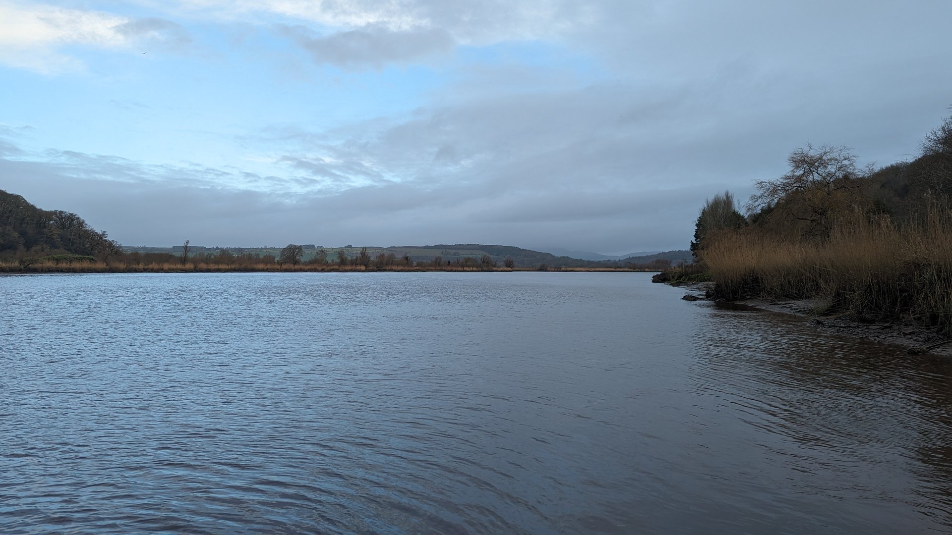
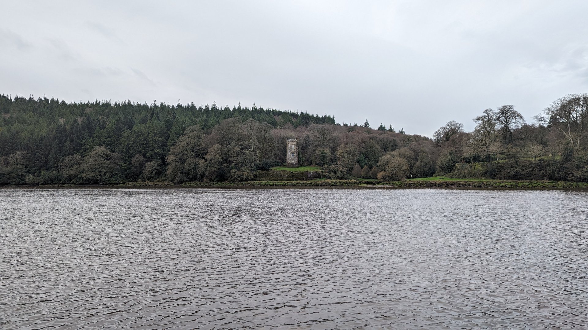
Heading southeast from Limerick City through the Galtee Mountains corridor, crossing into County Cork at Mitchelstown before turning east into Waterford. The 116 km route followed the Blackwater Valley past Cappoquin and the Ballysaggartmore Towers.

Show full route (23 stops)
The Metropolitan District of Limerick City, County Limerick Caherconlish West, County Limerick Caherconlish, County Limerick Caherelly, County Limerick Hospital, County Limerick Knocklong, County Limerick Glenbrohane, County Limerick Ballylanders, County Limerick Cullane, County Limerick Kilglass, County Limerick Mitchelstown, County Cork Kilphelan, County Cork Kilworth, County Cork Leitrim, County Cork Mocollop, County Waterford Ballyduff, County Waterford Ballysaggart More, County Waterford Ballysaggartmore Towers Ballyin, County Waterford Cappoquin, County Waterford Mount Rivers, County Waterford Dromana, County Waterford Dromore, County Waterford
📊 Day Statistics 116km • 360 photos
Distance 116.3 km
Duration 3.7 hrs
Elevation Gain 1674 m
Photos 16

🗺️ Route Map

Day 8

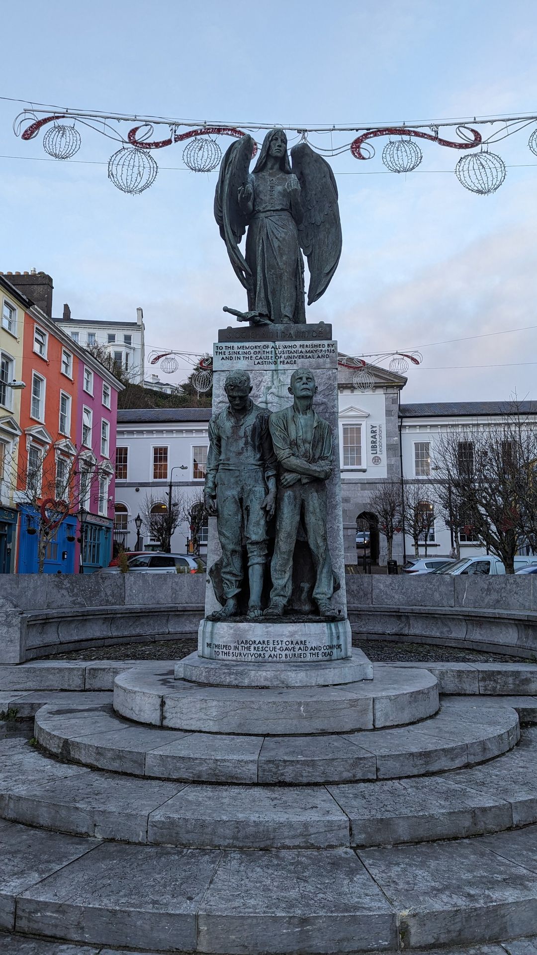
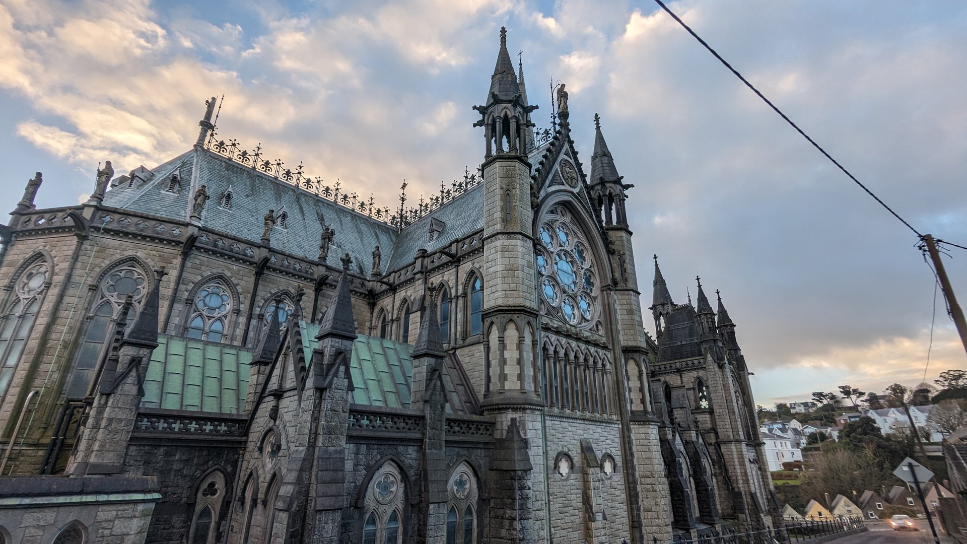
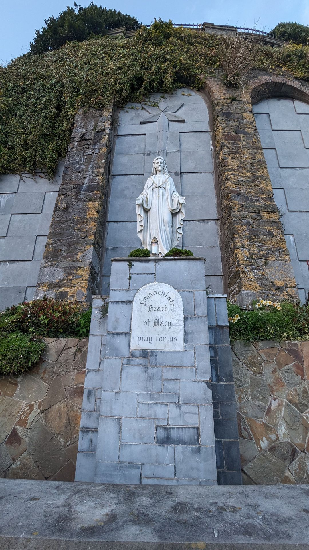
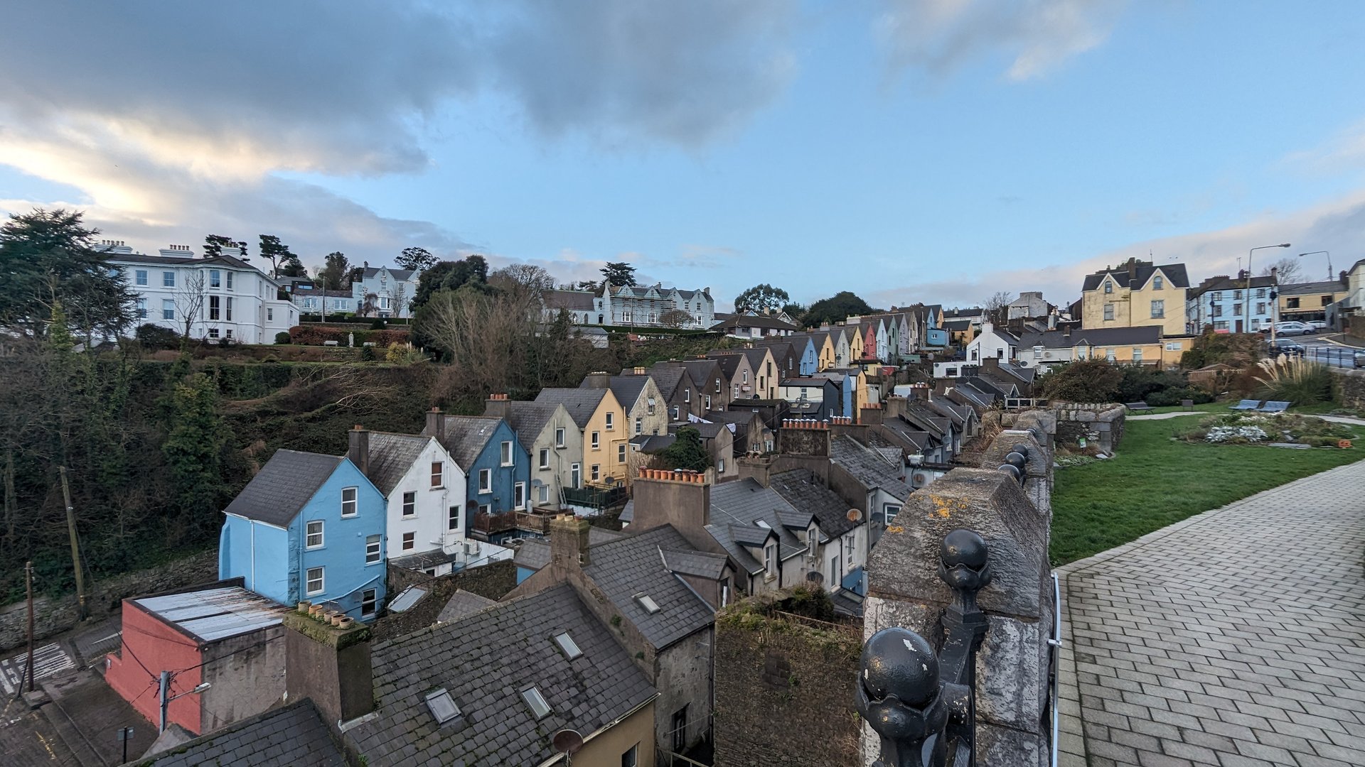
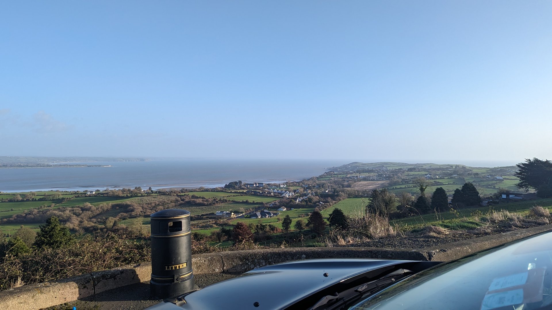
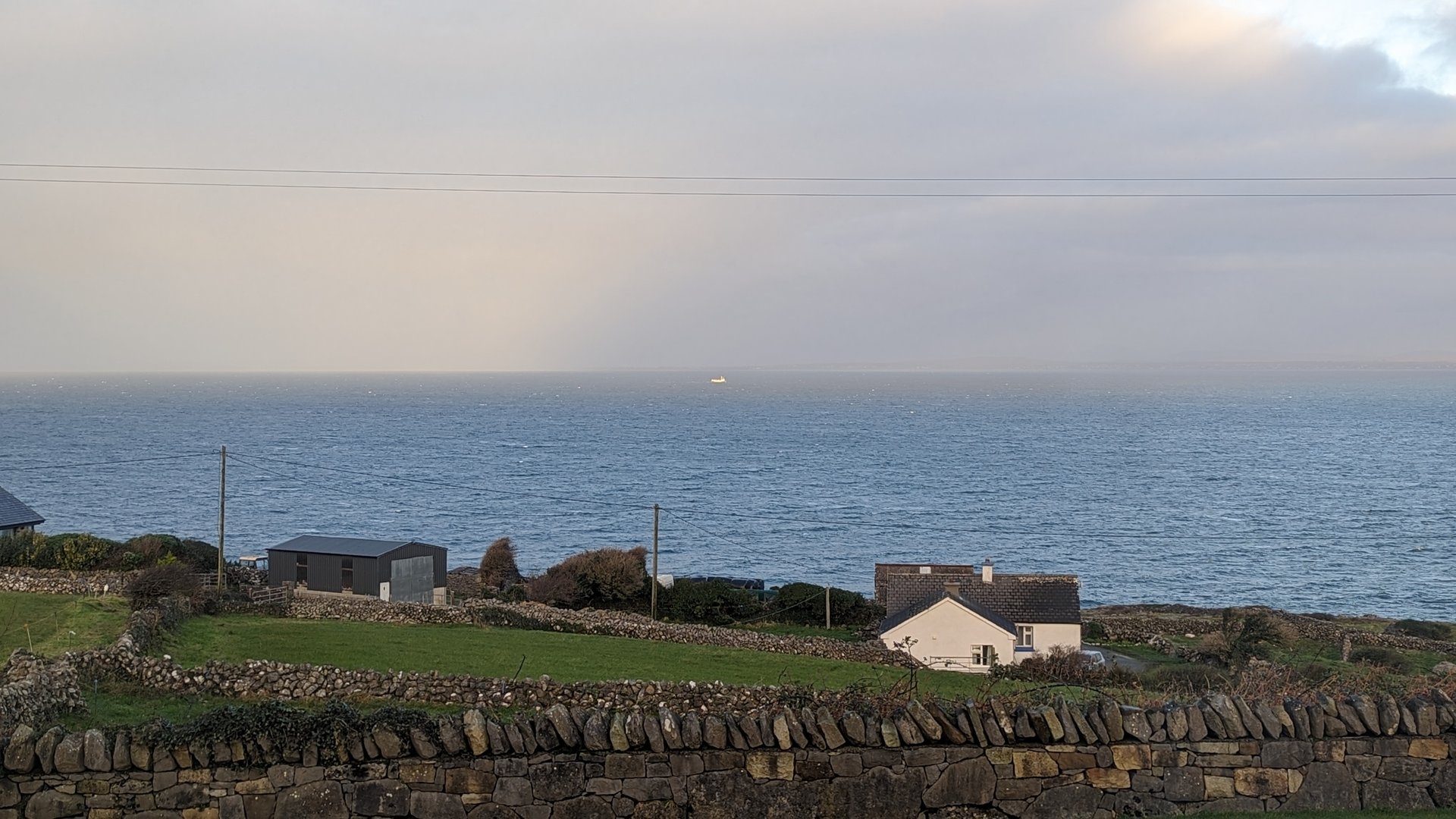
Waterford & Cork Coast: Dromore to Ardmore (160 km)

Friday, December 8, 2023

A long day along the southeast coast, looping from Dromore through Clashmore into east Cork as far as Carrigtohill before returning to Ardmore in Waterford. Over 12 hours on the road for 160 km, with nearly 2,400 meters of climbing along the coastal headlands.

Show full route (13 stops)
Dromore, County Waterford Clashmore, County Waterford Ballyheeny, County Waterford Pilltown, County Waterford Clonpriest, County Cork Ardagh, County Cork Killeagh, County Cork Castlemartyr, County Cork Carrigtohill, County Cork Mogeely, County Cork Knocknacally, County Cork Grange, County Waterford Ardmore, County Waterford
📊 Day Statistics 160km • 360 photos
Distance 160.0 km
Duration 12.1 hrs
Elevation Gain 2399 m
Photos 19

🗺️ Route Map

Day 9

Waterford to Donegal: Full Traverse (619 km)

Saturday, December 9, 2023

The longest day of the trip: 619 km from Waterford to Lettermacaward in west Donegal, crossing through Tipperary, Offaly, Westmeath, Roscommon, Sligo, and down the Donegal coast. Over 23 hours and 6,300 meters of elevation gain covered nearly the full north-south length of Ireland.

Show full route (75 stops)
Carriglea, County Waterford Whitechurch, County Waterford Dromana, County Waterford Dromore, County Waterford Keereen, County Waterford Ringville, County Waterford Colligan, County Waterford Seskinan, County Waterford Graignagower, County Waterford Ballymacarbry, County Waterford Newcastle, County Tipperary Knockaunbrandaun, County Waterford Modelligo, County Waterford Kilmacomma, County Waterford Tullaghmelan, County Tipperary Ballyclerahan, County Tipperary Mortlestown, County Tipperary Knockgraffon, County Tipperary Templenoe, County Tipperary George's-land, County Tipperary Ballysheehan, County Tipperary Moycarky, County Tipperary Thurles, County Tipperary Kilrush, County Tipperary Loughmore, County Tipperary Templemore, County Tipperary Drom, County Tipperary Rathnaveoge, County Tipperary Roscrea, County Tipperary Ettagh, County Offaly Kilcolman, County Offaly Eglish, County Offaly Mounterin, County Offaly Cloghan, County Offaly Gallen, County Offaly Doon, County Offaly Doon, County Westmeath Tubbrit, County Westmeath Roscommon, County Roscommon Tulsk, County Roscommon Rossmore, County Roscommon Lisgarve, County Roscommon Croghan, County Roscommon Rushfield, County Roscommon Mocmoyne, County Roscommon Aghanagh, County Sligo Lakeview, County Sligo Drumfin, County Sligo Collooney, County Sligo Kilmacowen, County Sligo Magheraboy, County Sligo Drumcliff East, County Sligo Drumcliff West, County Sligo Rossinver West, County Sligo Lissadill North, County Sligo Cliffony North, County Sligo Tullaghan, County Leitrim Carrickboy, County Donegal Cavangarden, County Donegal Ballintra, County Donegal Laghy, County Donegal Tullynaught, County Donegal Donegal, County Donegal Turris Hill, County Donegal Inver, County Donegal Ardara, County Donegal Mulmosog, County Donegal Glenties, County Donegal Maas, County Donegal Boyoughter, County Donegal Cloghbolie, County Donegal Crovehy, County Donegal Dunglow, County Donegal Meenacarn, County Donegal Lettermacaward, County Donegal
📊 Day Statistics 619km • 360 photos
Distance 619.4 km
Duration 23.3 hrs
Elevation Gain 6383 m
Photos 84

🗺️ Route Map

Day 10

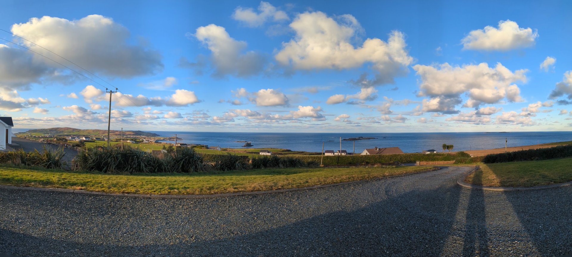
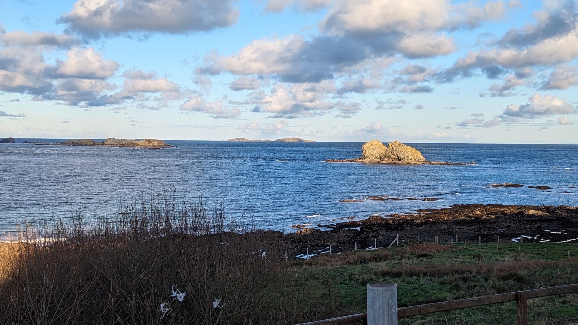
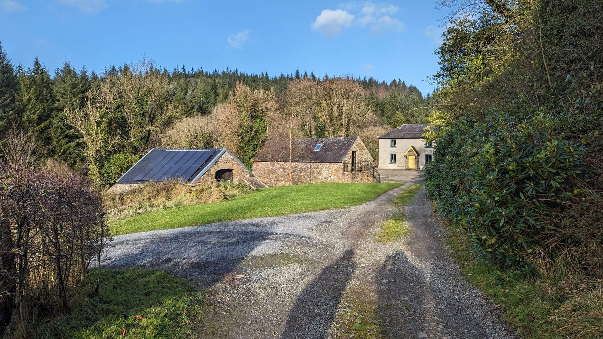
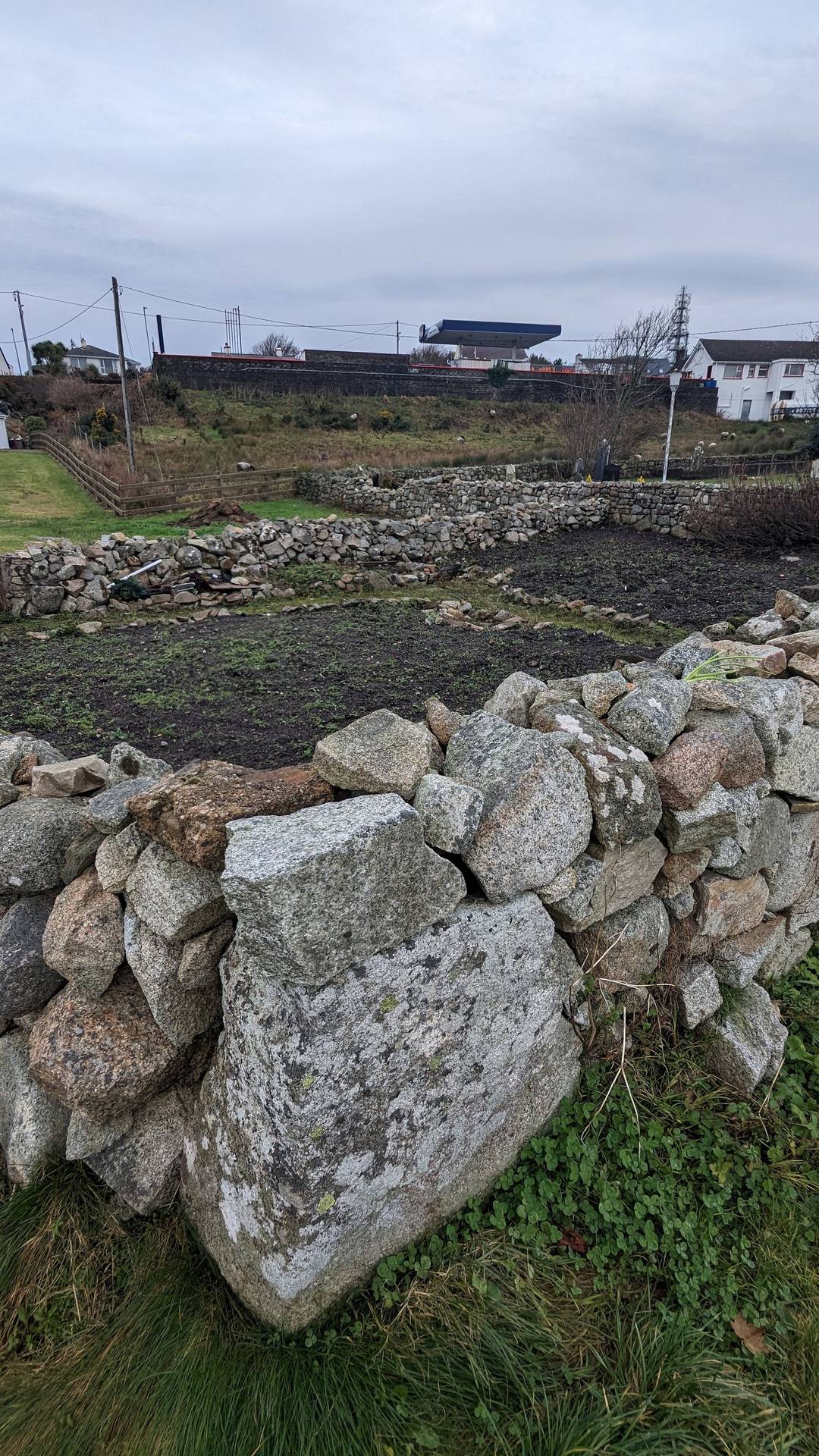
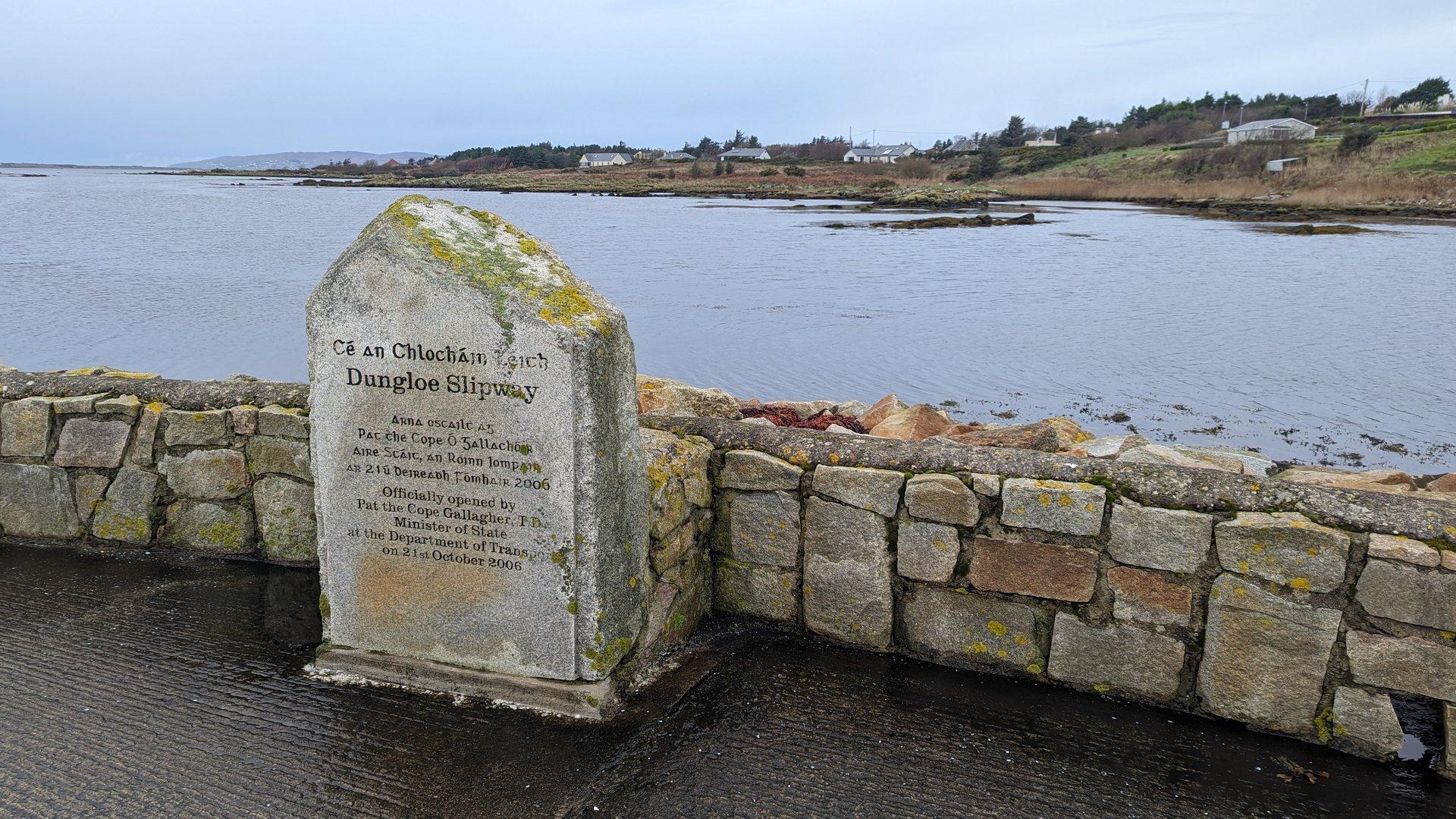
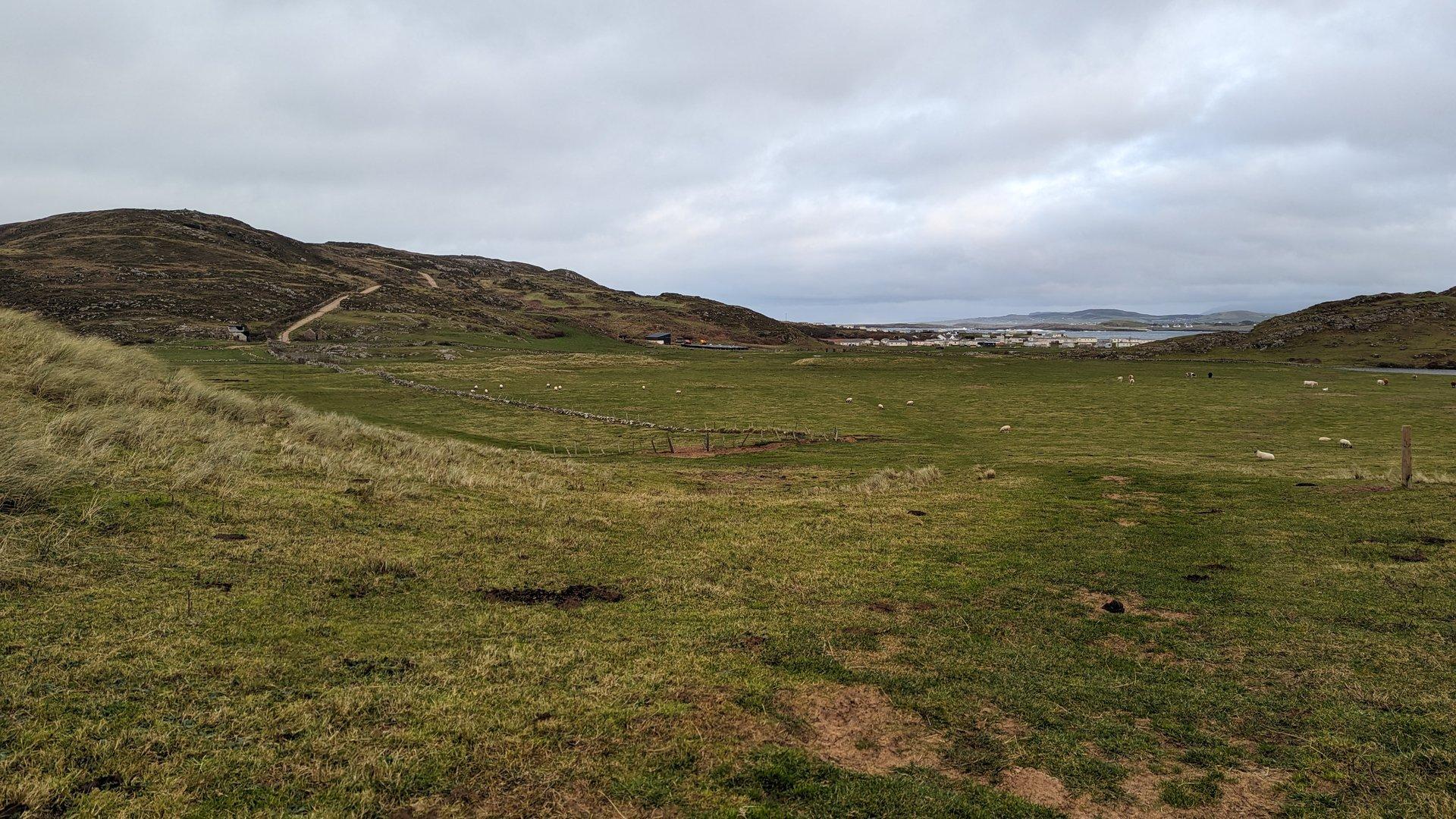
West Donegal: Dunglow & Maghery (45 km)

Sunday, December 10, 2023

A rest day of sorts around west Donegal, covering just 45 km between Lettermacaward, Dunglow, and the coastal village of Maghery. Short distances but the terrain still delivered 757 meters of climbing on Donegal's characteristic narrow roads.

Show full route (7 stops)
Lettermacaward, County Donegal Boyoughter, County Donegal Drumlaghdrid, County Donegal Dunglow, County Donegal Atlantic Bar Maghery, County Donegal Cloghbolie, County Donegal
📊 Day Statistics 45km • 360 photos
Distance 44.8 km
Duration 3.6 hrs
Elevation Gain 757 m
Photos 41

🗺️ Route Map

Day 11

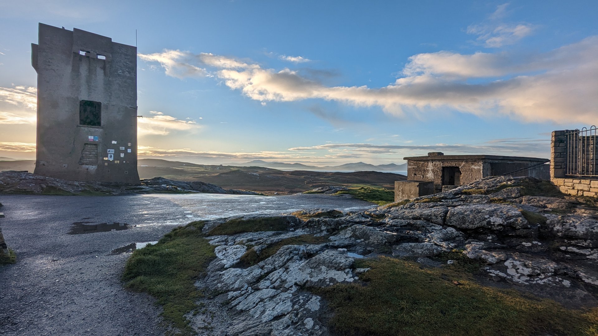
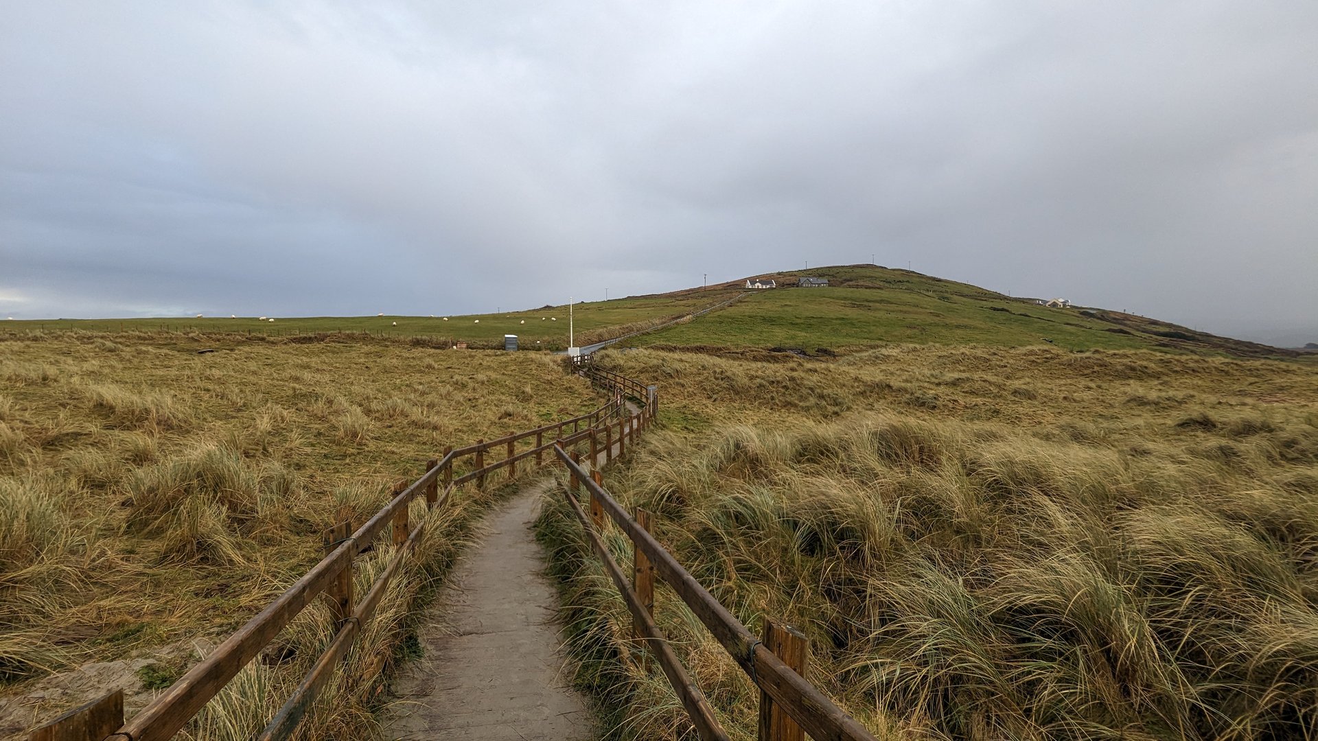
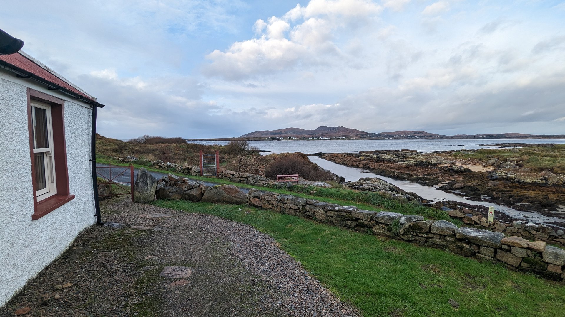
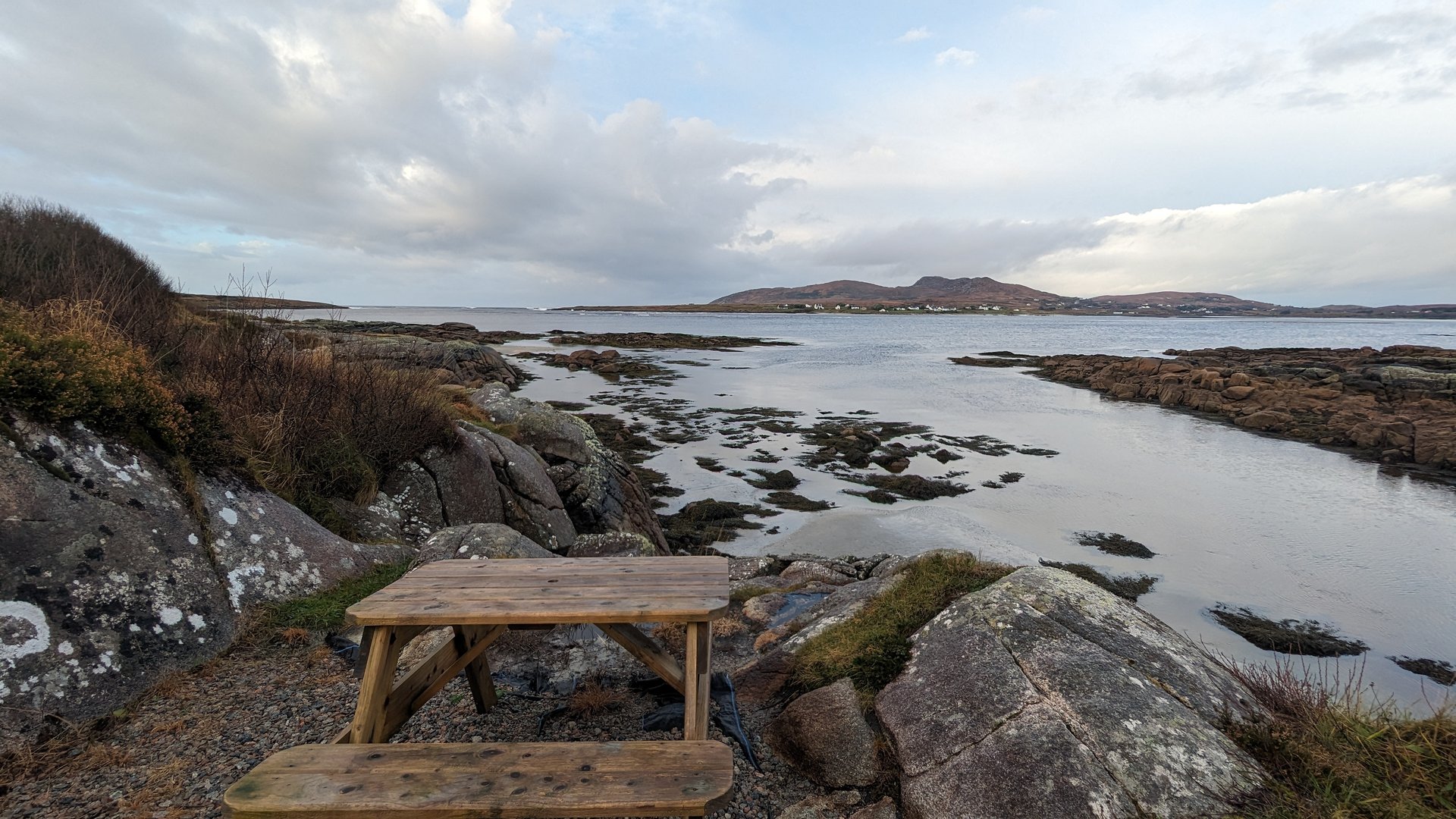
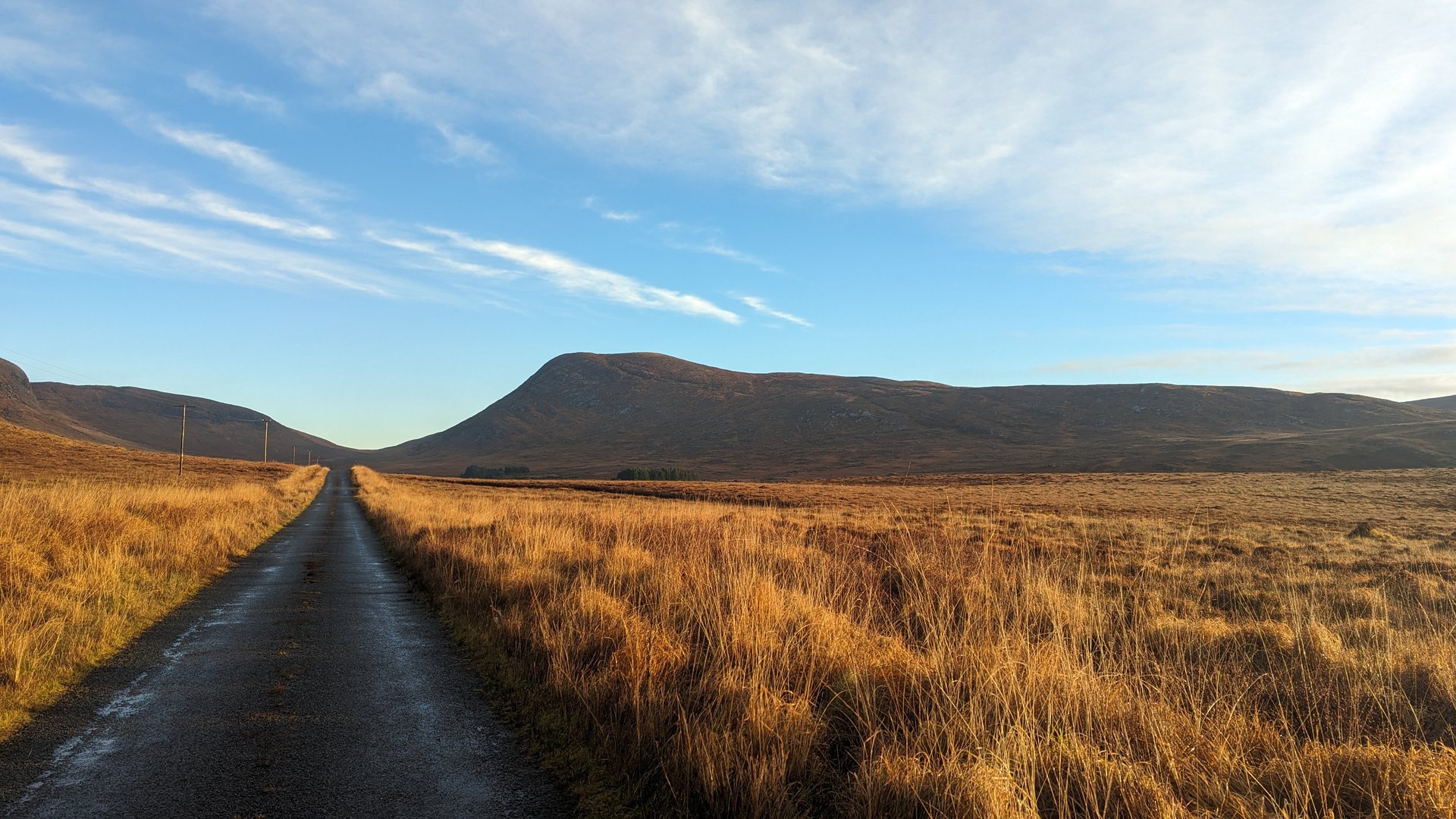
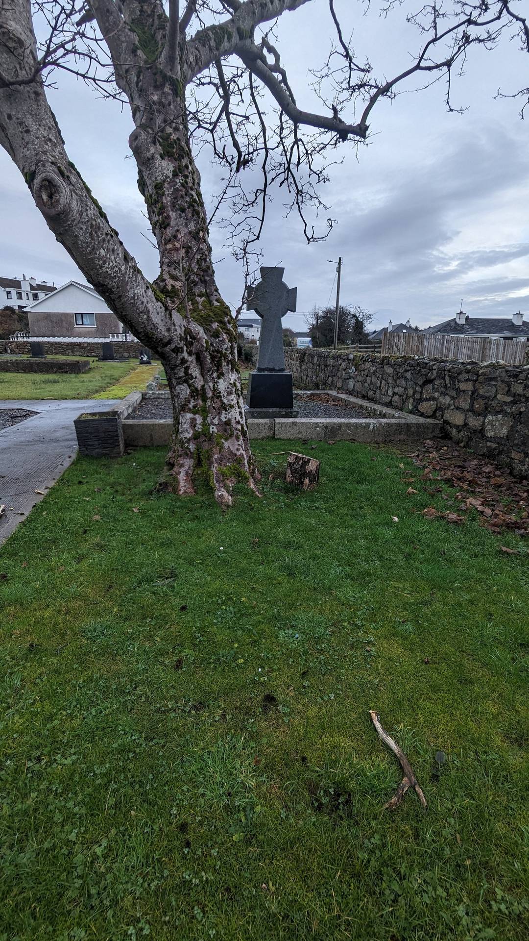
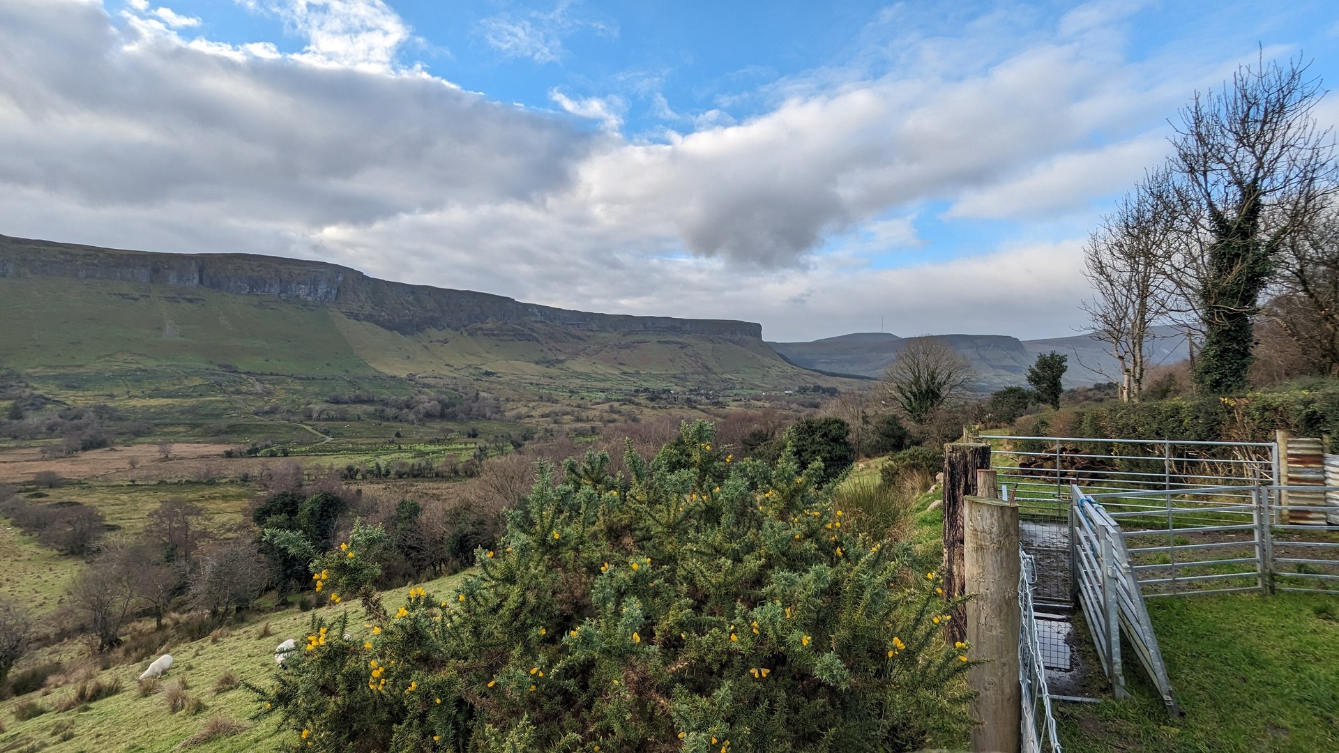
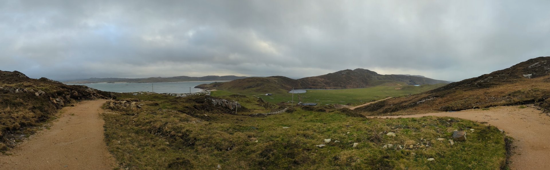
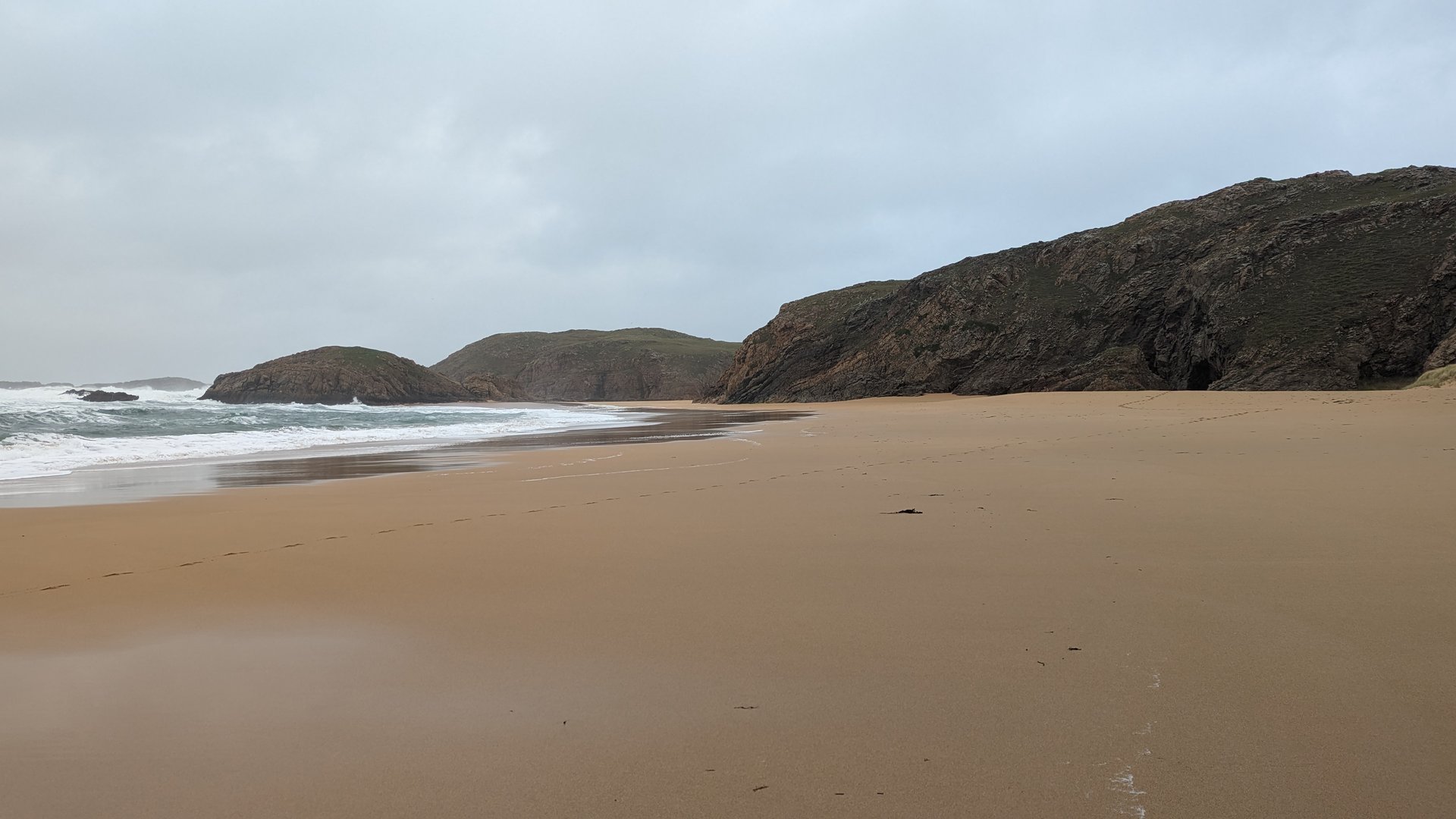
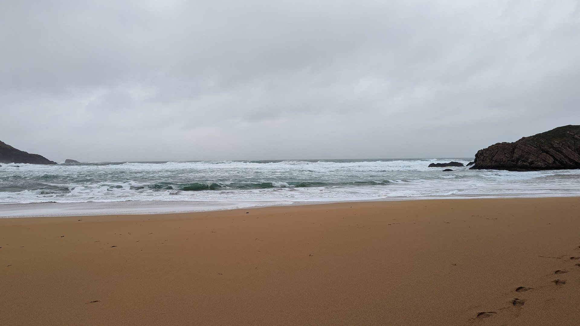
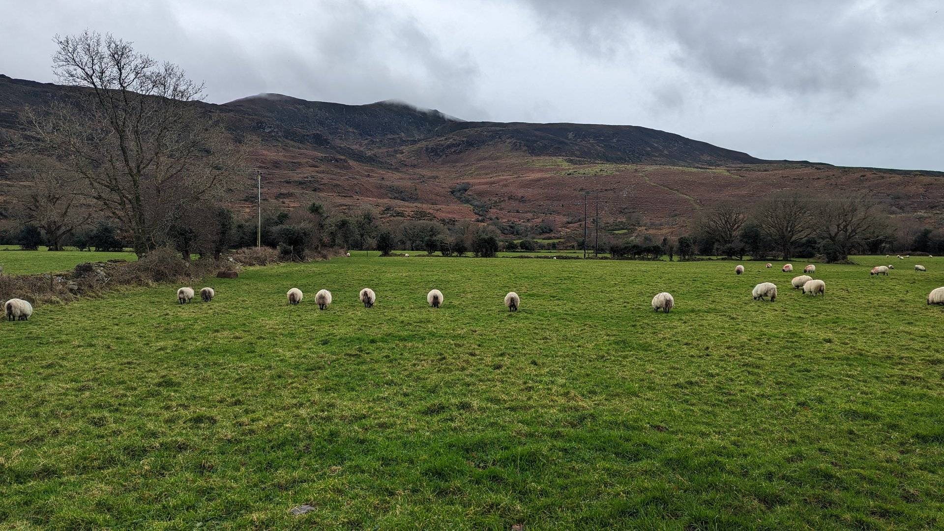
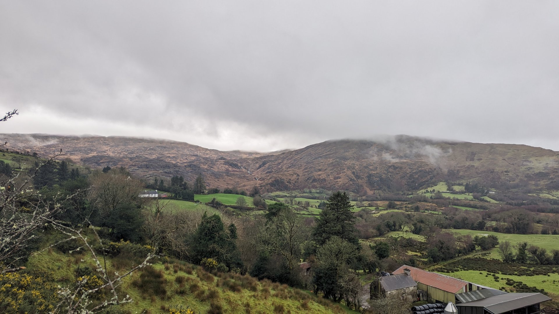
North Donegal: Dunlewy to Gortahork (125 km)

Monday, December 11, 2023

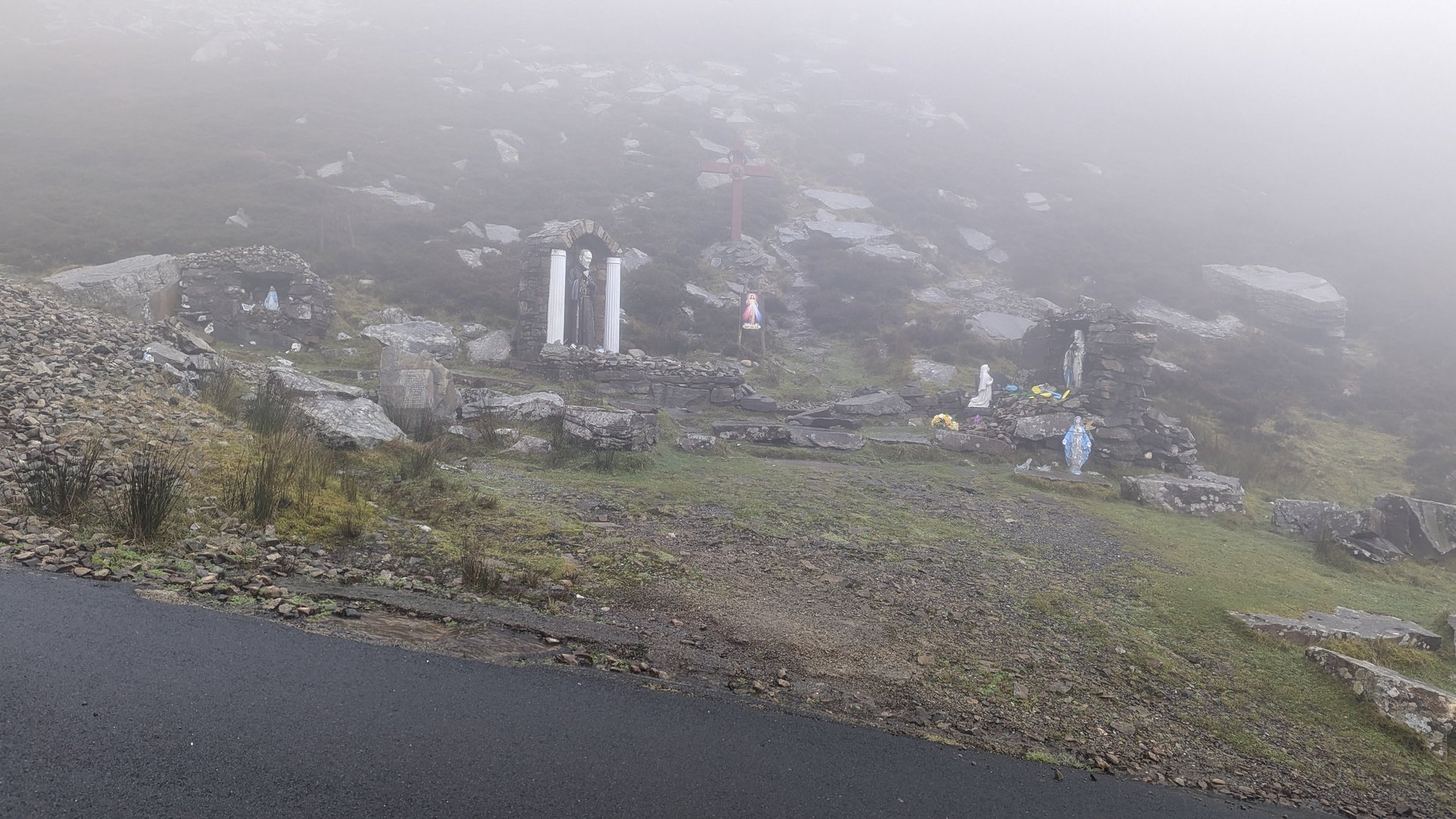
Exploring the mountainous interior and northern coast of Donegal, from Dunlewy at the foot of Mount Errigal through Gortahork and Magheraroarty before looping back via Annagary and Dunglow. Over 2,000 meters of climbing across 125 km of single-track roads.

Show full route (16 stops)
Lettermacaward, County Donegal Boyoughter, County Donegal Doocharry, County Donegal Dunlewy, County Donegal Church Hill, County Donegal Termon, County Donegal Gartan, County Donegal Cross Roads, County Donegal Gortahork, County Donegal Magheraroarty, County Donegal Meenaclady, County Donegal Knockfola, County Donegal Magheraclogher, County Donegal Annagary, County Donegal Dunglow, County Donegal Teach Owenie Bán
📊 Day Statistics 125km • 360 photos
Distance 125.0 km
Duration 4.4 hrs
Elevation Gain 2028 m
Photos 34

🗺️ Route Map

Day 12

Donegal to Midlands: Coast to Laois (489 km)

Tuesday, December 12, 2023

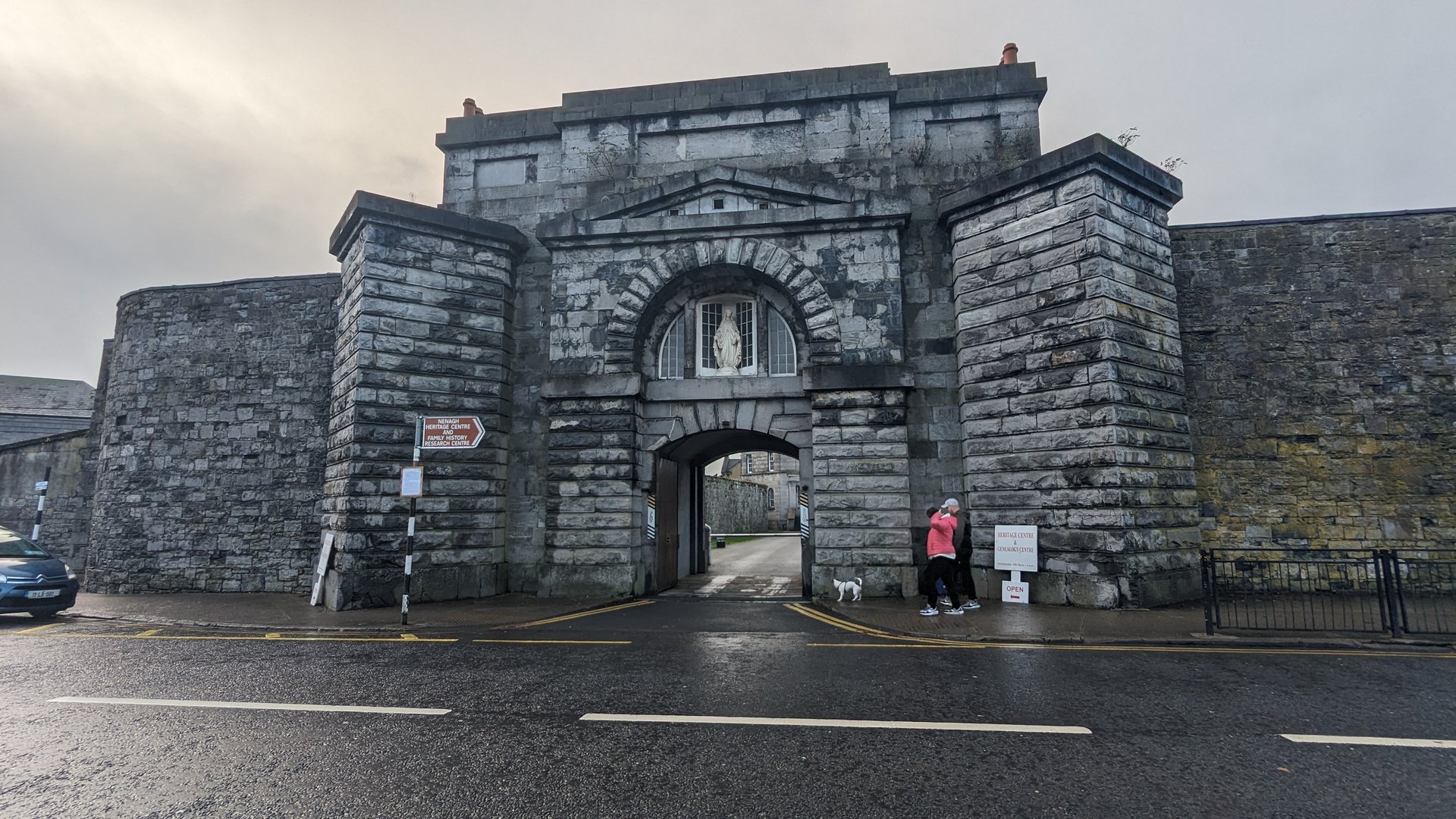
Another major transit day, 489 km from Lettermacaward south through the familiar Sligo-Galway corridor, continuing past Limerick and Nenagh in Tipperary to finish at Ballybrittas in County Laois. Over 4,500 meters of elevation gain crossing from the Atlantic coast deep into the Irish midlands.

Show full route (69 stops)
Lettermacaward, County Donegal Glenties, County Donegal Ardara, County Donegal Binbane, County Donegal Eanymore, County Donegal Turris Hill, County Donegal Donegal, County Donegal Laghy, County Donegal Ballintra, County Donegal Carrickboy, County Donegal Tullaghan, County Leitrim Cliffony North, County Sligo Cliffoney, County Sligo Lissadill North, County Sligo Carney, County Sligo Drumcliff East, County Sligo Shannon Eighter, County Sligo Sligo West, County Sligo Kilmacowen, County Sligo Collooney, County Sligo Carrickbanagher, County Sligo Temple, County Sligo Streamstown, County Sligo Tobercurry, County Sligo Achonry East, County Sligo Achonry West, County Sligo Kilbeagh, County Mayo Ballyhowly, County Mayo Ballindine, County Mayo Milltown, County Galway Doonbally, County Galway Killeen, County Galway Ballinderry, County Galway Kilmoylan, County Galway Belleville, County Galway Greethill, County Galway Stradbally, County Galway Castletaylor, County Galway Gort, County Galway Beagh, County Galway Crusheen, County Clare Kilraghtis, County Clare Ballaghboy, County Clare Newmarket, County Clare Urlan, County Clare McDonald's Clenagh, County Clare Drumline, County Clare Cratloe, County Clare Killeely, County Clare The Metropolitan District of Limerick City, County Limerick Daly's Cross, County Limerick Kilcomenty, County Tipperary Burgesbeg, County Tipperary Nenagh, County Tipperary Kilkeary, County Tipperary Ballymackey, County Tipperary Dunkerrin, County Offaly Rathnaveoge, County Tipperary Timoney, County Tipperary Borris-in-Ossory, County Laois Castletown, County Laois Mountrath, County Laois Clonkeen, County Laois Clondarrig, County Laois Sheffield Cross, County Laois Emo, County Laois Old Pound, County Laois Ballybrittas, County Laois
📊 Day Statistics 489km • 360 photos
Distance 488.6 km
Duration 12.8 hrs
Elevation Gain 4545 m
Photos 10

🗺️ Route Map

Day 13

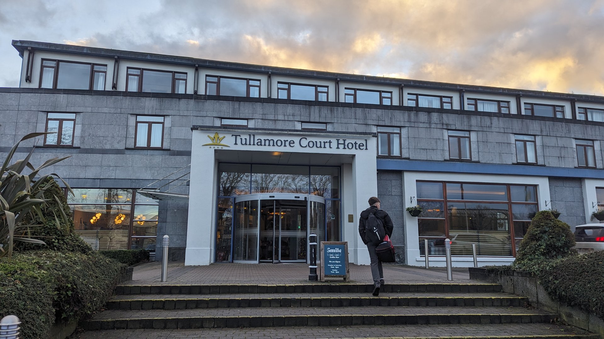
Midlands: Portarlington to Tullamore (71 km)

Wednesday, December 13, 2023

A slow day in the midlands covering 71 km over nearly nine hours between Portarlington in Laois and Tullamore in Offaly. The flat bog and farmland of central Ireland offered a contrast to the coastal terrain of the previous two weeks.

Show full route (10 stops)
Portarlington, County Laois Portarlington North, County Offaly Clonygowan, County Offaly Geashill, County Offaly Tullamore Court Hotel Tullamore, County Offaly Bridge House Hotel Cappancur, County Offaly Ulster Bank The Heritage
📊 Day Statistics 71km • 360 photos
Distance 71.2 km
Duration 8.8 hrs
Elevation Gain 1172 m
Photos 5

🗺️ Route Map

Day 14

Midlands to Donegal via Leitrim (312 km)

Thursday, December 14, 2023

Back to Donegal from the midlands, 312 km through Westmeath, Longford, and the Shannon corridor into Leitrim before crossing into Donegal via Kinlough and Ballintra. The route passed through Manorhamilton and the Glenade valley in Leitrim, finishing at Lettermacaward.

Show full route (52 stops)
Ballybrittas, County Laois Kilmullen, County Laois Portarlington, County Laois Ballyshear, County Offaly Raheenakeeran, County Offaly Ballaghassaan, County Offaly Ballycon, County Offaly Daingean, County Offaly Kilclonfert, County Offaly Ballykilmore, County Westmeath Clonfad, County Westmeath Belvidere, County Westmeath Owel, County Westmeath Woodland, County Westmeath Ballinalack, County Westmeath Kilsallagh, County Longford Tinnynarr, County Longford Cooleeny, County Longford Aghadegnan, County Longford Minard, County Longford Deerpark, County Longford Newtown Forbes, County Longford Roosky, County Leitrim Annaduff, County Leitrim Drumsna, County Leitrim Gowel, County Leitrim Leitrim, County Leitrim Aghafin, County Roscommon Saint Patrick's, County Leitrim Drumkeeran, County Leitrim Belhavel, County Leitrim Cloonlogher, County Leitrim Manorhamilton, County Leitrim Lurganboy, County Leitrim Glenade, County Leitrim Aghalateeve, County Leitrim Kinlough, County Leitrim Rossinver East, County Sligo Tullaghan, County Leitrim Carrickboy, County Donegal Cavangarden, County Donegal Ballintra, County Donegal Laghy, County Donegal Tullynaught, County Donegal Donegal, County Donegal Mountcharles, County Donegal Tantallon, County Donegal Bonnyglen, County Donegal Binbane, County Donegal Glenties, County Donegal Ardara, County Donegal Lettermacaward, County Donegal
📊 Day Statistics 312km • 360 photos
Distance 311.6 km
Duration 9.0 hrs
Elevation Gain 2634 m
Photos 16

🗺️ Route Map

Day 15

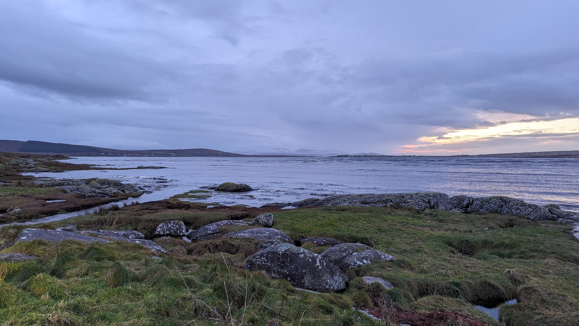
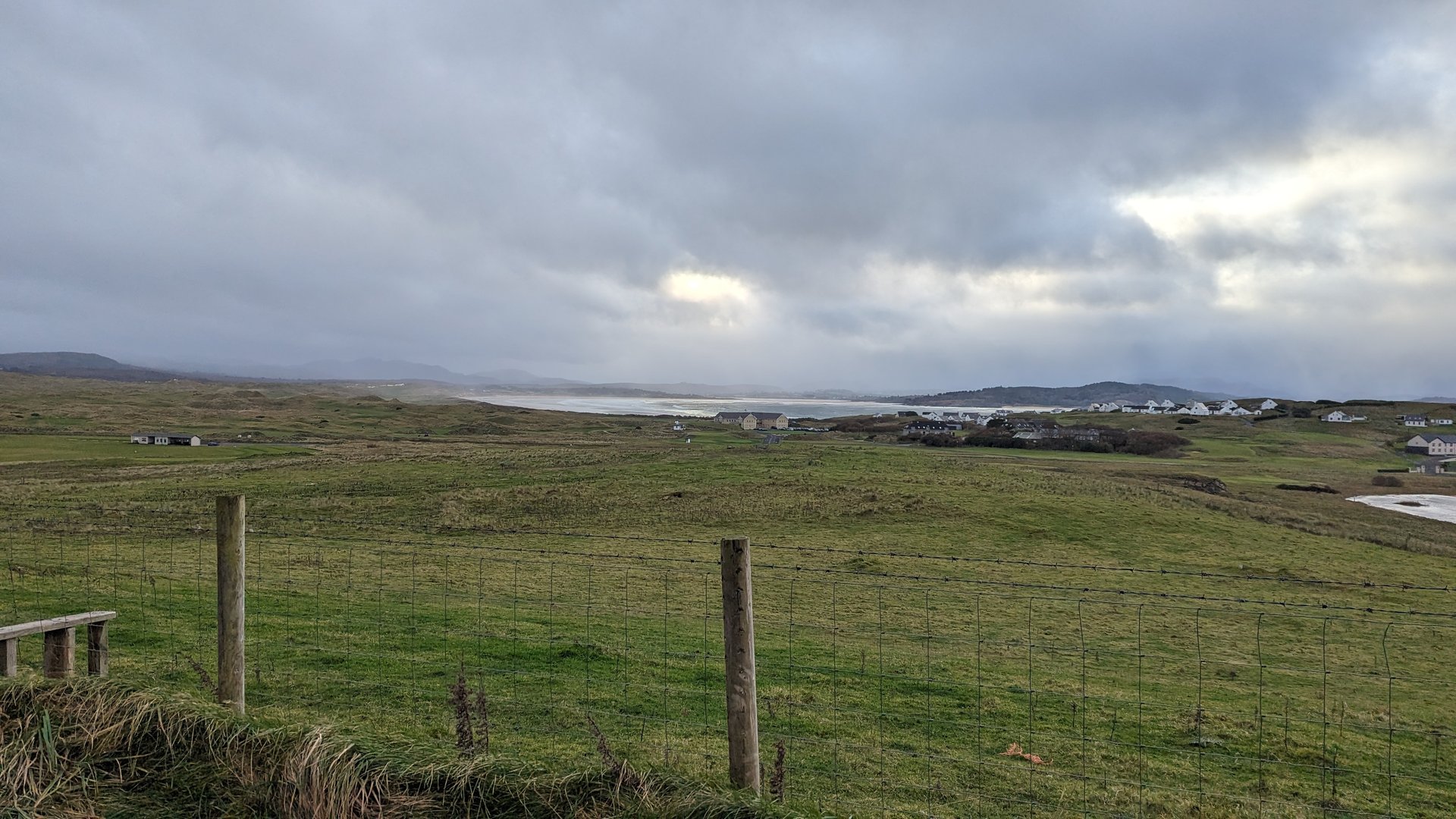
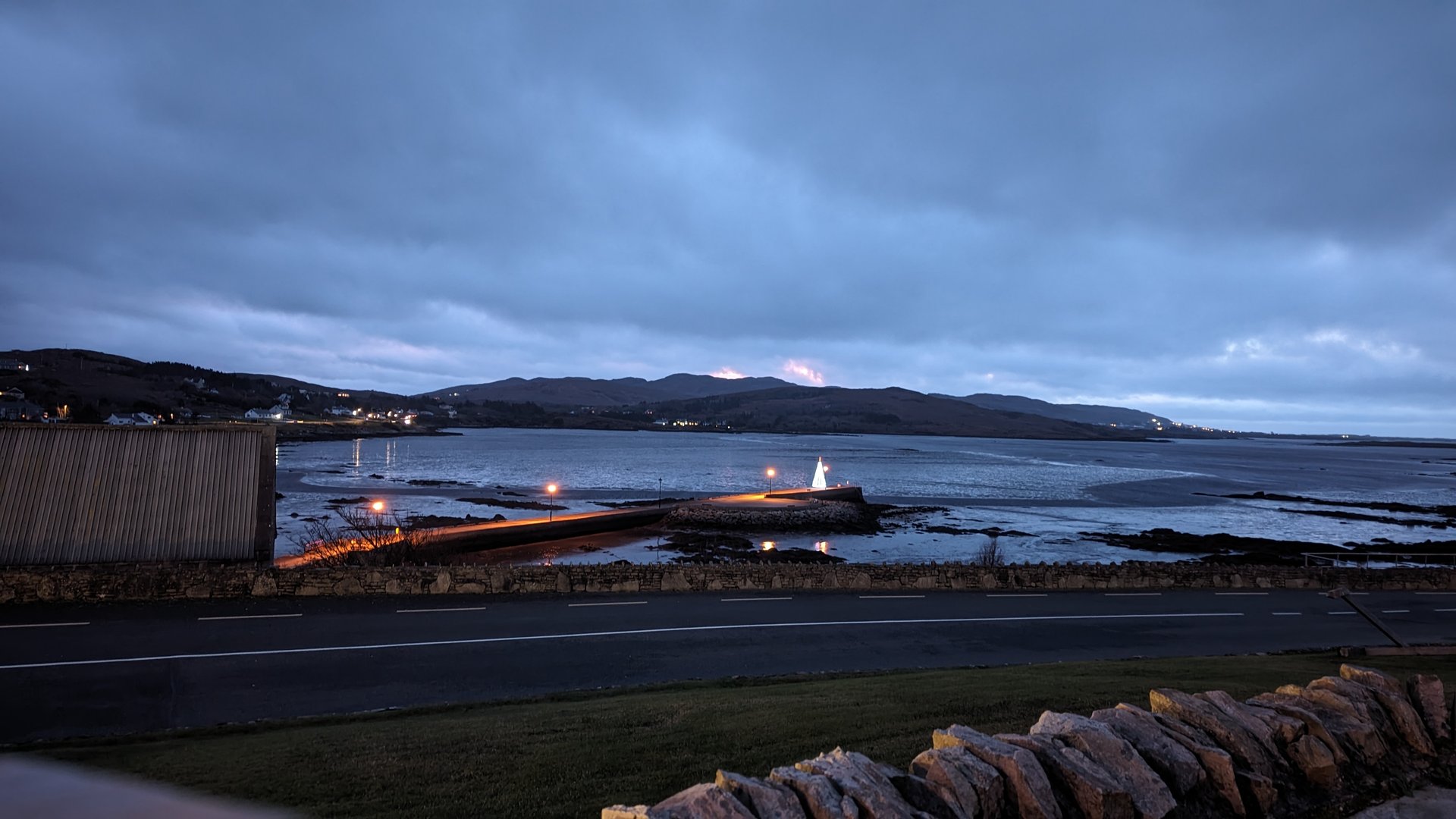
West Donegal: Glenties to Ardara (45 km)

Friday, December 15, 2023

Another short day in west Donegal, 45 km between Lettermacaward, Glenties, and Ardara with a detour to Dawros on the coast. Despite the low mileage, 1,120 meters of elevation gain reflected the constant hills of the Donegal interior.

Show full route (10 stops)
Lettermacaward, County Donegal Boyoughter, County Donegal Glenties, County Donegal Maas, County Donegal Dawros, County Donegal Ardara, County Donegal Brae House B&B The Bridge Bar Nancy's Great Wall
📊 Day Statistics 44km • 360 photos
Distance 44.5 km
Duration 6.1 hrs
Elevation Gain 1120 m

🗺️ Route Map

Day 16

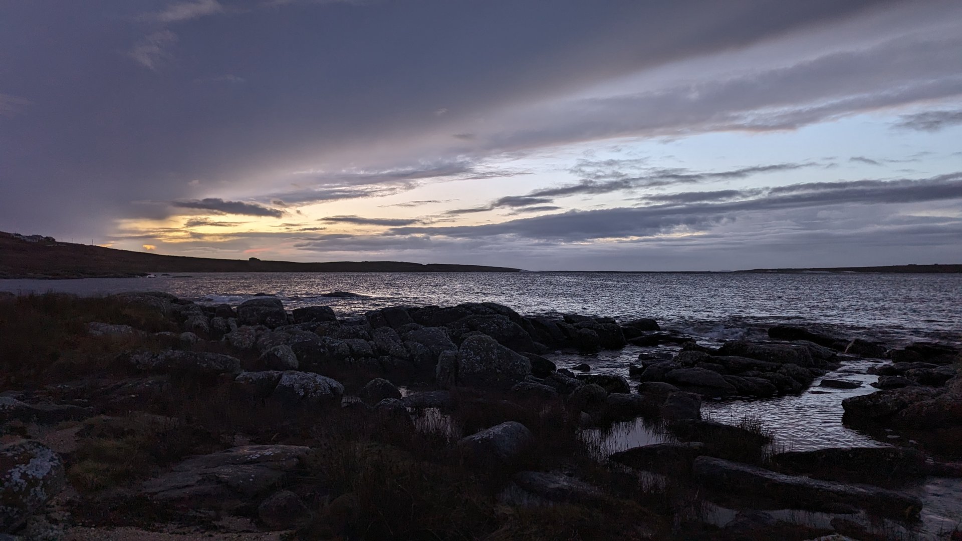
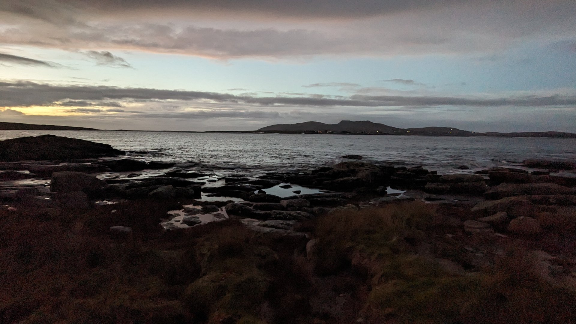
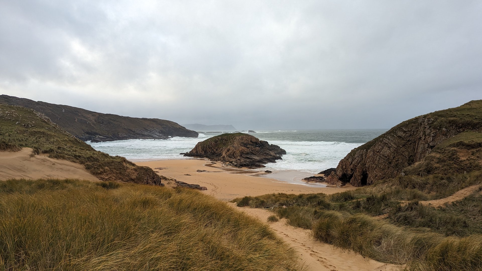
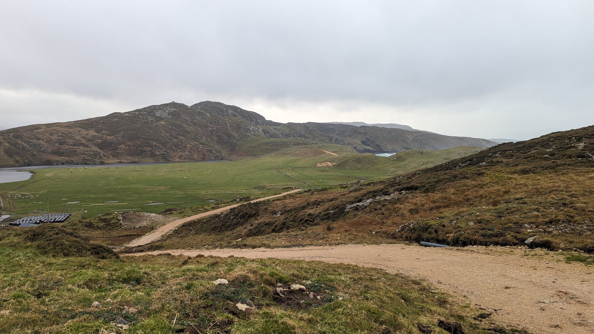
Donegal Peninsulas: Rosguill Loop (175 km)

Saturday, December 16, 2023

A circuit of the Rosguill Peninsula in north Donegal, reaching Doe Castle and Carrickart before rounding the headland at Ards. The 175 km route also passed through Gortahork and Dunlewy, accumulating 2,900 meters of climbing on Donegal's exposed Atlantic peninsulas.

Show full route (20 stops)
Lettermacaward, County Donegal Boyoughter, County Donegal Drumlaghdrid, County Donegal Dunglow, County Donegal Teach Owenie Bán Annagary, County Donegal Magheraclogher, County Donegal Gortahork, County Donegal Dunlewy, County Donegal Cross Roads, County Donegal Creenasmear, County Donegal Creeslough, County Donegal Doe Castle, County Donegal Glen, County Donegal Carrickart, County Donegal Rosguill, County Donegal Ards, County Donegal McCafferty's Bar and Restaurant Crovehy, County Donegal Cloghbolie, County Donegal
📊 Day Statistics 175km • 360 photos
Distance 174.8 km
Duration 6.6 hrs
Elevation Gain 2900 m
Photos 16

🗺️ Route Map

Day 17

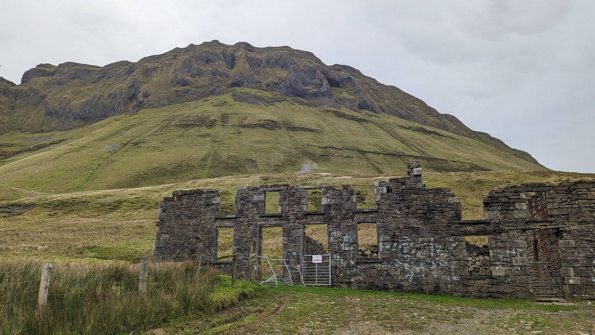
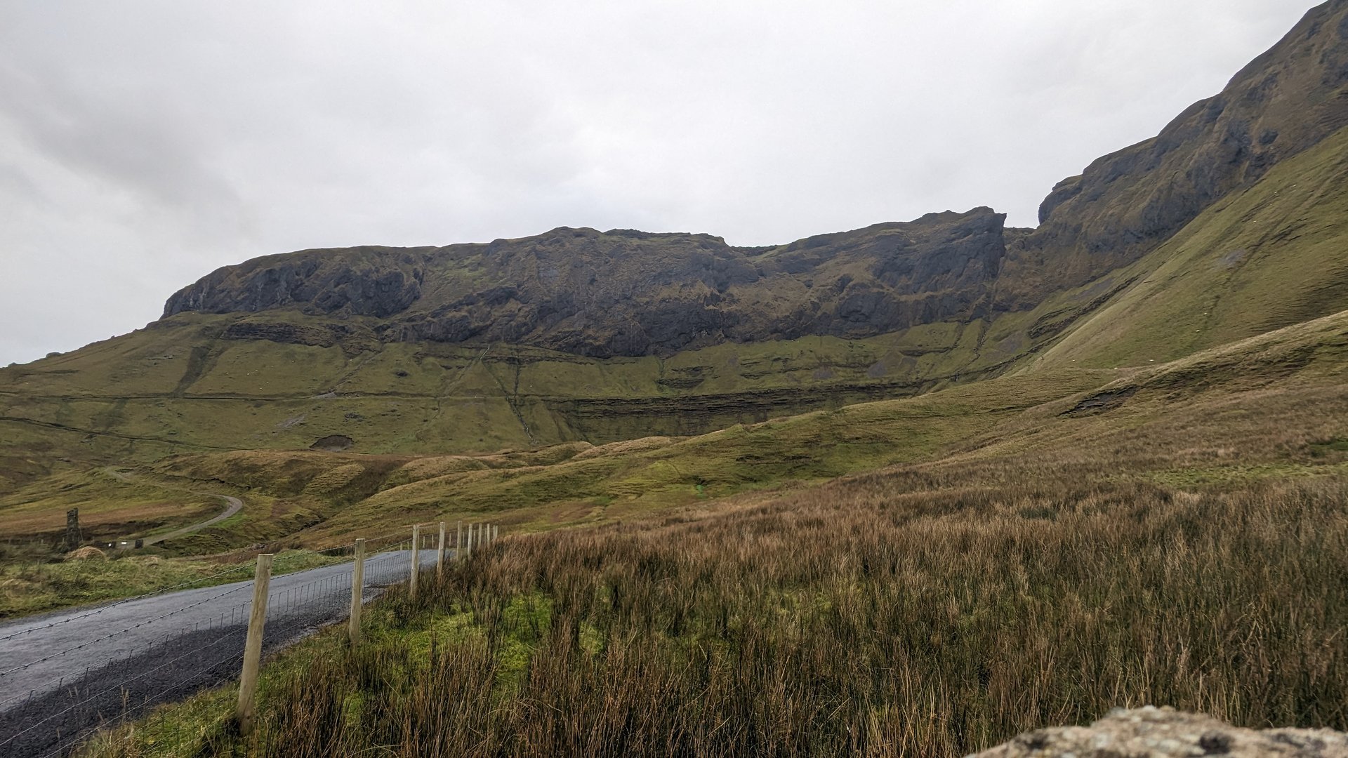
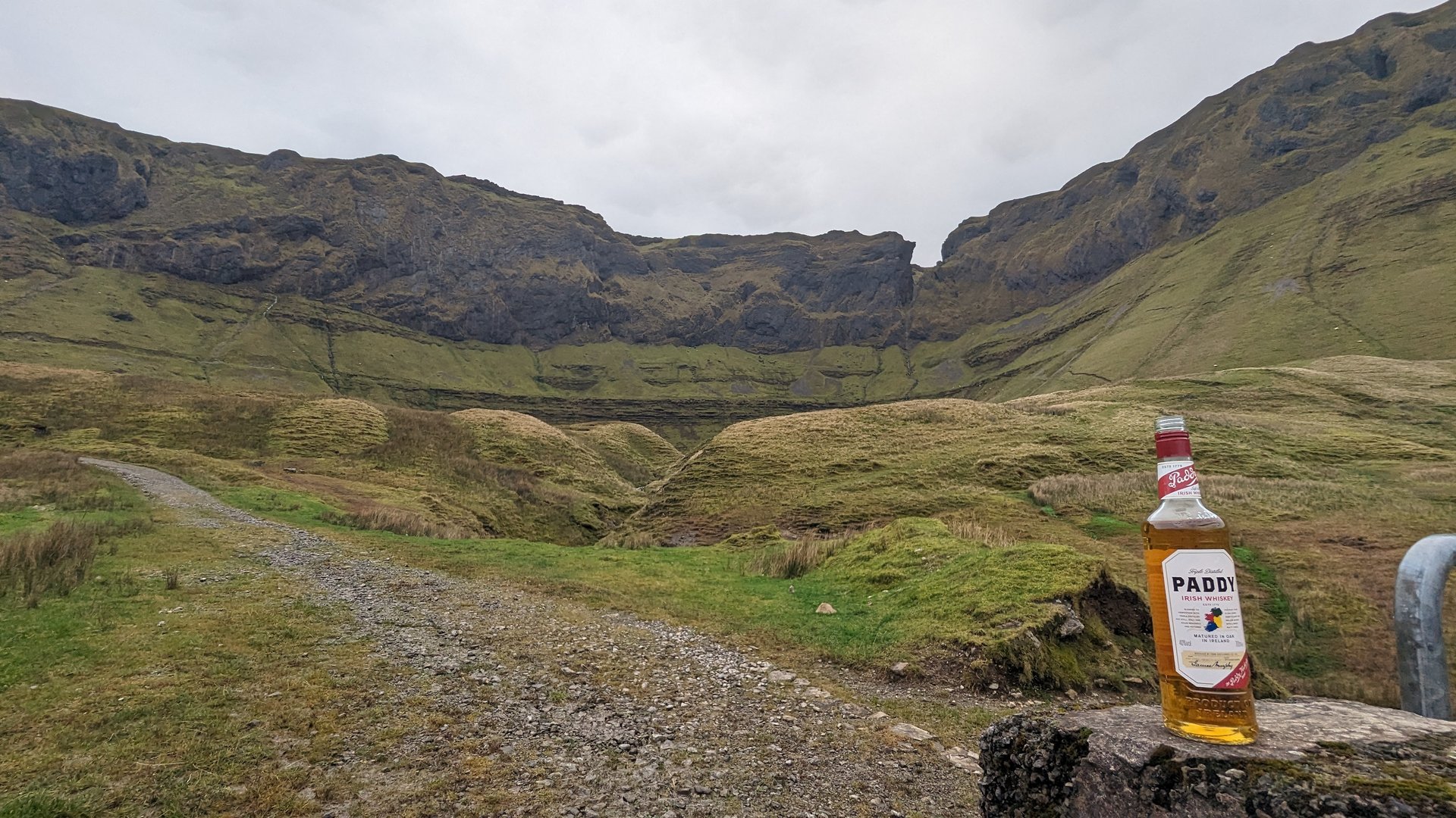
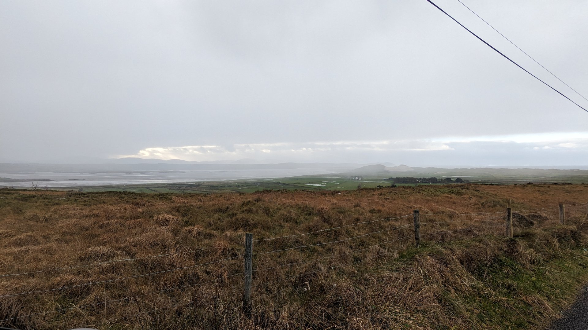
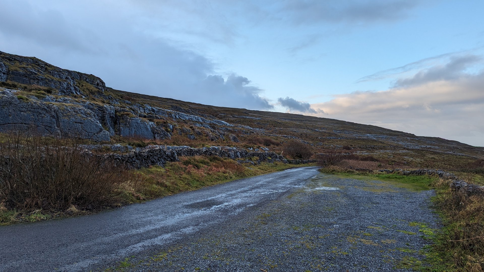
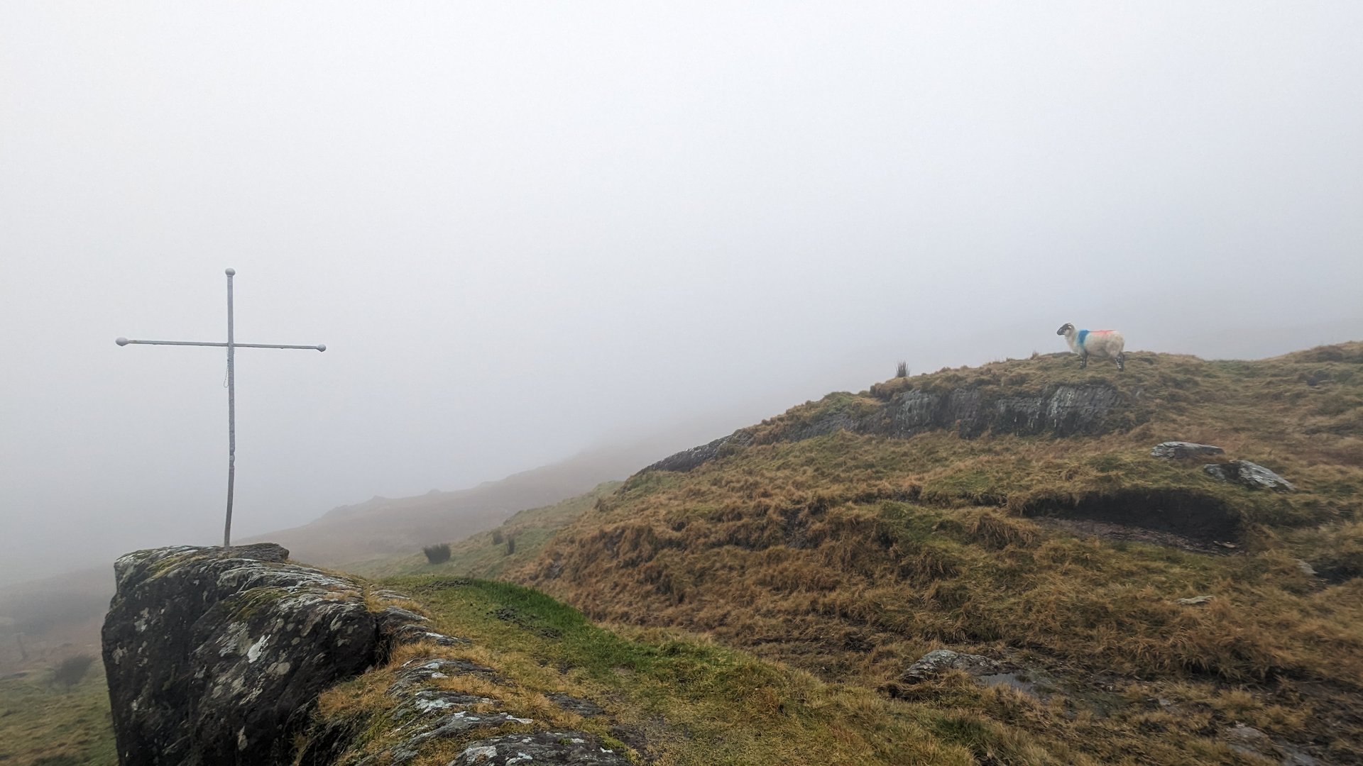
Donegal to Burren: Ardara to Lisdoonvarna (318 km)

Sunday, December 17, 2023

Leaving Donegal for the last time, 318 km south through Sligo and Galway to the Burren in north Clare. The route passed through Galway city and along the south Galway coast at Kinvarra before entering the limestone karst landscape of the Burren, finishing at Lisdoonvarna.

Show full route (47 stops)
Ardara, County Donegal Binbane, County Donegal Eanymore, County Donegal Tantallon, County Donegal Donegal, County Donegal Laghy, County Donegal Ballintra, County Donegal Cavangarden, County Donegal Carrickboy, County Donegal Cliffony North, County Sligo Cliffony South, County Sligo ESB ecars Rossinver West, County Sligo Drumcliff West, County Sligo Drumcliff East, County Sligo Sligo West, County Sligo Kilmacowen, County Sligo Collooney, County Sligo Annagh, County Sligo Temple, County Sligo Streamstown, County Sligo Tobercurry, County Sligo Achonry East, County Sligo Kilbeagh, County Mayo Ballindine, County Mayo Milltown, County Galway Killeen, County Galway Claretuam, County Galway Annaghdown, County Galway Claregalway, County Galway Castlegar, County Galway Mervue, County Galway Ballybaan, County Galway Oranmore, County Galway Clarinbridge, County Galway Kilcolgan, County Galway Drumacoo, County Galway Killeenavarra, County Galway Kinvarra, County Galway Oughtmama, County Clare Abbey, County Clare Drumcreehy, County Clare Gleninagh, County Clare Derreen, County Clare Lurraga, County Clare Cloghaun, County Clare Lisdoonvarna, County Clare
📊 Day Statistics 318km • 360 photos
Distance 318.2 km
Duration 6.5 hrs
Elevation Gain 2783 m

🗺️ Route Map

Day 18

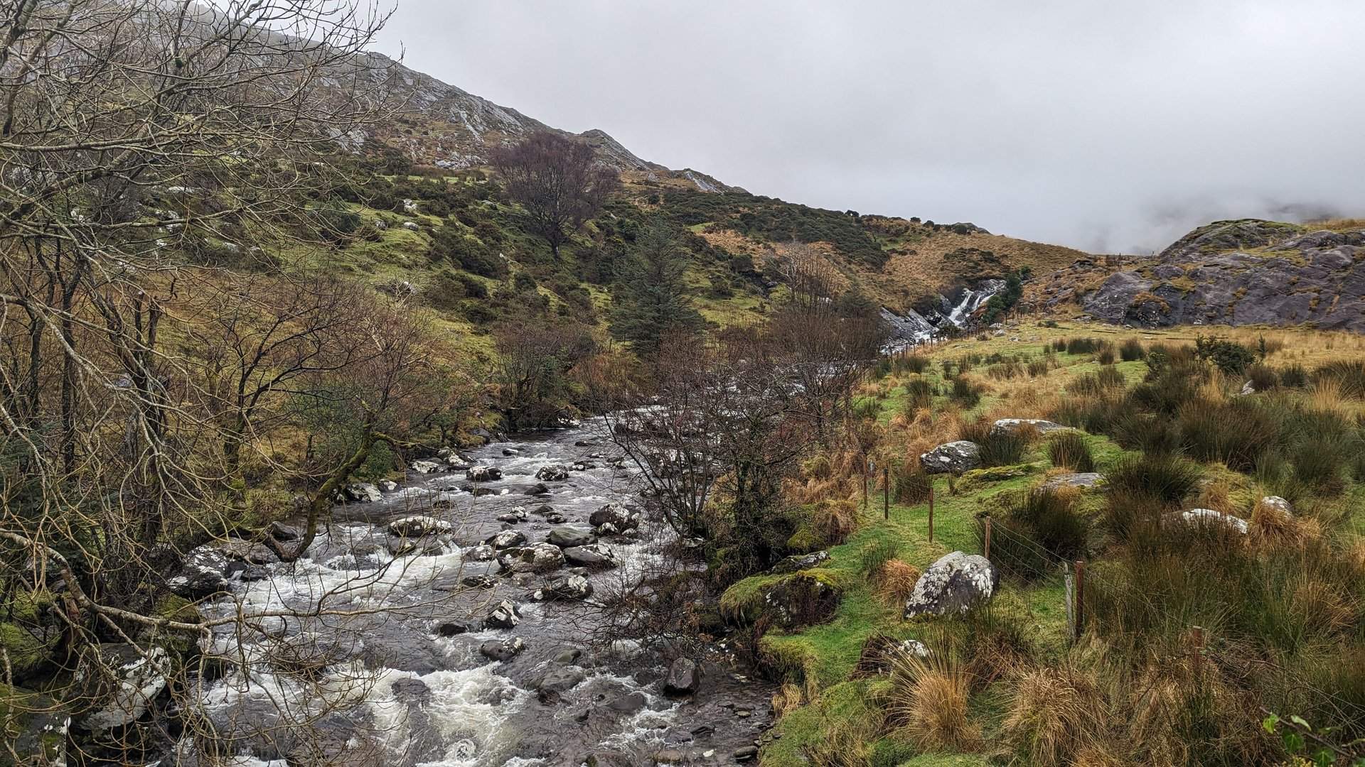
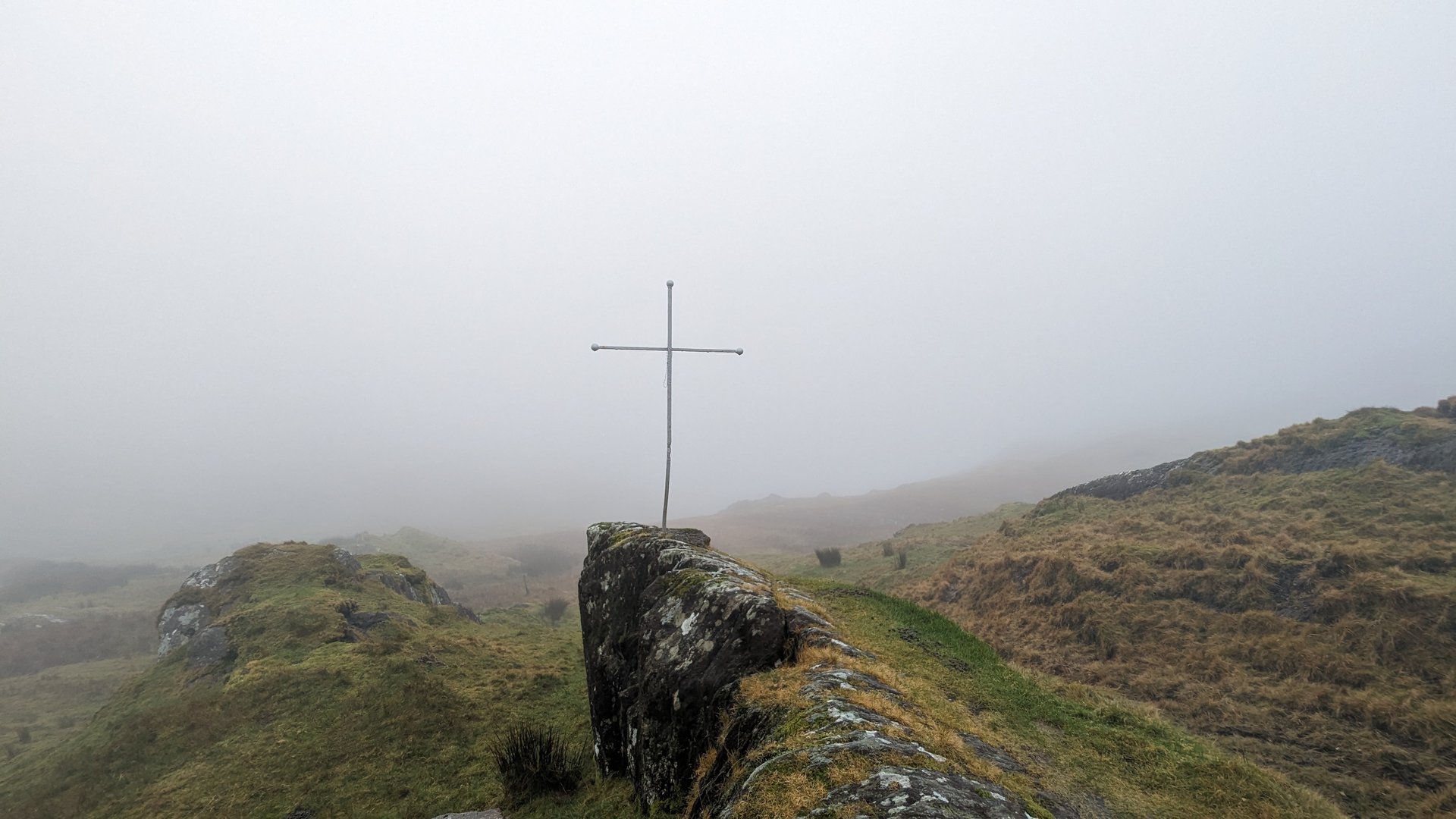
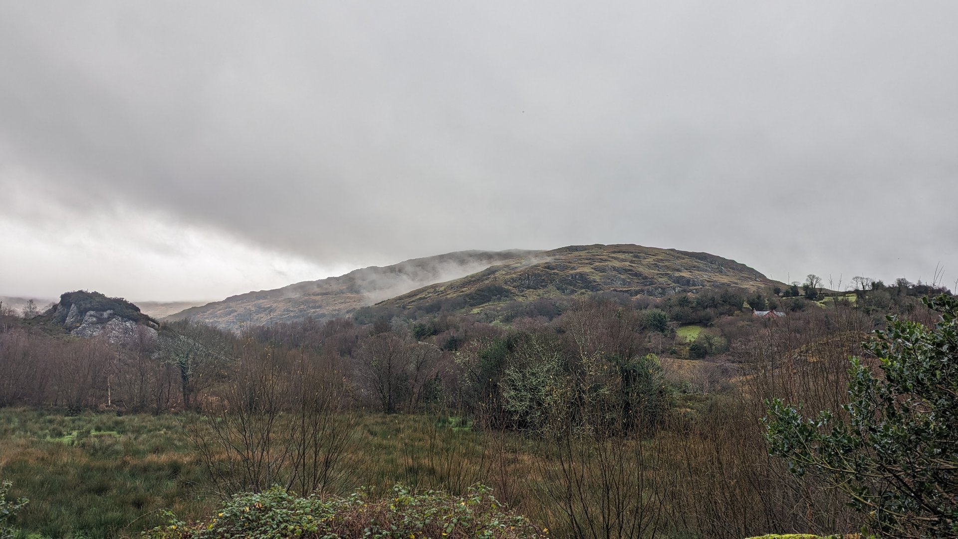
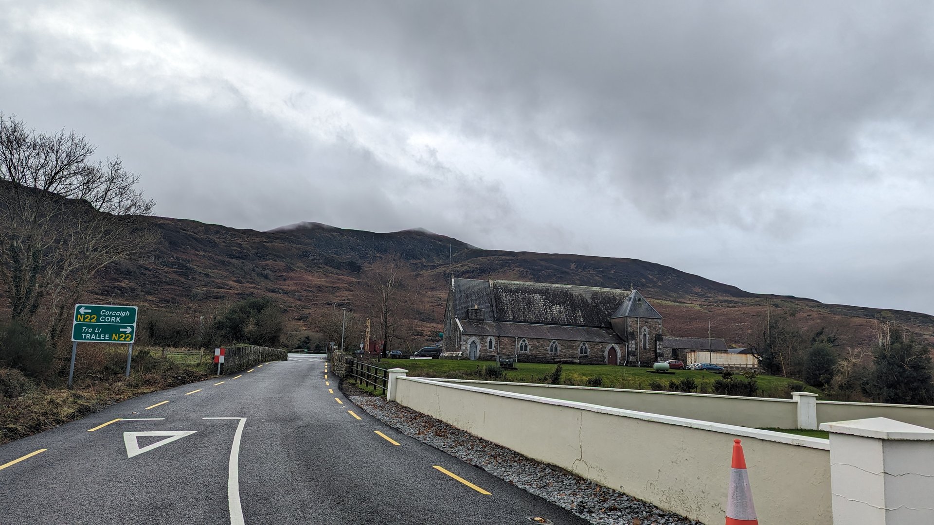
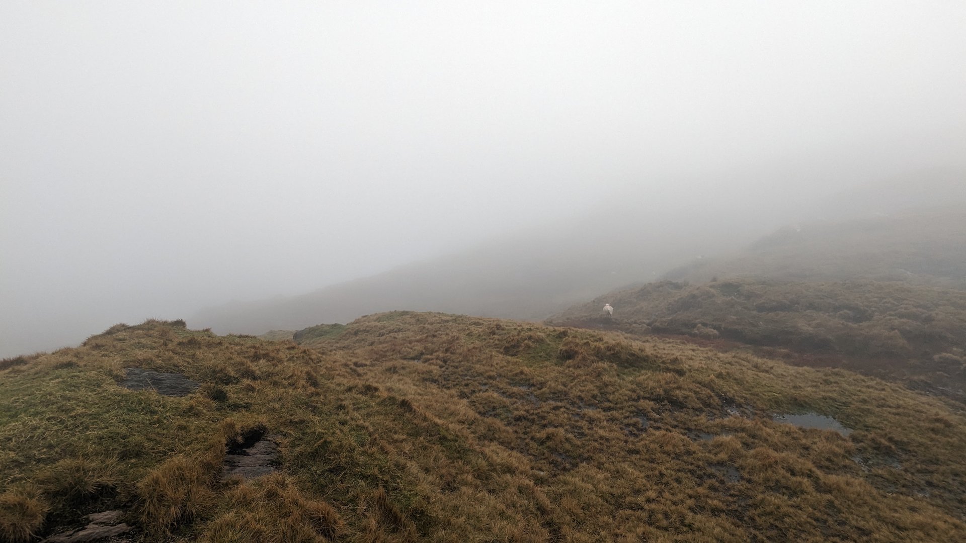
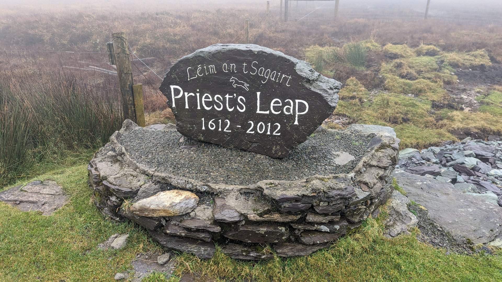
Clare, Kerry & Cork Loop (492 km)

Monday, December 18, 2023

The final driving day: a 492 km loop from Clare south through Limerick into north Cork, then west to Kenmare in Kerry and over the Caha Pass to Glengarriff in Cork before returning north. Over 5,000 meters of climbing, passing through the mountainous Kerry-Cork border country on the last day of the trip.

Show full route (63 stops)
Derreen, County Clare Cloghaun, County Clare Lisdoonvarna, County Clare Kilfenora, County Clare Kiltoraght, County Clare Killinaboy, County Clare Corofin, County Clare Ruan, County Clare Templemaley, County Clare Doora, County Clare Newmarket, County Clare Clenagh, County Clare Drumline, County Clare Cratloe, County Clare The Metropolitan District of Limerick City, County Limerick Dunnaman, County Limerick Croom, County Limerick Rockhill, County Limerick Colmanswell, County Limerick Rathluirc, County Cork Milltown, County Cork Dromina, County Cork Allow, County Cork Barleyhill, County Cork Newmarket, County Cork Ballyhoolahan, County Cork Skagh, County Cork Cullen, County Cork Knocknagree, County Cork Rathmore, County Kerry Headfort, County Kerry Brewsterfield, County Kerry Clydagh, County Kerry Flesk, County Kerry Kilgarvan, County Kerry Cappagh, County Kerry Kenmare, County Kerry Banawn, County Kerry Glengarriff, County Cork Kealkill, County Cork Douce, County Cork Bealanageary, County Cork Cleanrath, County Cork Derryfineen, County Cork Kilnamartery, County Cork Clondrohid, County Cork Coomlogane, County Cork Drishane, County Cork Rathcool, County Cork Rosnalee, County Cork Dromagh, County Cork Coolclogh, County Cork Kanturk, County Cork Bawncross, County Cork Clareabbey, County Clare Kilnamona, County Clare Ballyea, County Clare Clooney, County Clare Ennistimon, County Clare Kilshanny, County Clare Lurraga, County Clare Fitz's Cross, County Clare Killilagh, County Clare
📊 Day Statistics 492km • 360 photos
Distance 492.3 km
Duration 11.3 hrs
Elevation Gain 5069 m
Photos 30

🗺️ Route Map

Journey Details