Ireland Road Trip - January 2025
December 30, 2024 – January 16, 2025 • 17 days
17-day winter Ireland road trip covering 5,144 km in January 2025 — Galway, the Burren, Beara Peninsula, Ring of Kerry, Dingle, and Donegal with daily maps, GPX tracks, and video.
About This Trip
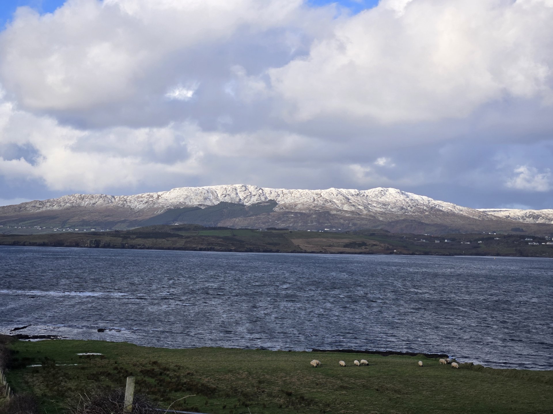
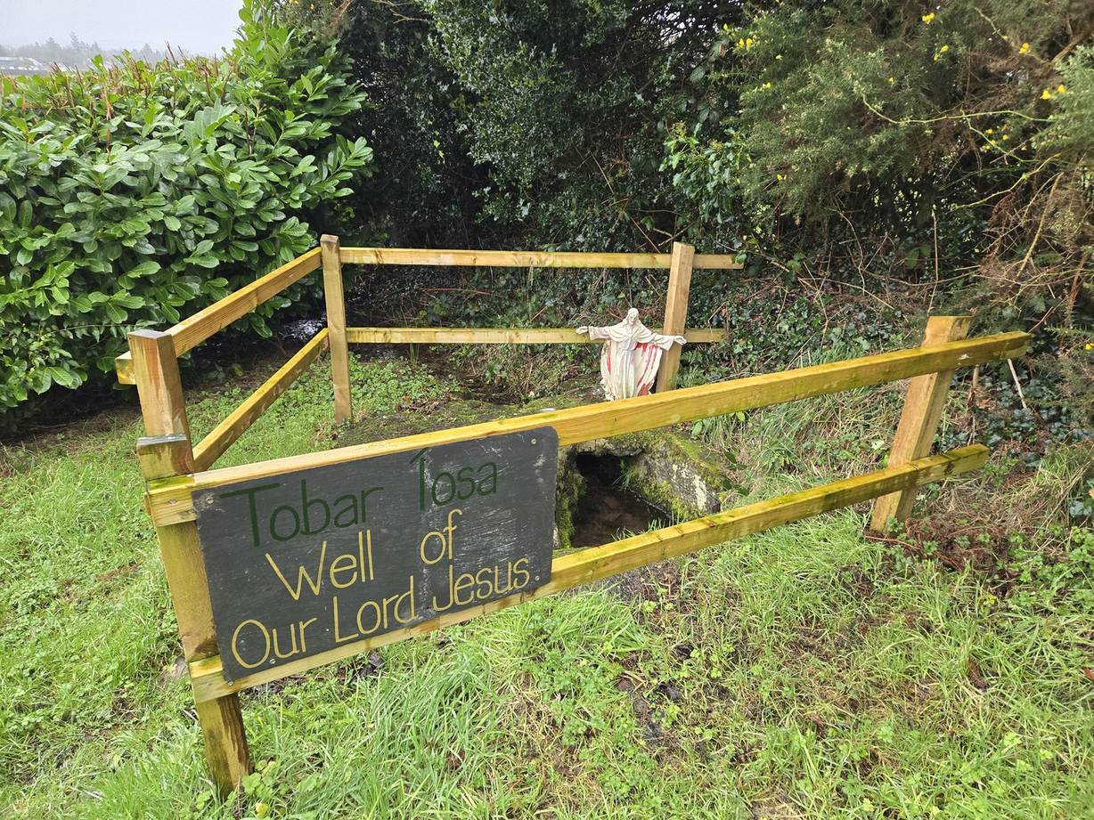
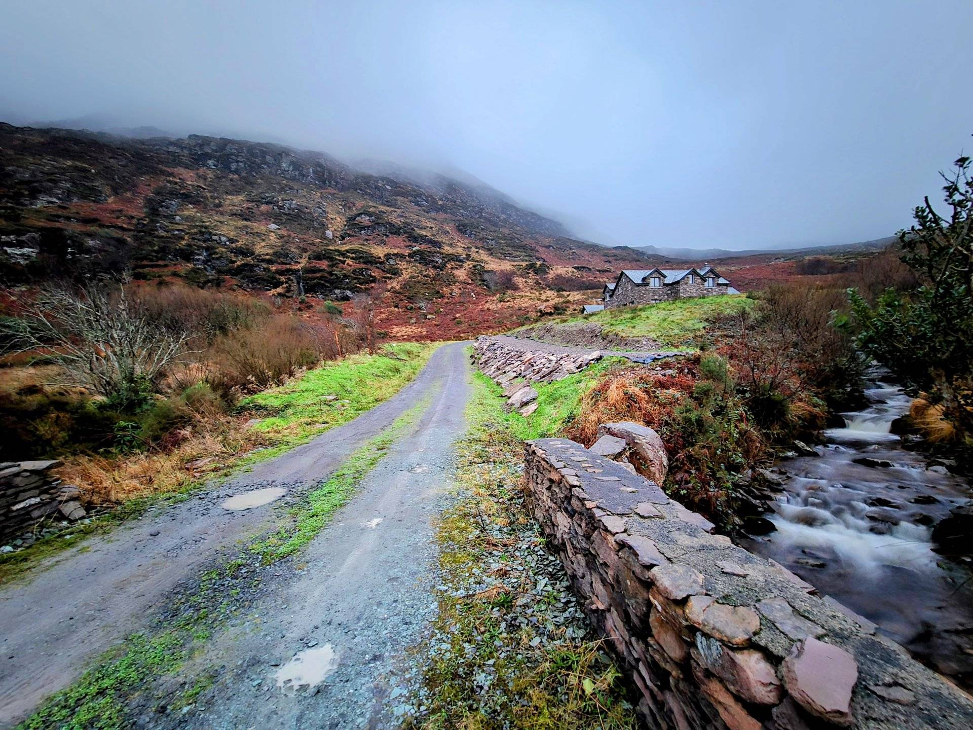
17 days covering 5,144 km across Ireland in winter — the longest single trip in the GoMoveShift library at over 300 km per day. Flew into Ireland and started from Galway, driving north to Donegal before basing out of the Glenade/Kinlough/Leitrim area for a week of day-trips radiating into Sligo, Mayo, and Donegal. Then drove cross-country south to Waterford, finishing with Kerry’s Skellig coast, Dingle Peninsula, and Beara.
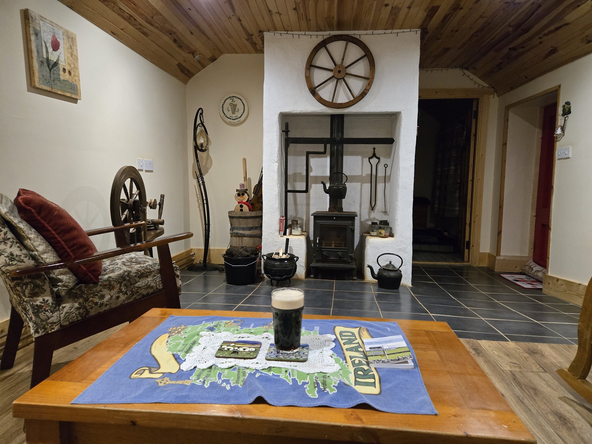
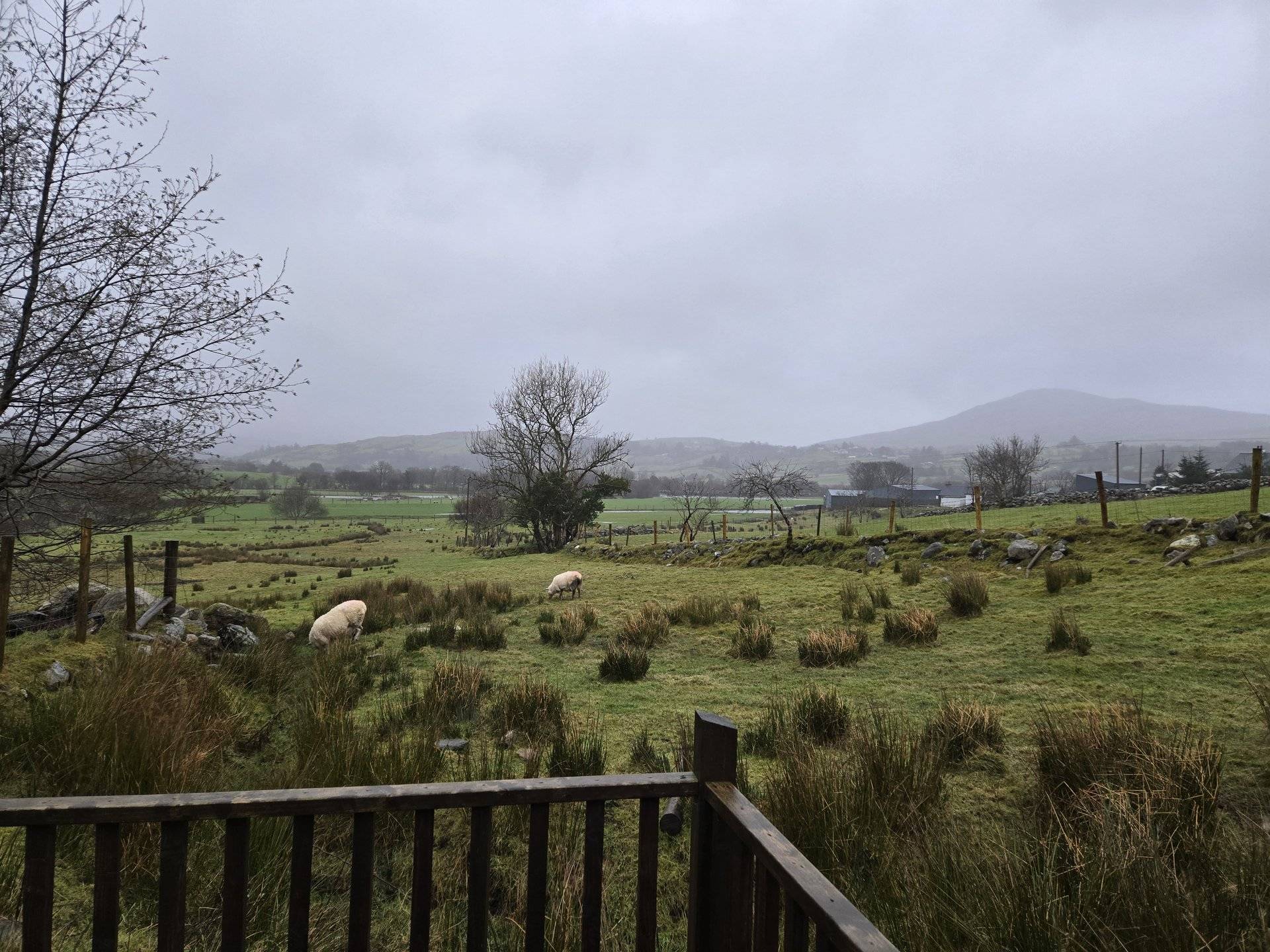
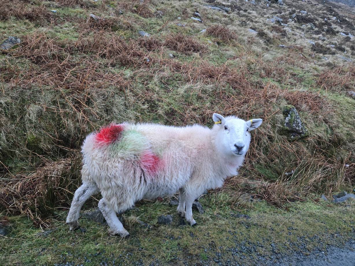
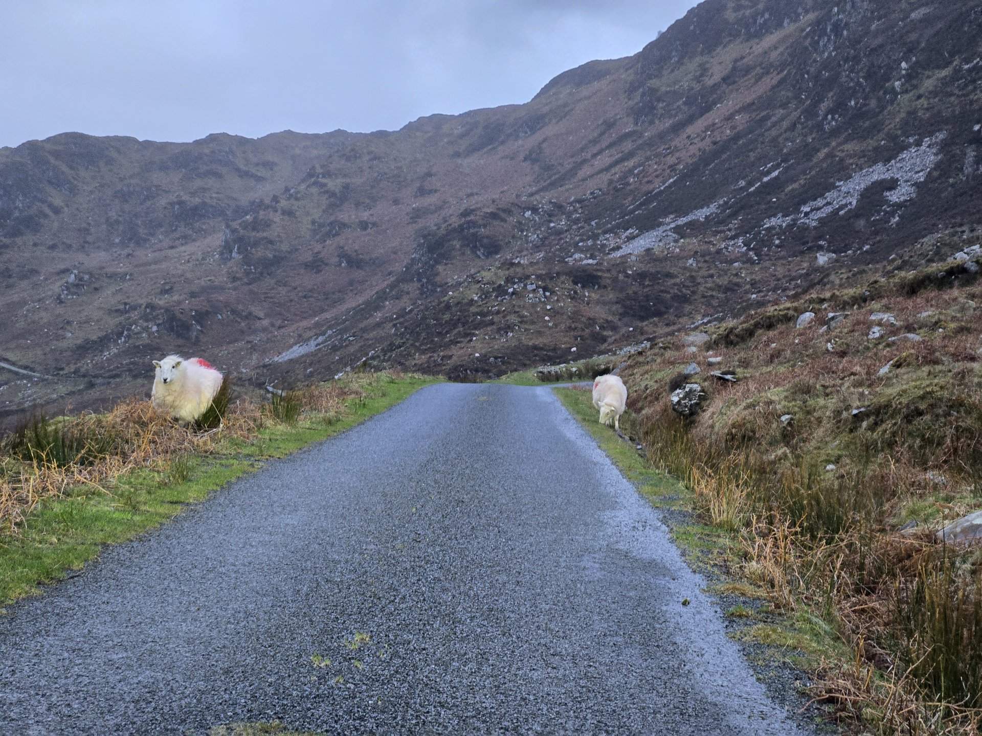
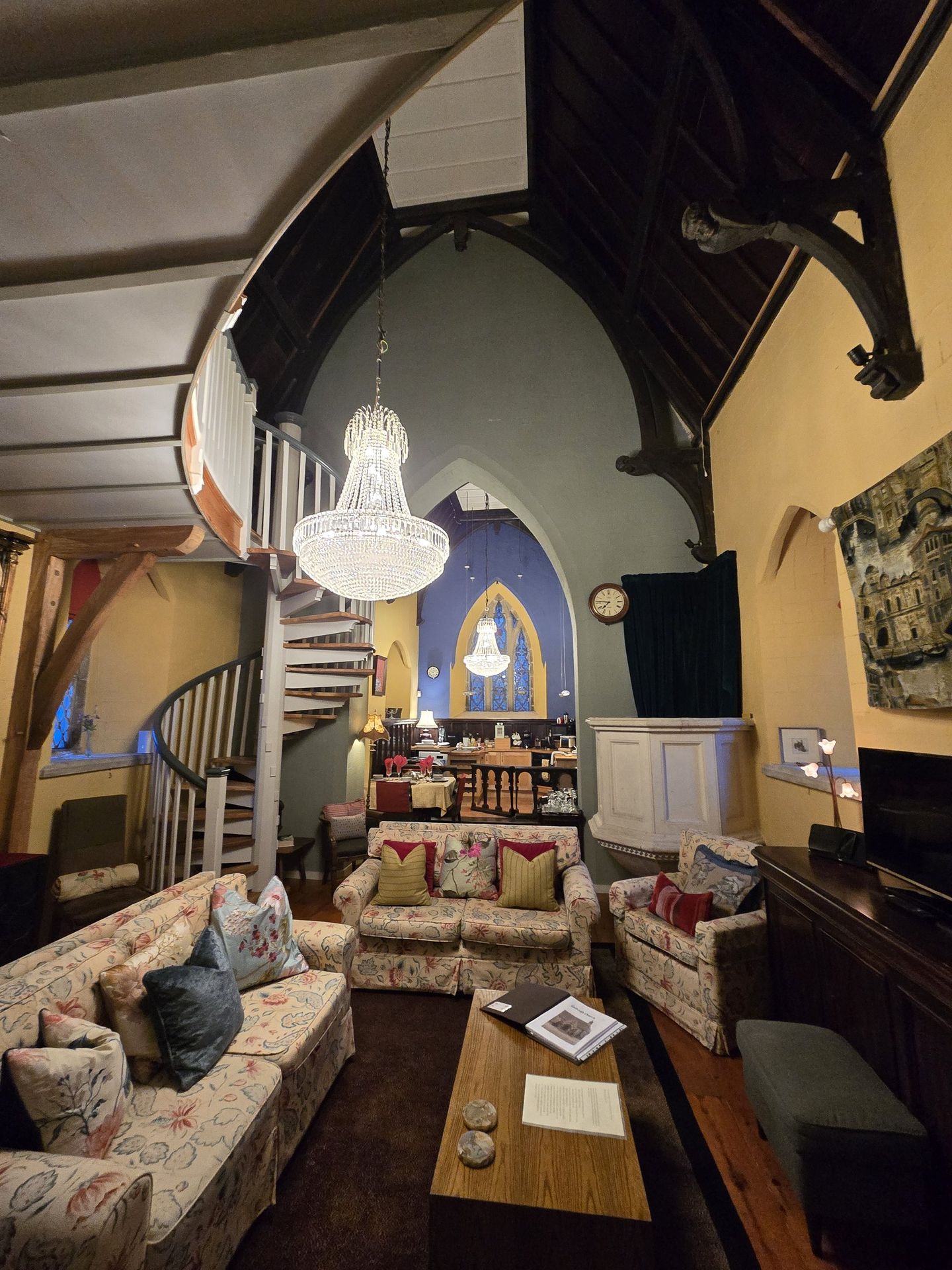
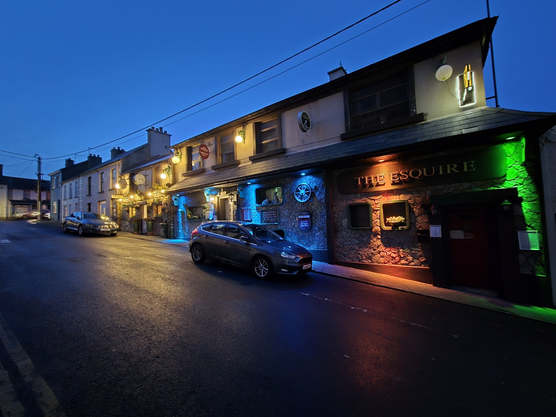
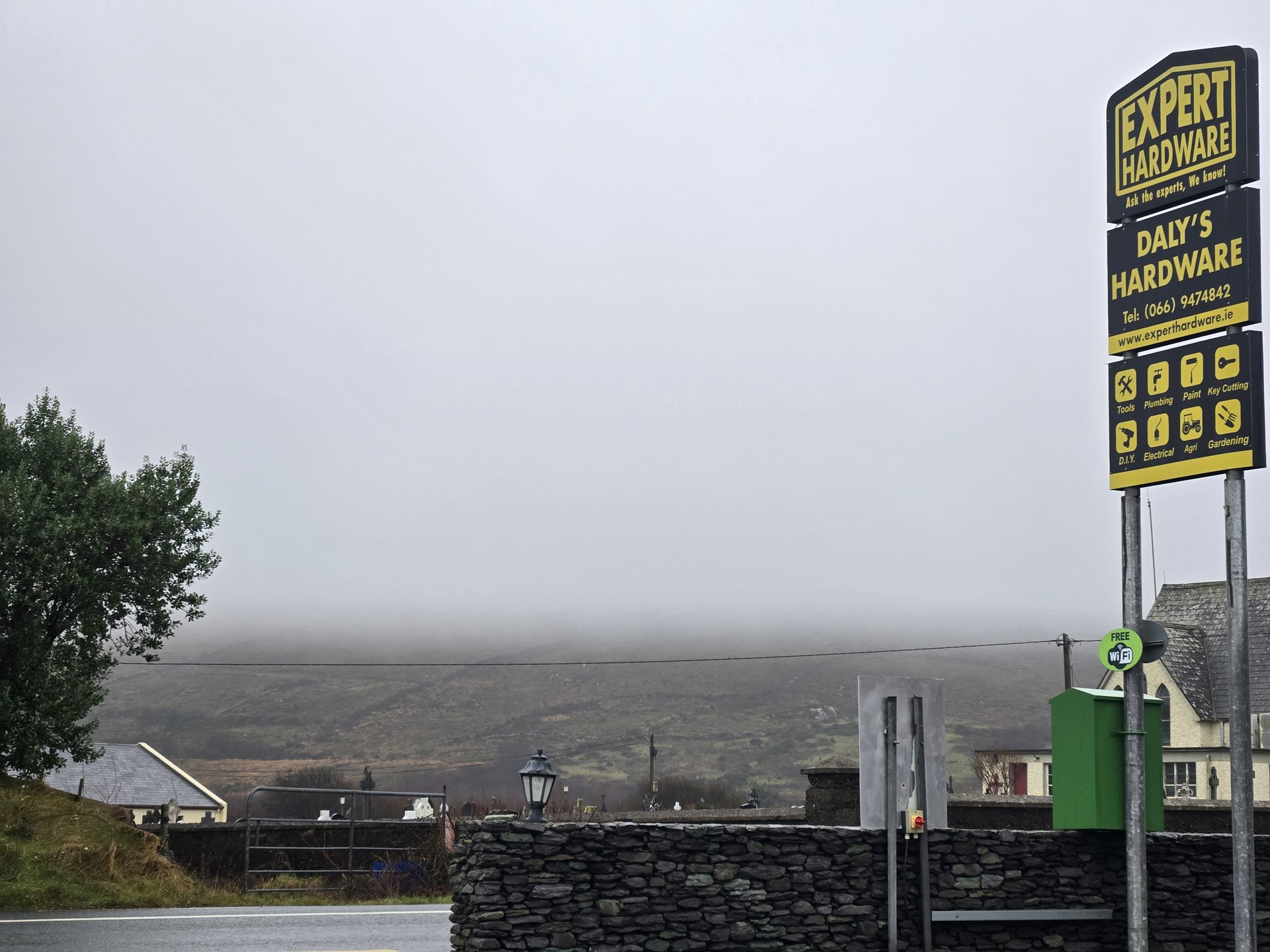
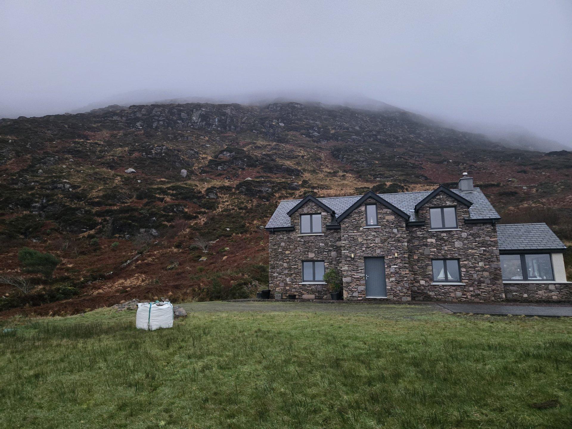
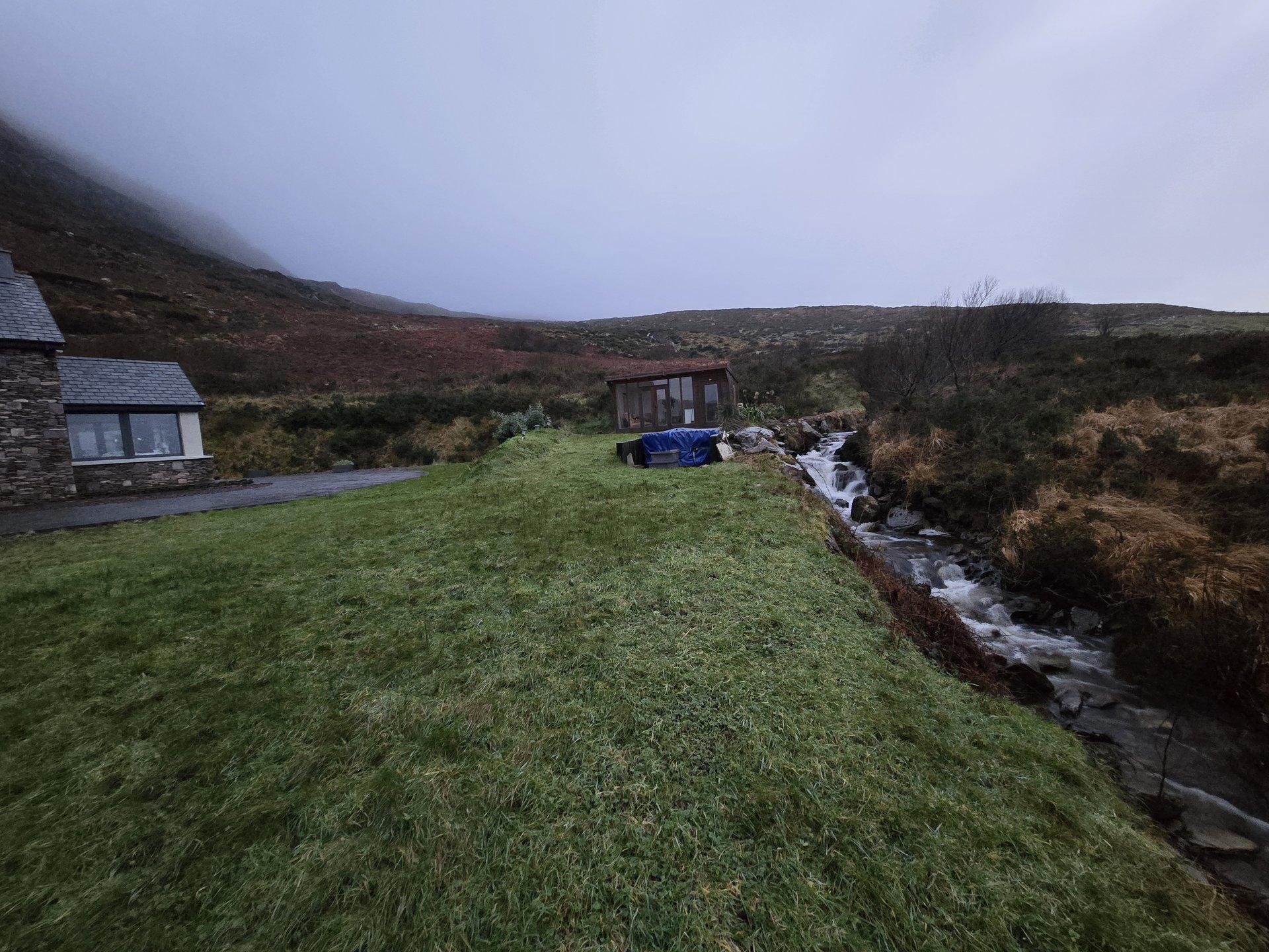
The Leitrim base was accommodation-driven — a good rental in the area made it a natural hub for reaching the northwest. Emptier roads were the defining characteristic of winter driving. Rural pubs and restaurants in remote areas may not be open or serving food in January.
Practical Notes
- Driving: Left-hand traffic. Emptier roads than summer — significantly less tourist traffic on the Wild Atlantic Way and peninsula routes.
- Duration: 17 days, 5,144 km — averaging over 300 km per day. This was a planned high-distance trip.
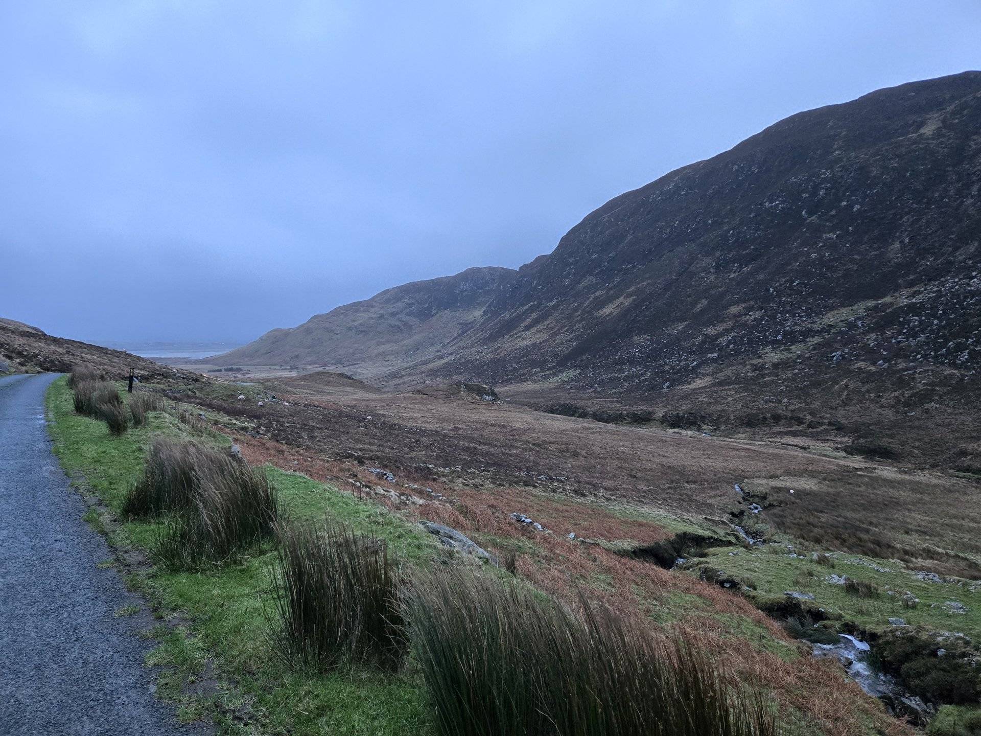
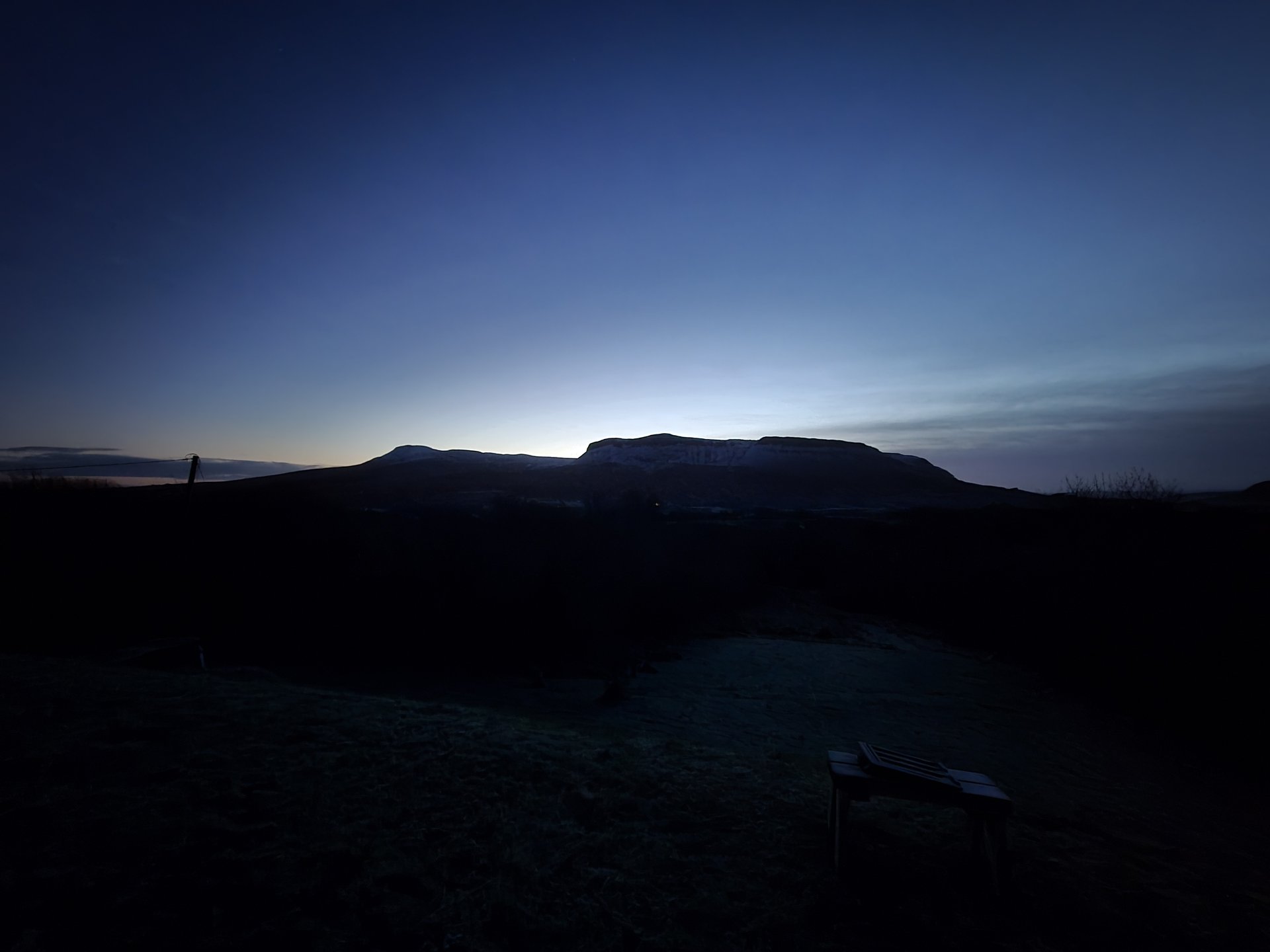
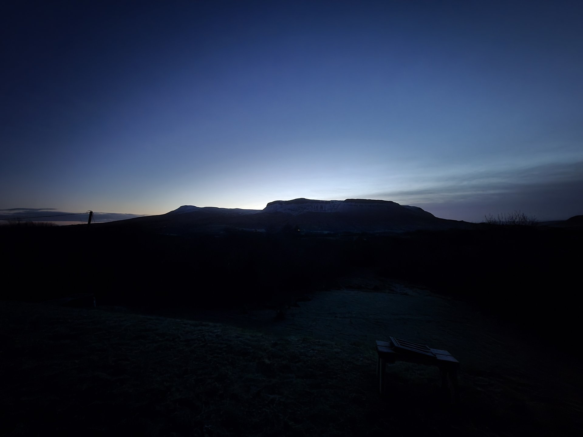
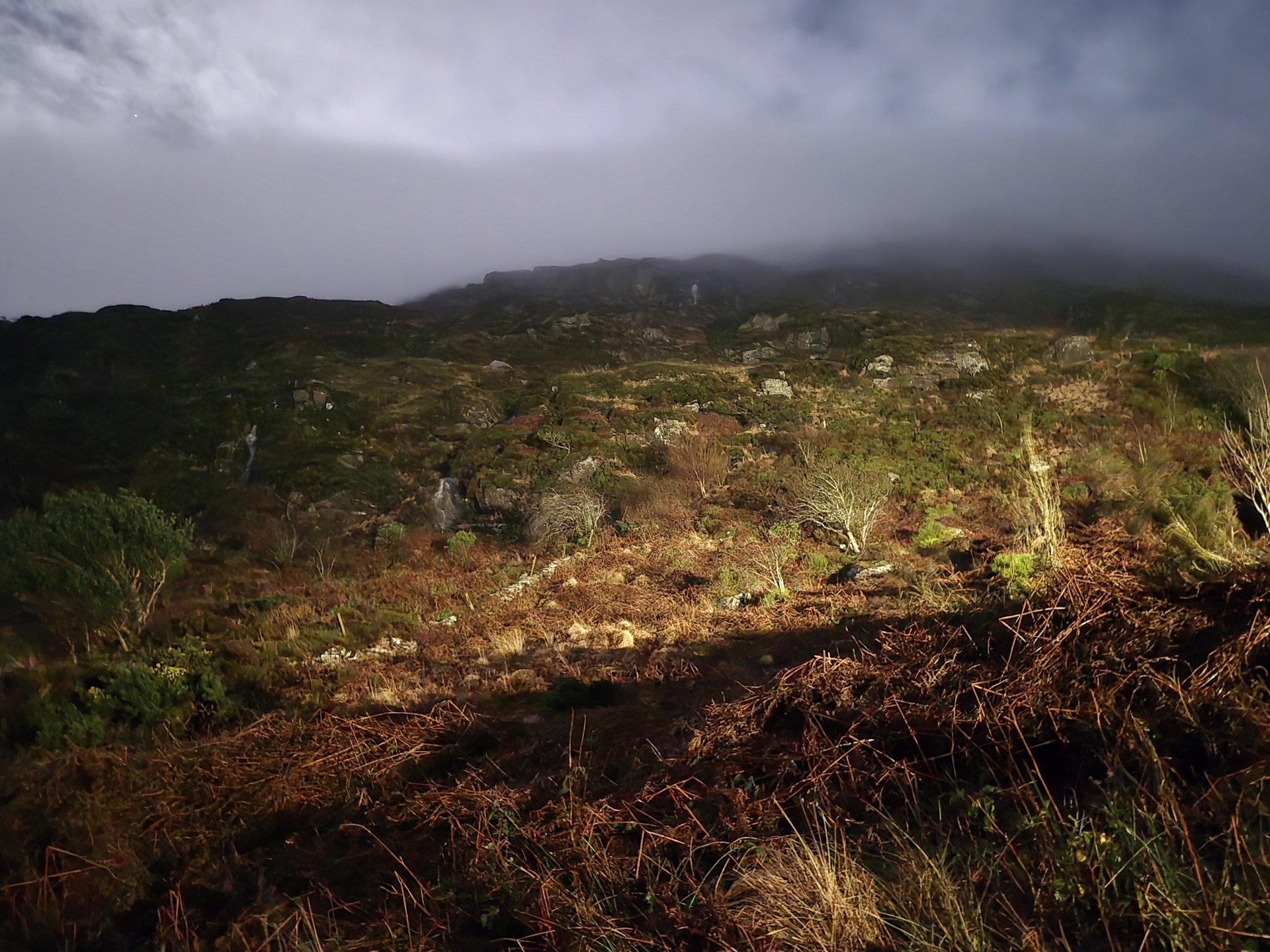
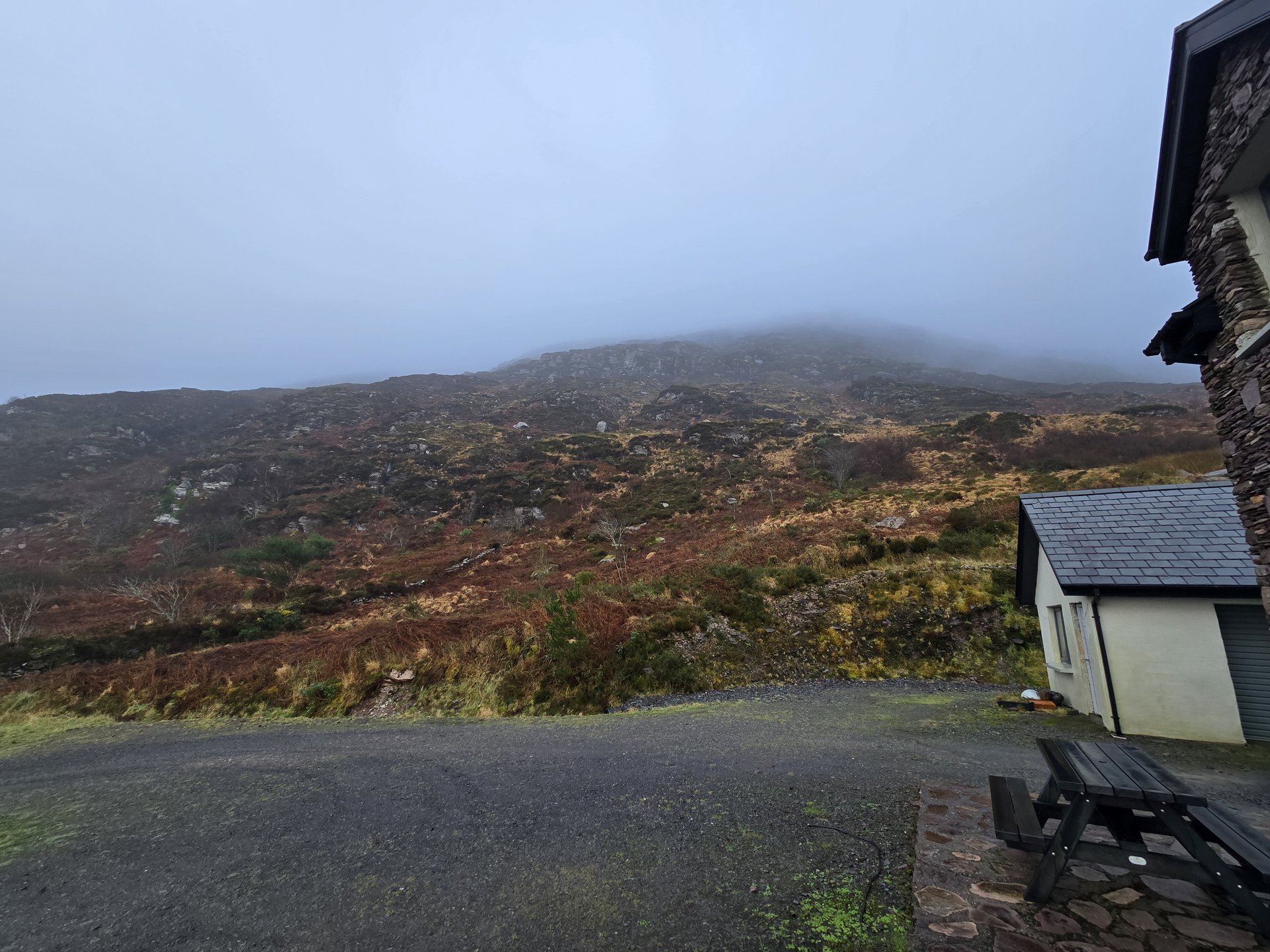
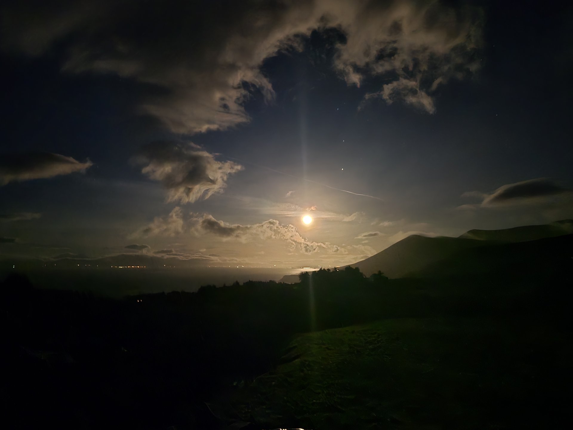
- Season: January means sunset around 4:30pm, dramatic winter skies, and near-empty tourist sites. Some rural food options may be closed.
- Base camp: Days 3-10 based around Glenade/Kinlough/Leitrim, with day-trips radiating out to Sligo, Mayo, and Donegal.
Galway to Donegal: Gort to An Clochán (313 km)
Monday, December 30, 2024
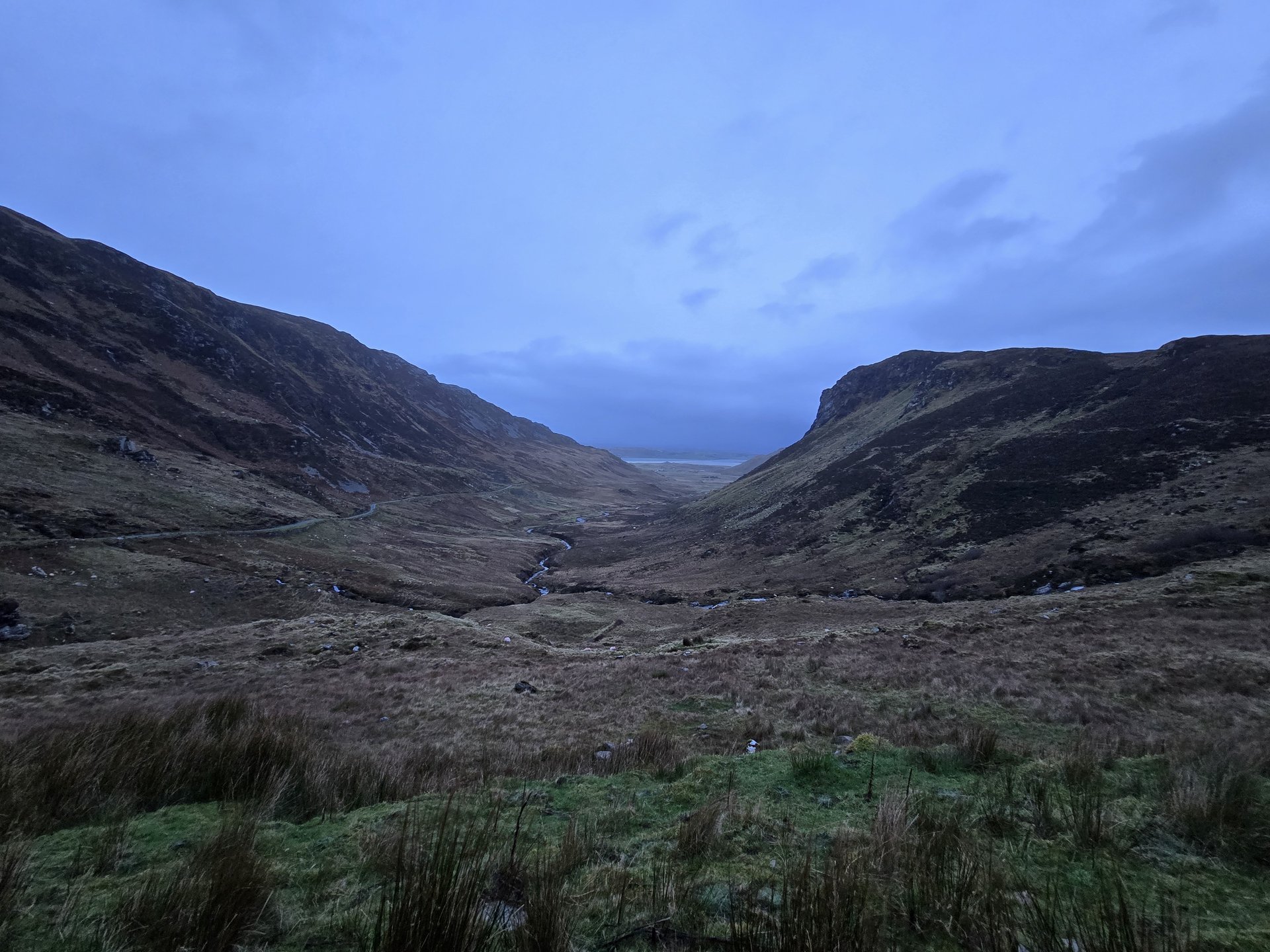
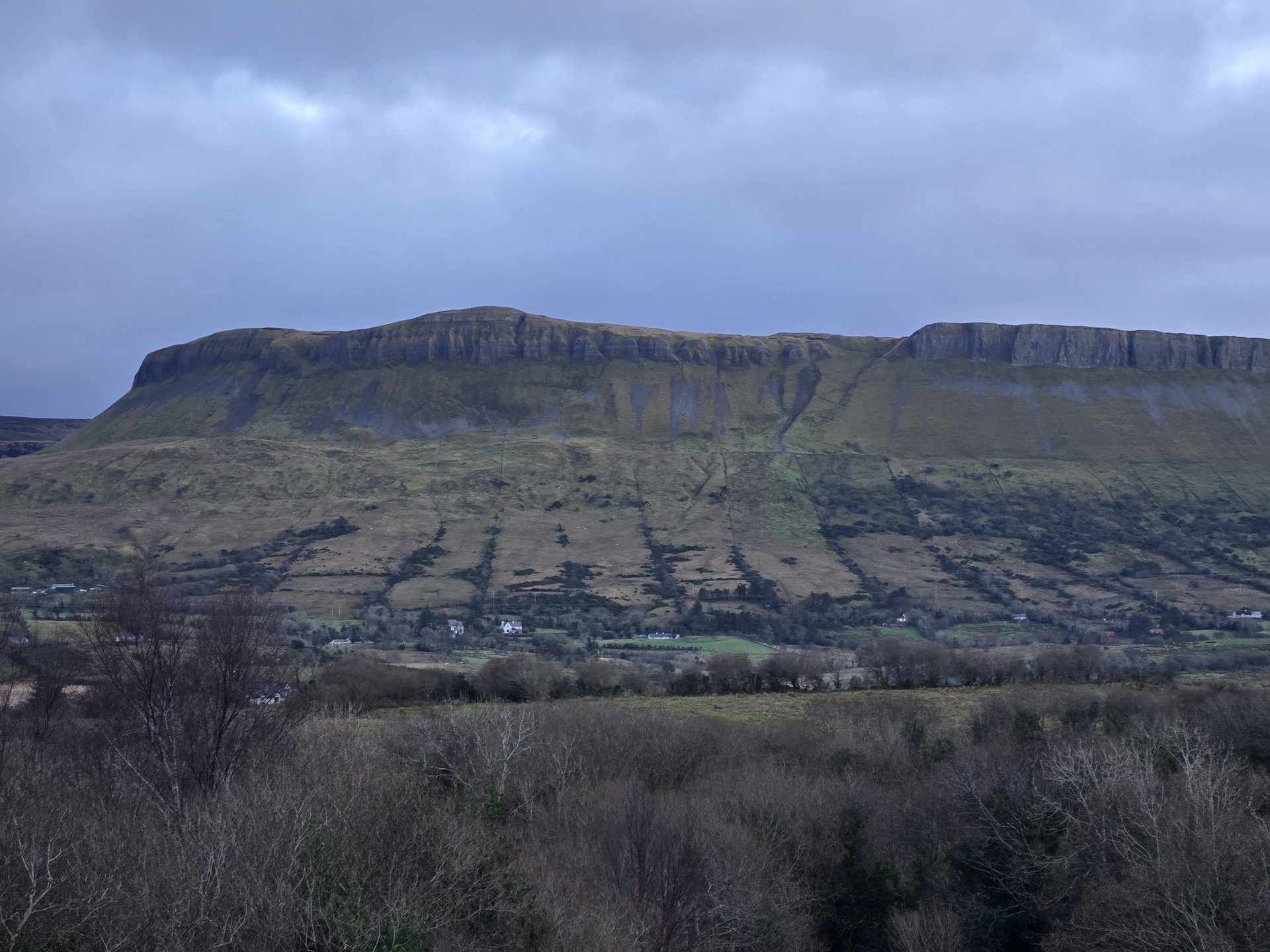
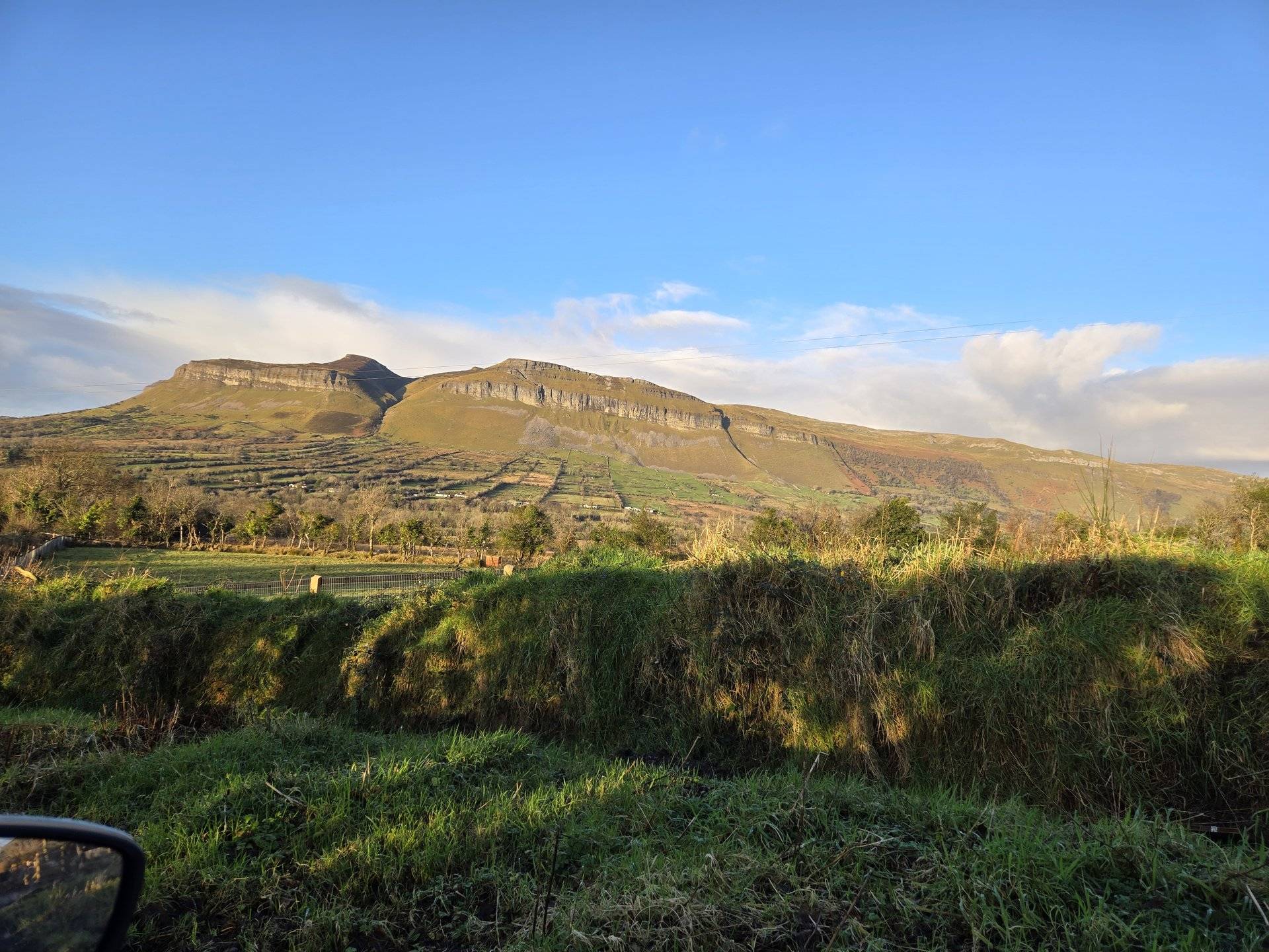
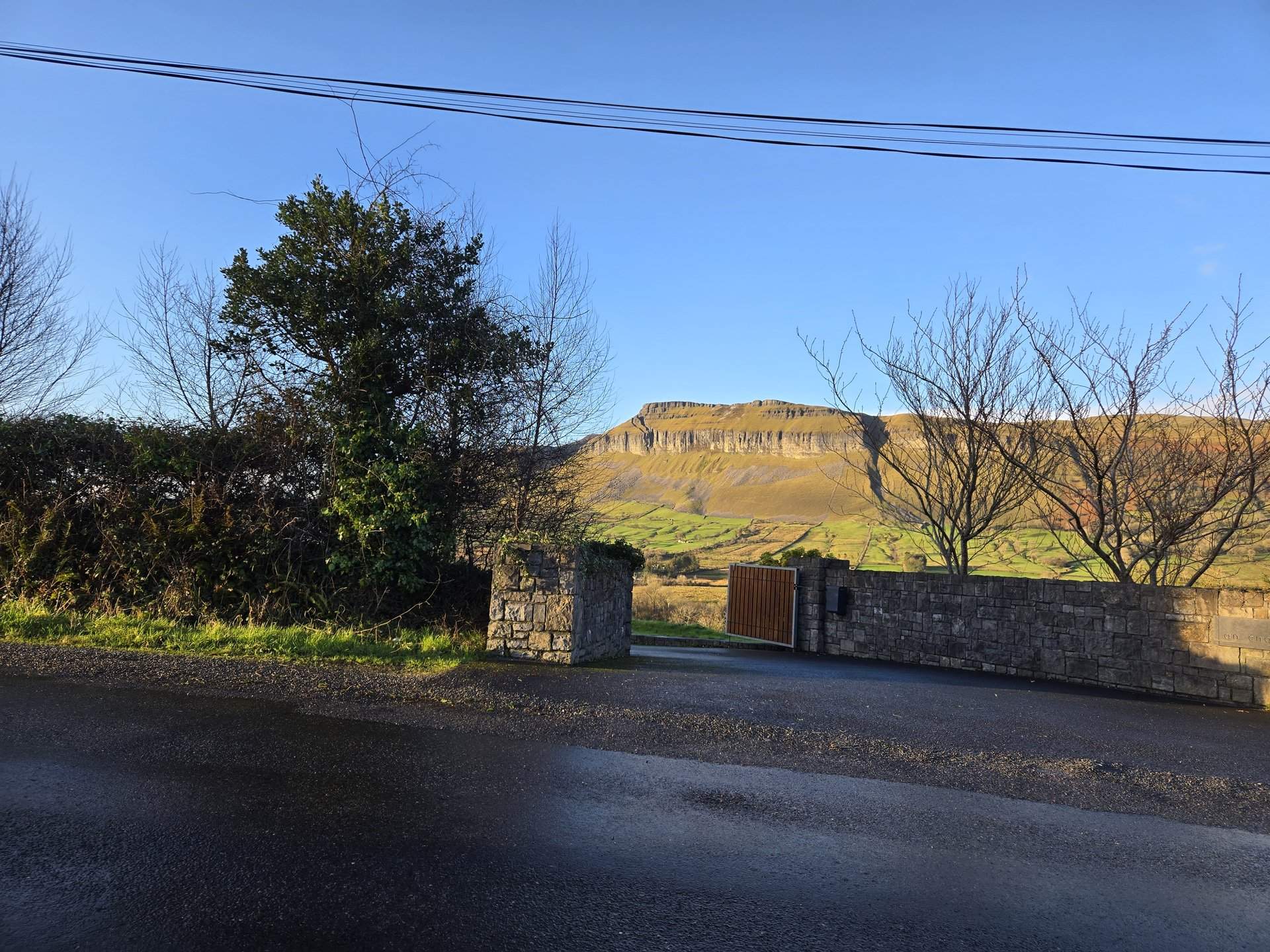
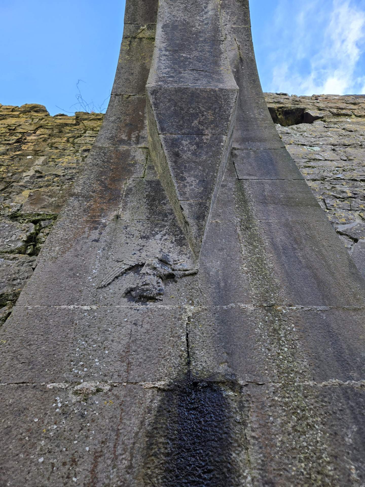
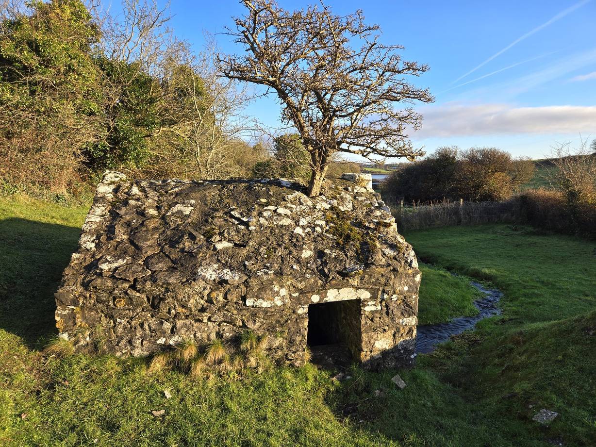
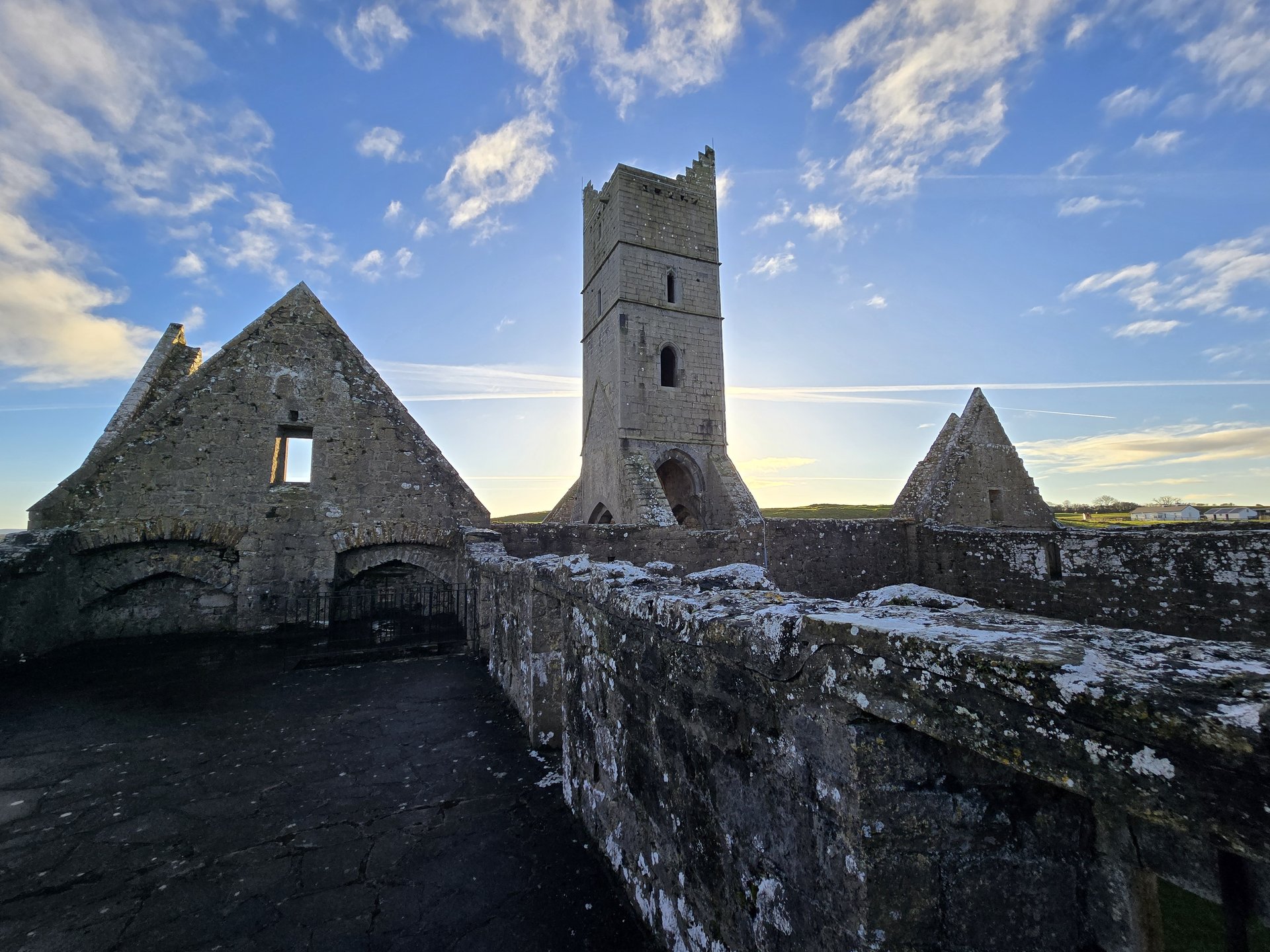
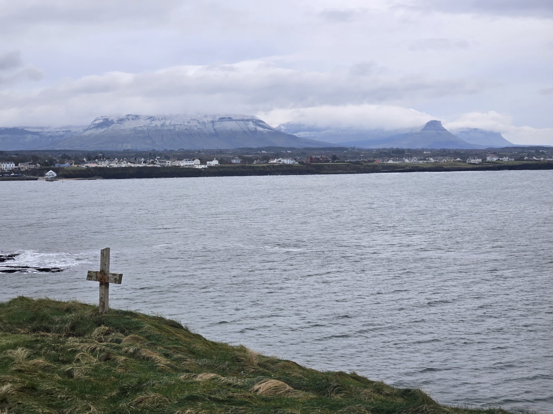
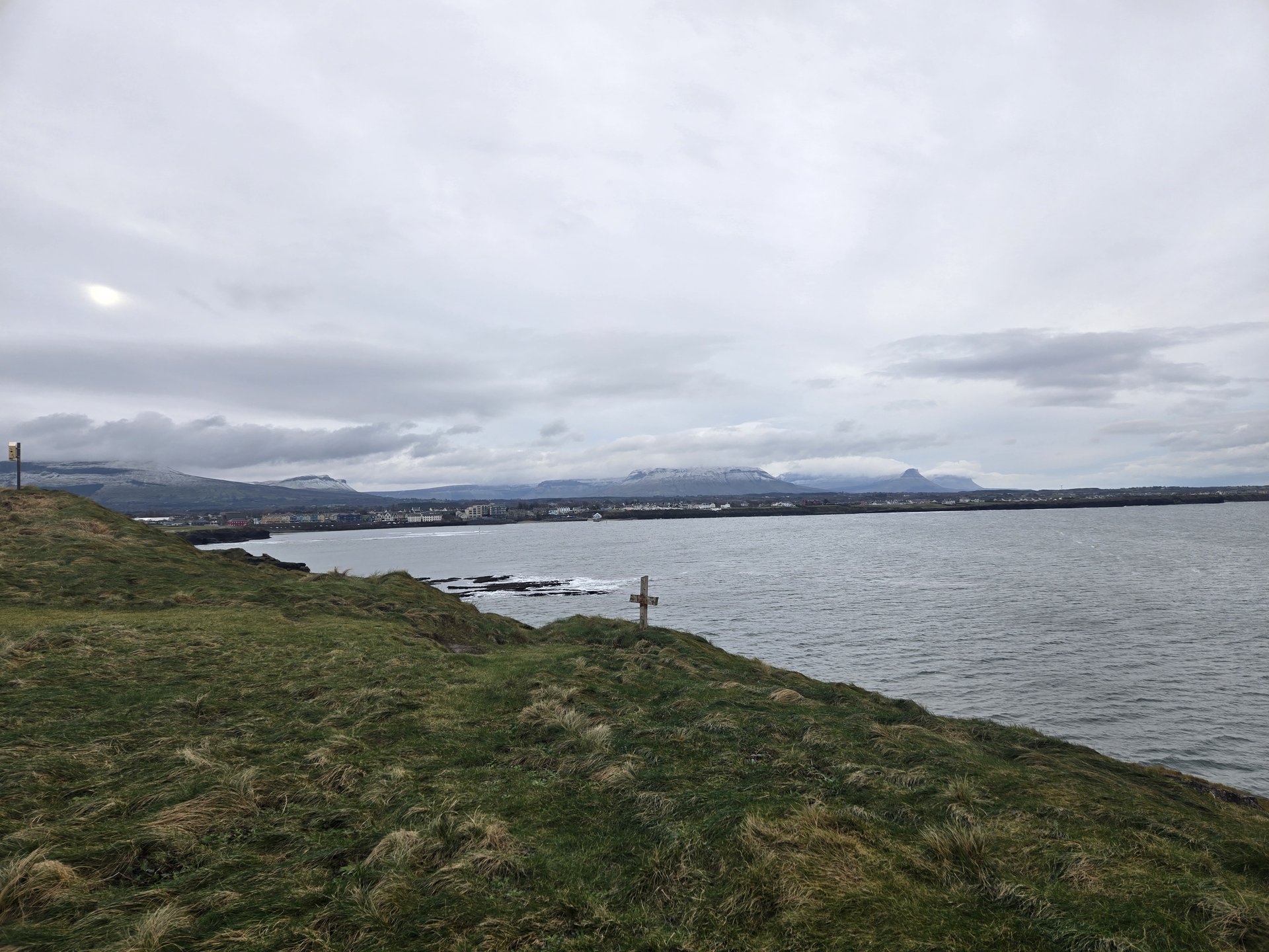
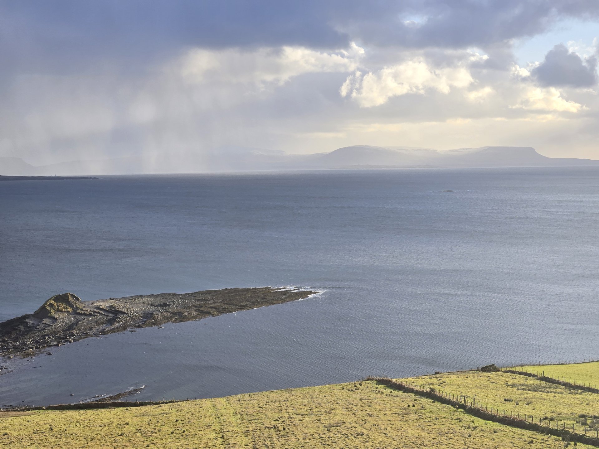
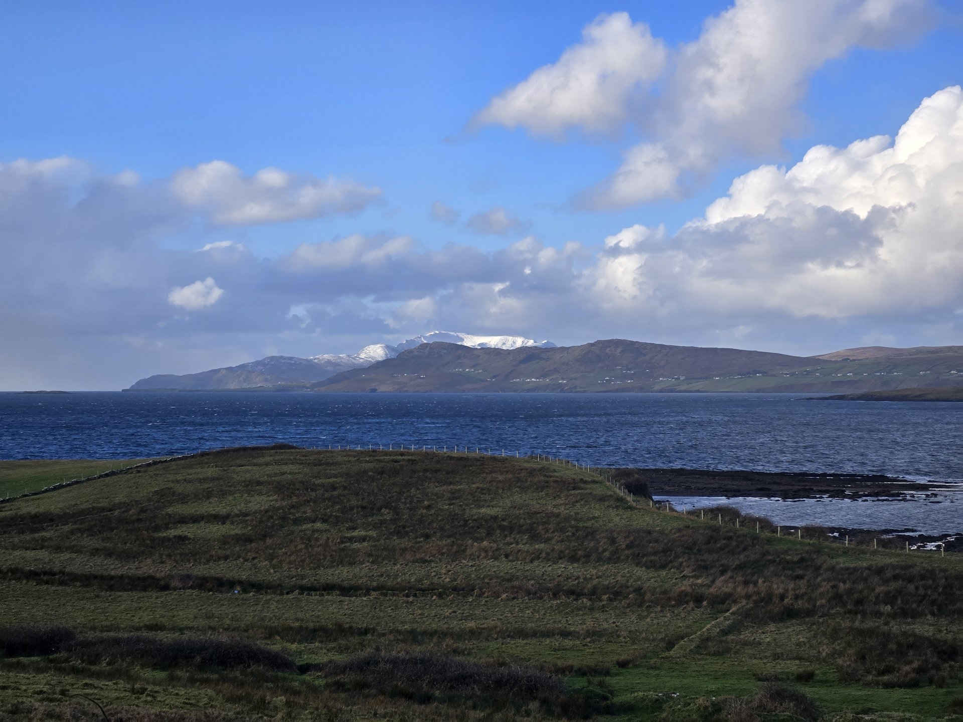
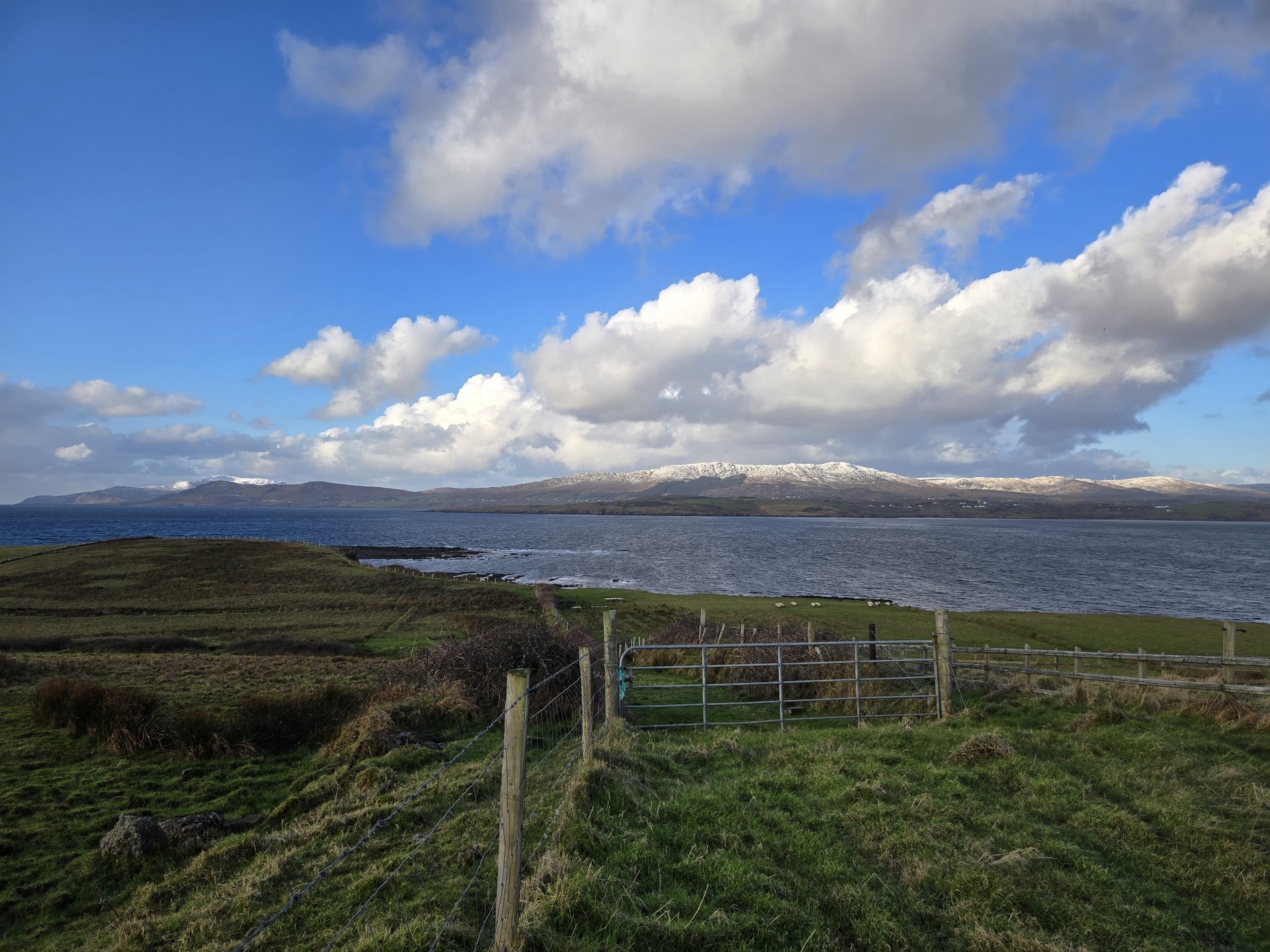
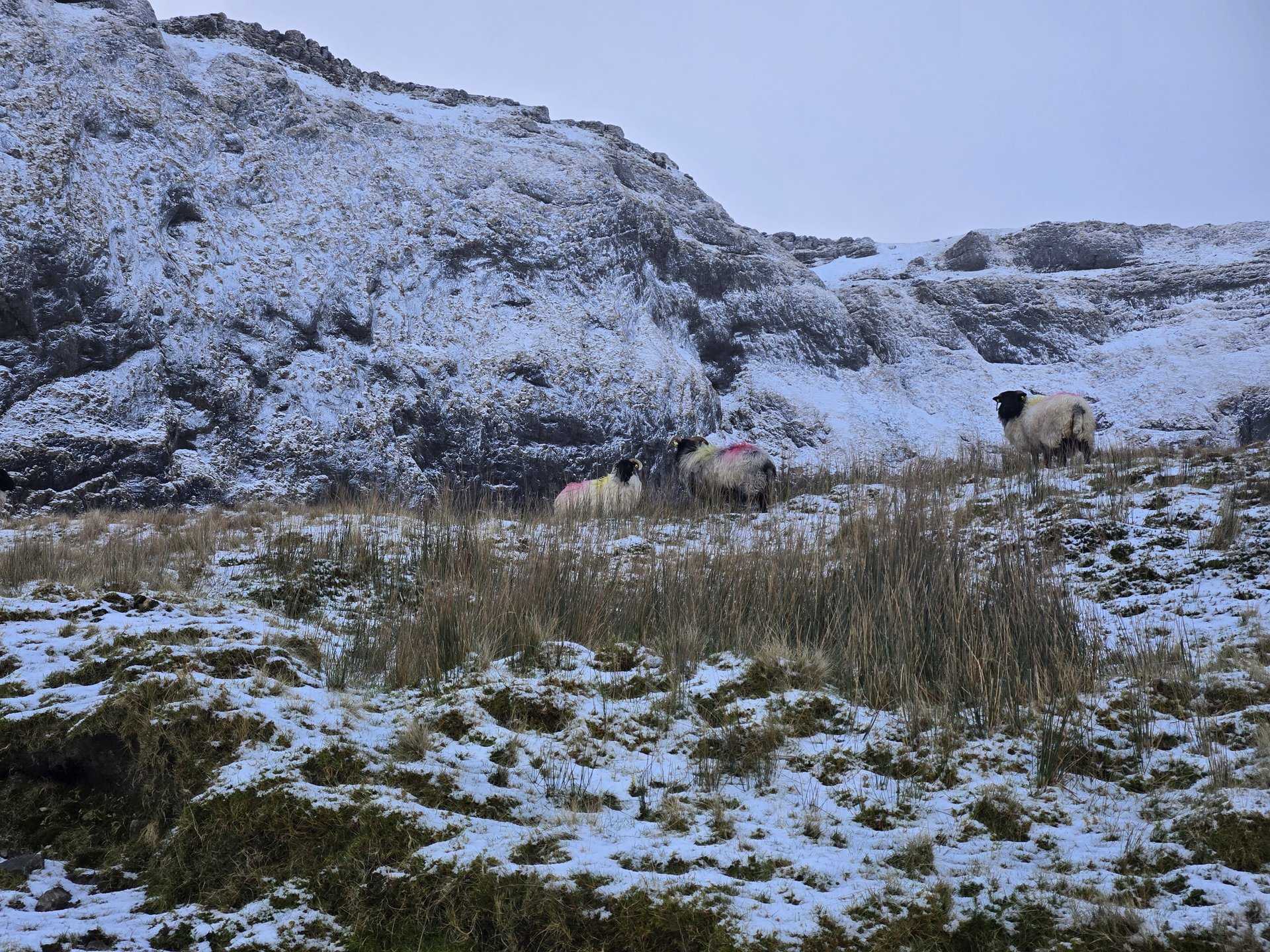
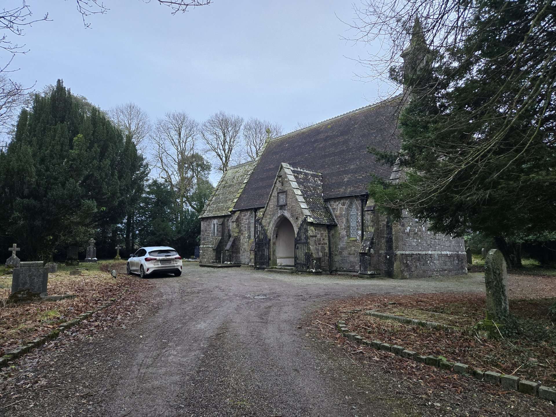
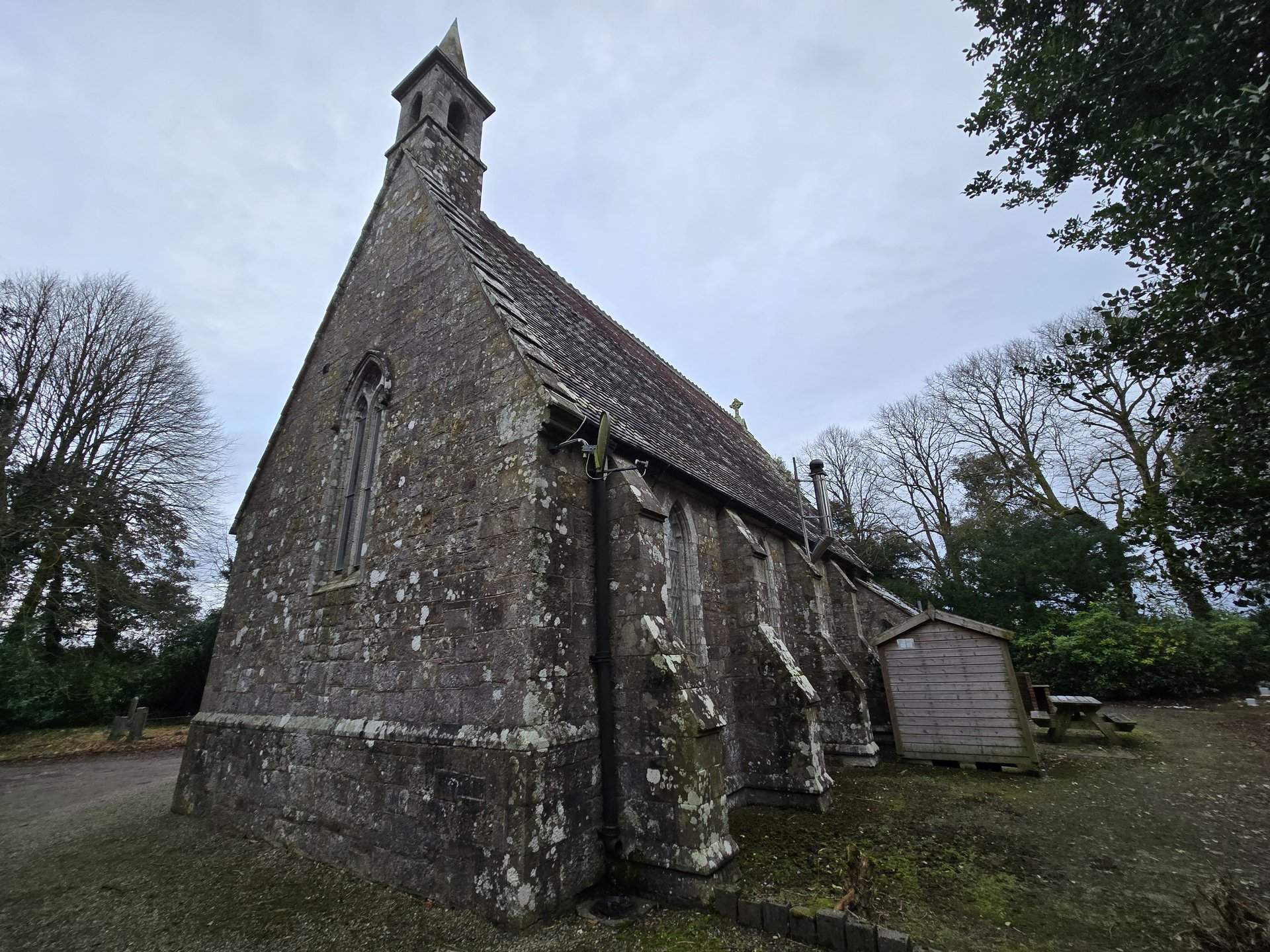
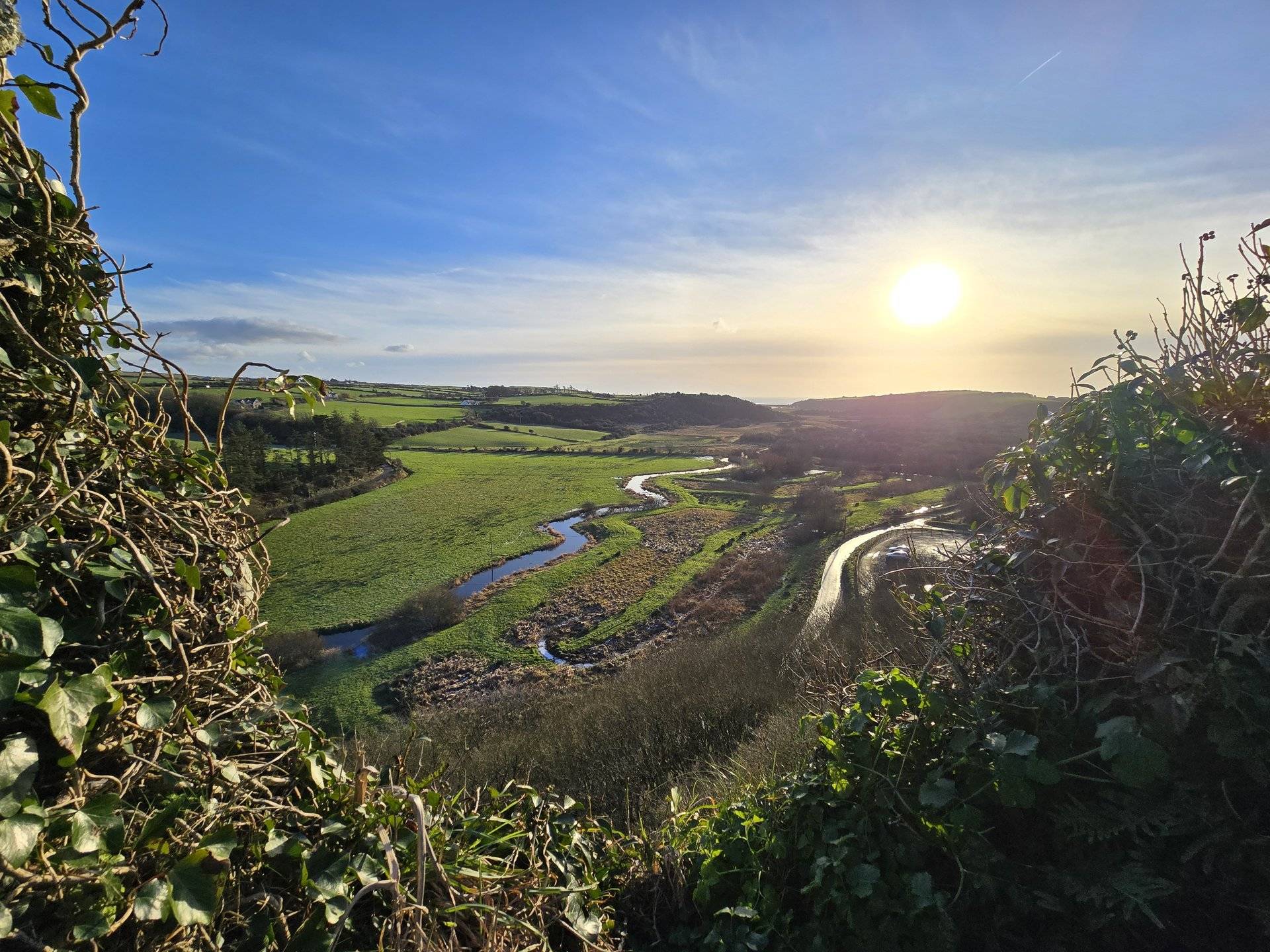
A 313 km opening day north through County Galway, across Sligo past Drumcliff and Collooney, and into Donegal as far as An Clochan. The route crossed nearly the full width of the west coast interior on empty winter roads.
Show full route (37 stops)
Day Statistics 313km • 290 photos
🗺️ Route Map
📸 Photos
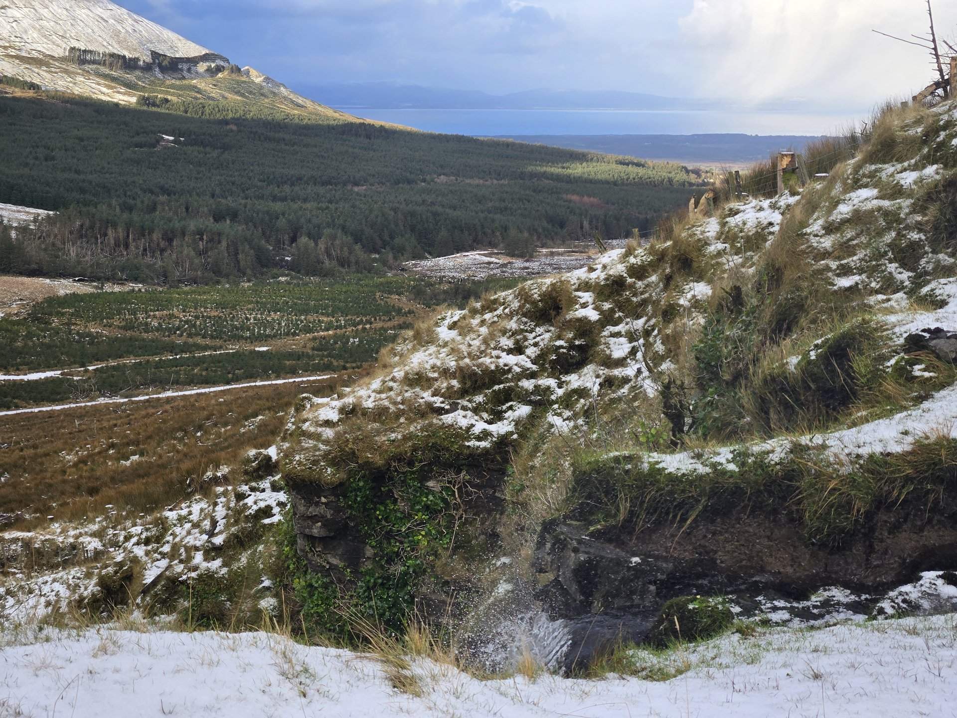
West Donegal: Stranorlar to Glencolumbkille (167 km)
Tuesday, December 31, 2024
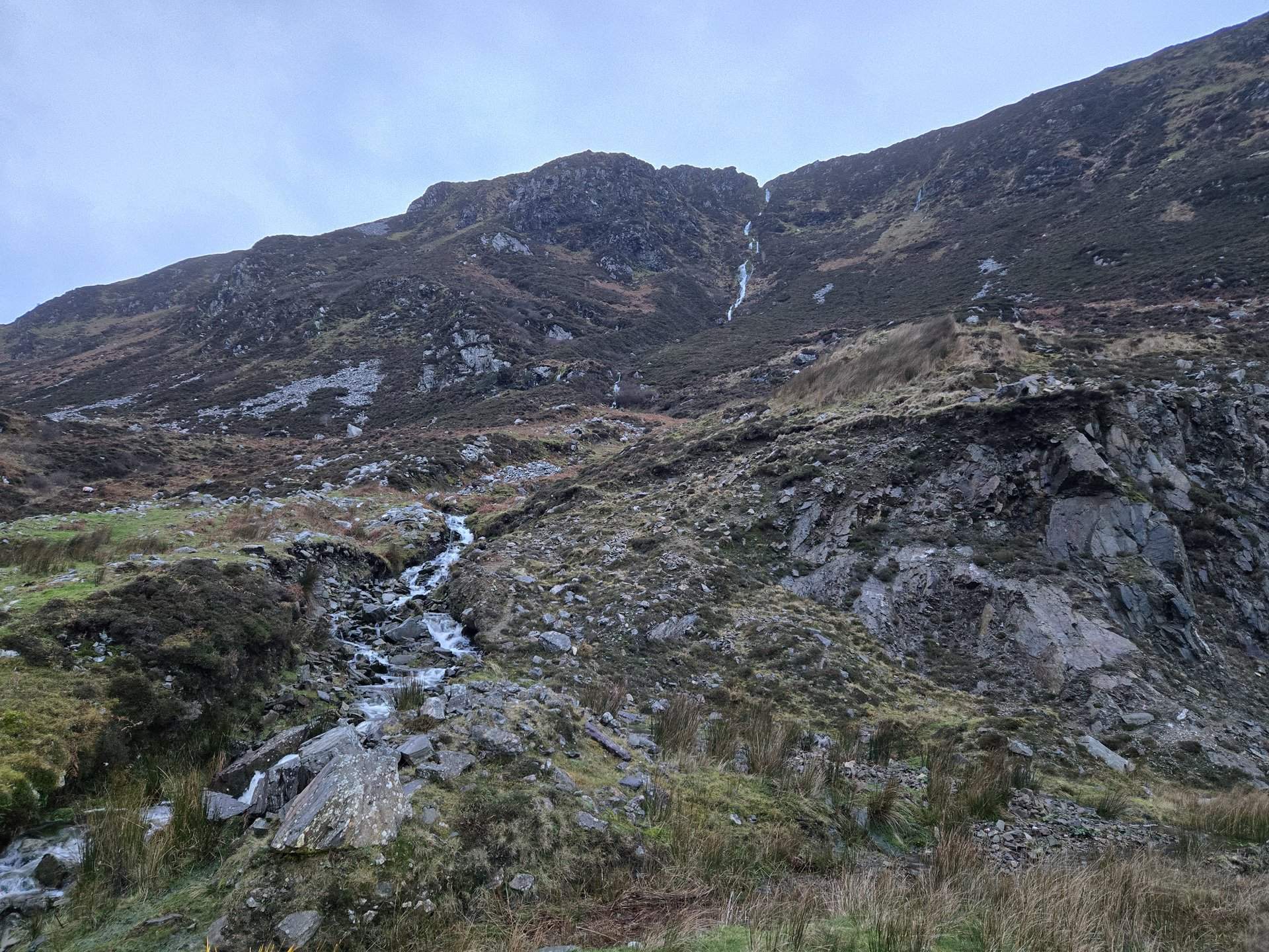
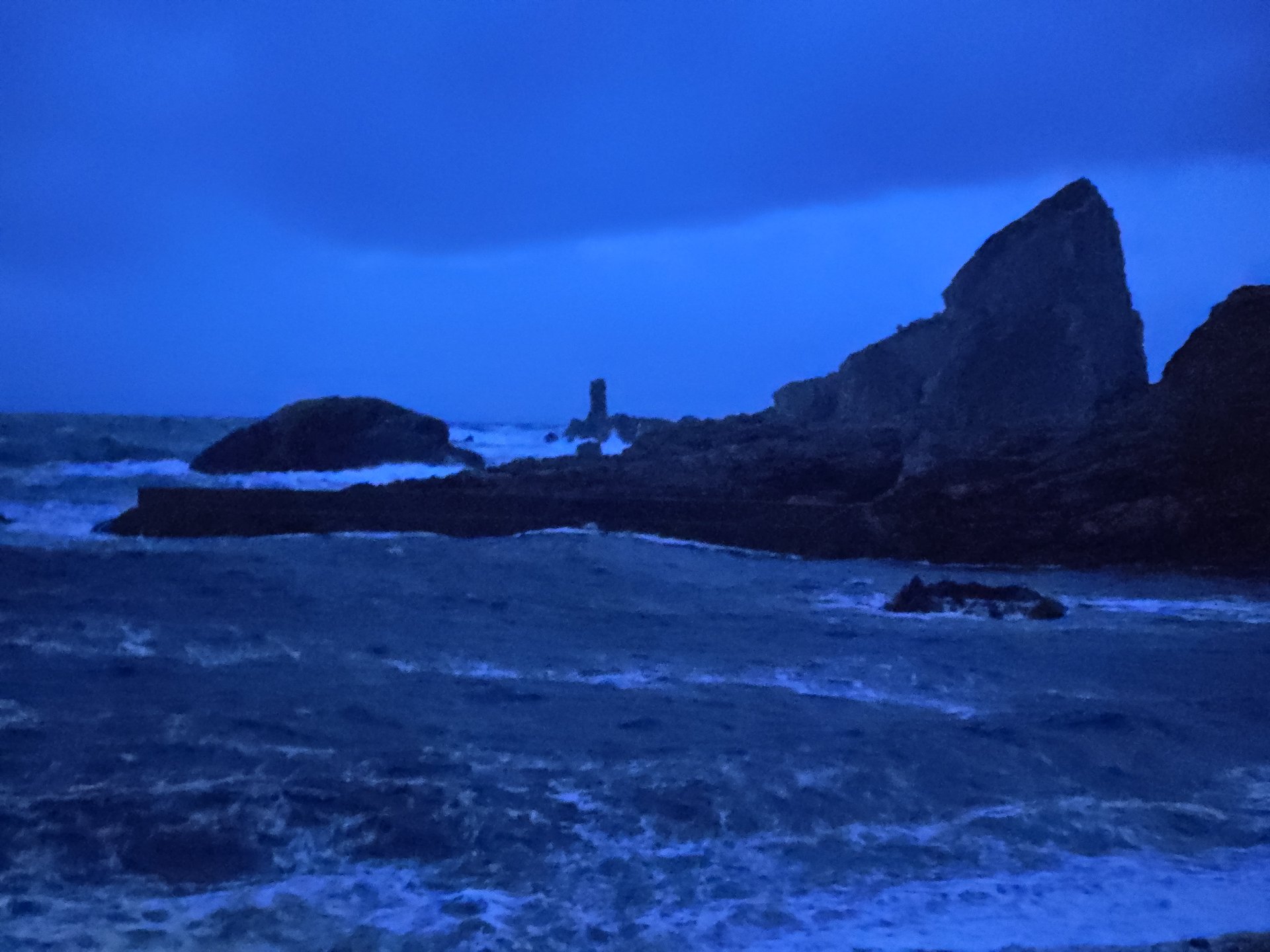
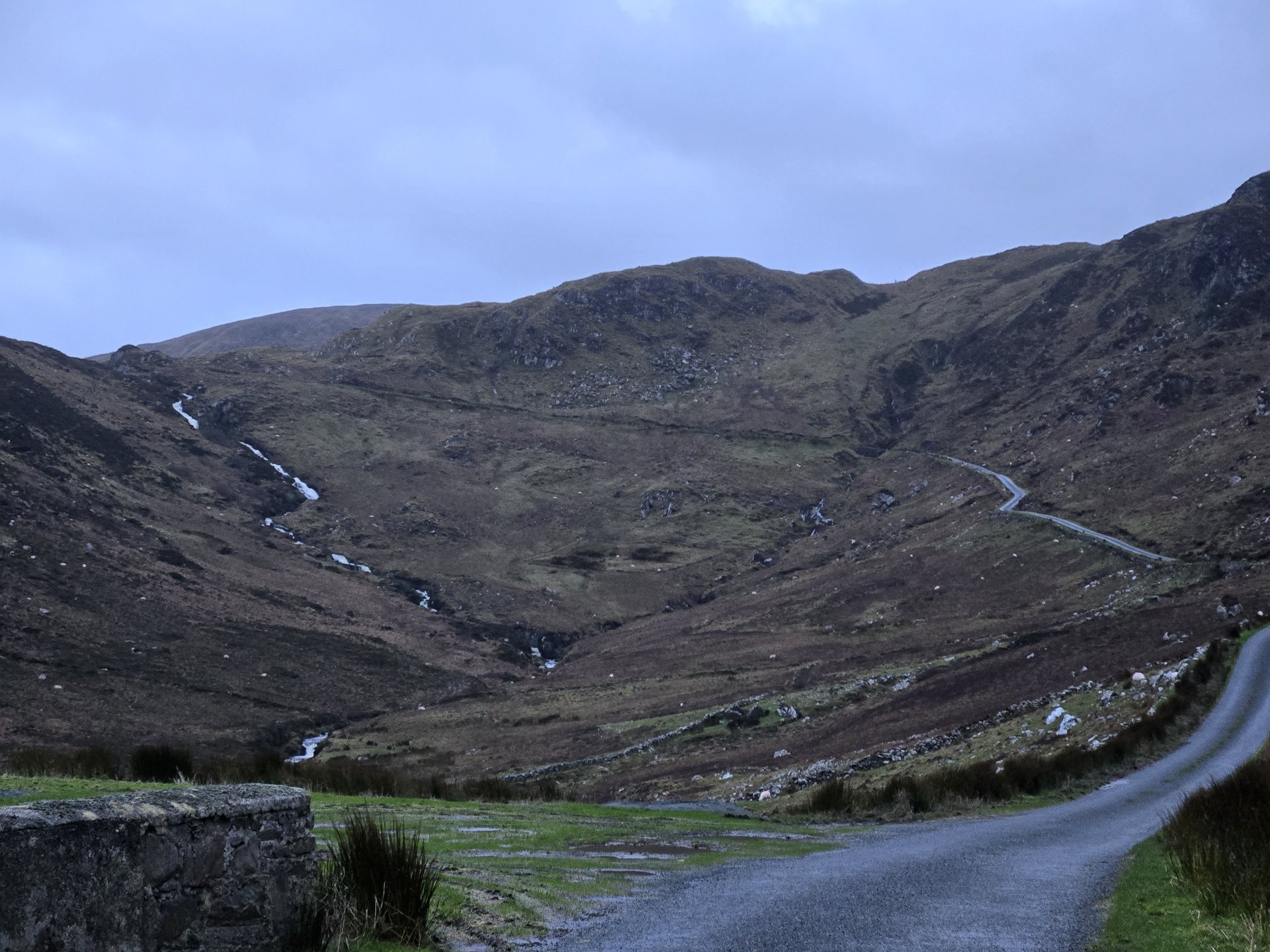
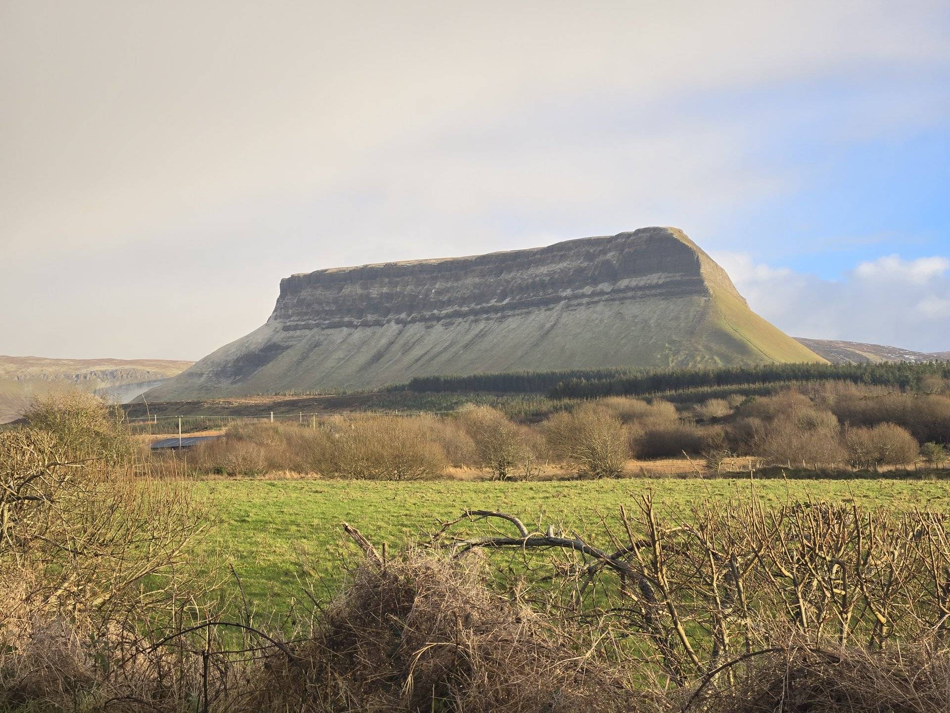
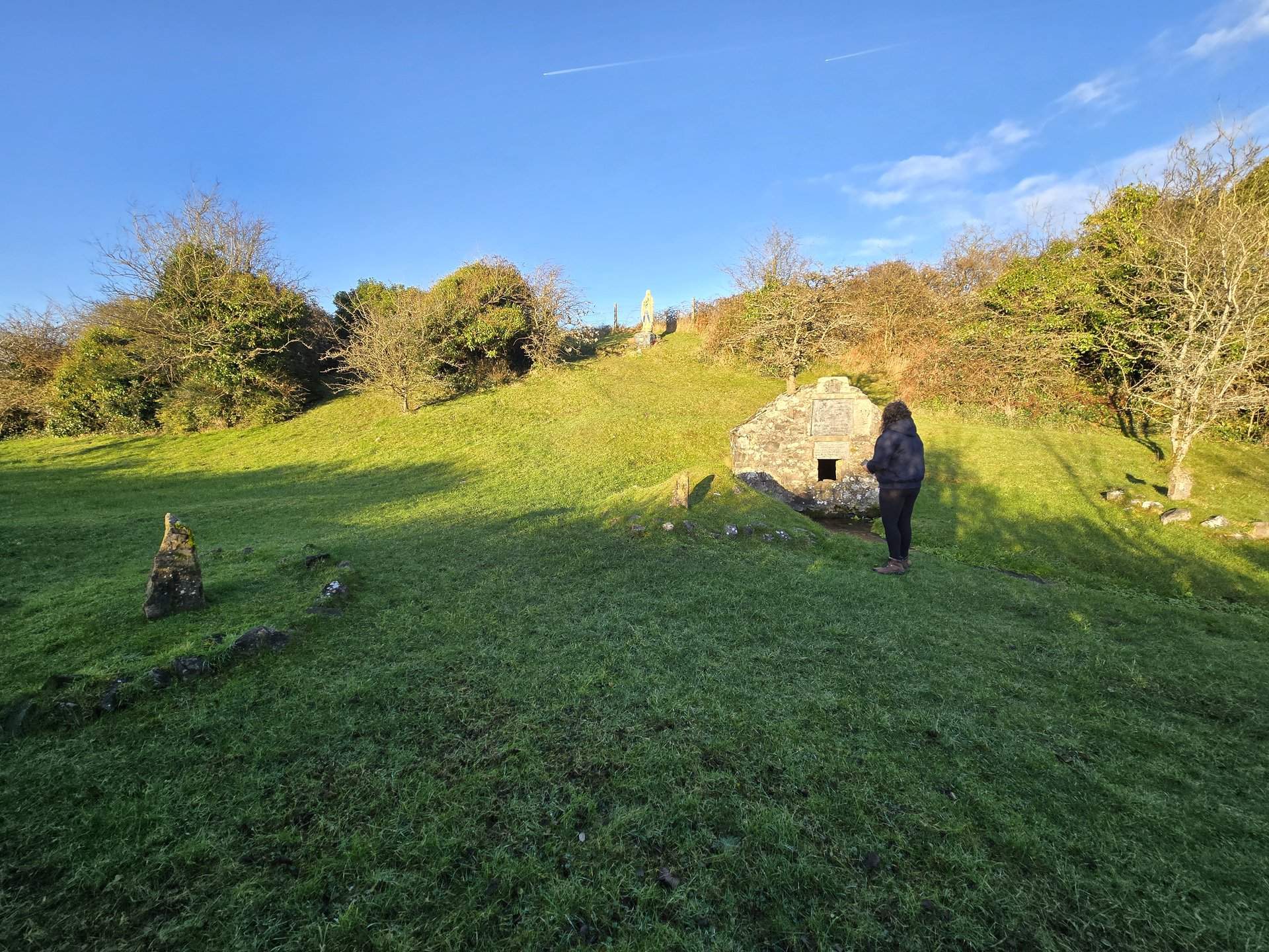
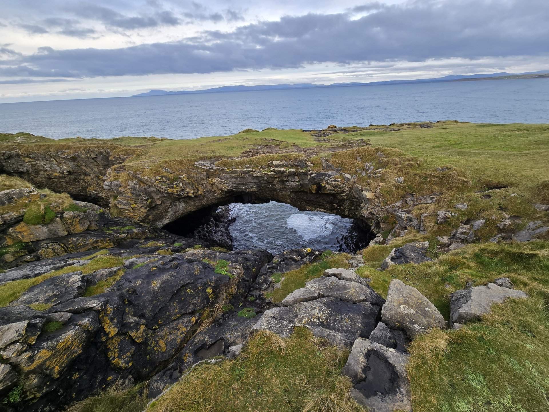
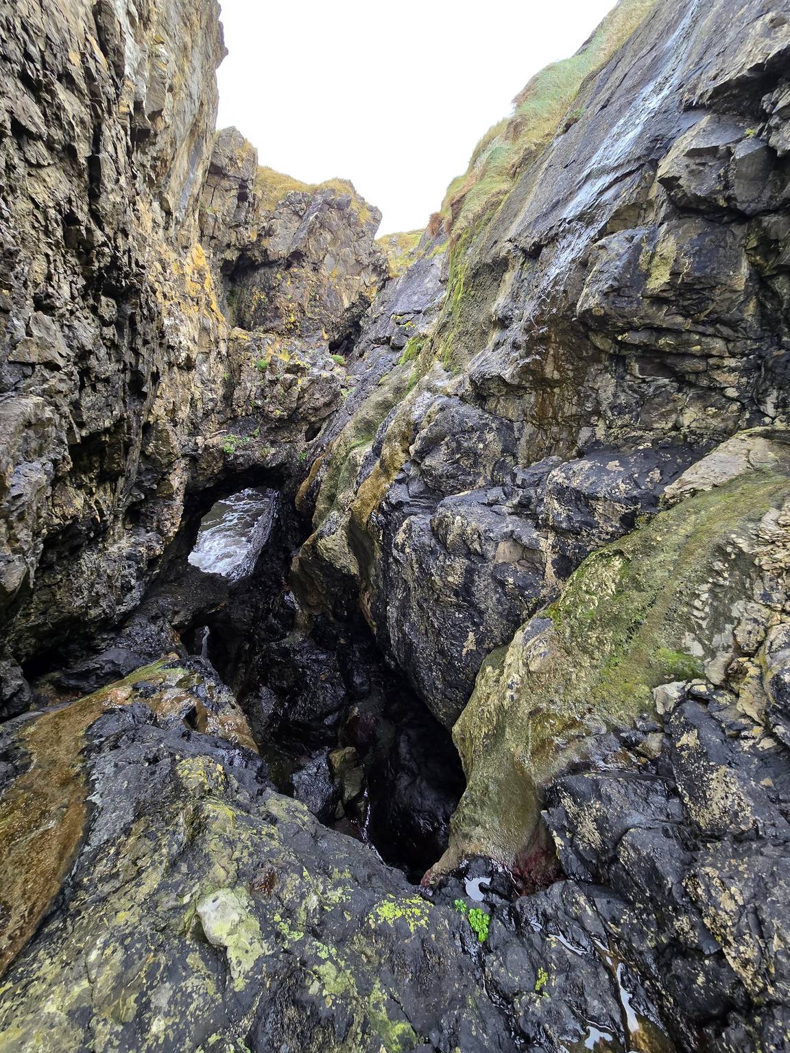
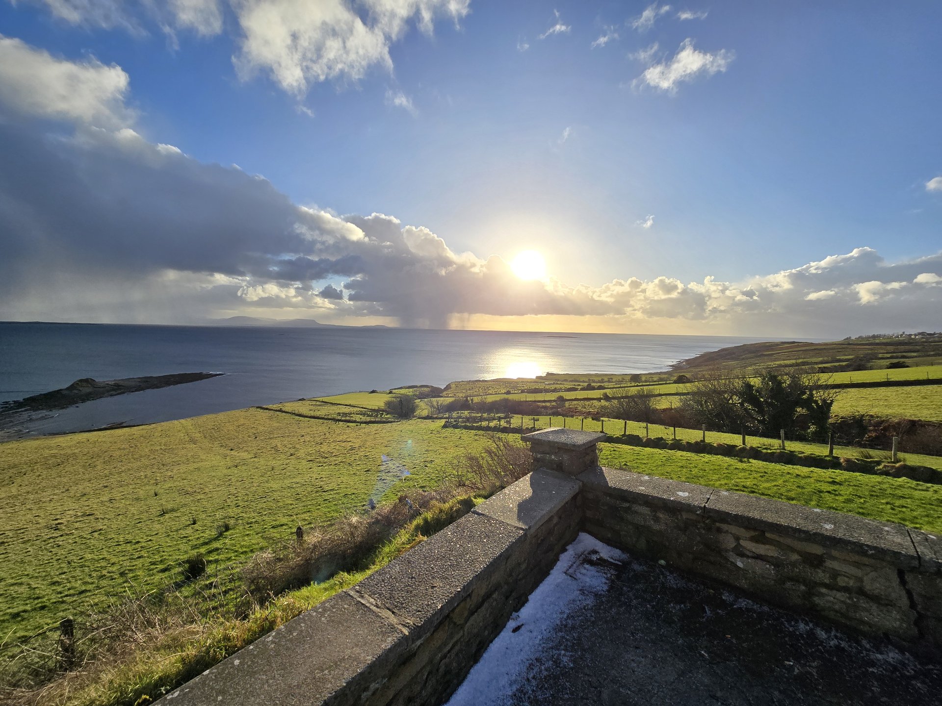
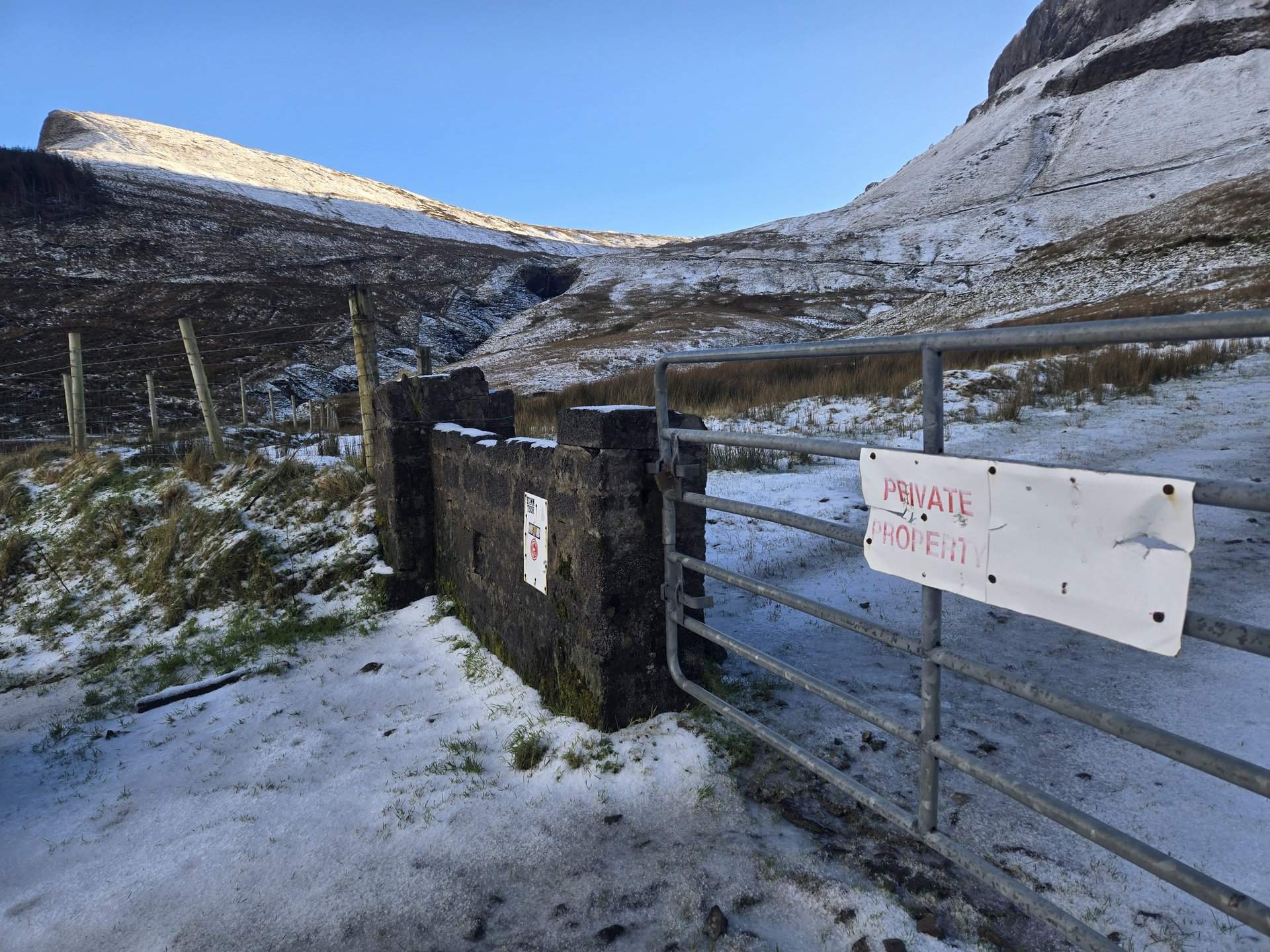
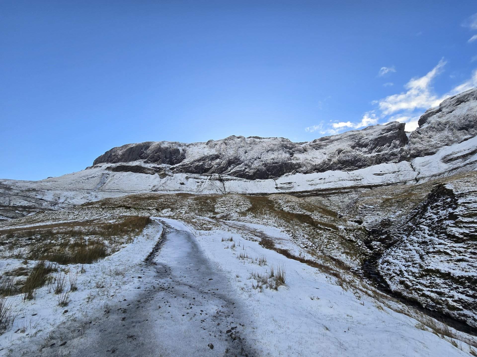
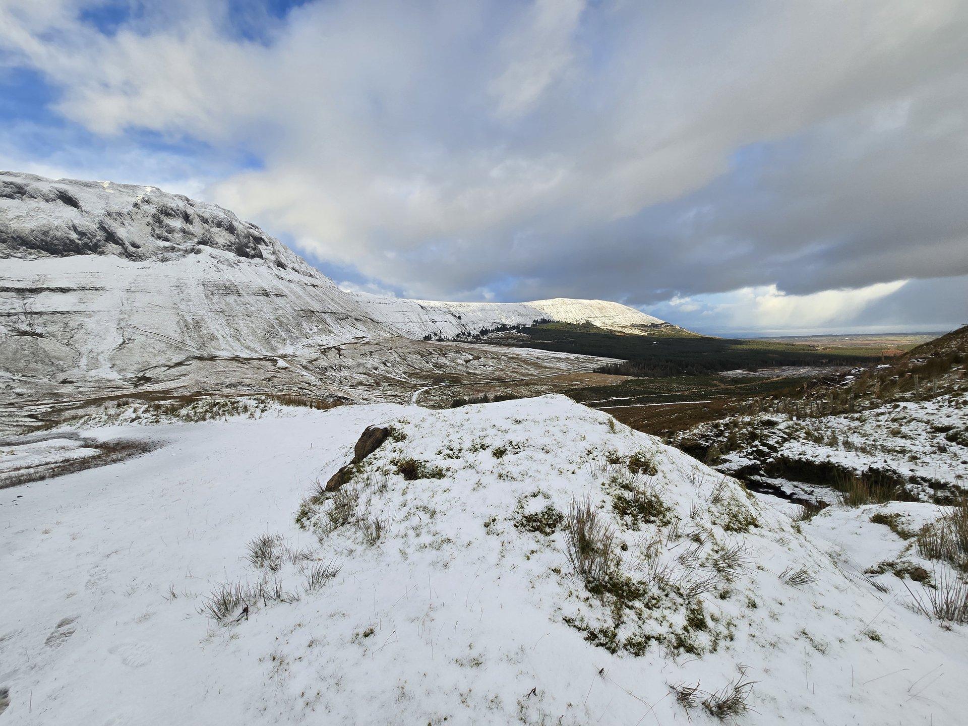
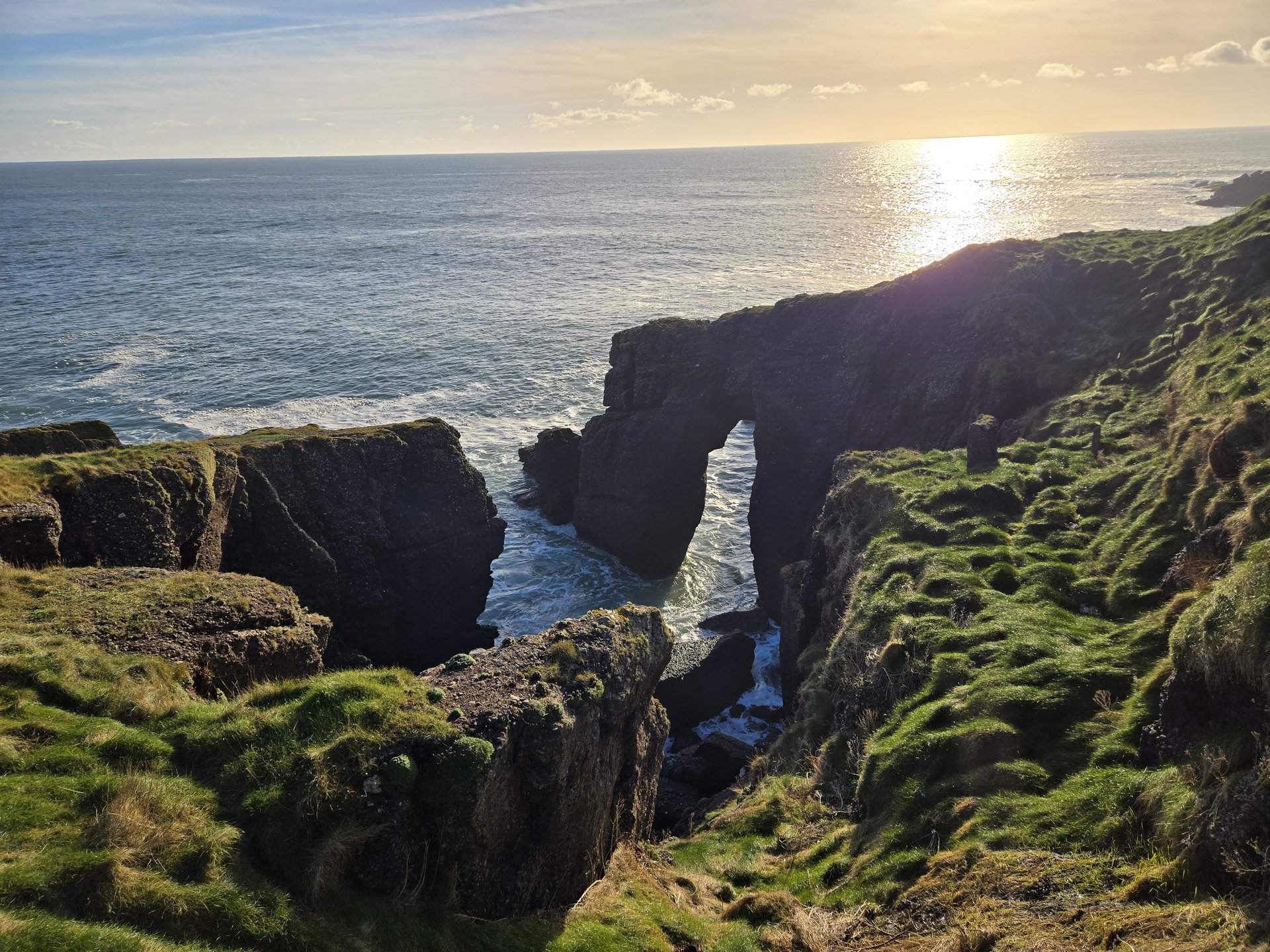
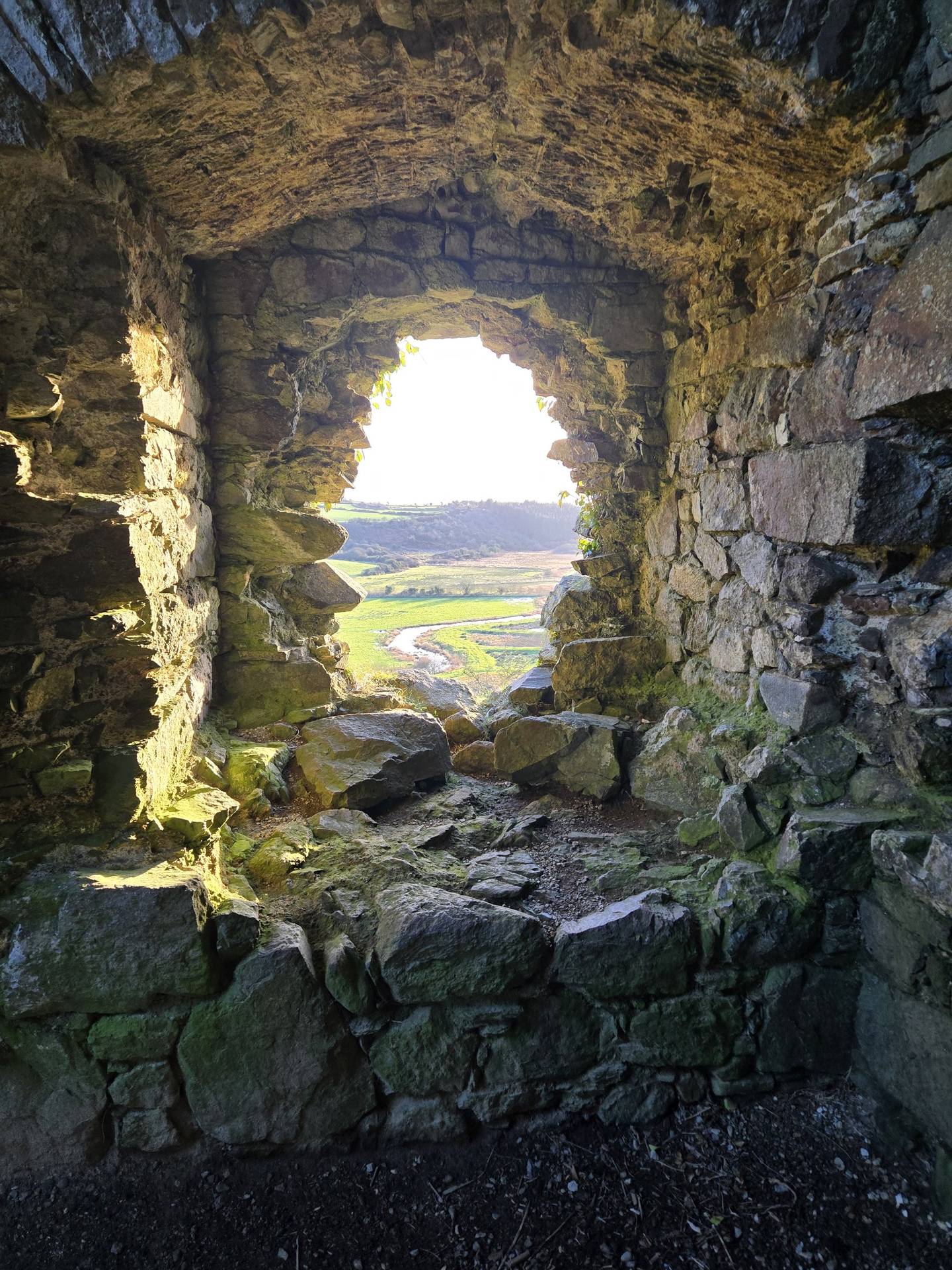
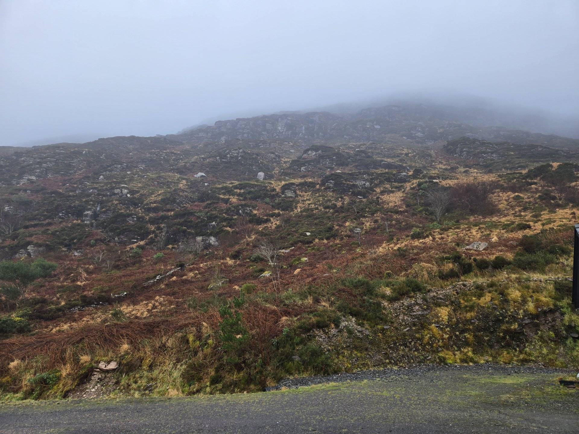
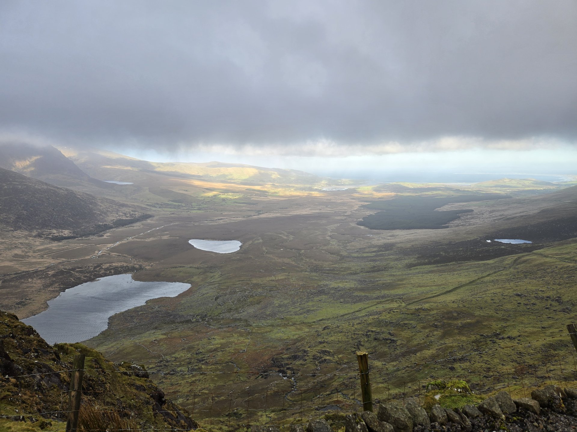
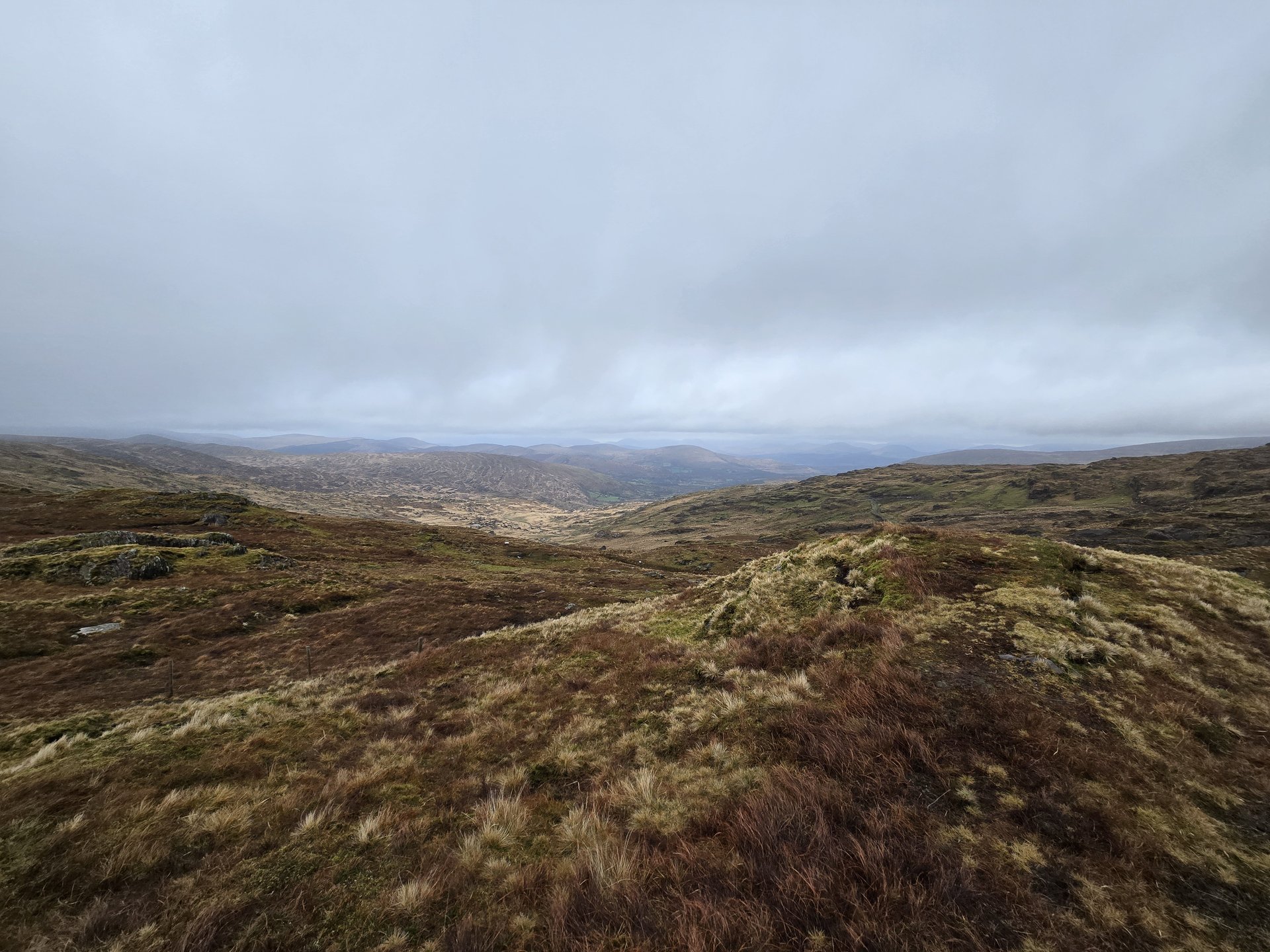
New Year's Eve spent driving deep into west Donegal, from Stranorlar through Glenties and Ardara to the remote end of the road at Glencolumbkille. The Glengesh Pass and Malinbeg coastline mark some of the most isolated terrain in Ireland.
Show full route (16 stops)
Day Statistics 167km • 290 photos
🗺️ Route Map
📸 Photos
New Year's Day: Donegal to Glenade (214 km)
Wednesday, January 1, 2025
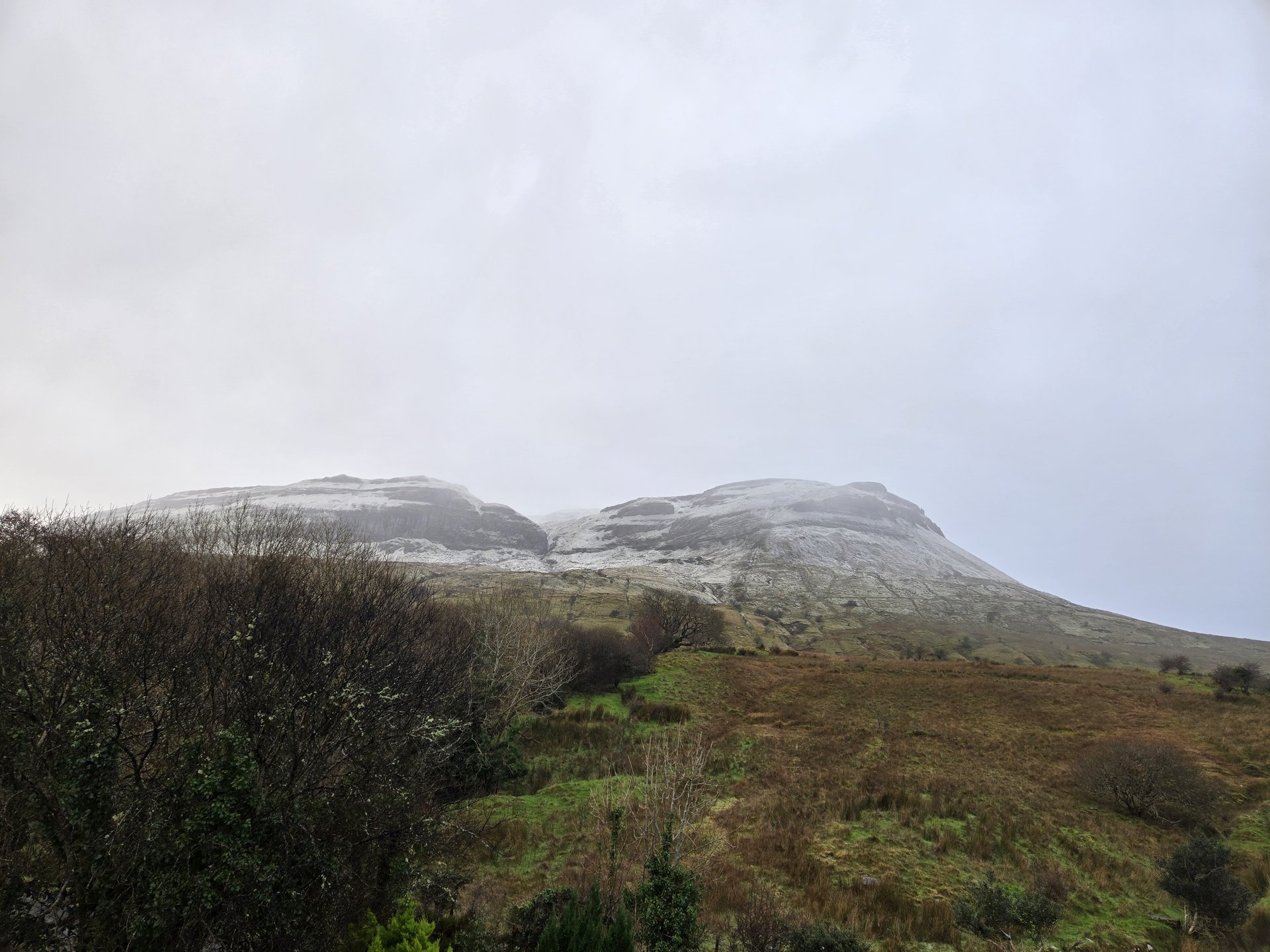
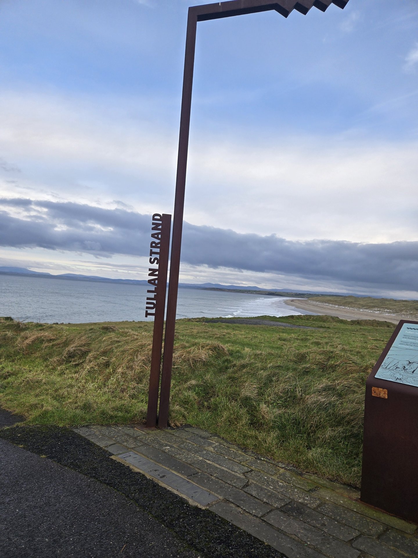
New Year's Day transit from Donegal town south through Sligo and into the Glenade Valley in County Leitrim. The route passed Drumcliff, crossed into Ballintogher and Drumahaire, and ended at the base for the week ahead in the Glenade/Kinlough area.
Show full route (20 stops)
Day Statistics 214km • 290 photos
🗺️ Route Map
📸 Photos
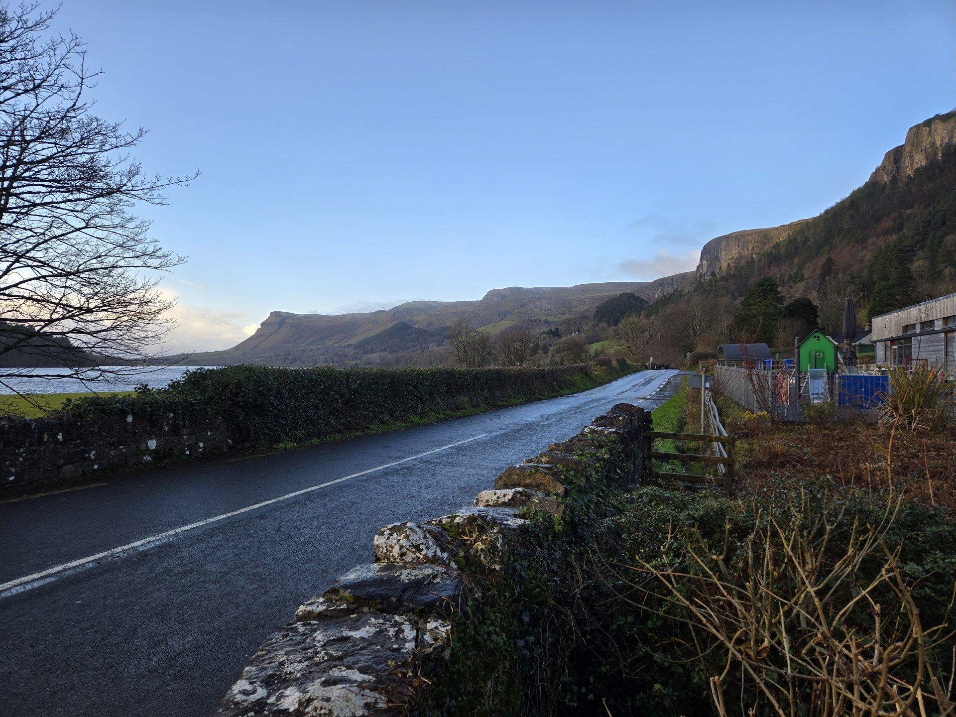
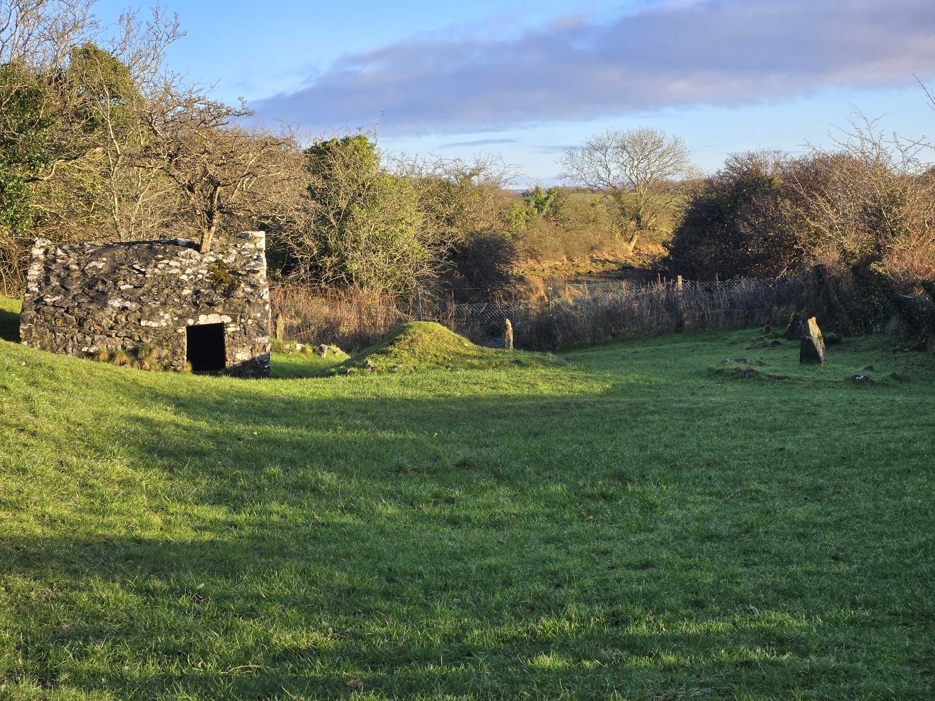
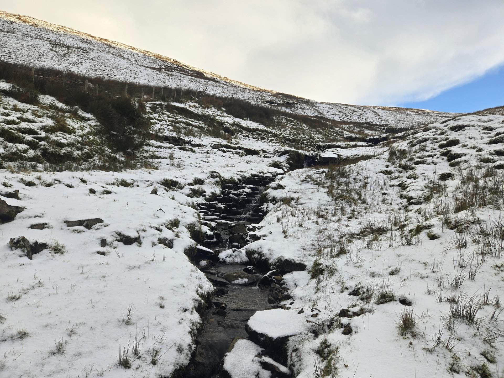
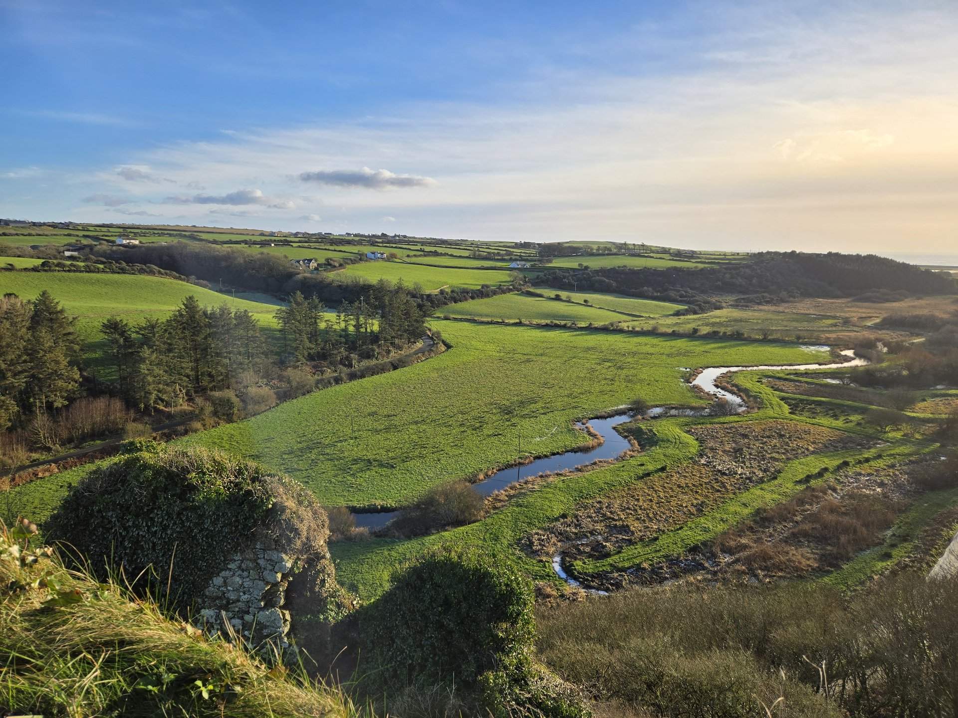
Glenade Valley (68 km)
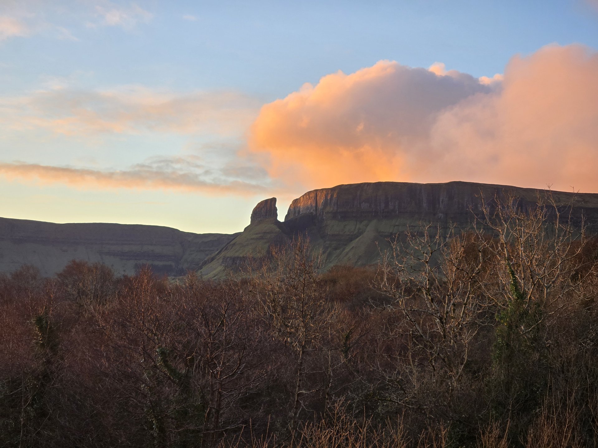
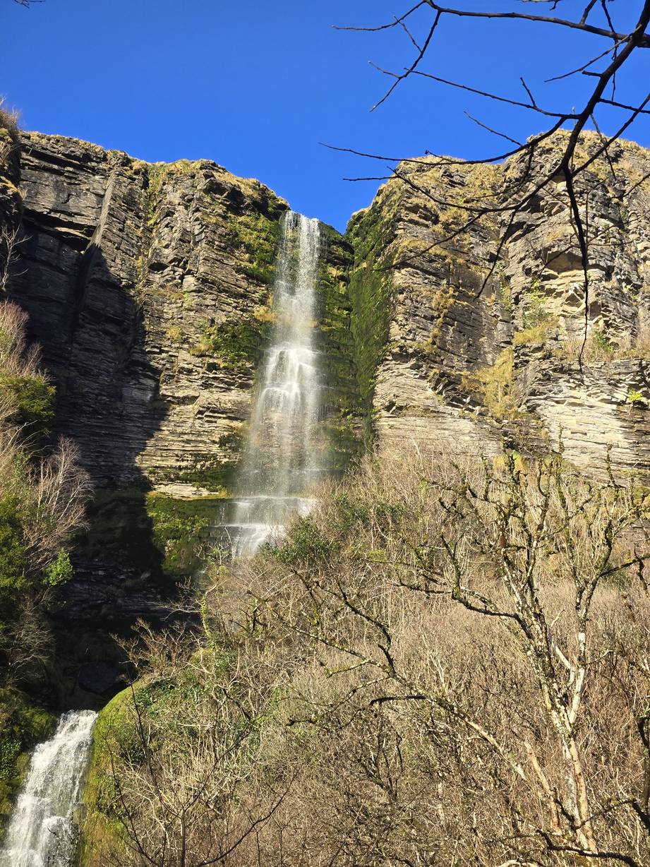
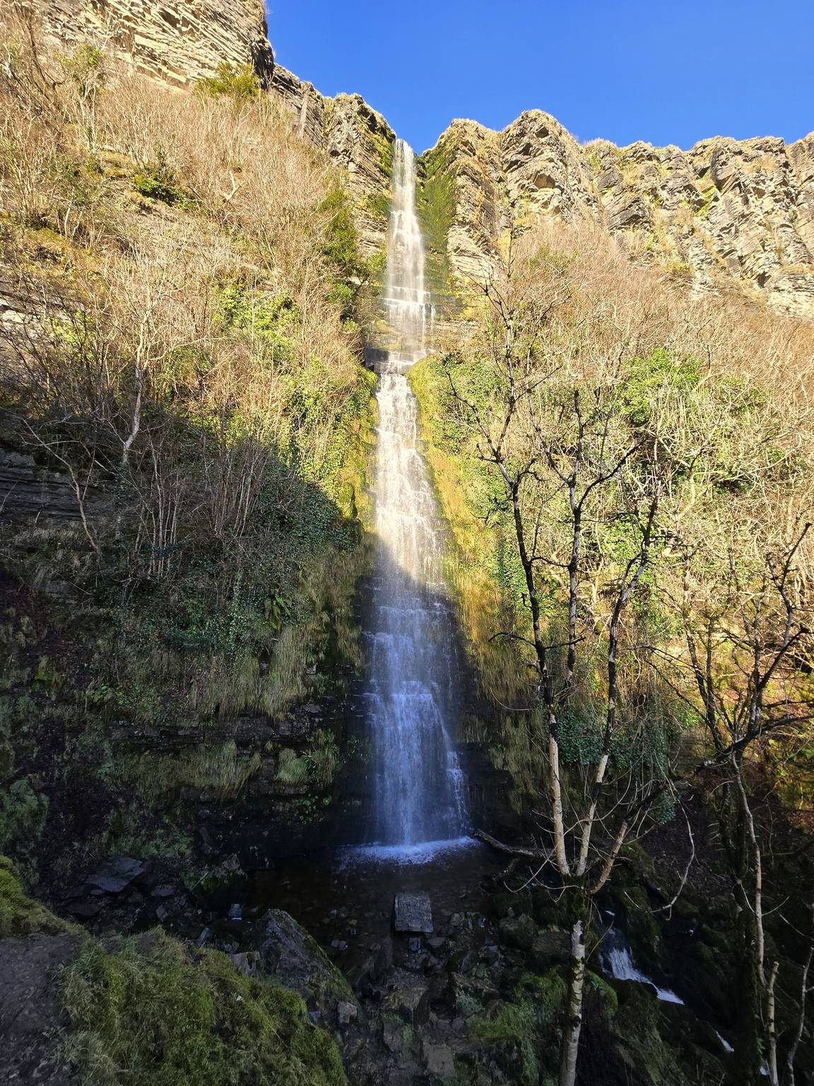
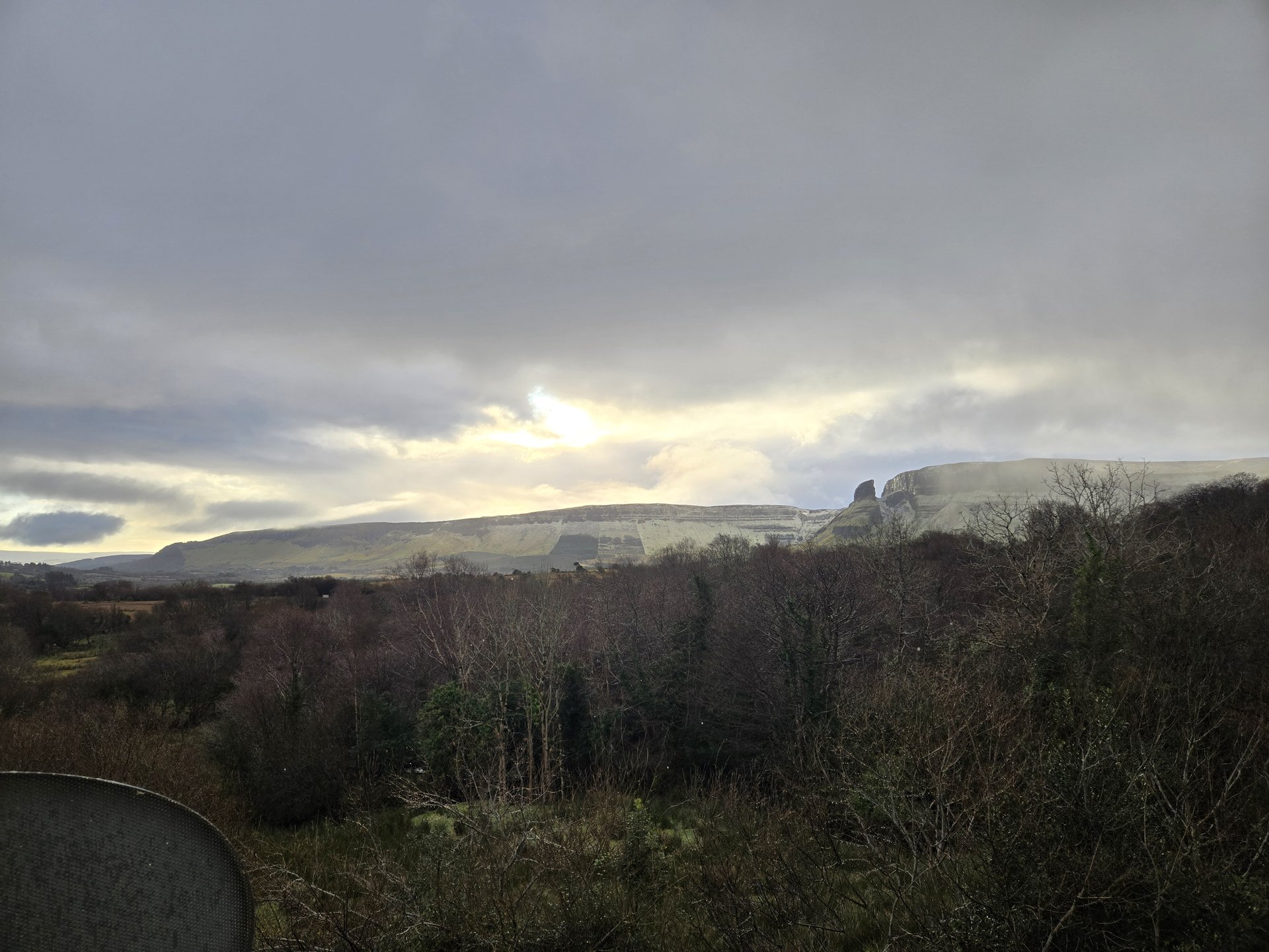
Thursday, January 2, 2025
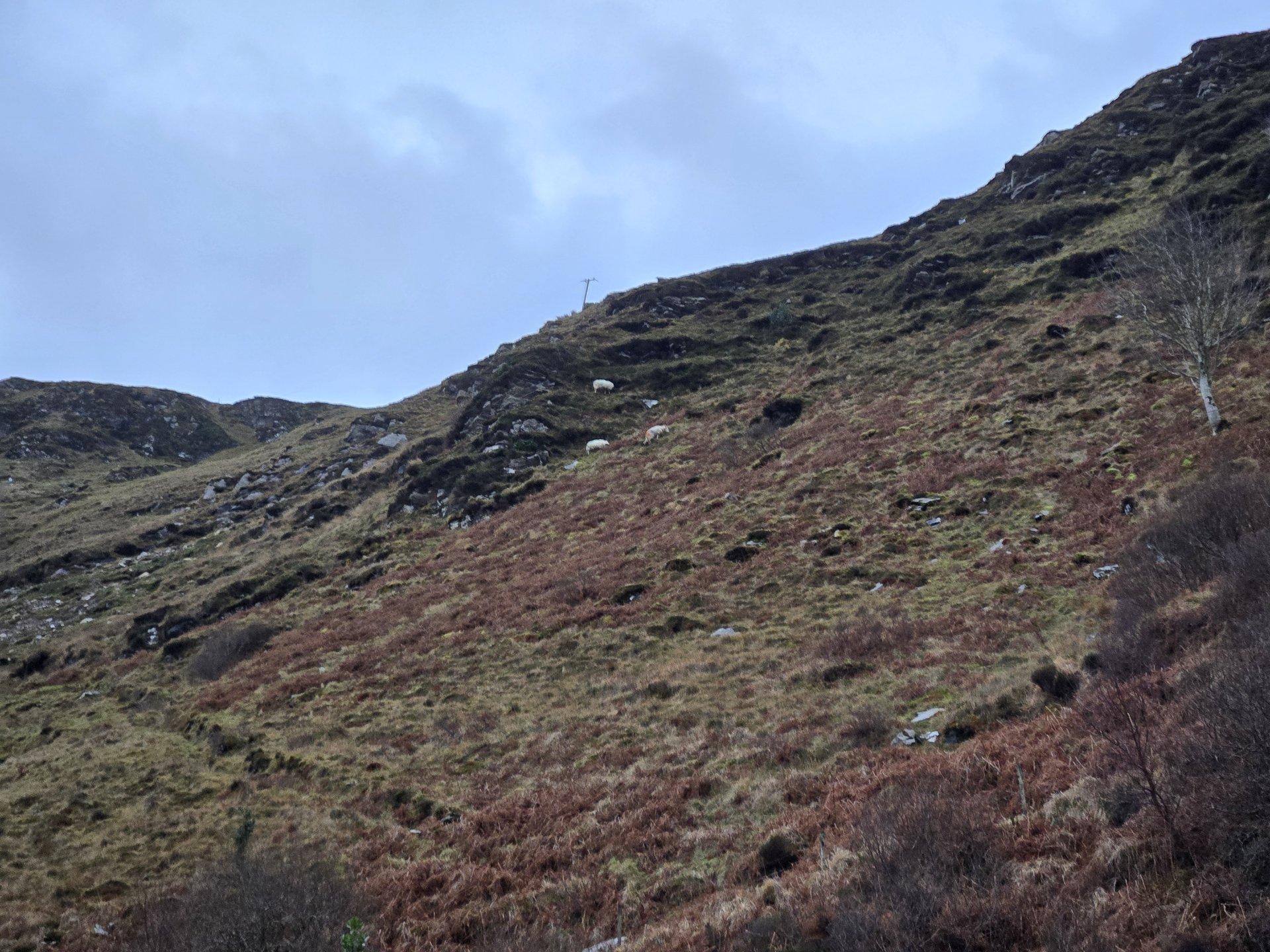
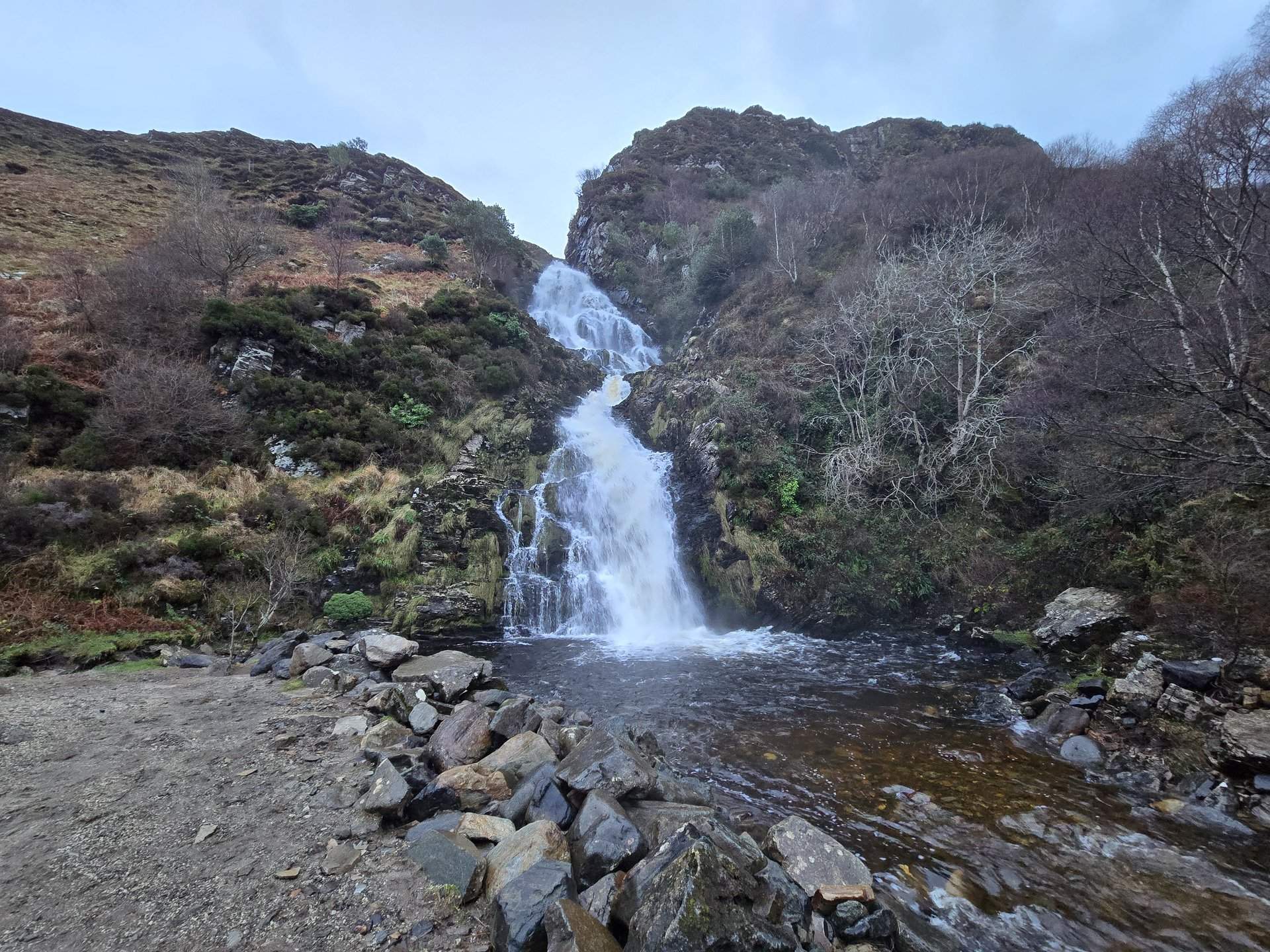
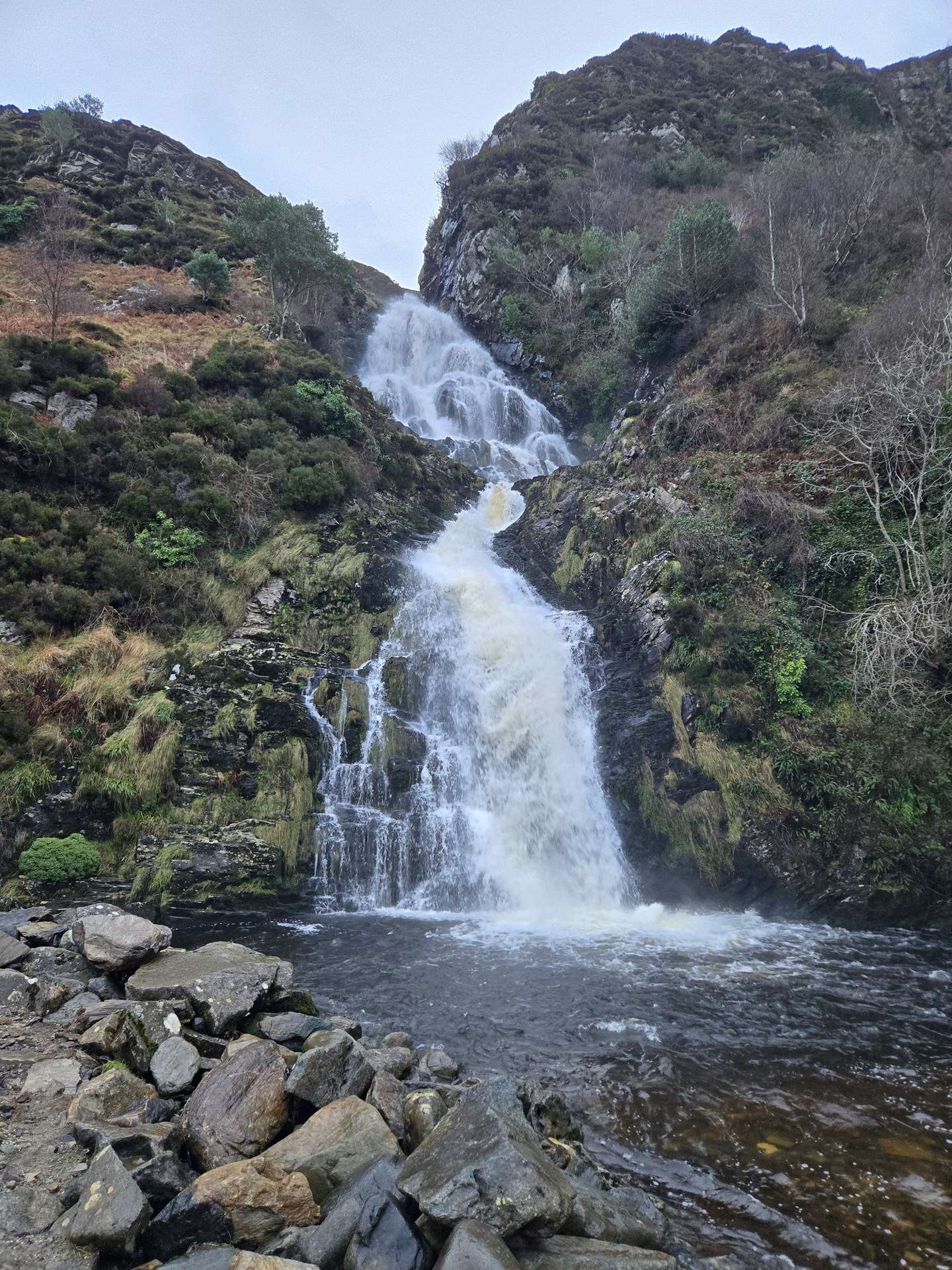
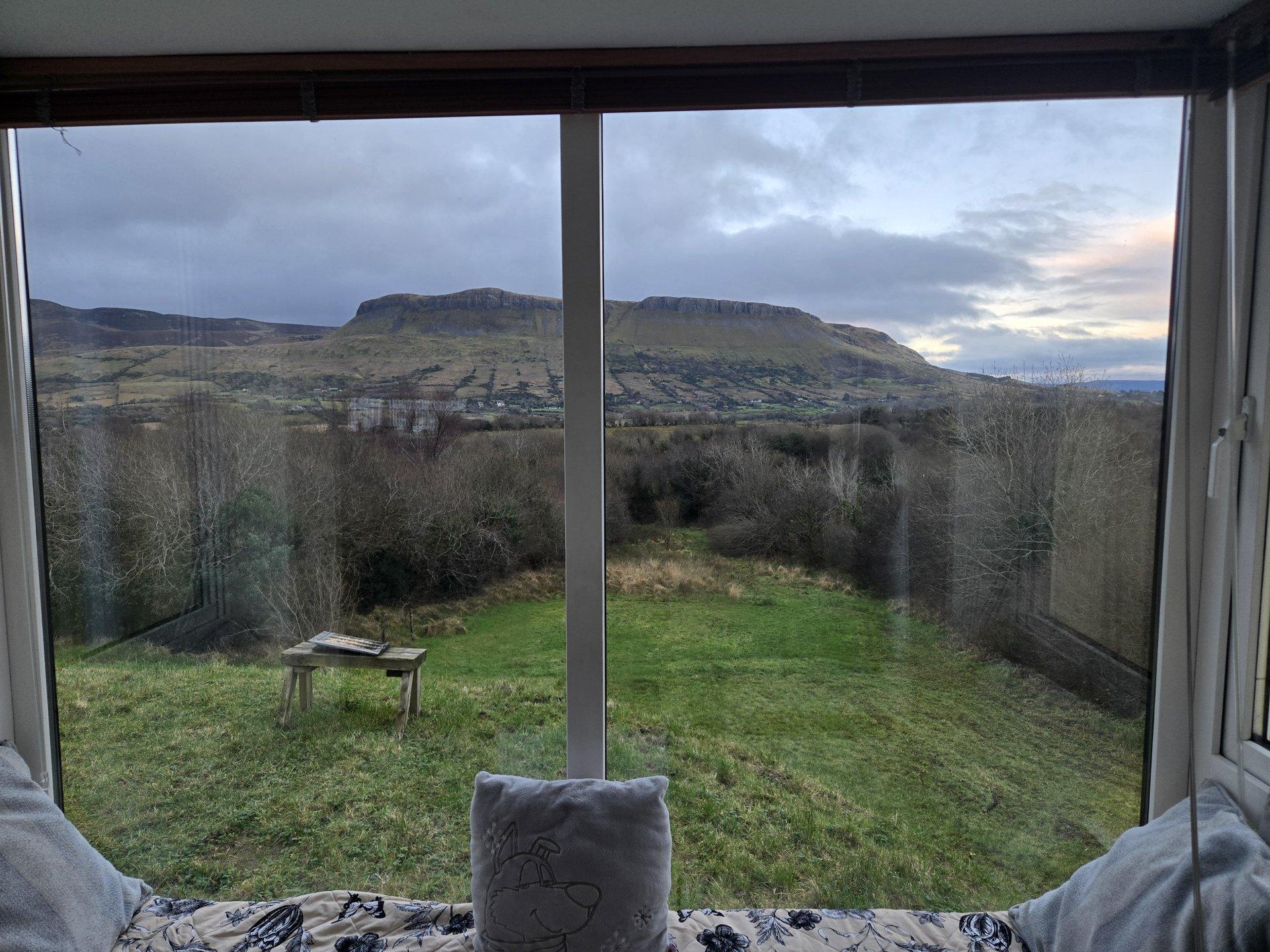
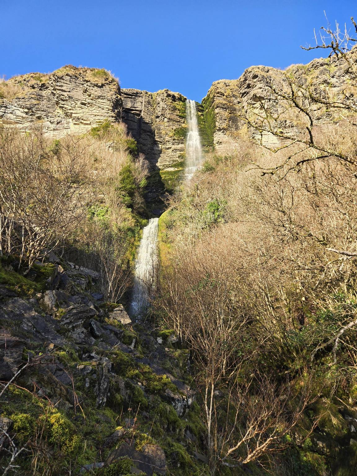
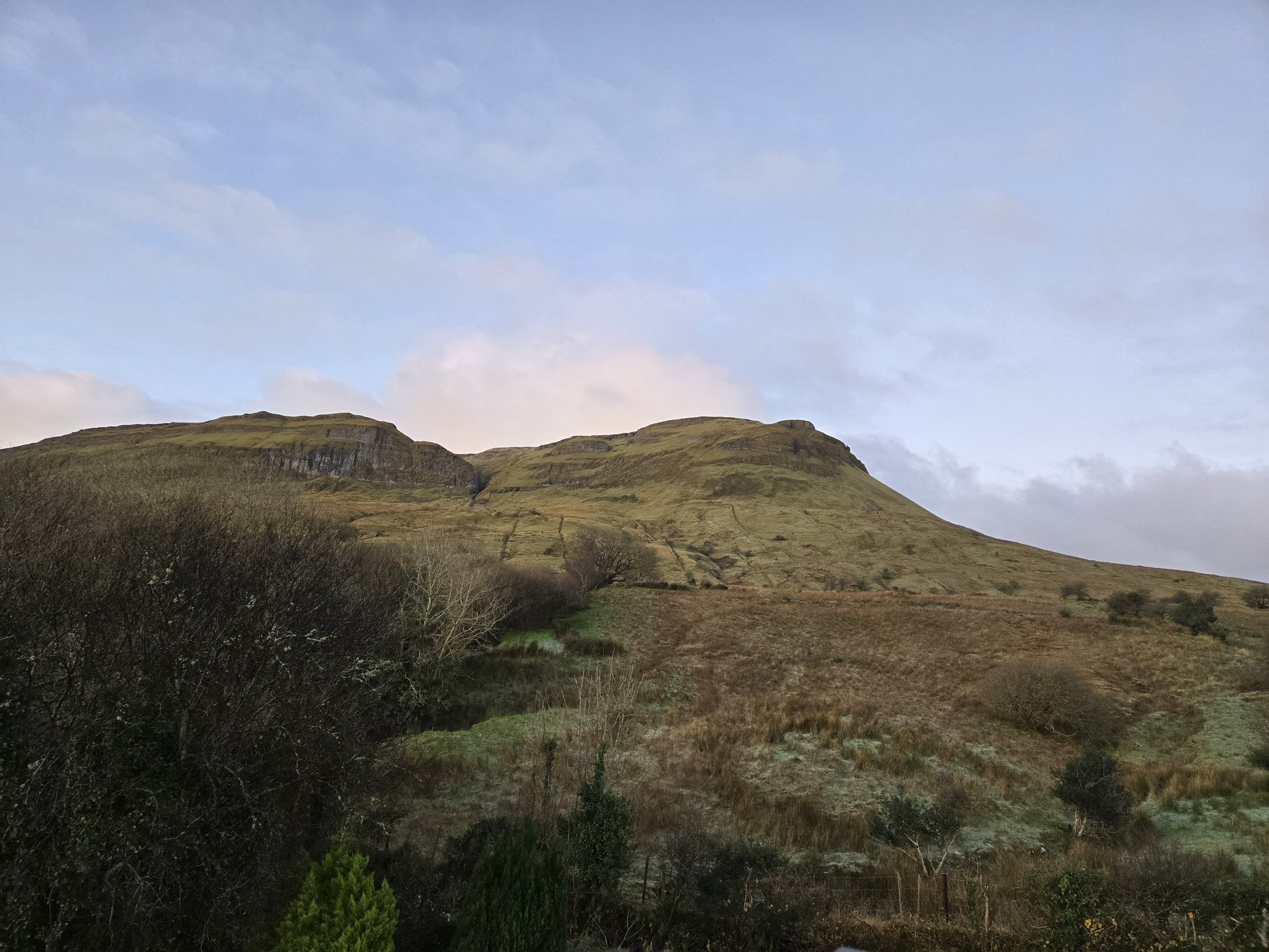
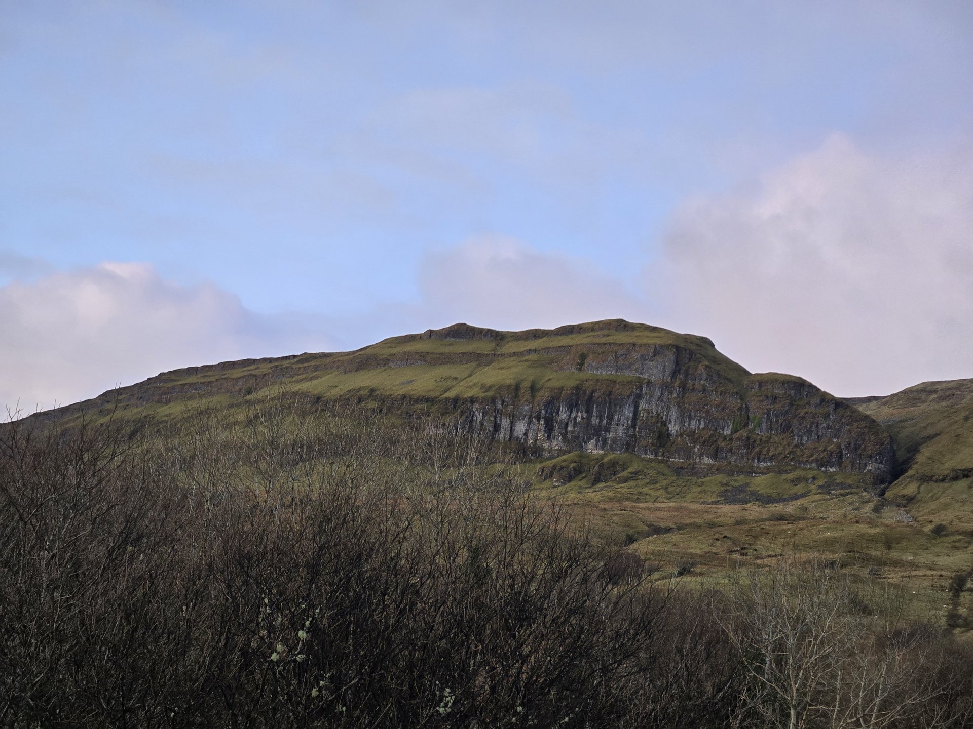
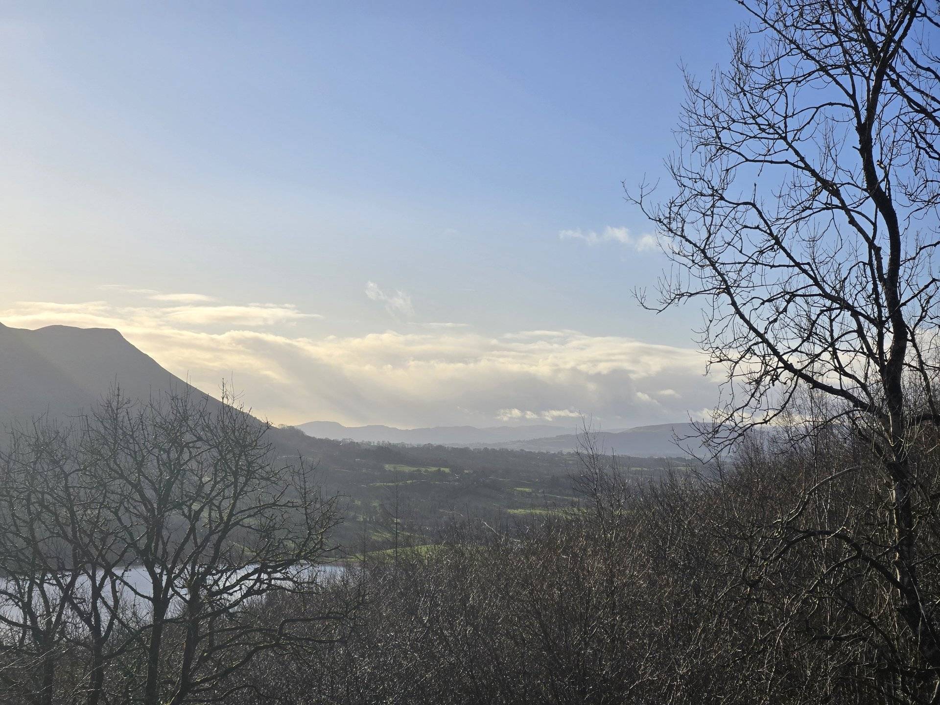
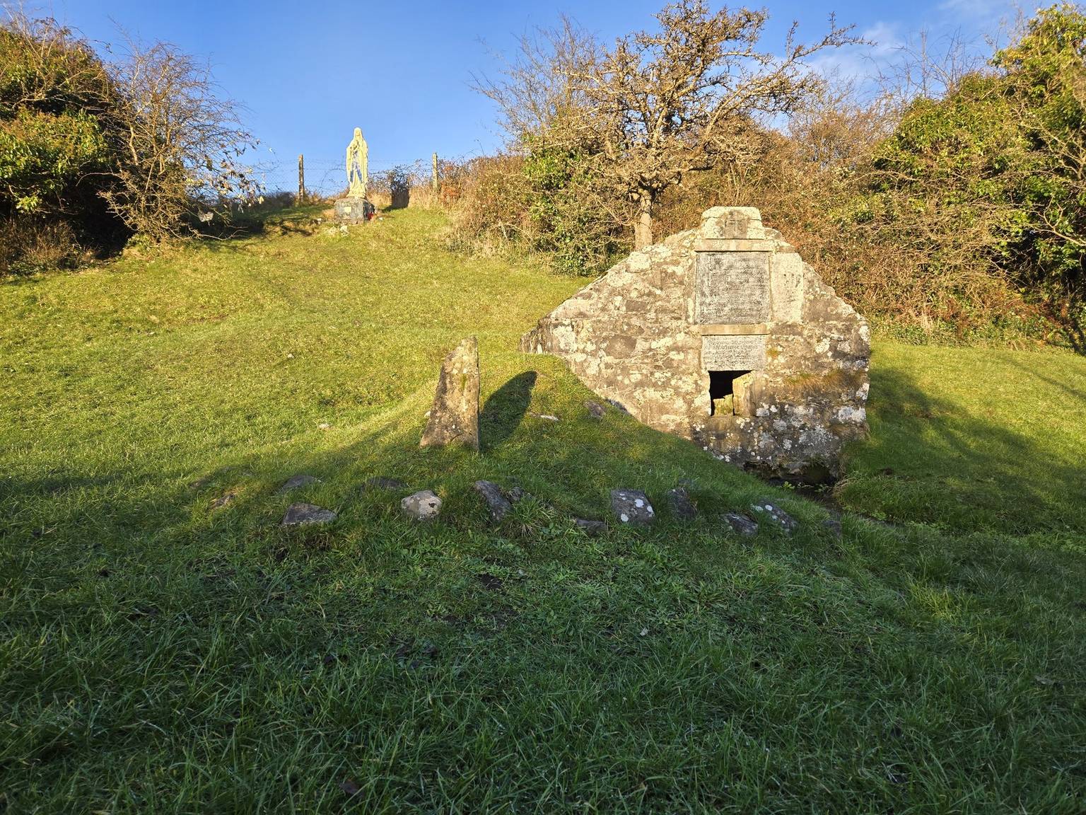
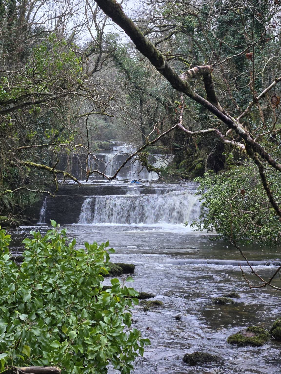
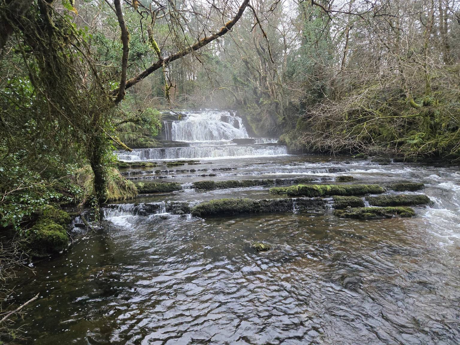
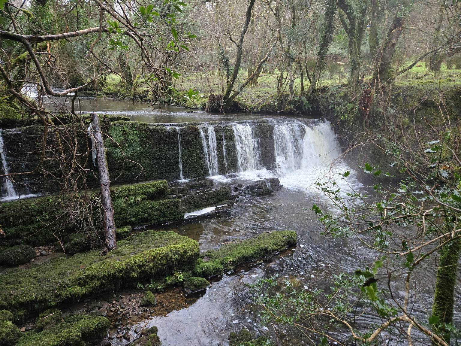
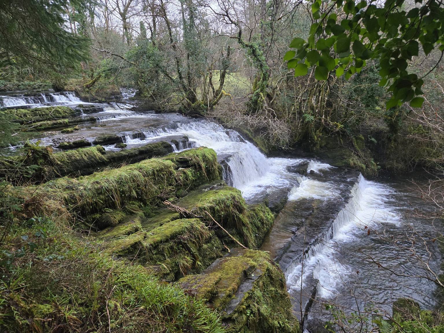
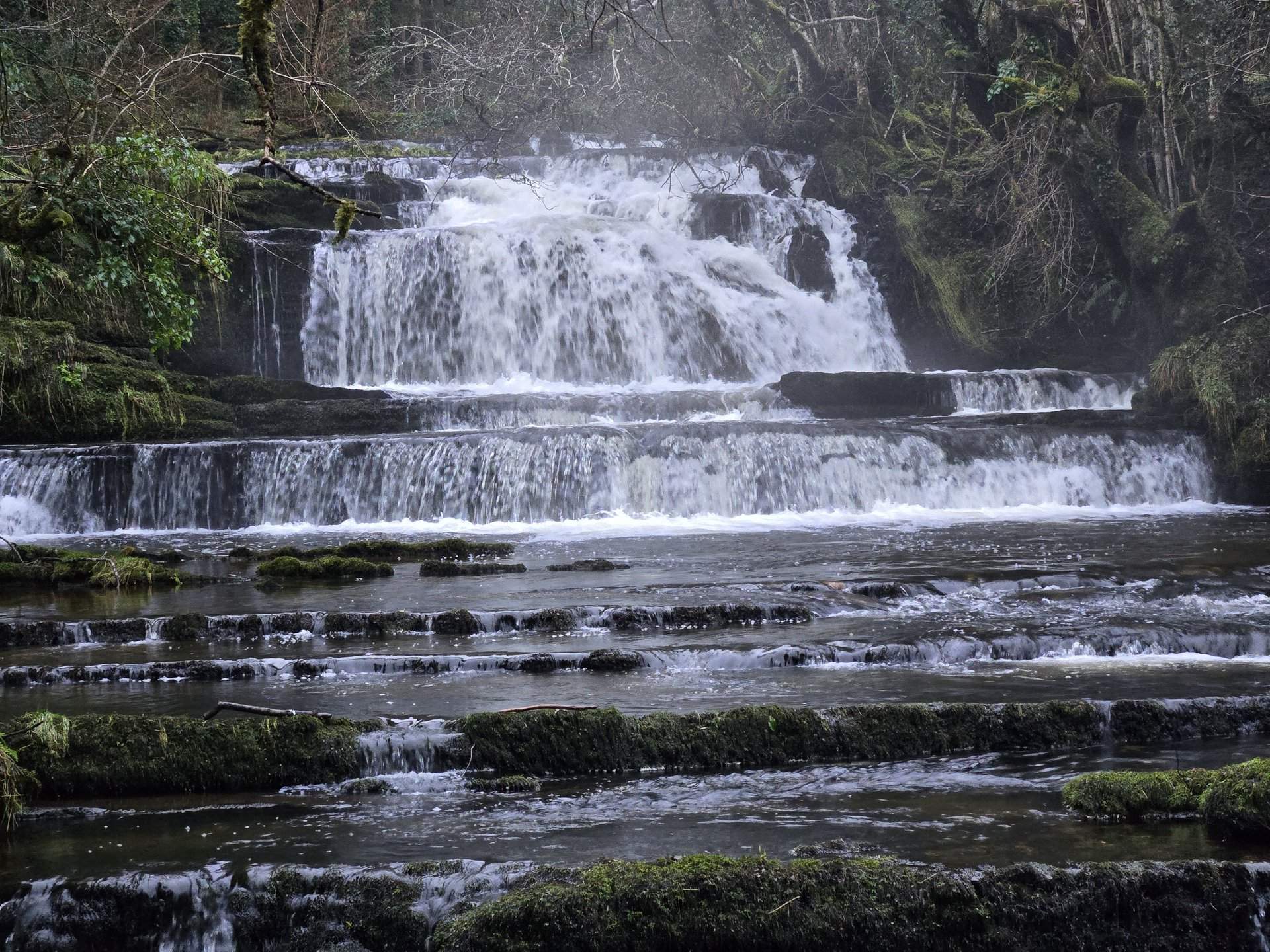
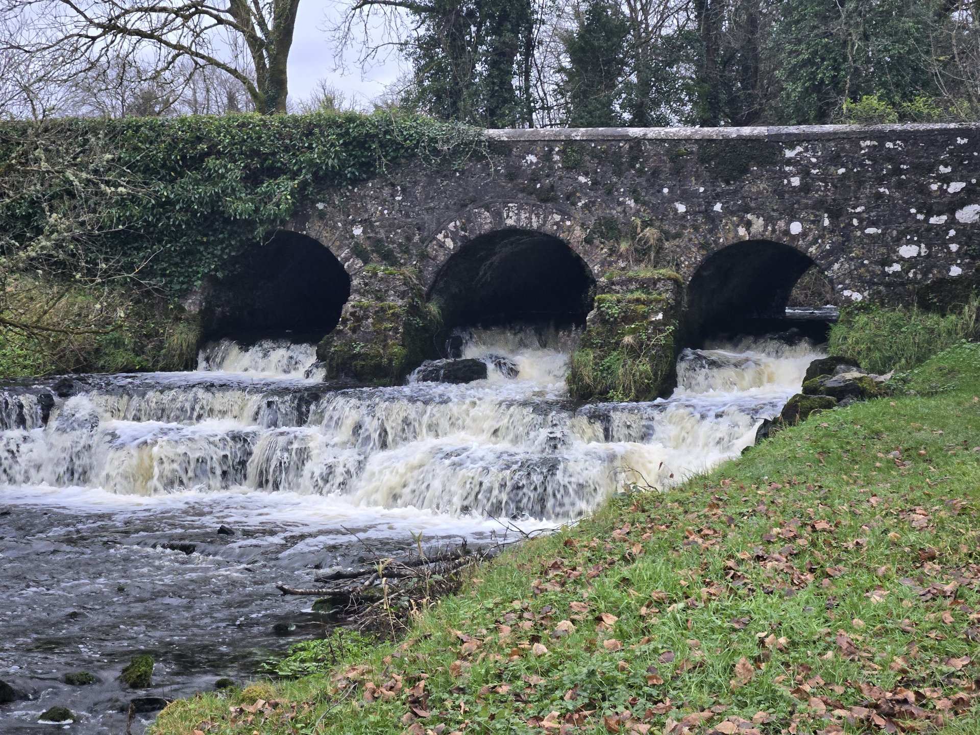
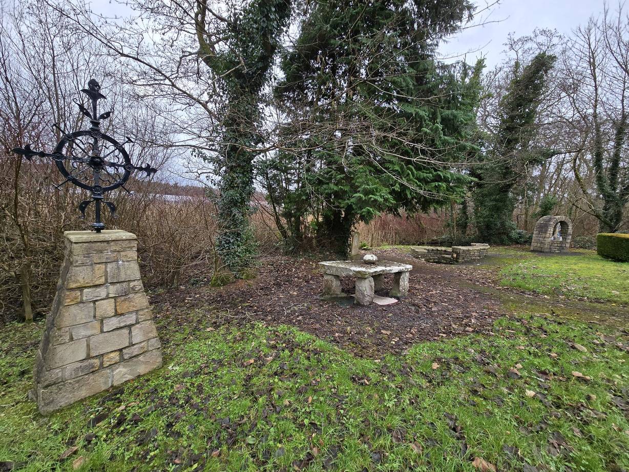
A short day exploring the immediate surroundings of the Glenade base, looping through Glencar with its lakeside waterfall. At just 68 km this was the slowest-paced day of the trip, with 60 photos taken across the Leitrim-Sligo border.
Day Statistics 68km • 290 photos
🗺️ Route Map
📸 Photos (16 of 56)
Refresh page to see different photos
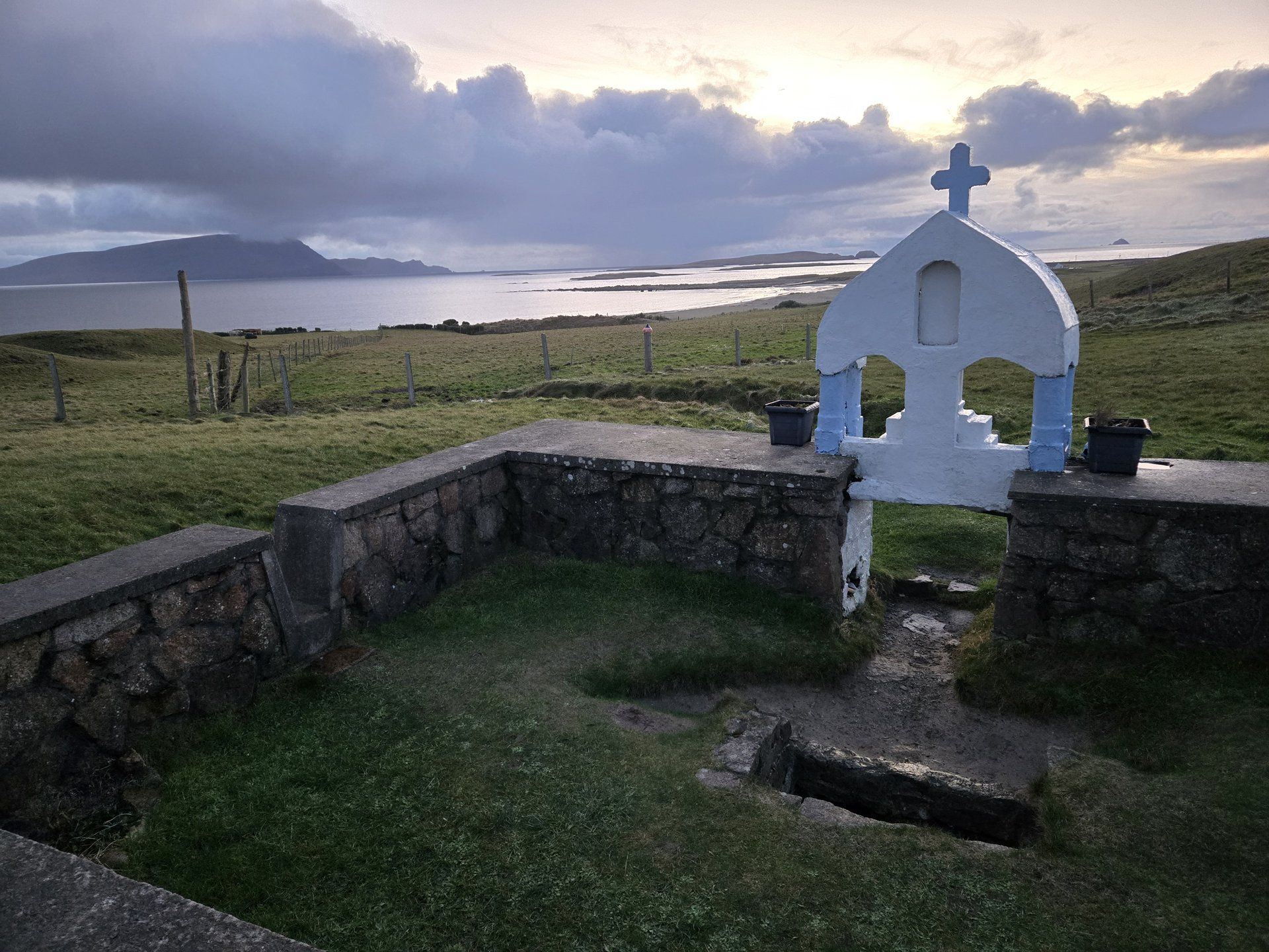
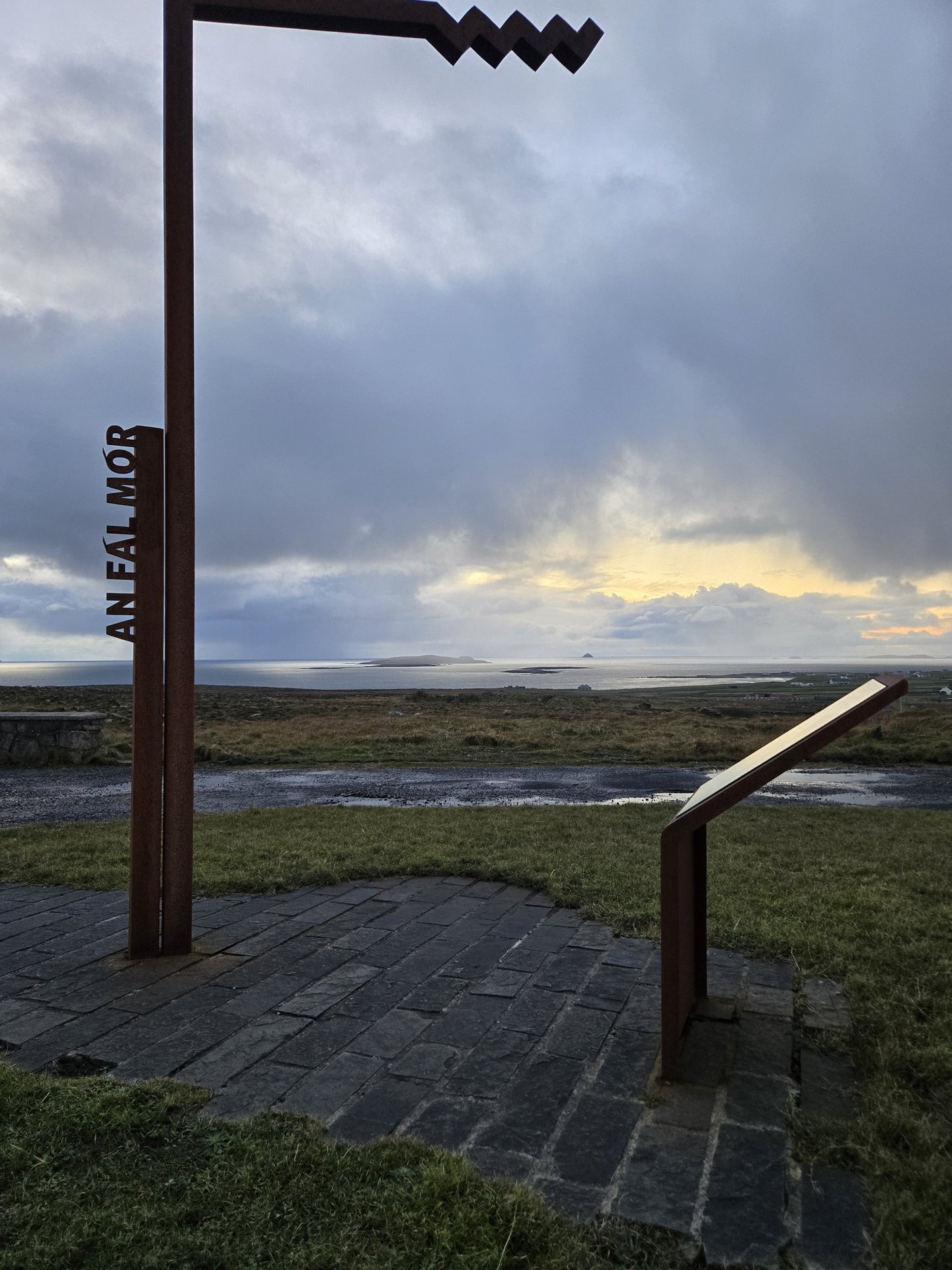
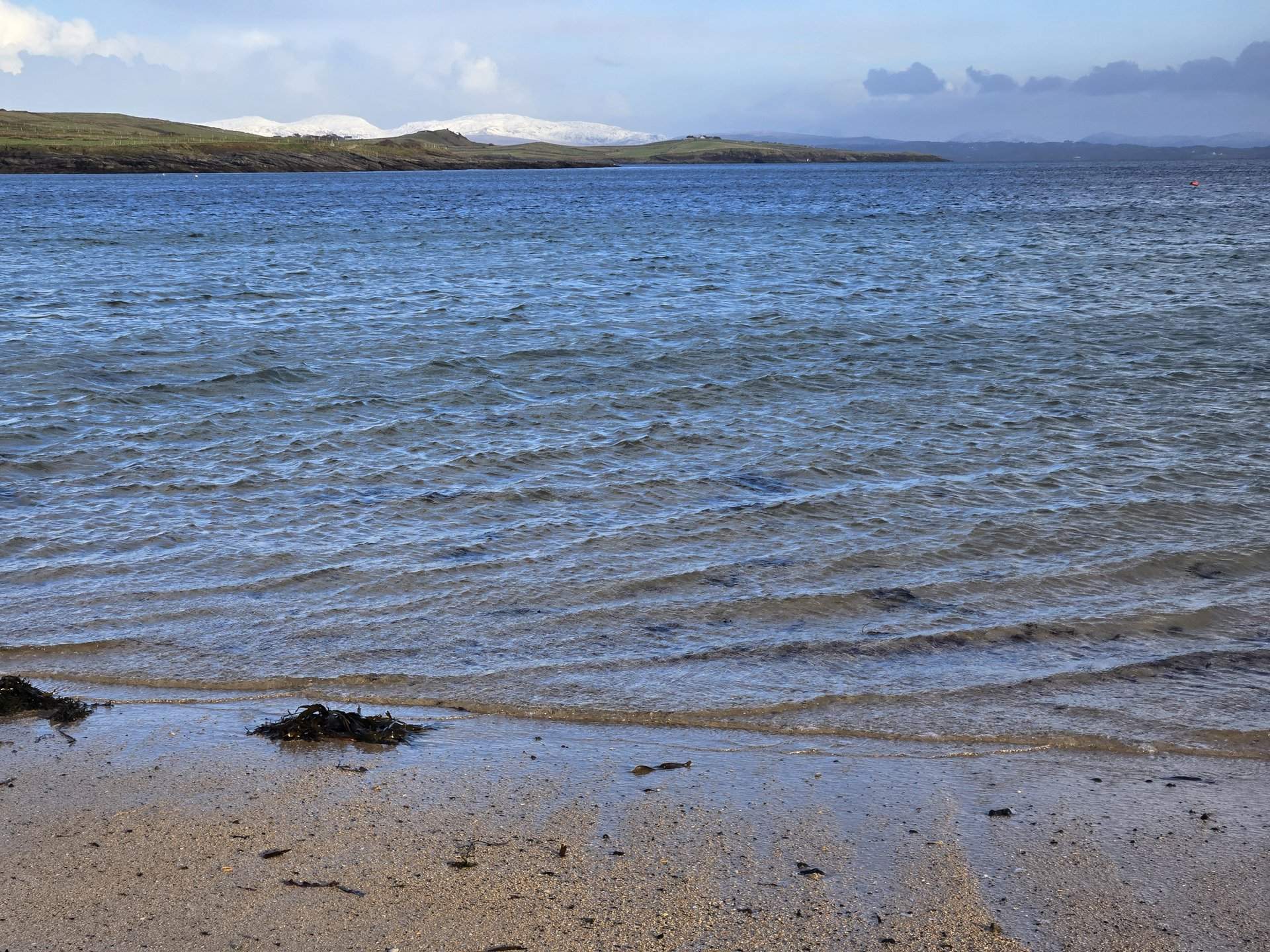
Sligo to Mayo: Belmullet & the Mullet Peninsula (393 km)
Friday, January 3, 2025
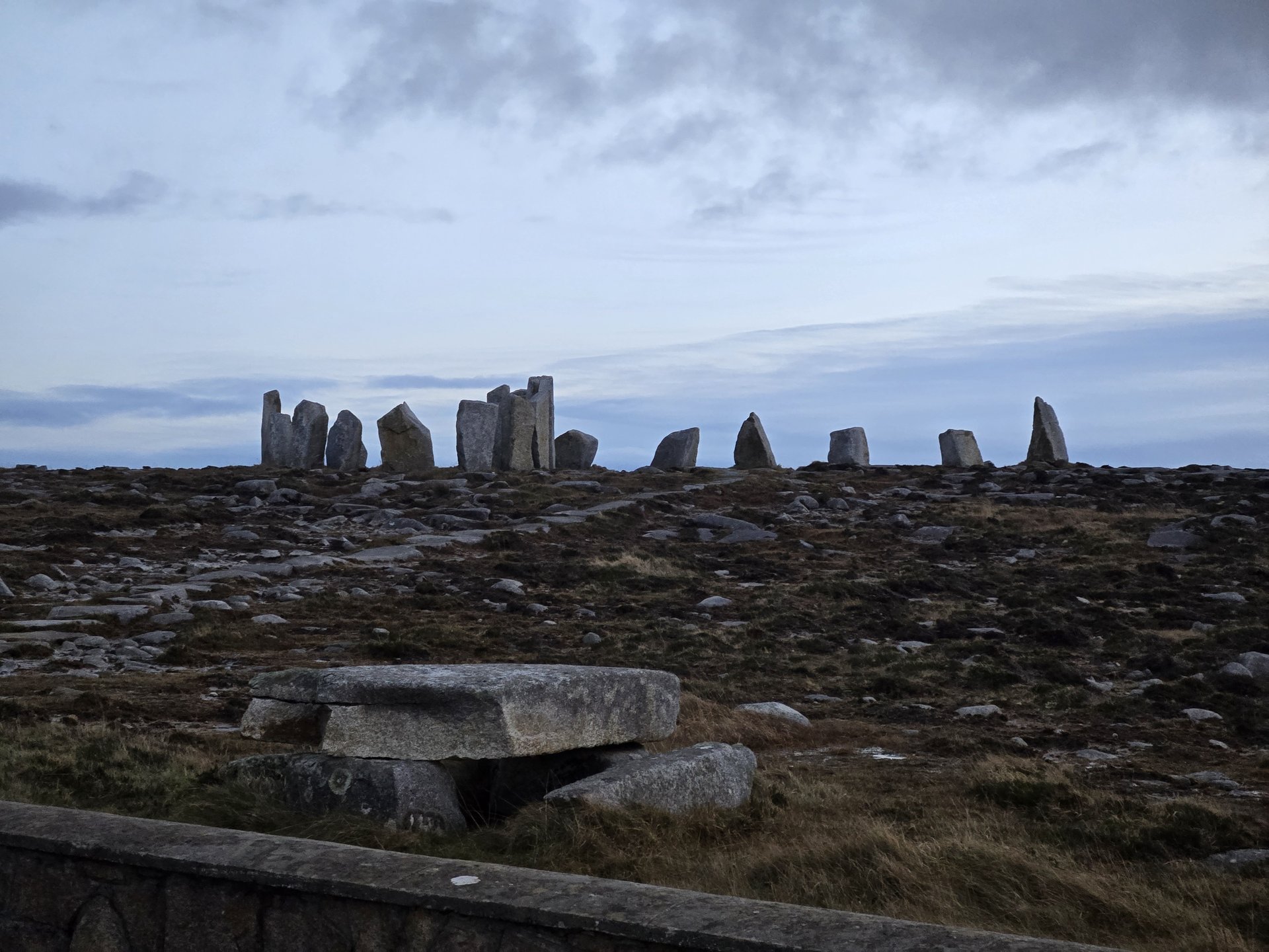
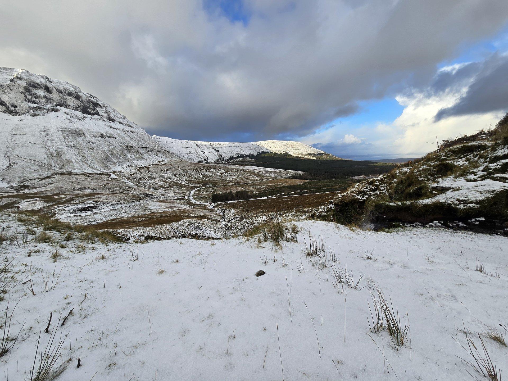
The longest day of the trip at 393 km, radiating west from the Kinlough base through Sligo, along the north Mayo coast past Ballycastle and Glenamoy, and out to Blacksod at the tip of the Mullet Peninsula. The return via Crossmolina and Glencar made this a full 12-hour winter loop.
Show full route (57 stops)
Day Statistics 393km • 290 photos
🗺️ Route Map
📸 Photos (16 of 31)
Refresh page to see different photos
Short Loop: Kinlough to Ballaghameehan (48 km)
Saturday, January 4, 2025
The shortest driving day of the trip, a 48 km loop from Kinlough south through Buckode to Ballaghameehan in the hills above Glenade. A quiet Saturday on the back roads of north Leitrim.
Day Statistics 48km • 290 photos
🗺️ Route Map
📸 Photos

Sligo to Leitrim Loop: Boyle & Drumshanbo (202 km)
Sunday, January 5, 2025
A day-trip loop south from Kinlough through Sligo and Collooney into County Roscommon, reaching Boyle and Rockingham before turning east to Carrick-on-Shannon and Drumshanbo. The return leg ran north through Dowra and Manorhamilton back to Glenade.
Show full route (35 stops)
Day Statistics 202km • 290 photos
🗺️ Route Map
📸 Photos
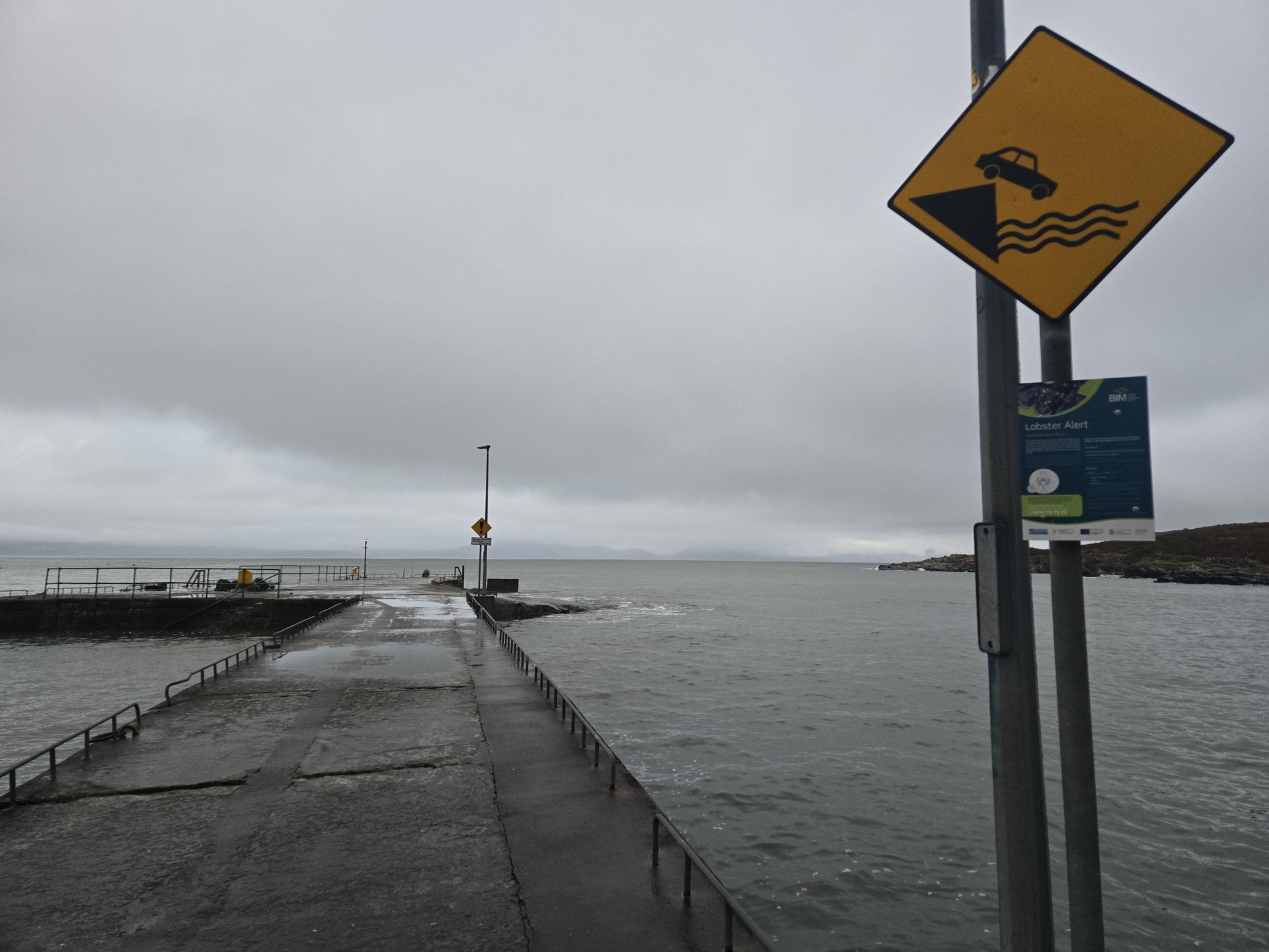
Donegal Return: Killybegs & Crownarad (192 km)
Monday, January 6, 2025
Another day-trip north from Kinlough into Donegal, this time following the coast through Donegal town, Inver, and Dunkineely to the fishing port of Killybegs before climbing inland to Crownarad. The route returned south via Cavangarden.
Show full route (14 stops)
Day Statistics 192km • 290 photos
🗺️ Route Map
📸 Photos
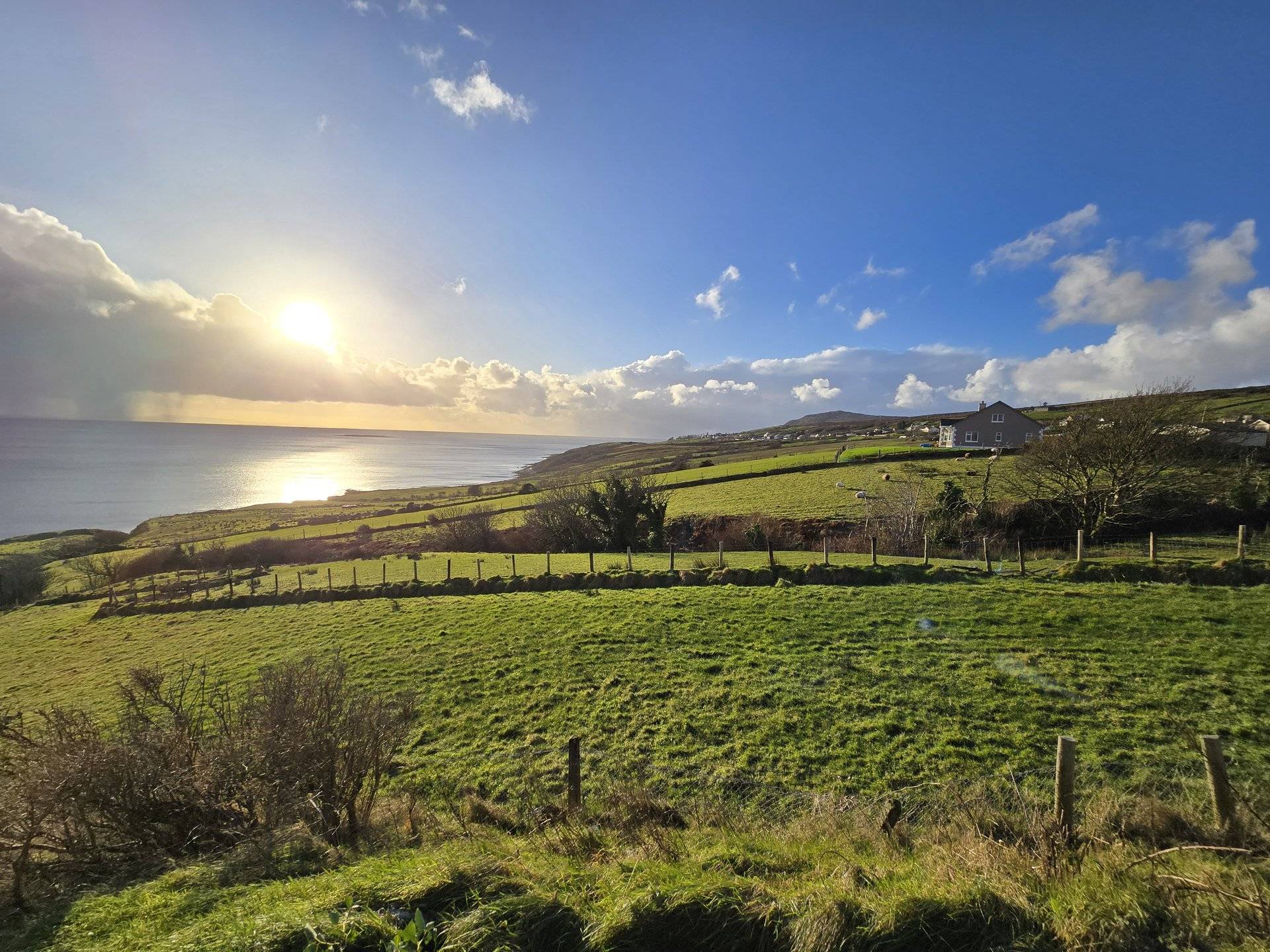
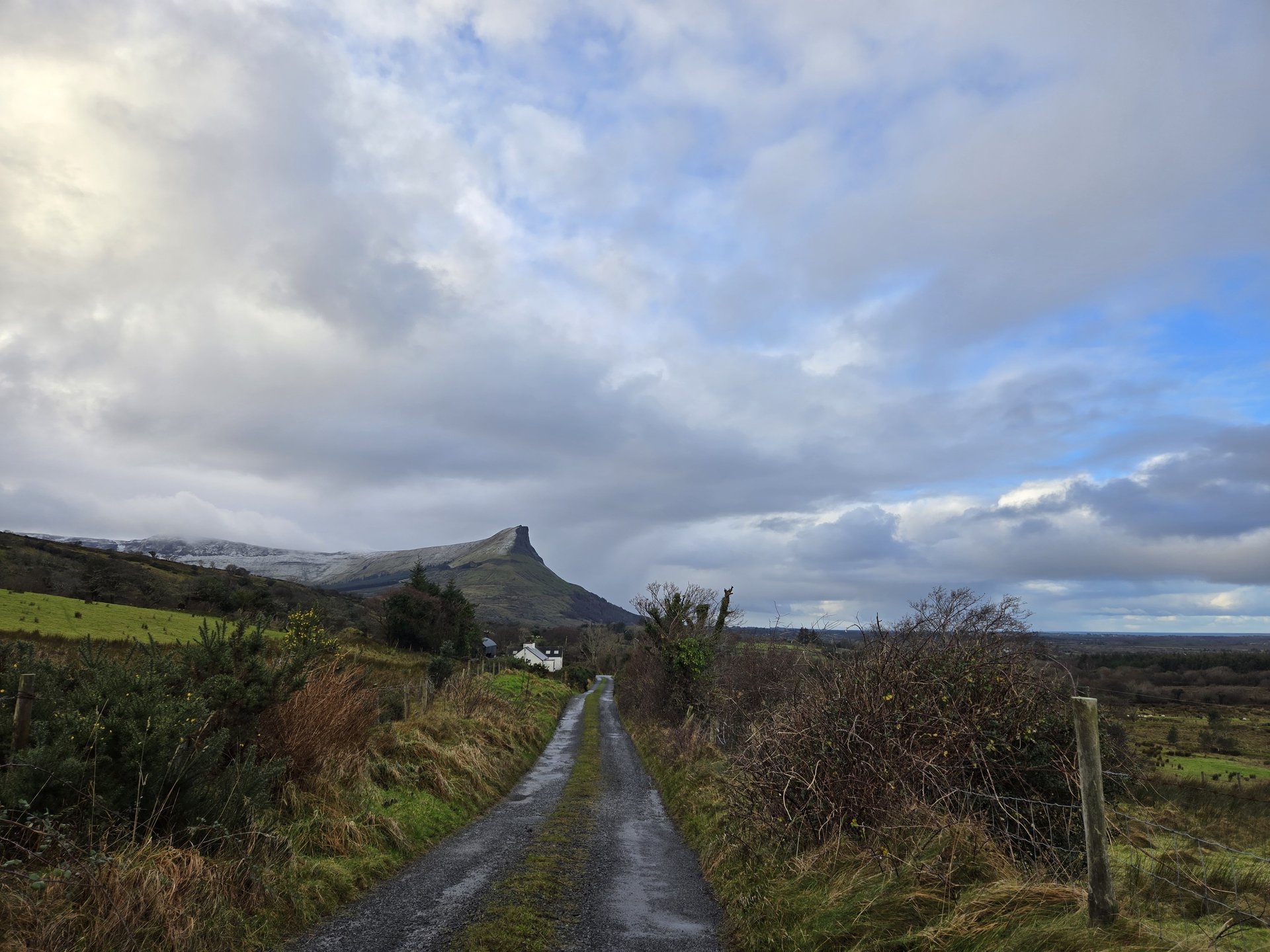
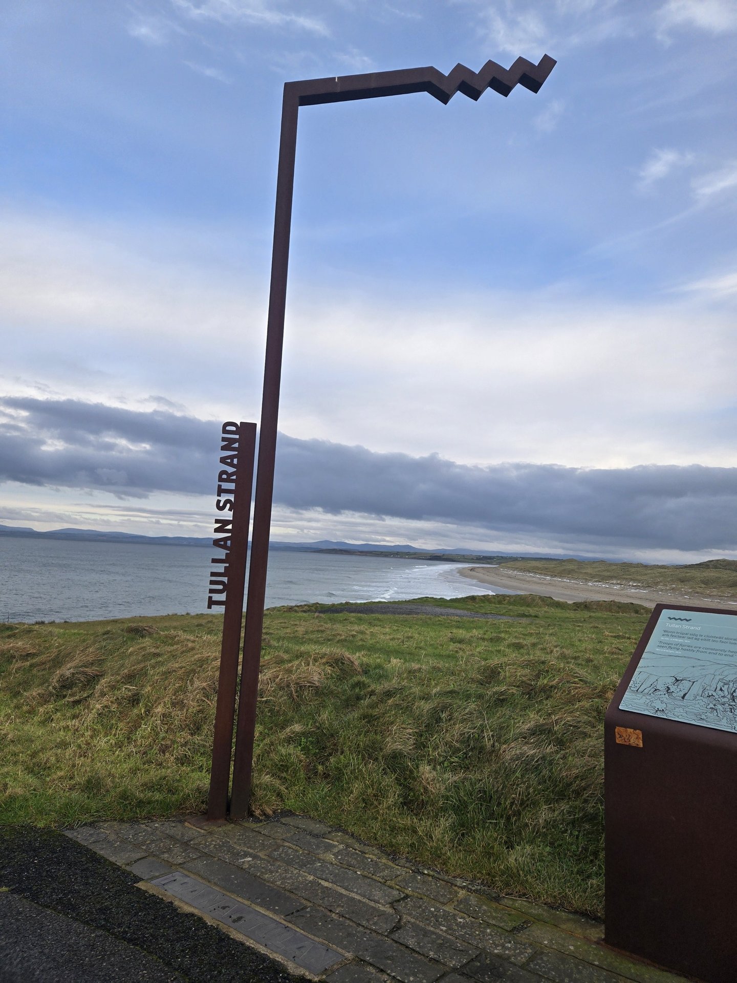
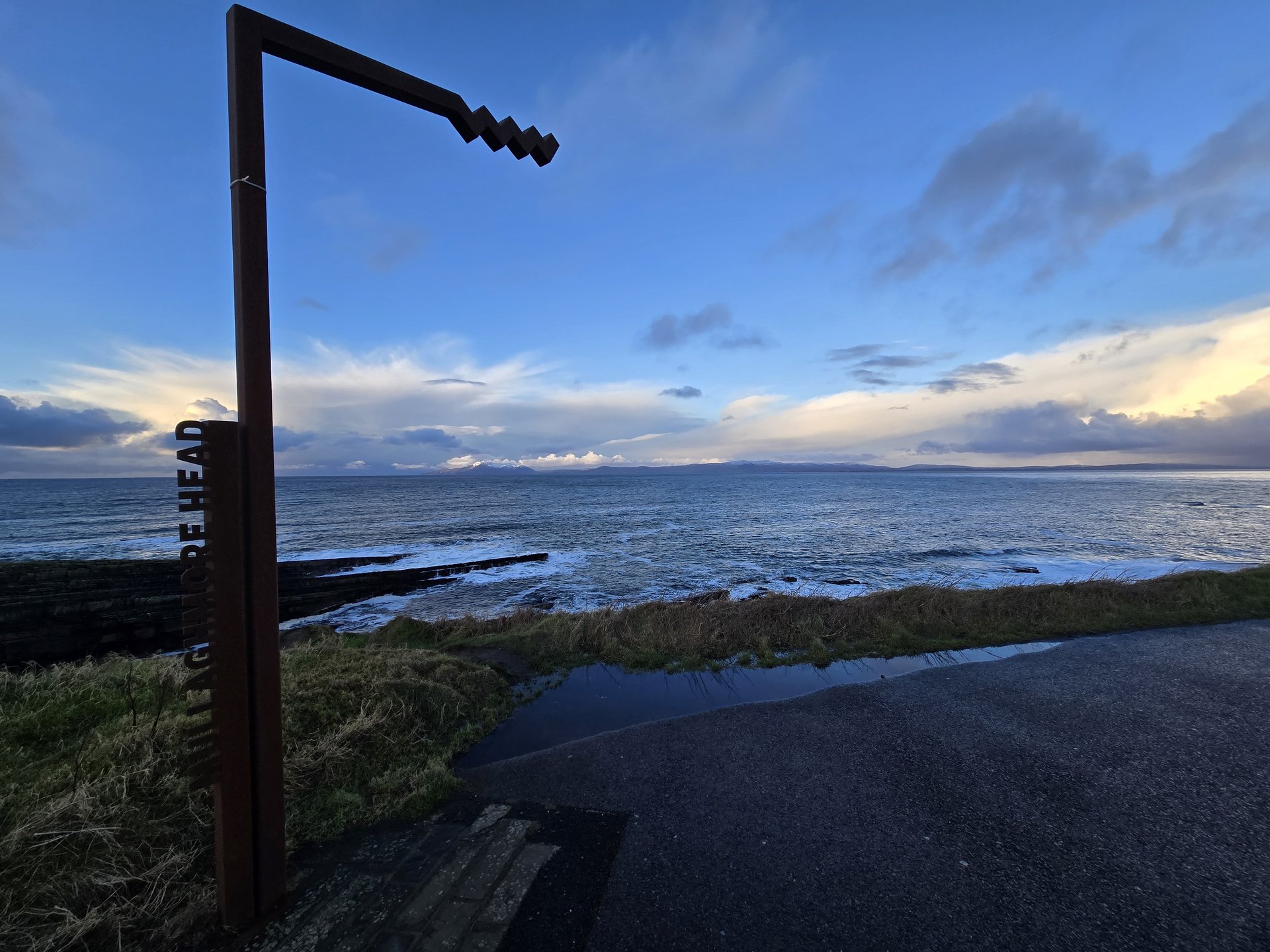
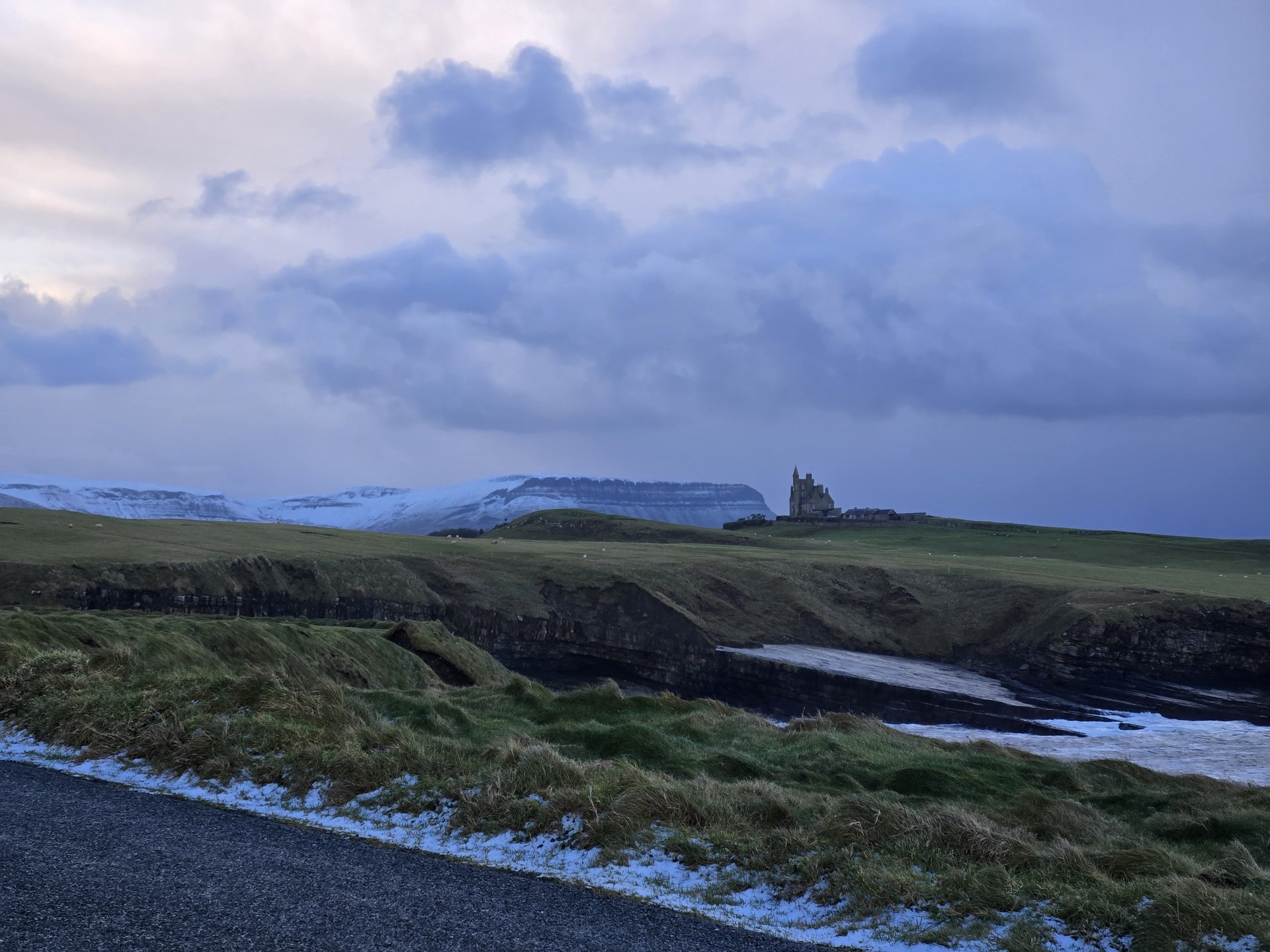
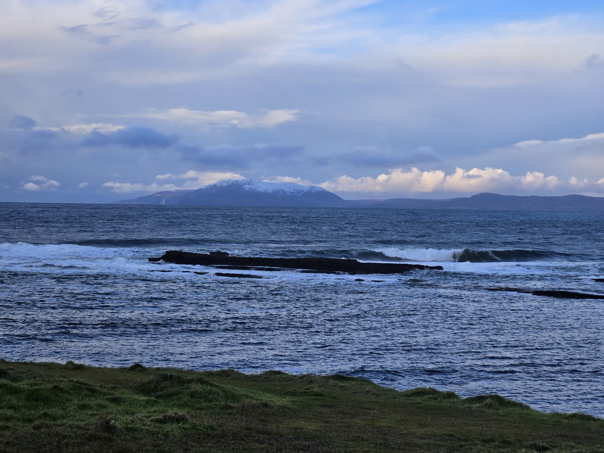
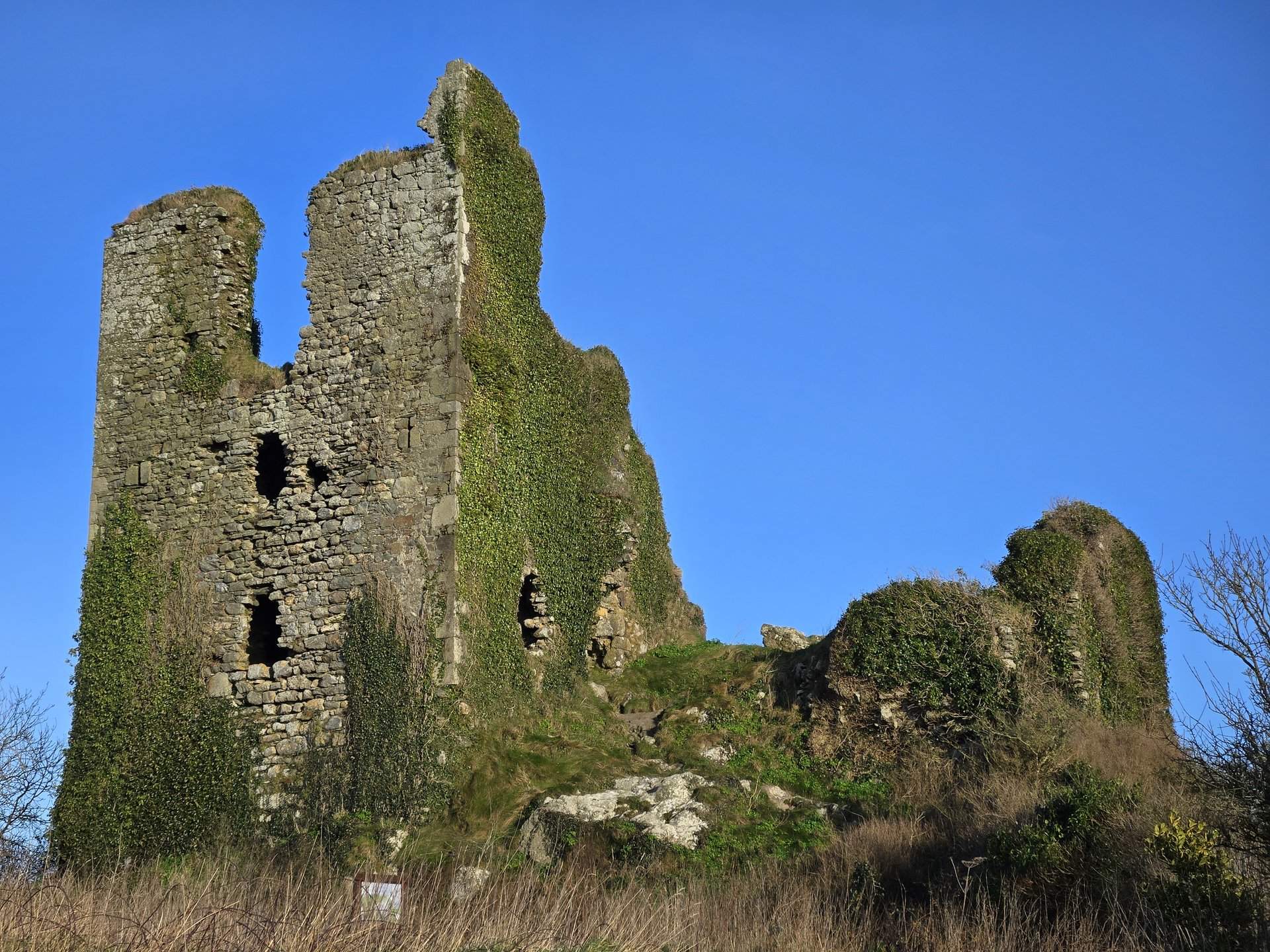
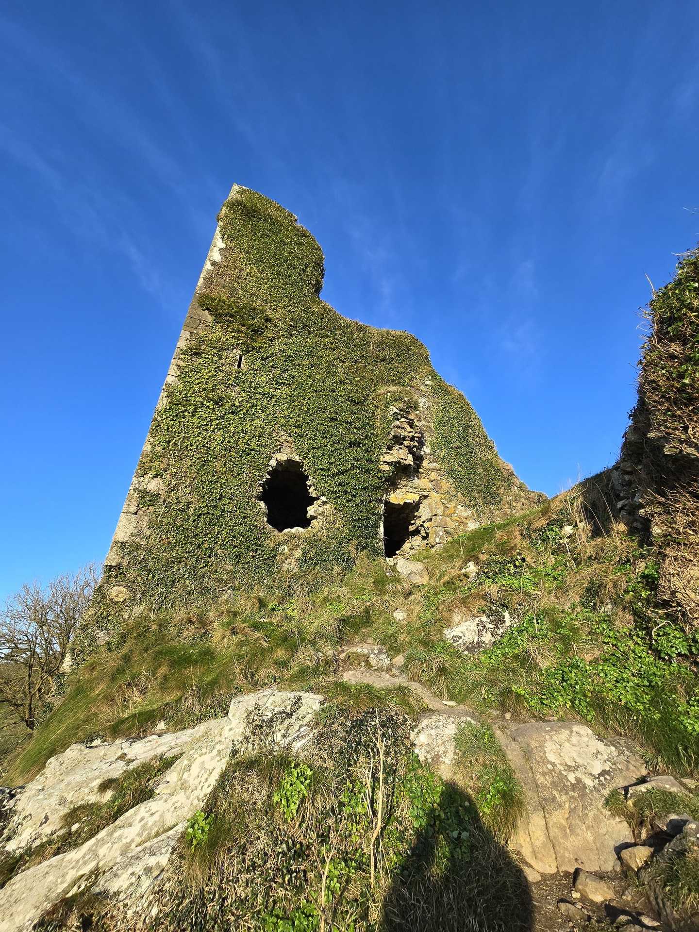
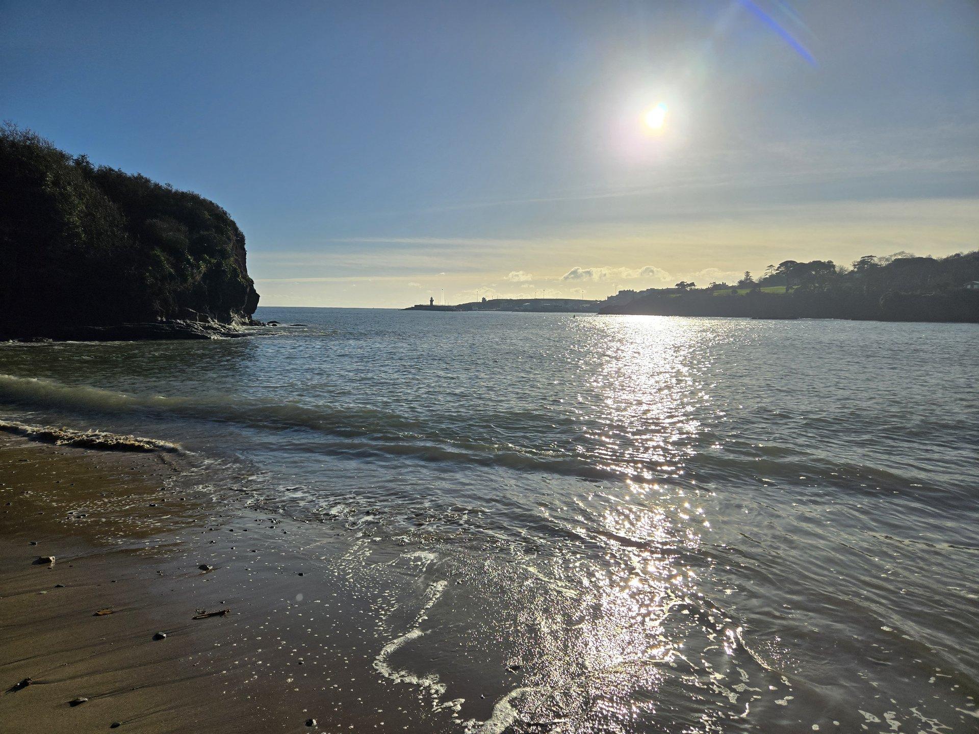
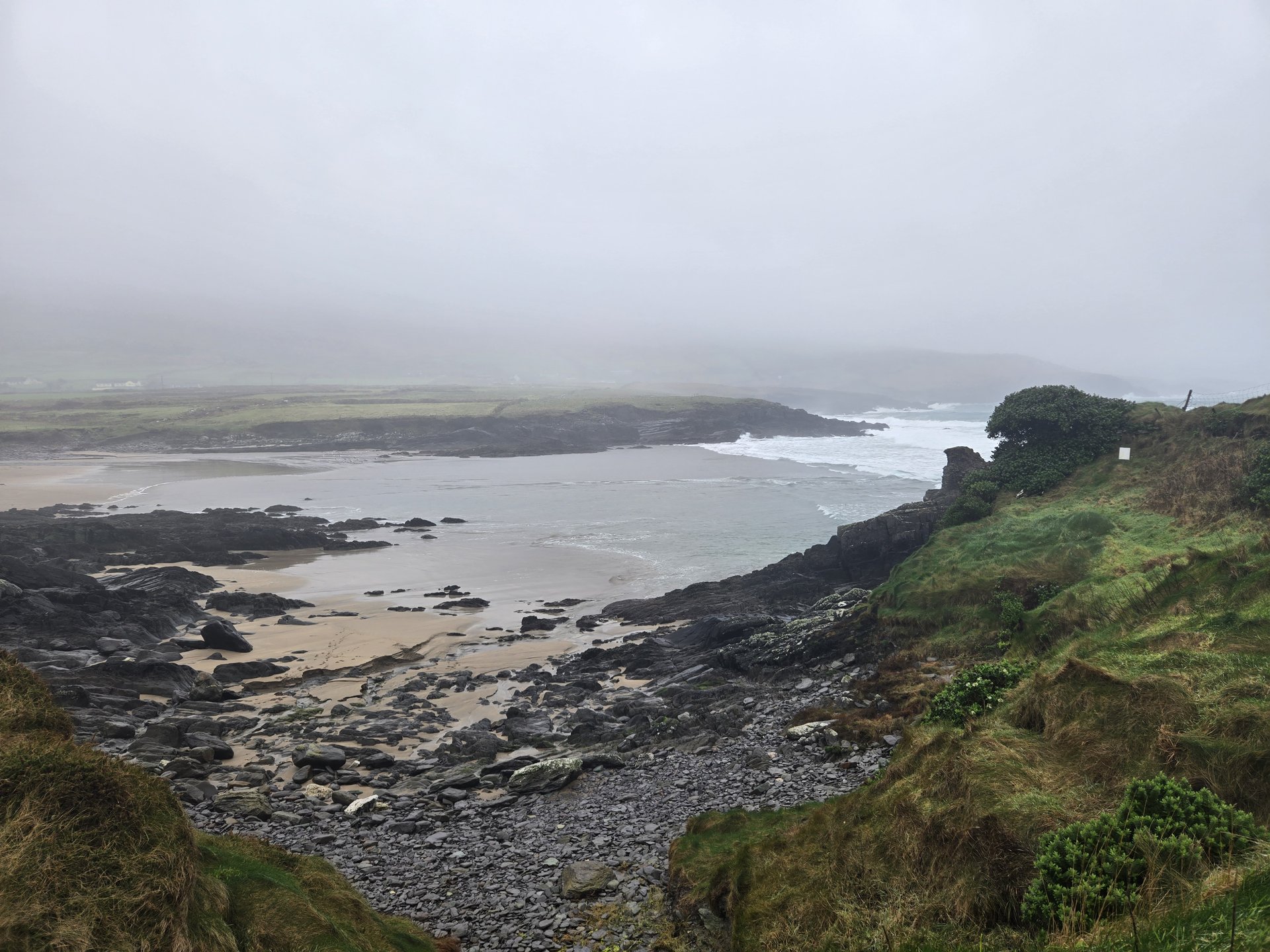
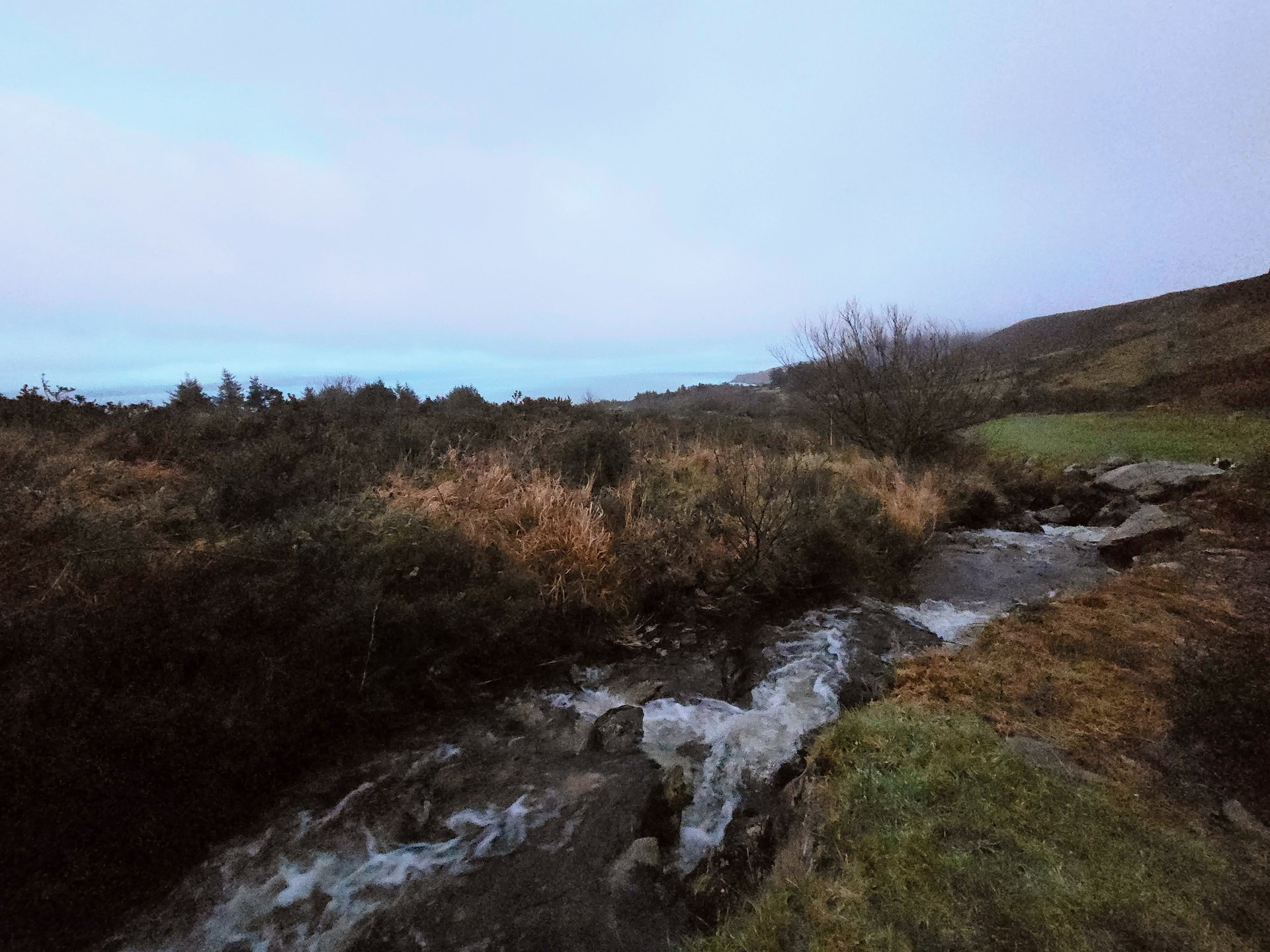
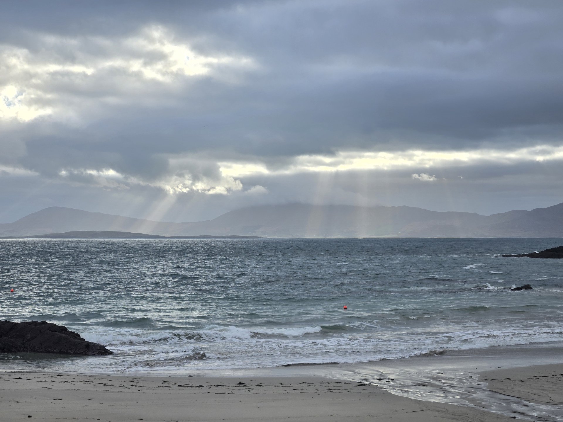
Sligo Coast: Streedagh to Maugherow (96 km)
Tuesday, January 7, 2025
A coastal loop along the north Sligo shoreline, passing through Cliffony to Streedagh Beach and around the Lissadell and Maugherow headlands. At 96 km and 33 photos, this was one of the more photo-intensive days relative to distance.
Show full route (8 stops)
Day Statistics 96km • 290 photos
🗺️ Route Map
📸 Photos (16 of 32)
Refresh page to see different photos
Cross-Country: Leitrim to Waterford via Kilkenny (321 km)
Wednesday, January 8, 2025
A 321 km transit day leaving the Glenade base and driving south through the Irish midlands -- Drumshanbo, Longford, Kilbeggan, Portlaoise -- before crossing into Kilkenny and continuing to Waterford. This marked the shift from the northwest leg to the southeast coast.
Show full route (57 stops)
Day Statistics 321km • 290 photos
🗺️ Route Map
📸 Photos (16 of 19)
Refresh page to see different photos
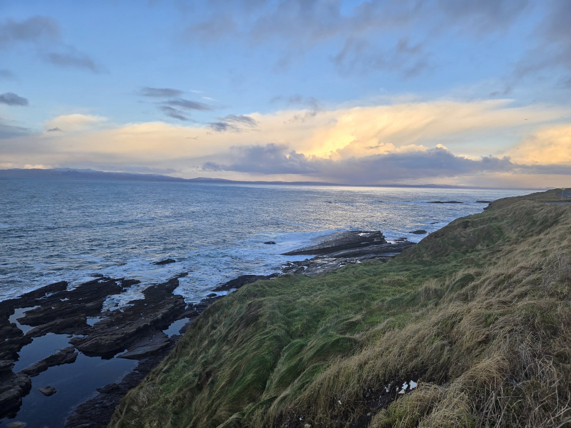
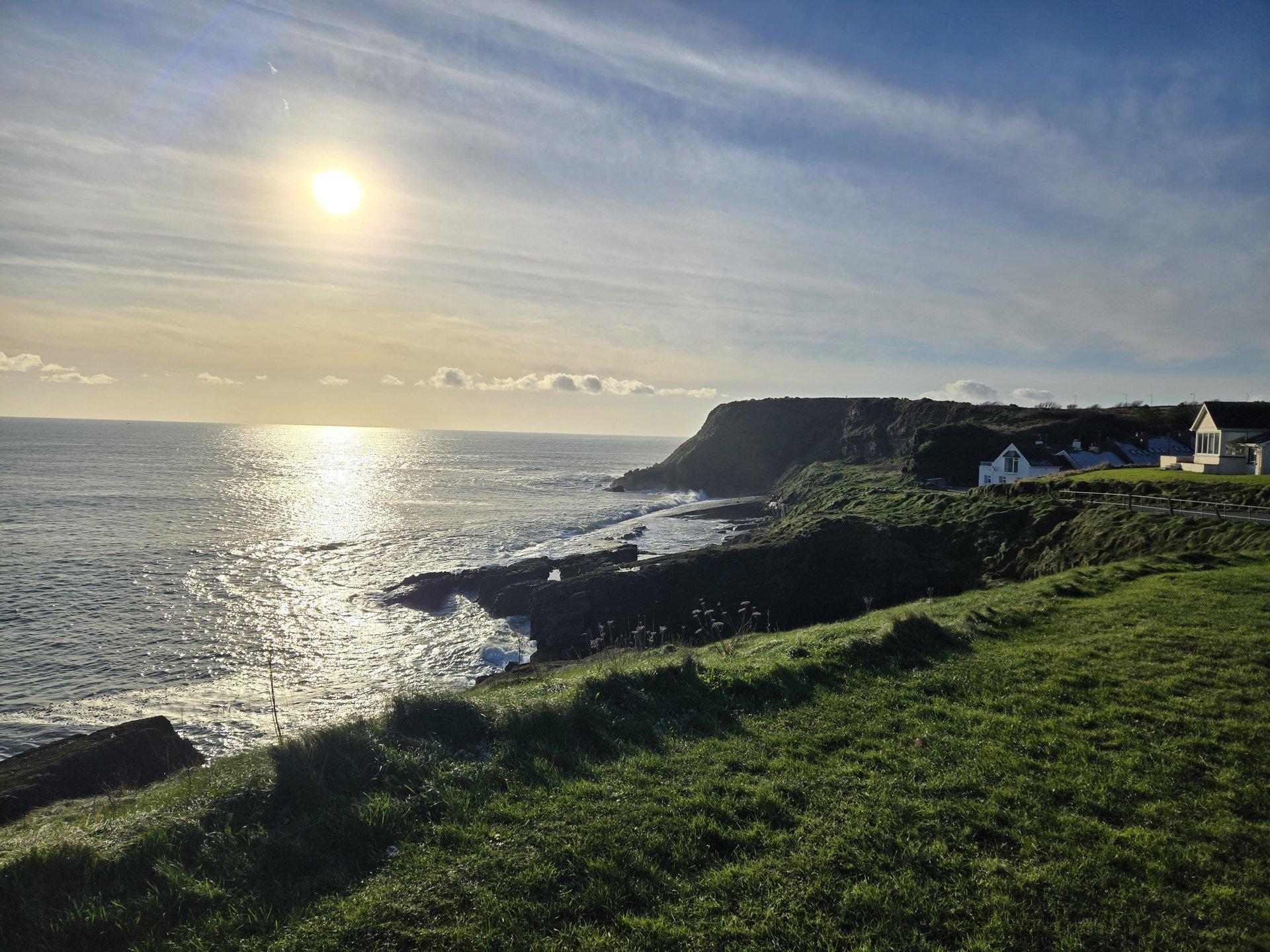
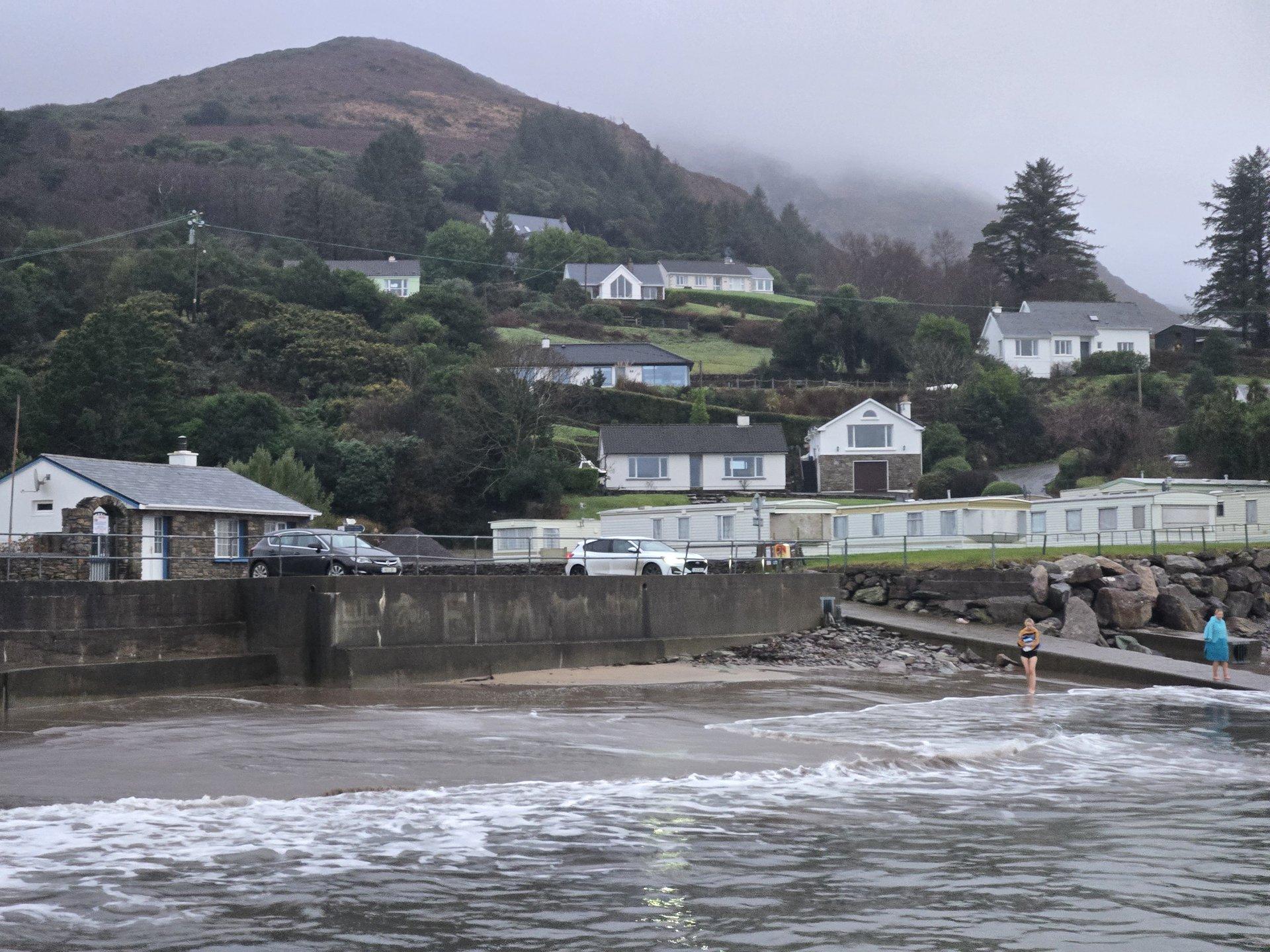
Waterford Coast: Tramore & Annestown (98 km)
Thursday, January 9, 2025
A day along the Waterford coastline, driving from Portlaw through Kilmeadan to the seaside towns of Tramore and Annestown. The Copper Coast road between these two towns follows the cliffs above the Celtic Sea.
Show full route (17 stops)
Day Statistics 98km • 290 photos
🗺️ Route Map
📸 Photos
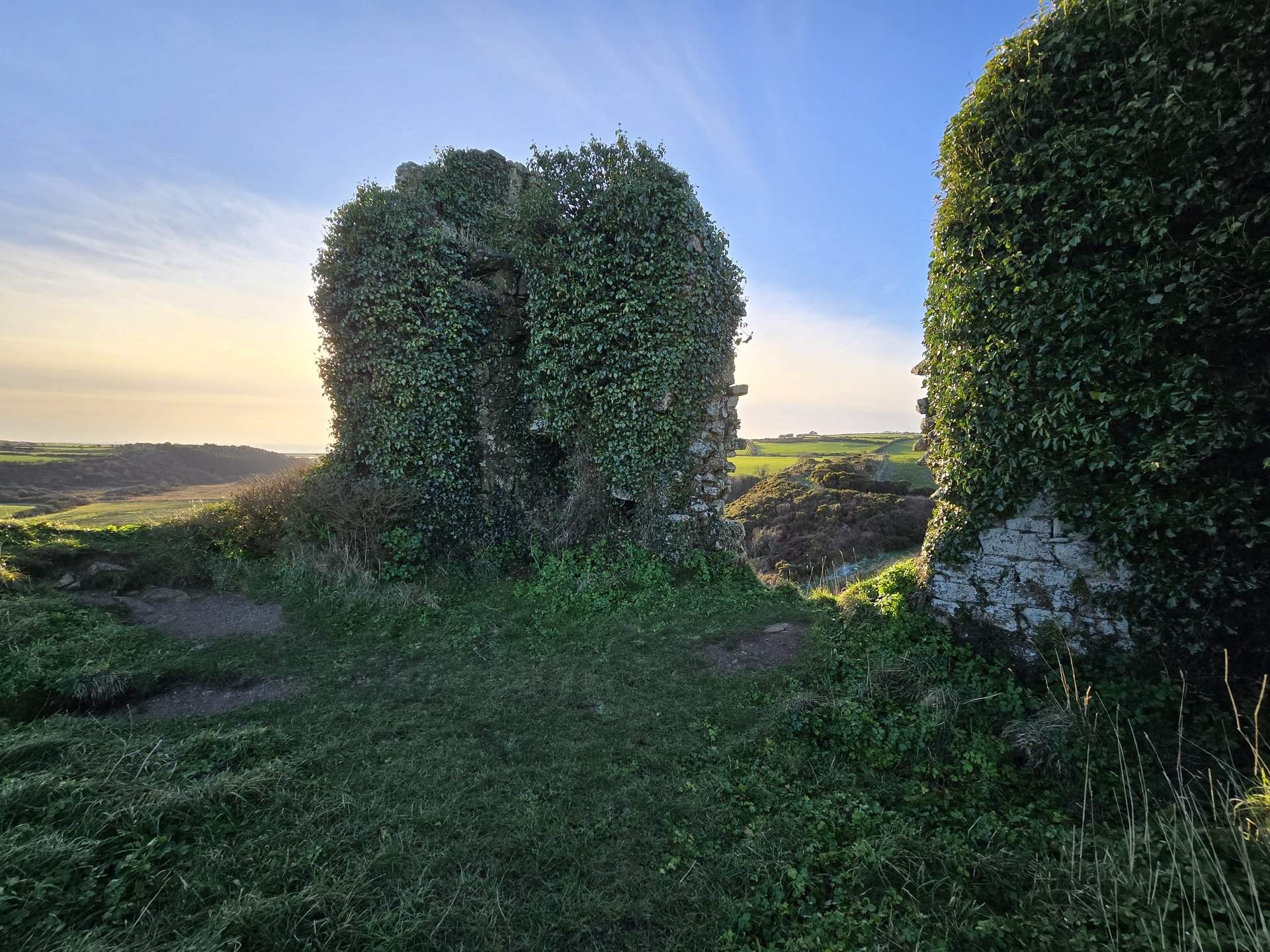
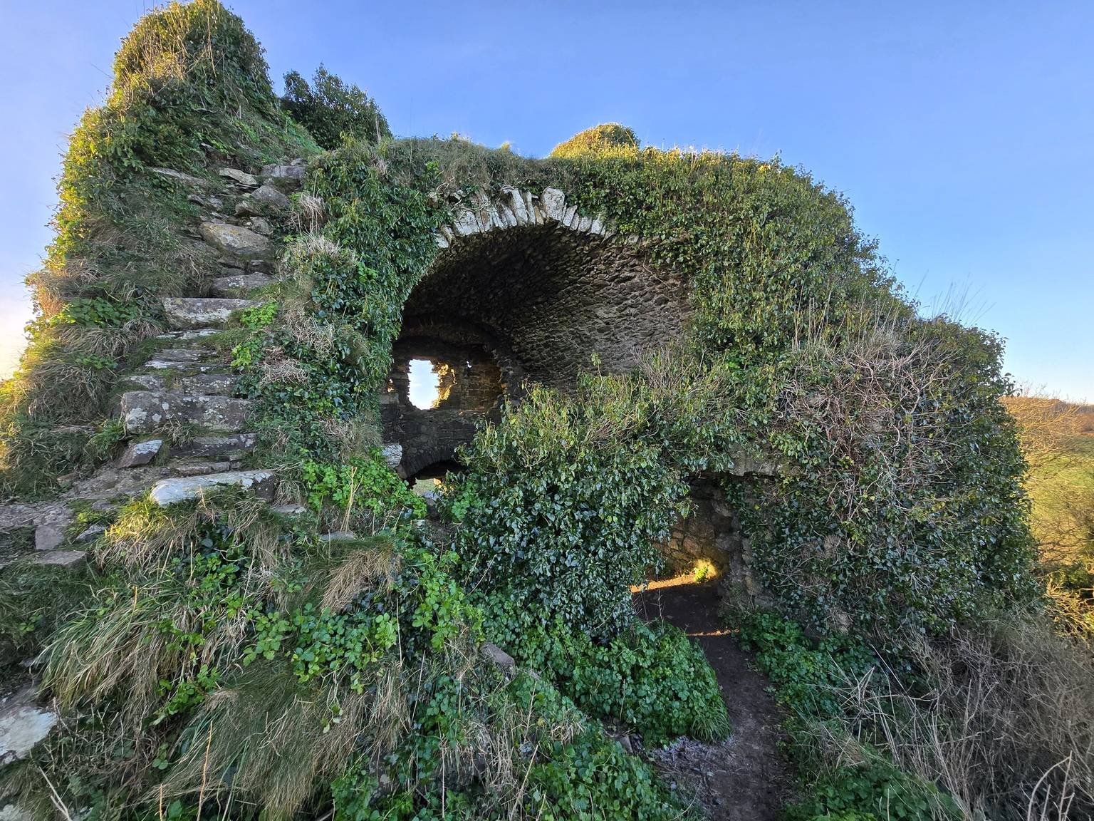
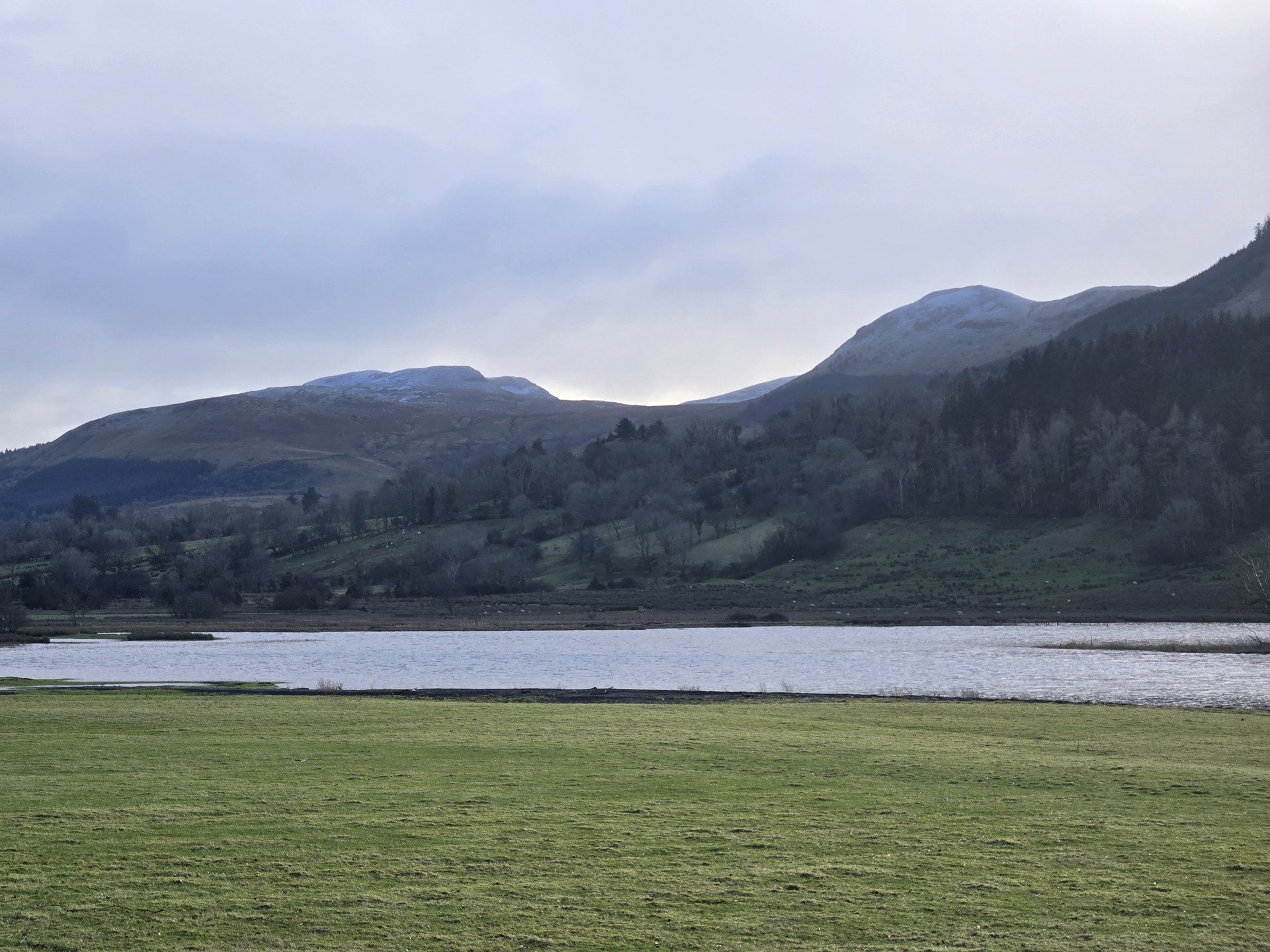
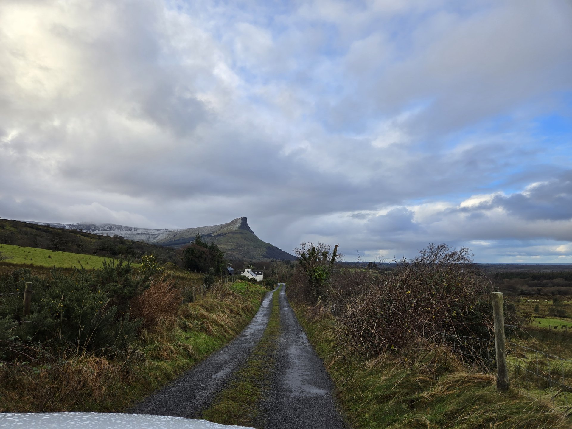
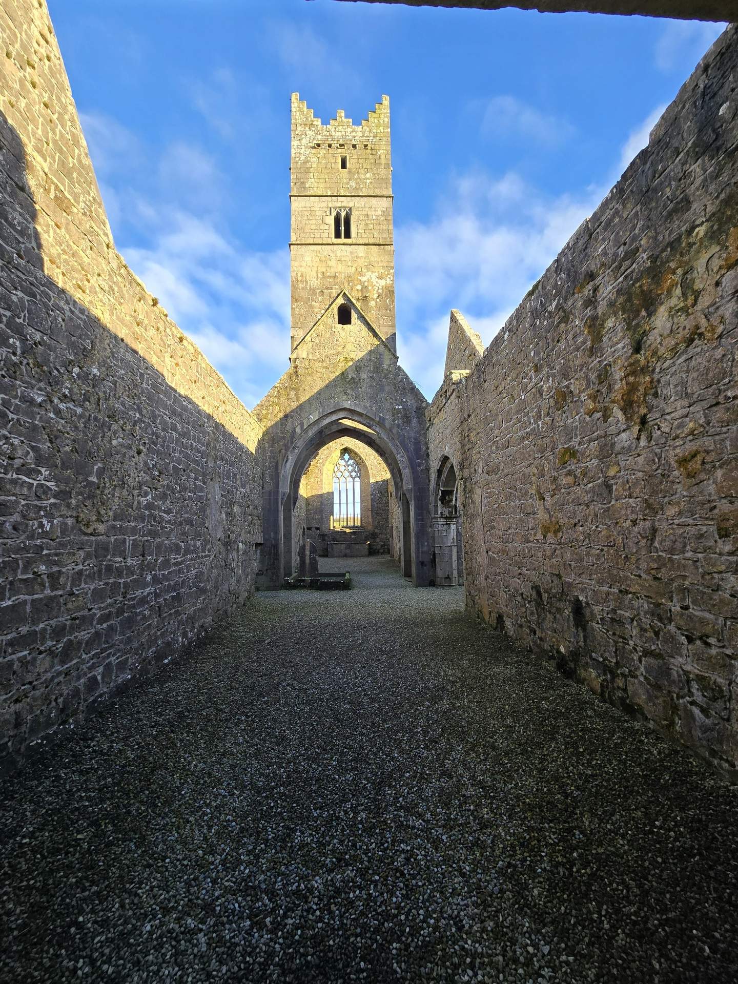
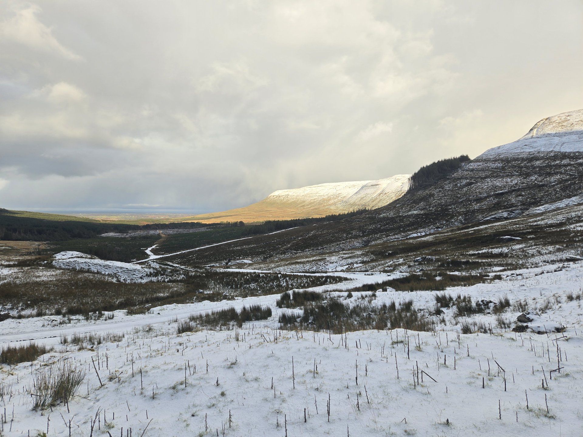
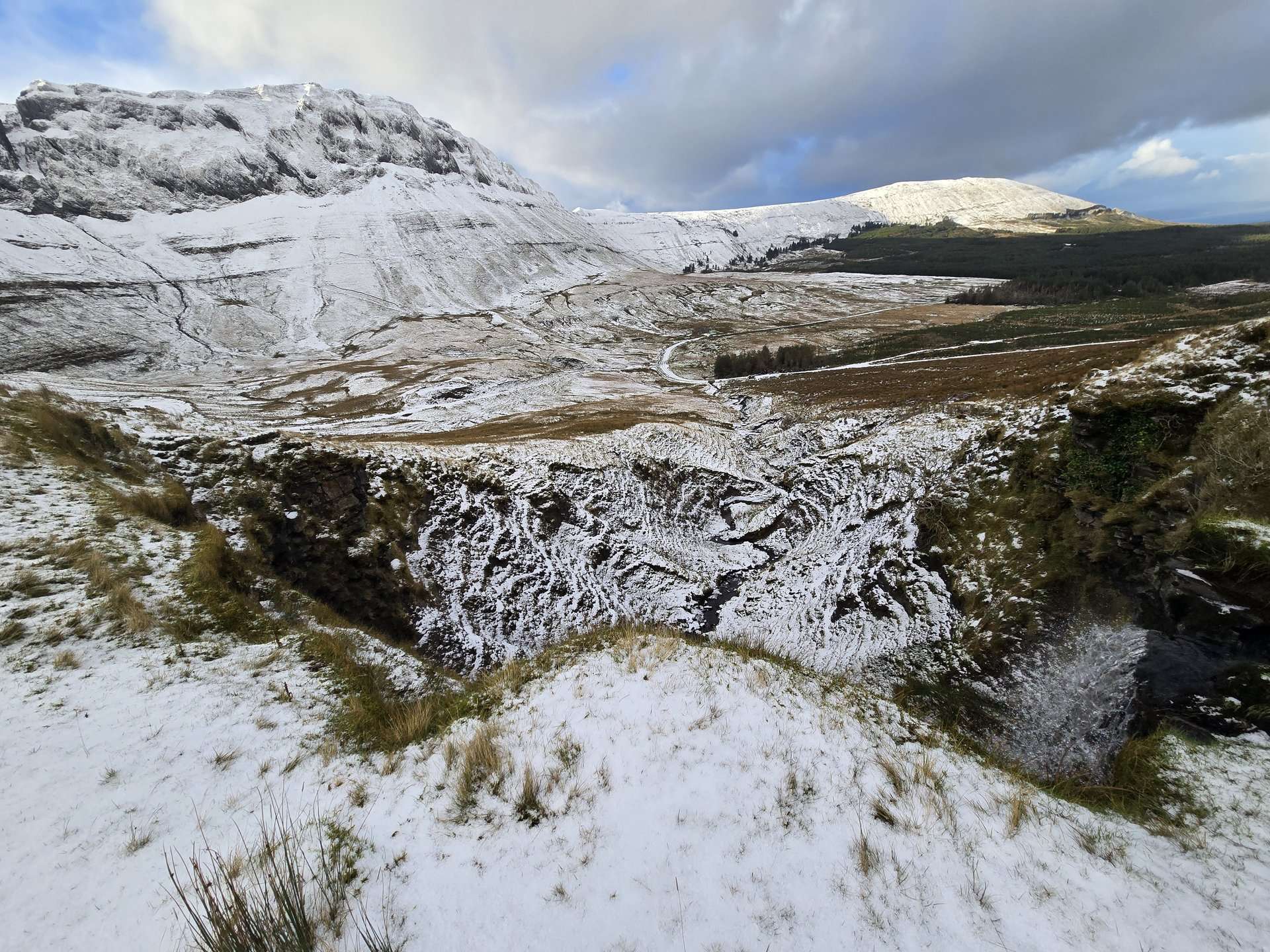
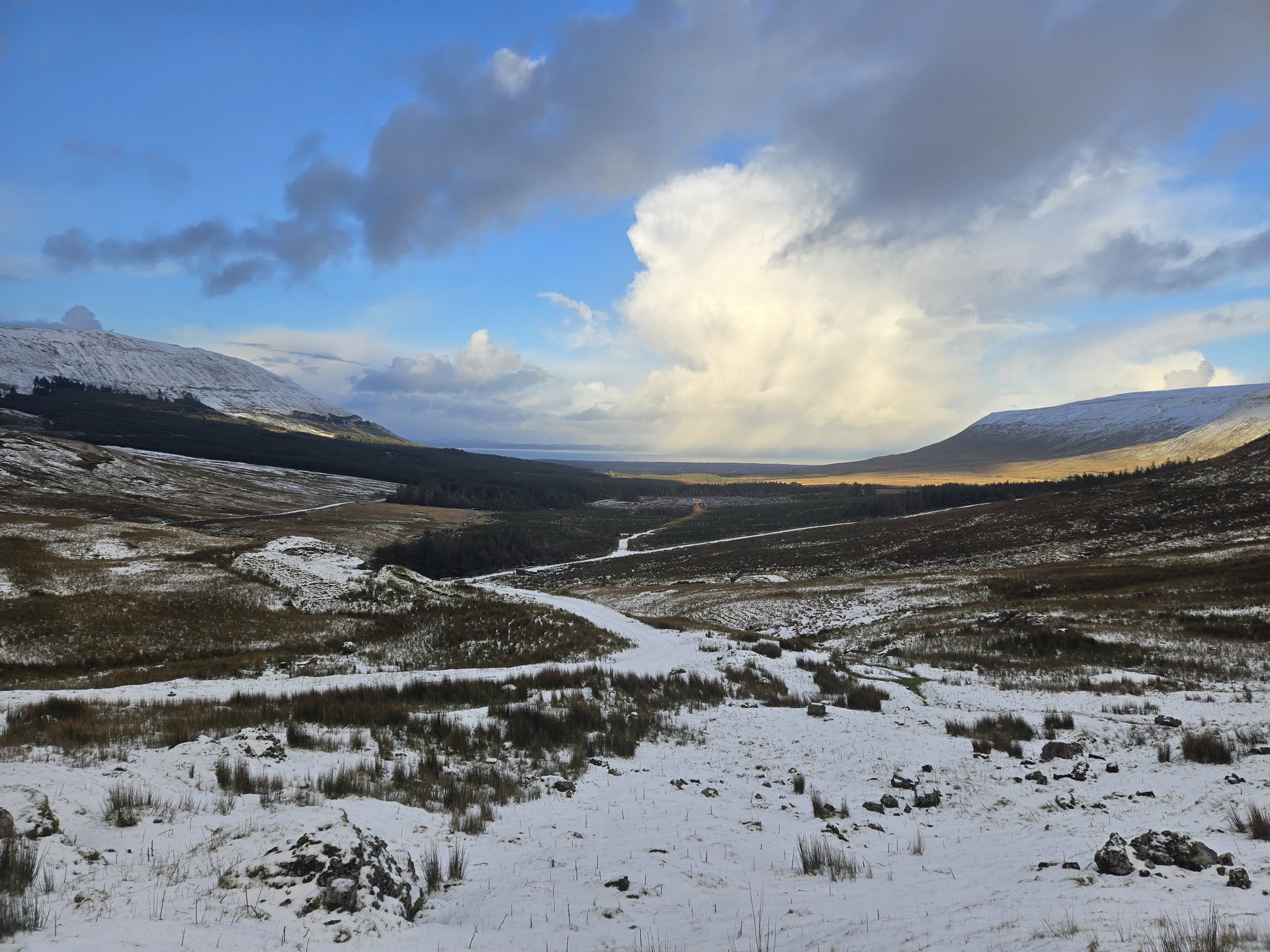
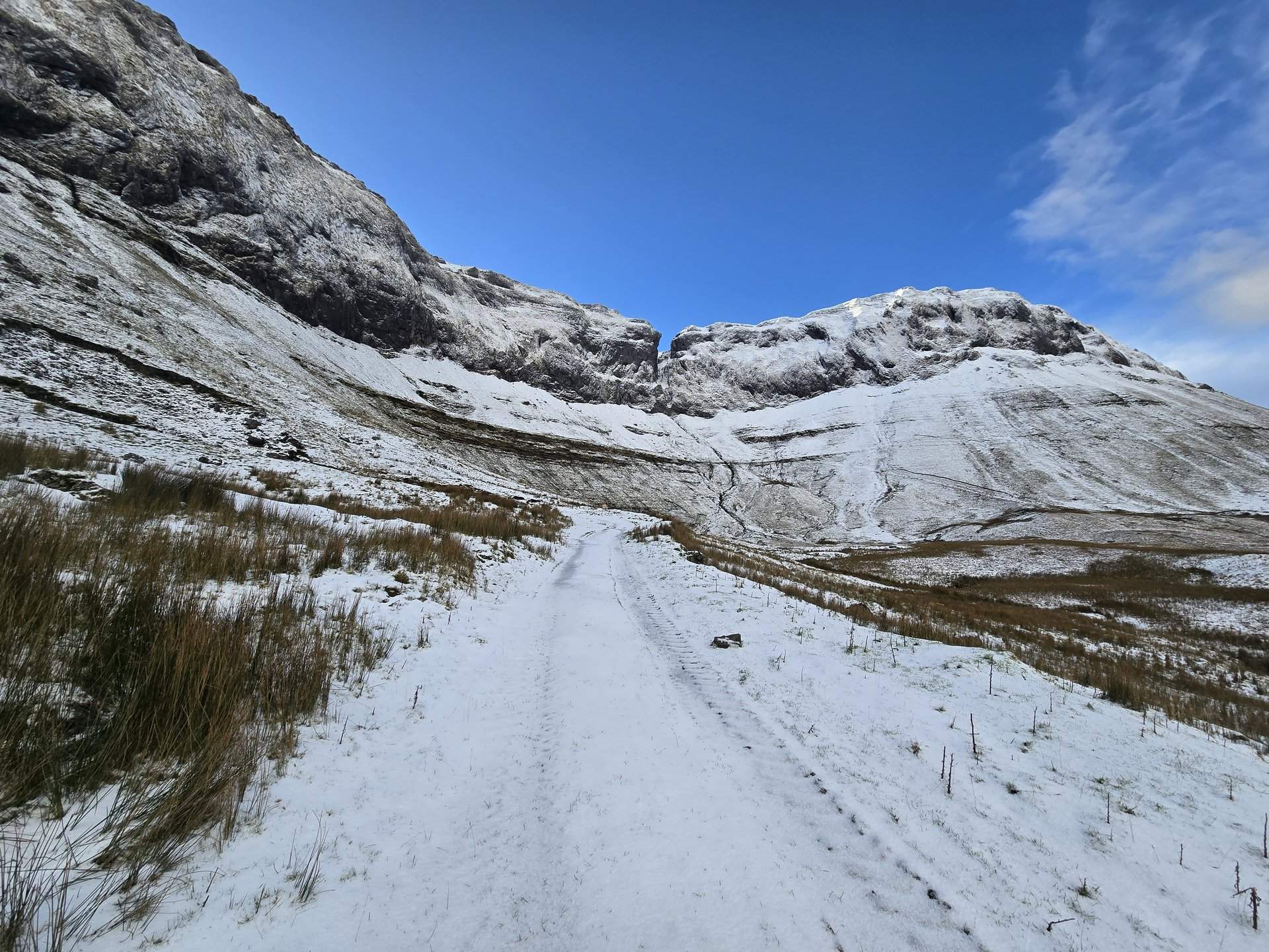
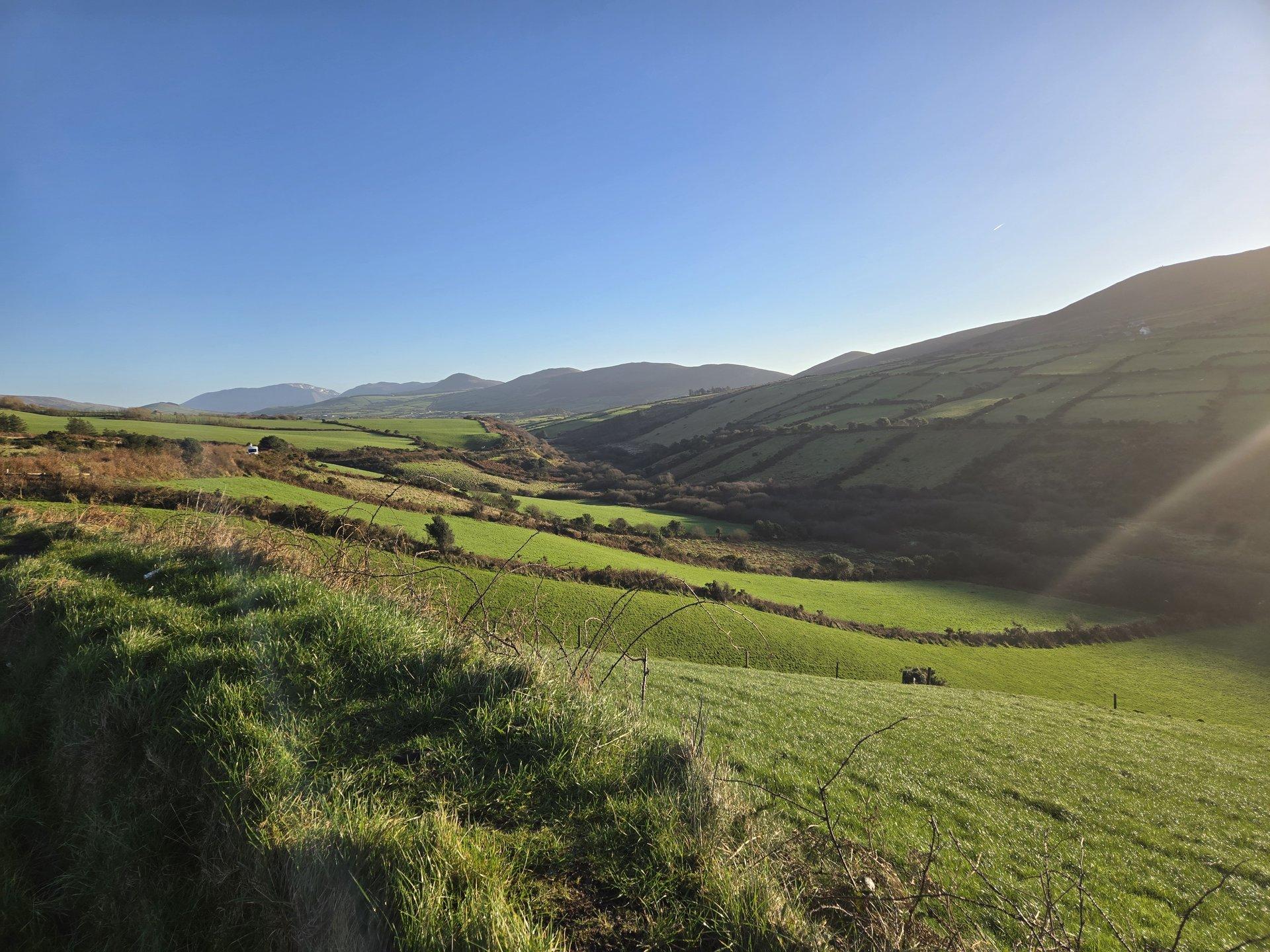
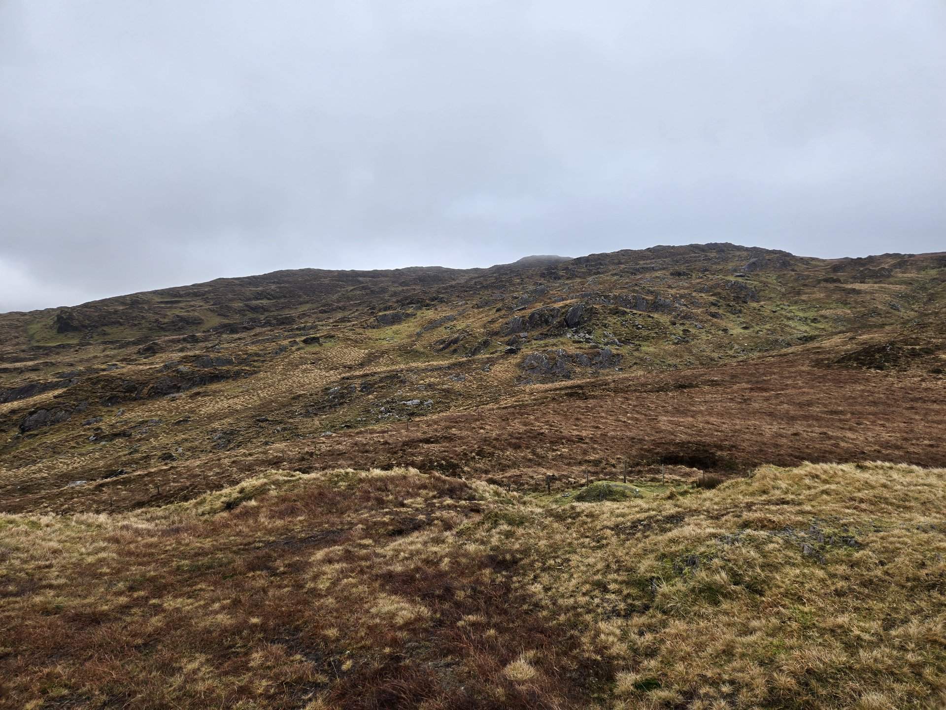
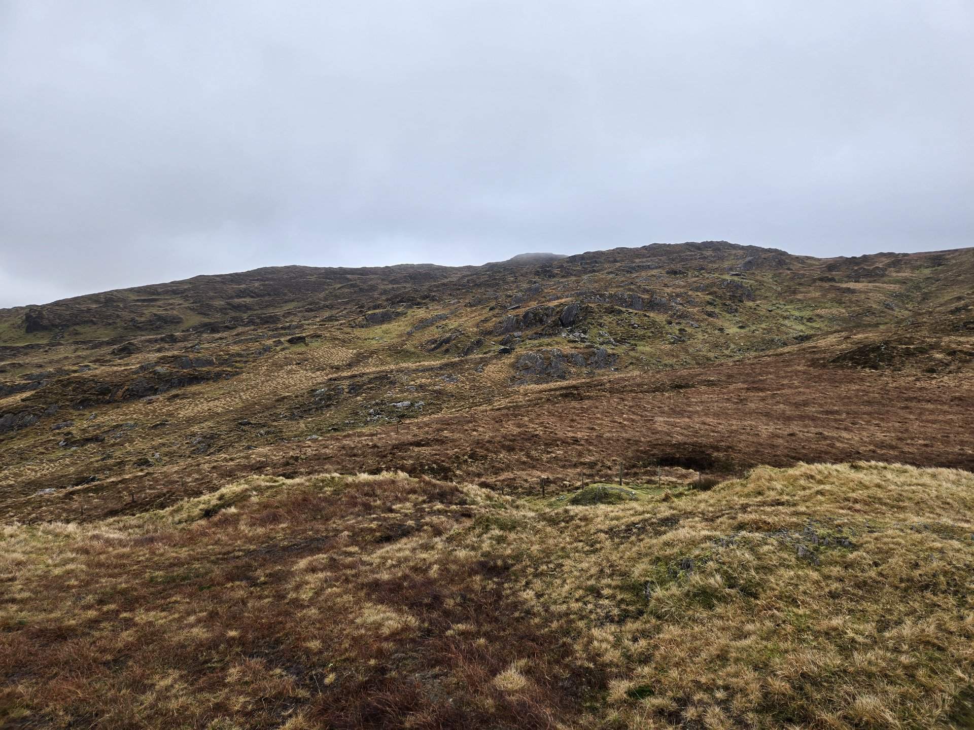
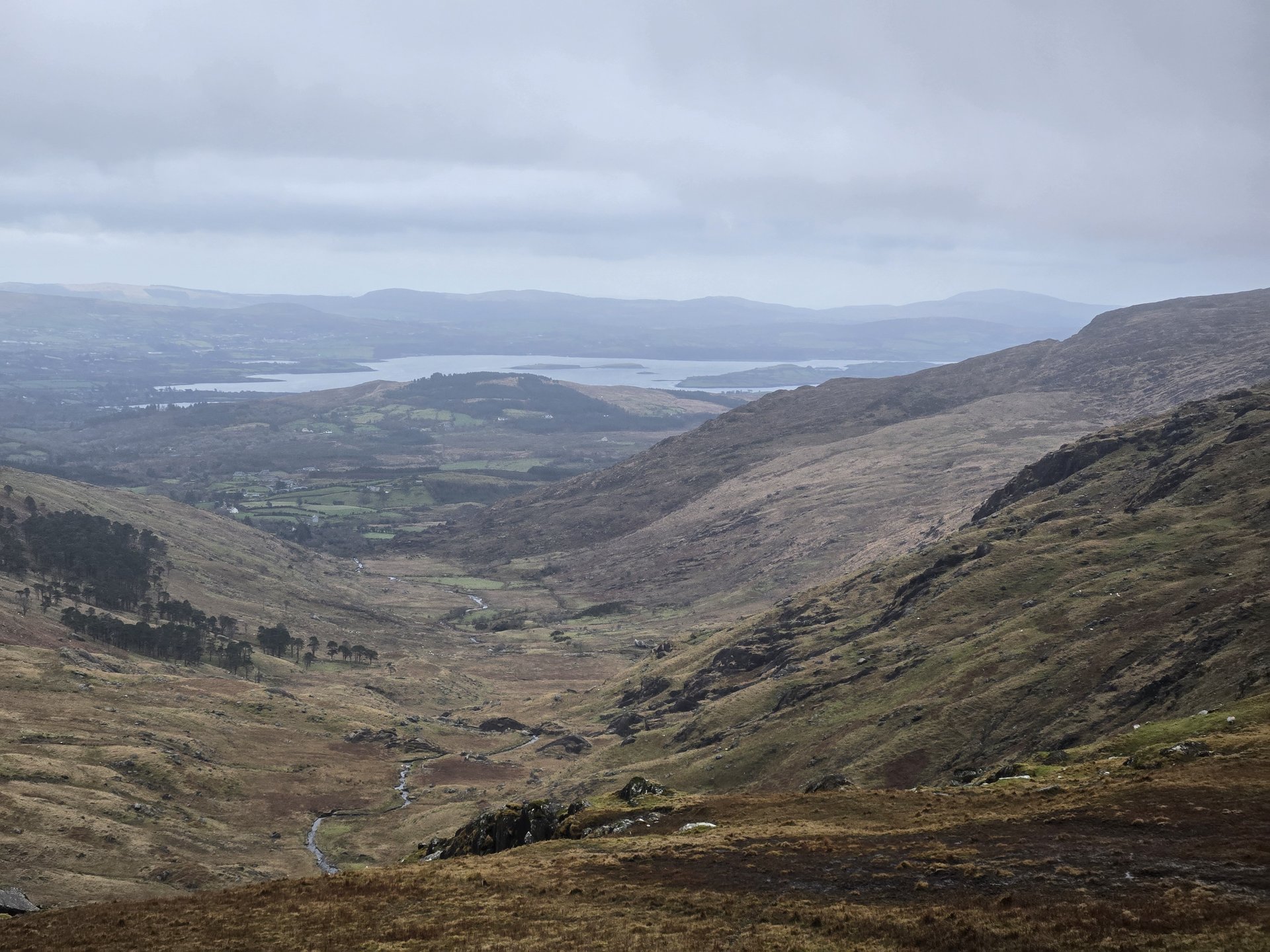
Comeragh Mountains & Waterford City (102 km)
Friday, January 10, 2025
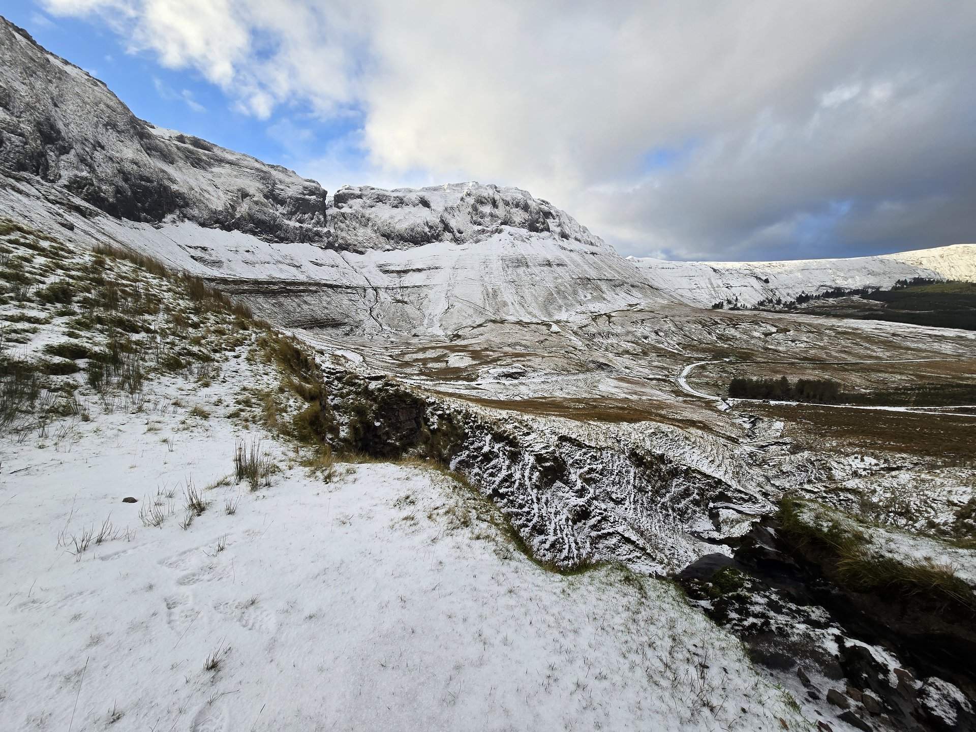
A loop inland from Kilmeadan through Kilmacthomas toward the Comeragh Mountains, then back through Waterford city. The Comeraghs rise to over 790 metres and the route passed through Tinnasaggart and Fox's Castle on the mountain approaches.
Show full route (19 stops)
Day Statistics 102km • 290 photos
🗺️ Route Map
📸 Photos
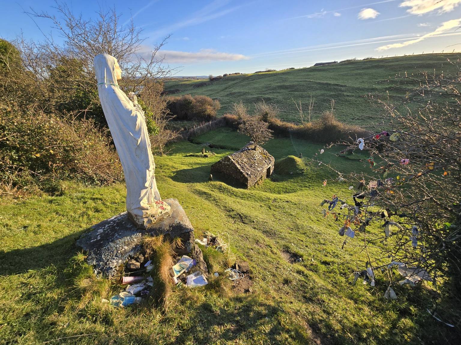
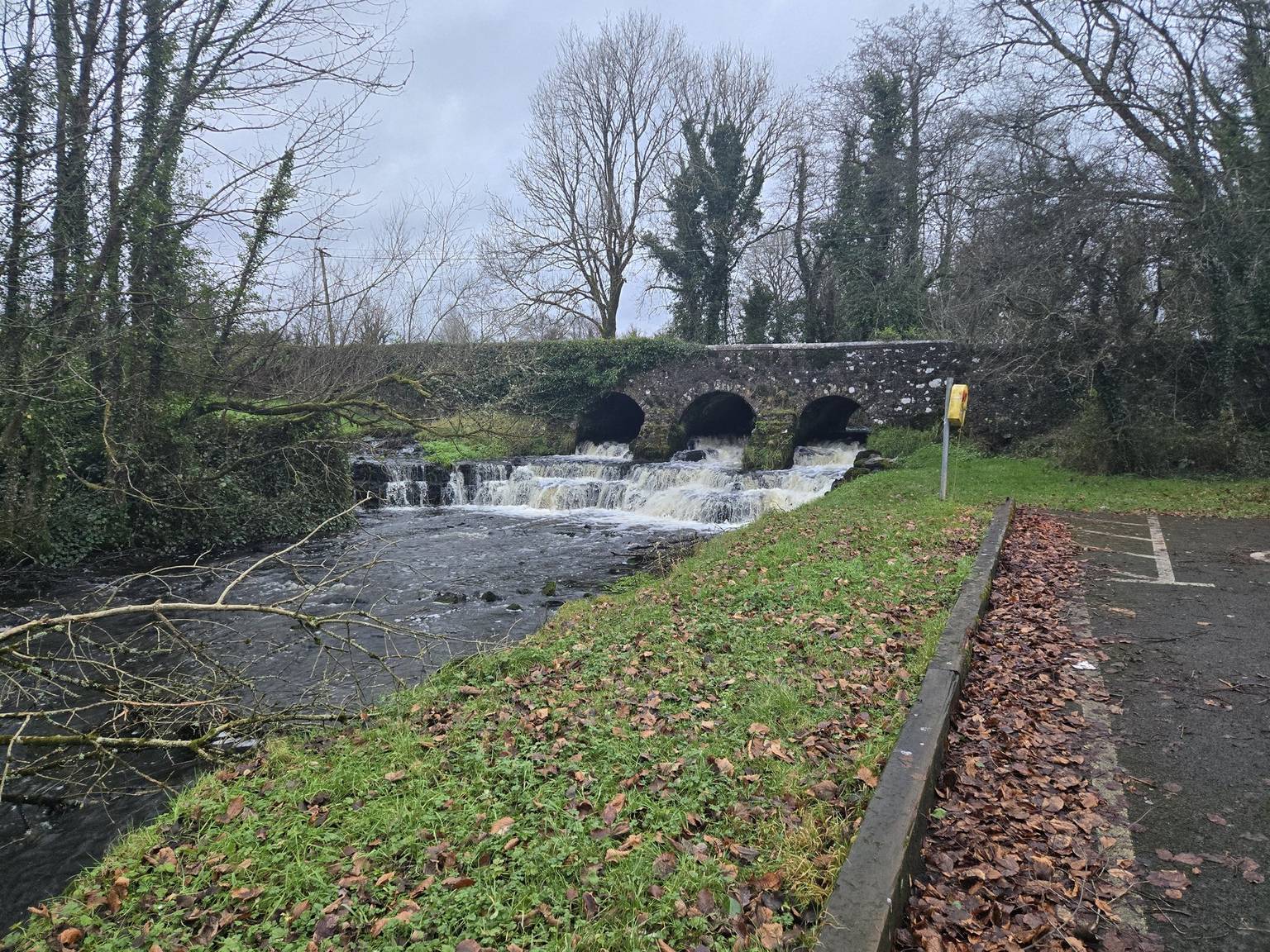
Portlaw & Nire Valley (70 km)
Saturday, January 11, 2025
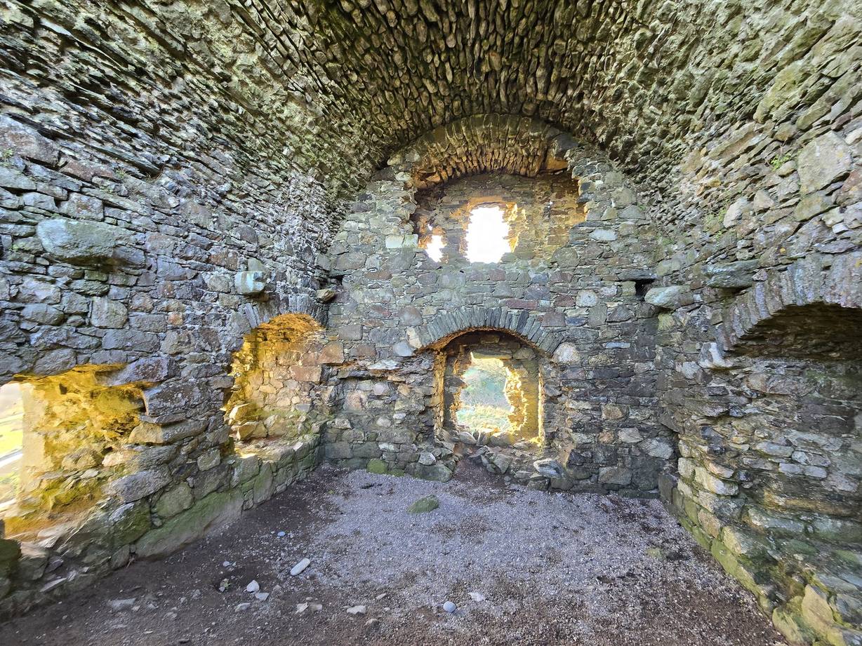
A short 70 km drive from Portlaw south into the Nire Valley on the western flanks of the Comeraghs, passing the Clonagam Round Tower and through Mothel, Ballydurn, and Fews before returning via Kilmacthomas.
Show full route (13 stops)
Day Statistics 70km • 290 photos
🗺️ Route Map
📸 Photos
Waterford to Kerry: Kilmeadan to Caher (330 km)
Monday, January 13, 2025
A 330 km transit from Waterford to the Kerry coast, driving west through Cork city, Macroom, and over the county boundary into Kerry via Killarney and Killorglin. The day ended at Caher on the Skellig coast, setting up the final days on the Iveragh and Dingle peninsulas.
Show full route (43 stops)
Day Statistics 330km • 290 photos
🗺️ Route Map
📸 Photos
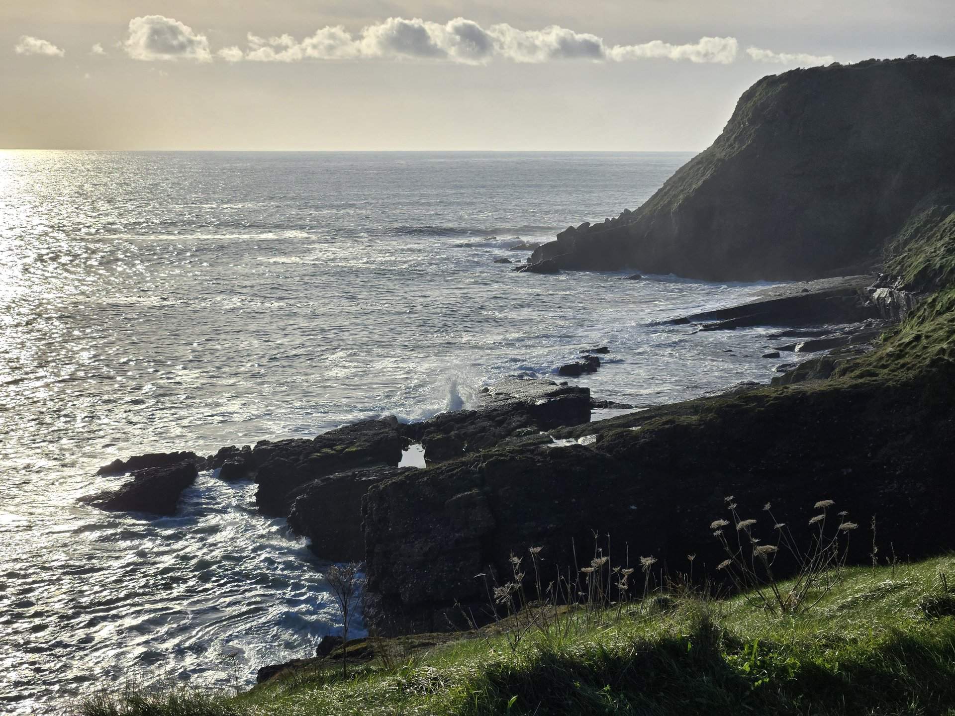
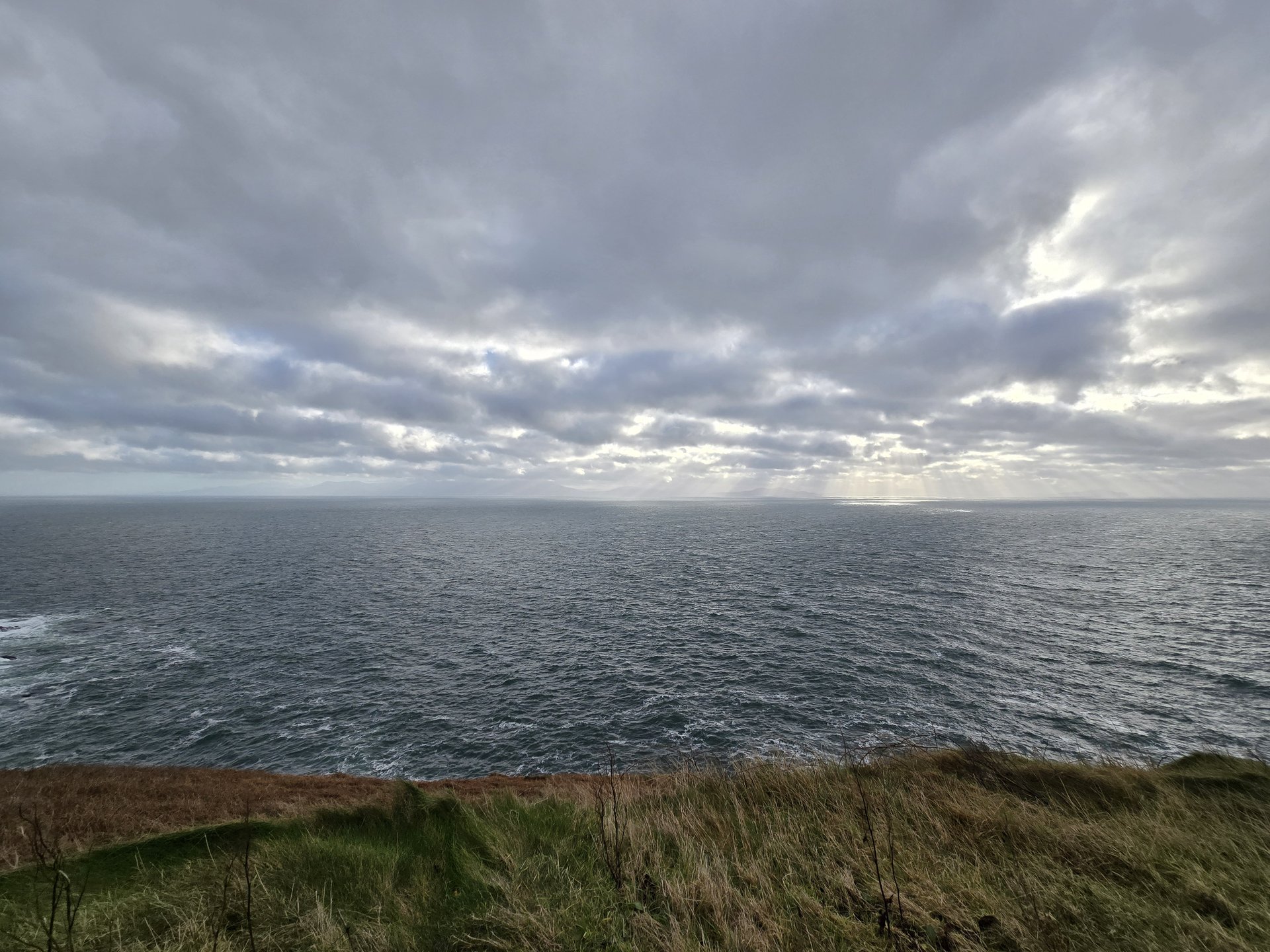
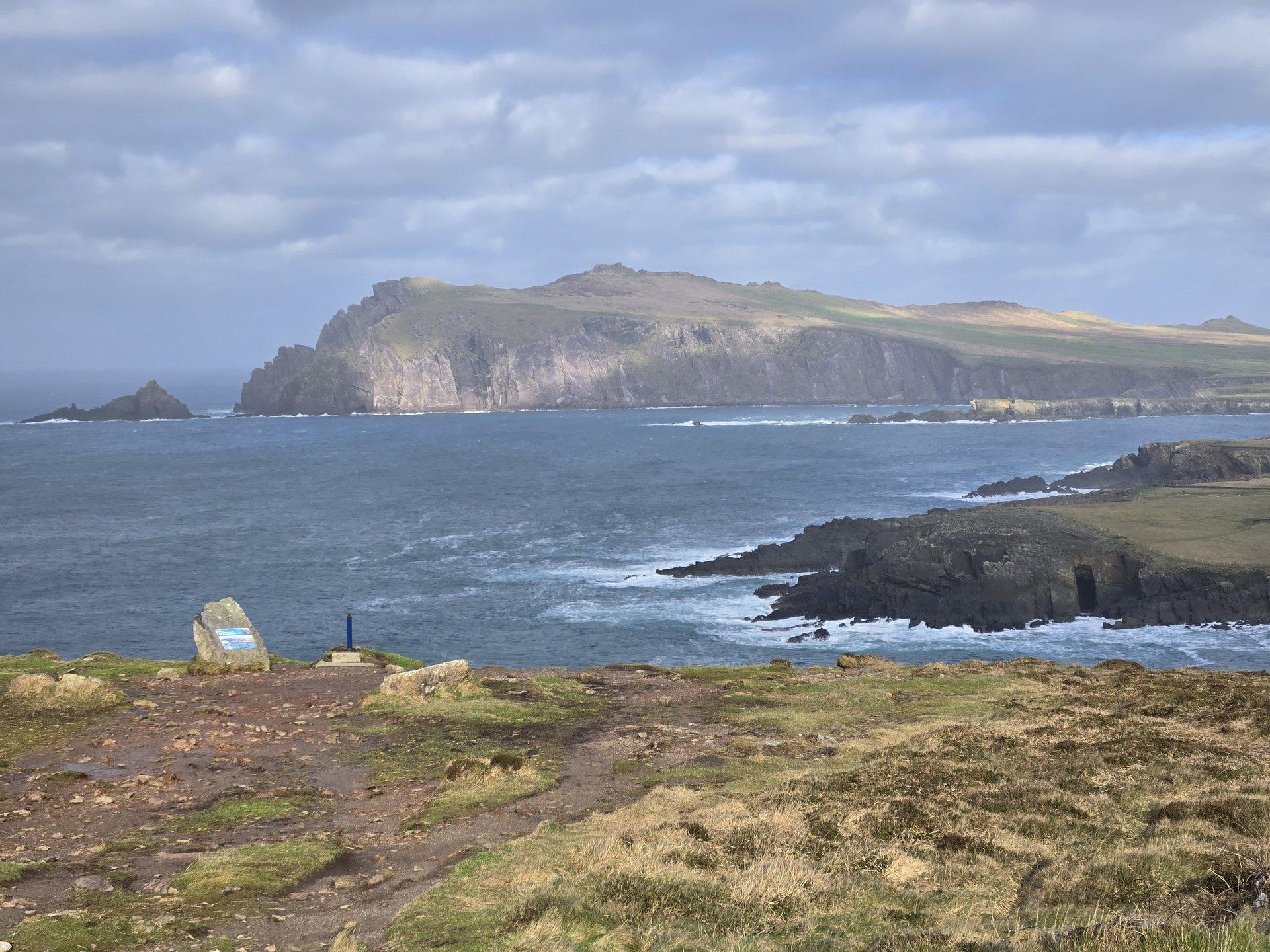
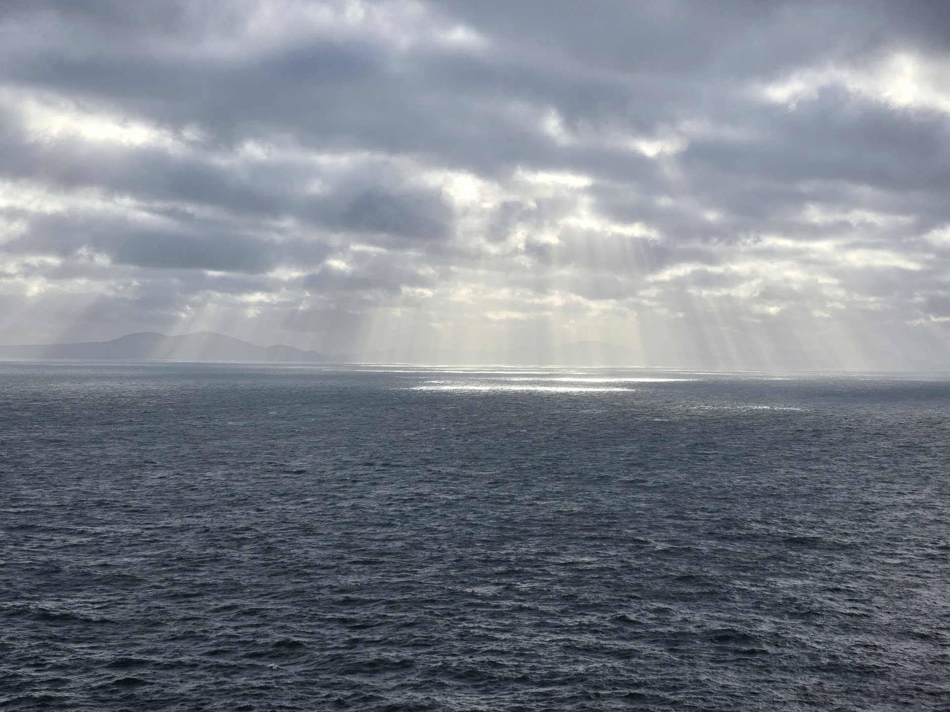
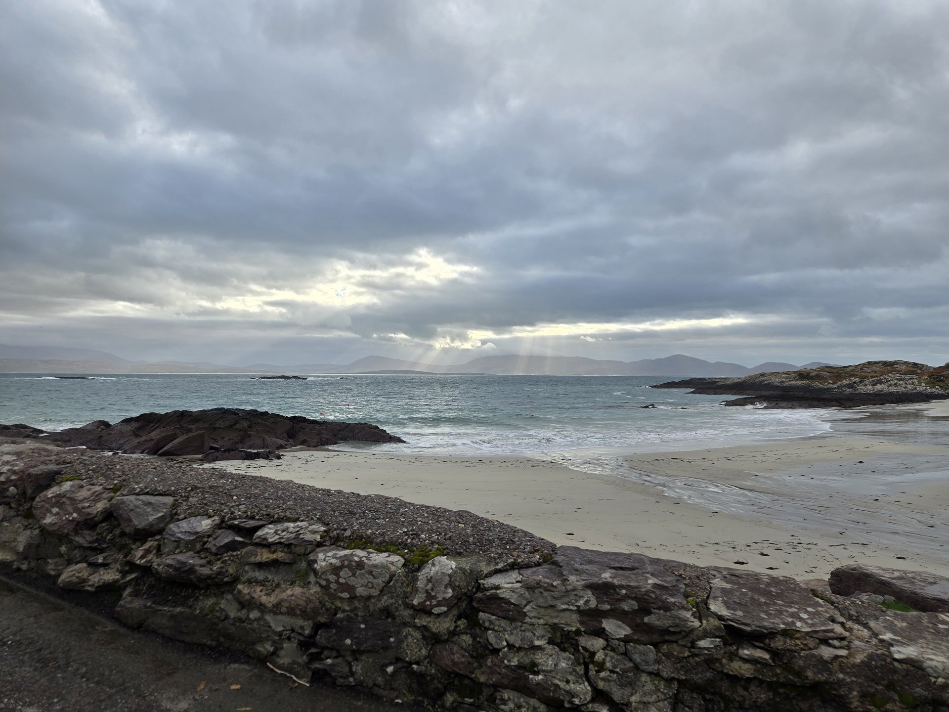
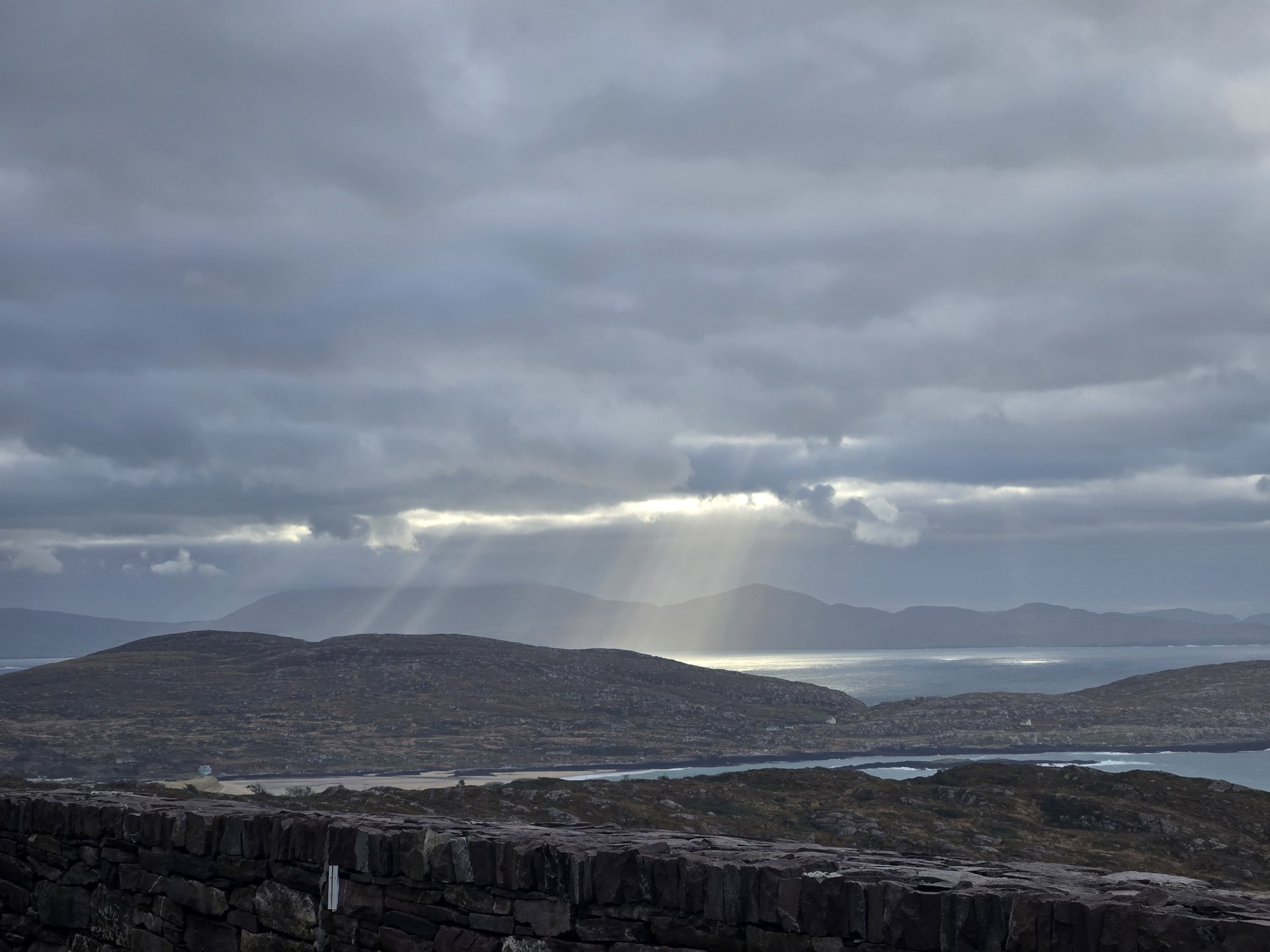
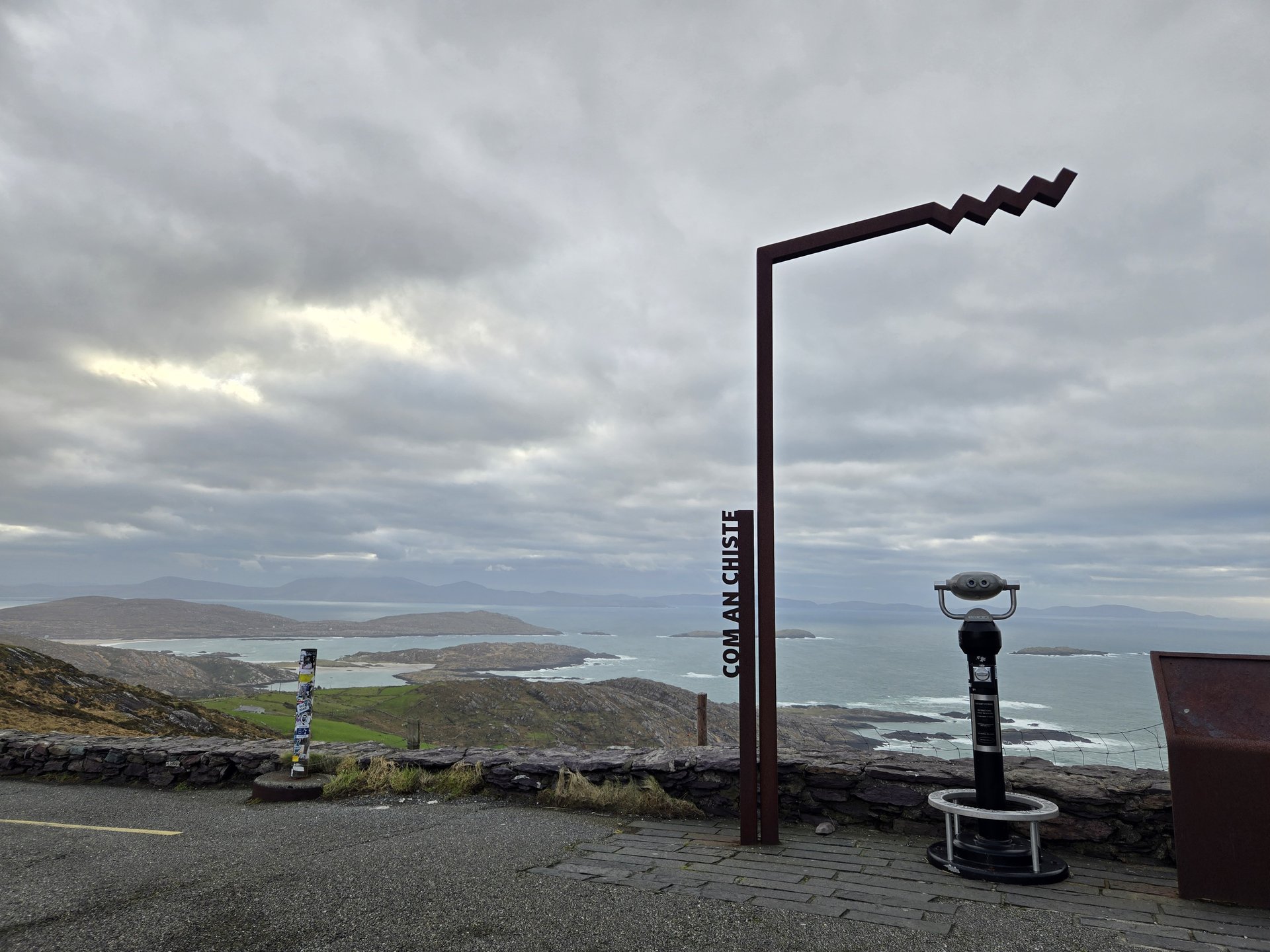
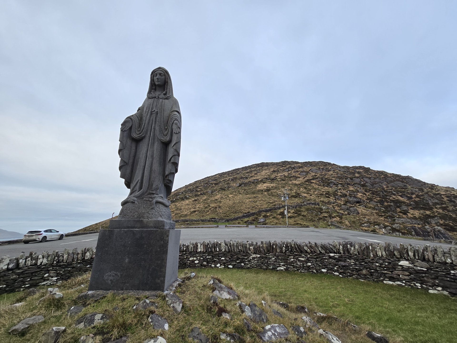
Skellig Coast: Portmagee & Valentia (108 km)
Tuesday, January 14, 2025
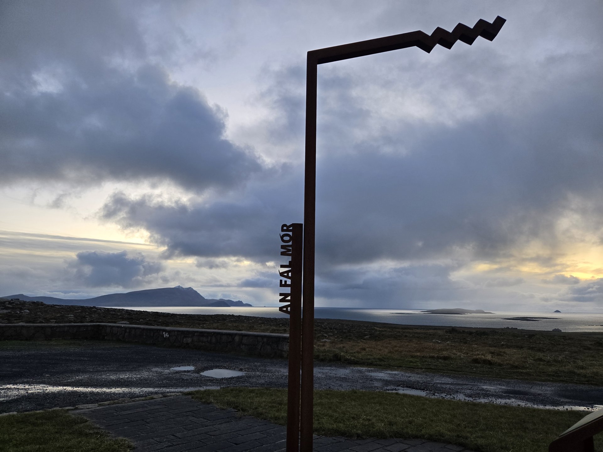
A loop along the Skellig Coast from Caher to Portmagee and across to Valentia Island, then south through Ballinskelligs and Derrynane Bay. The western tip of the Iveragh Peninsula faces directly toward the Skellig Islands offshore.
Show full route (13 stops)
Day Statistics 108km • 290 photos
🗺️ Route Map
📸 Photos
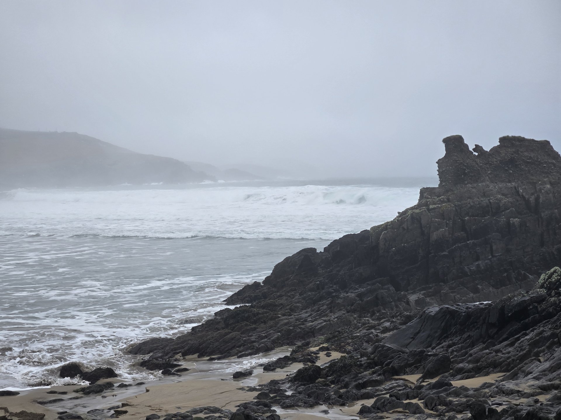
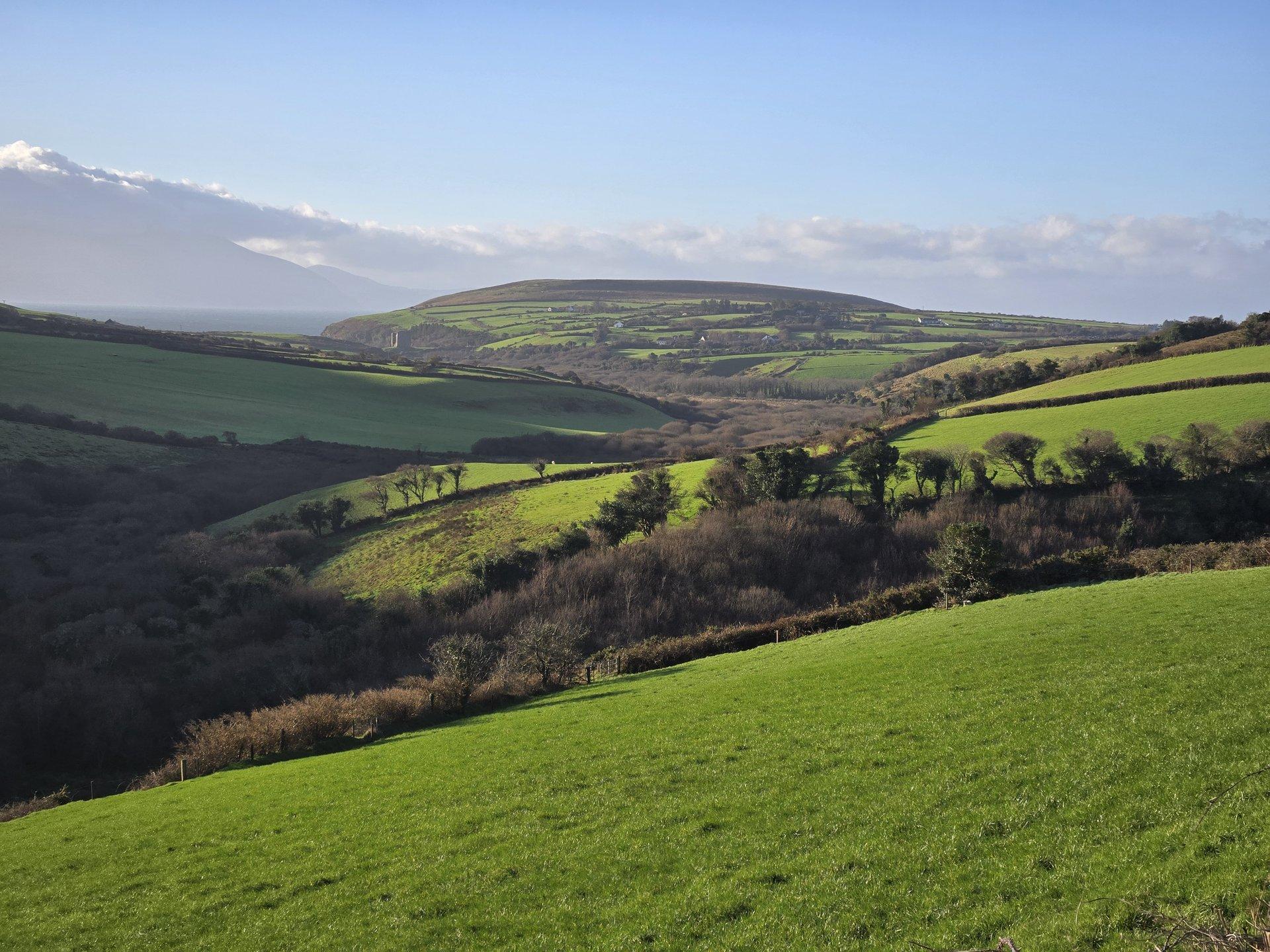
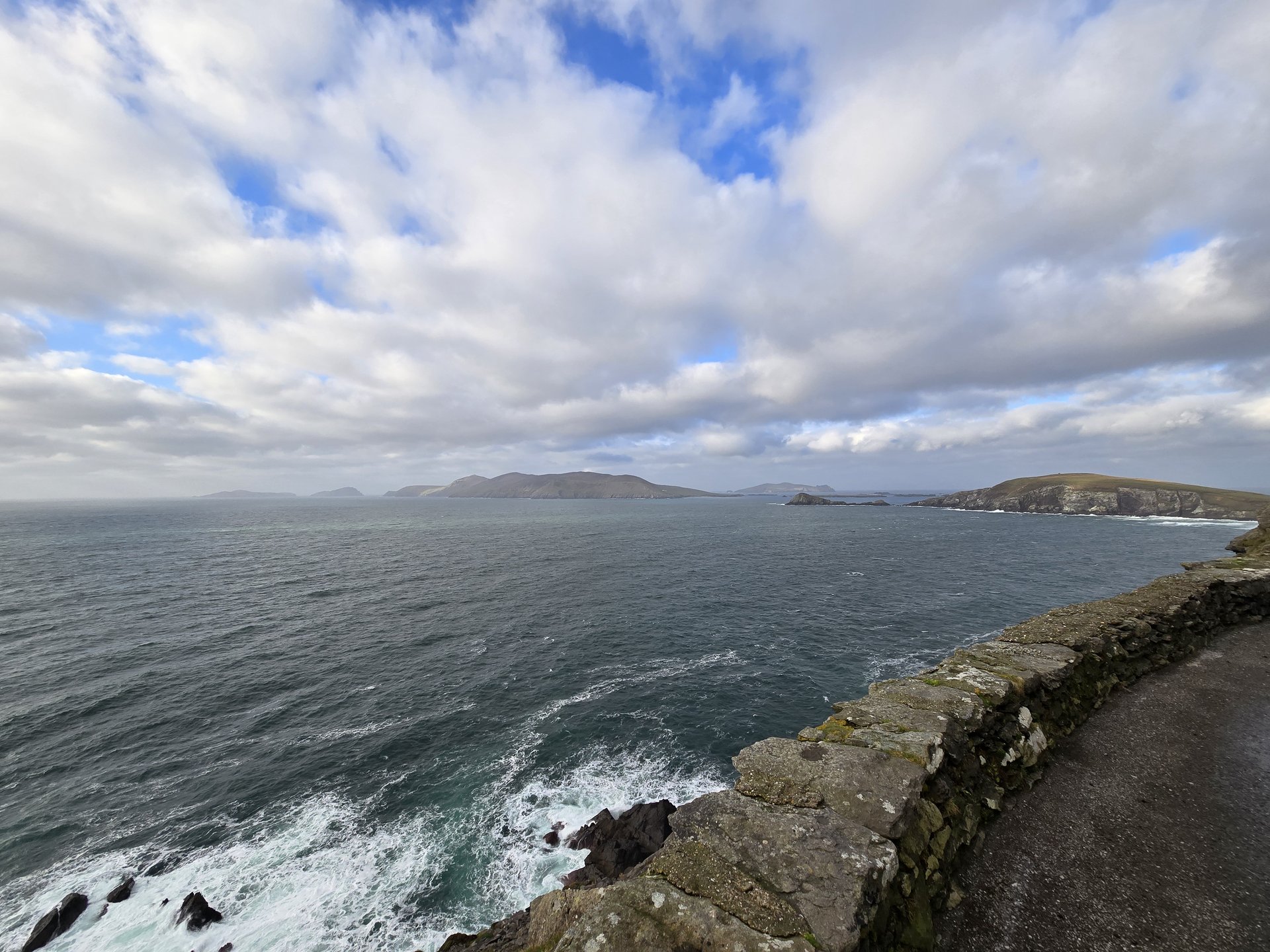
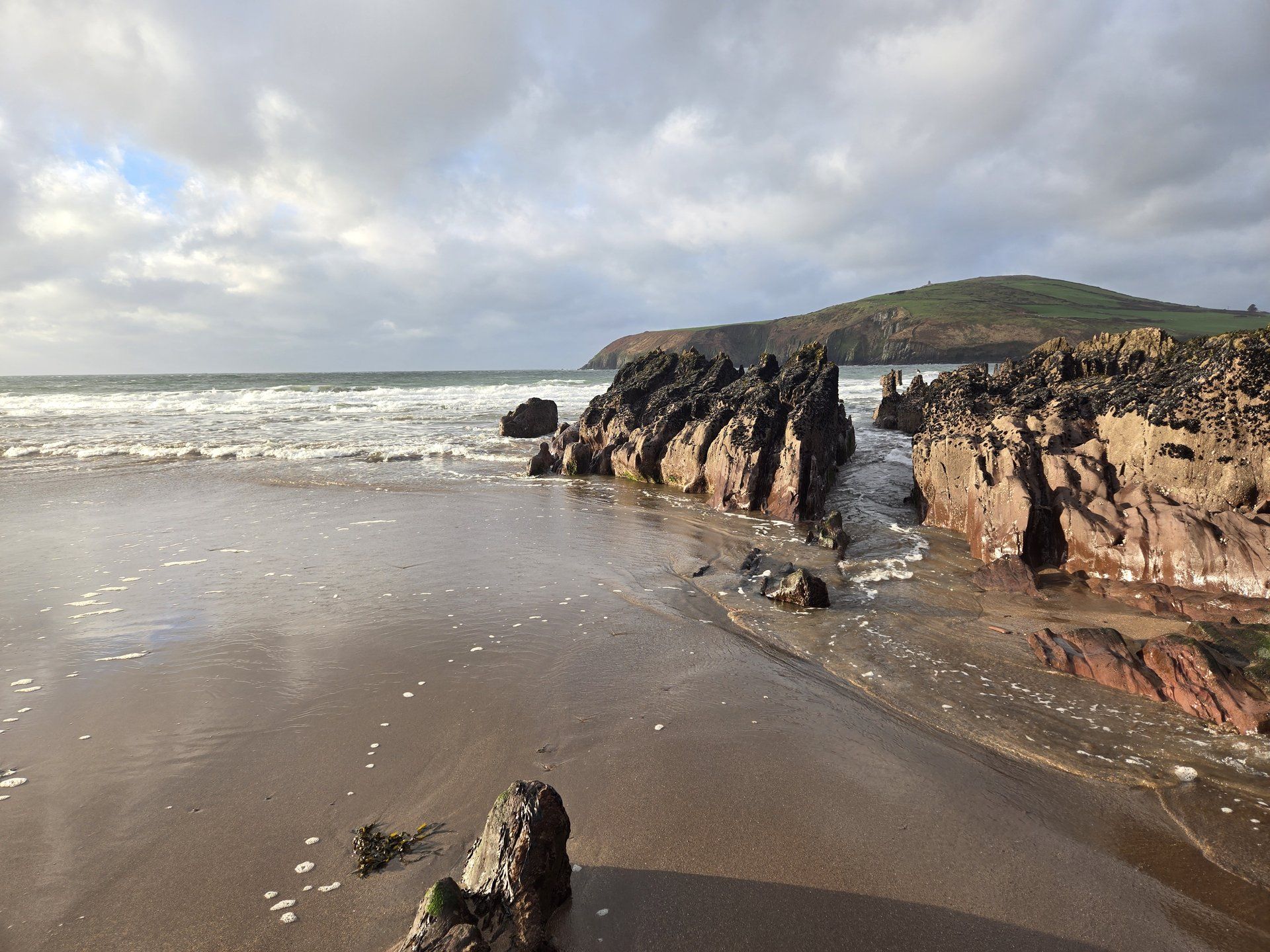
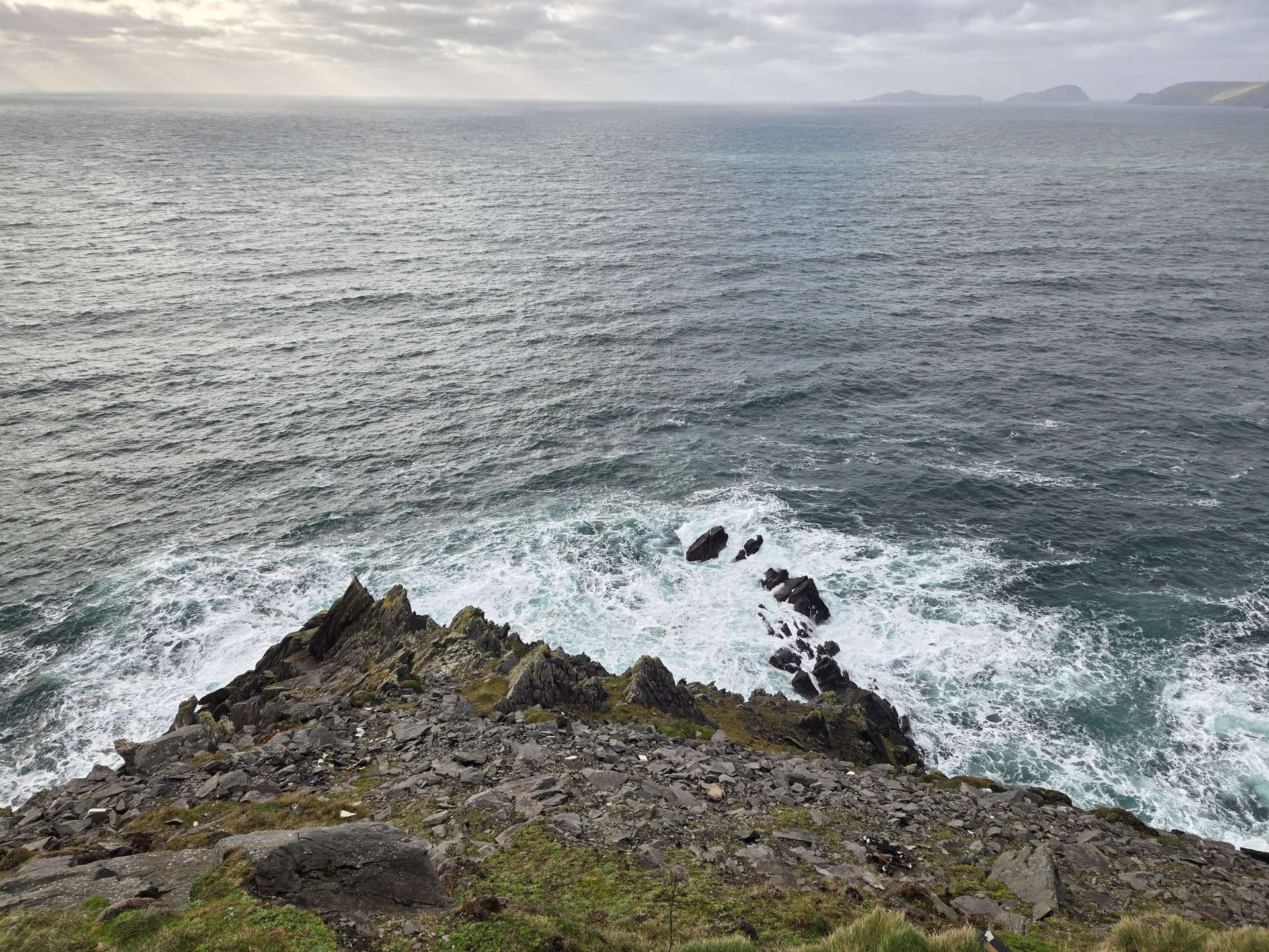
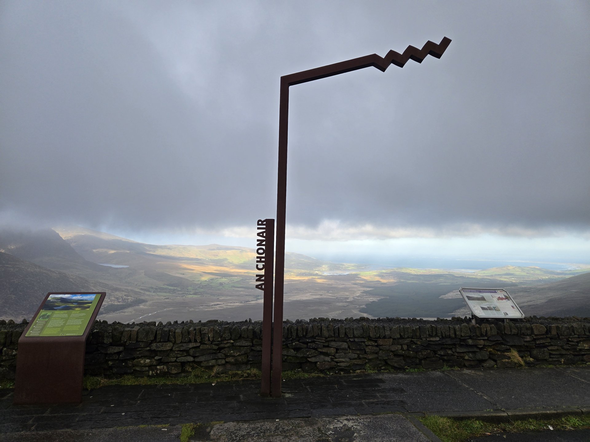
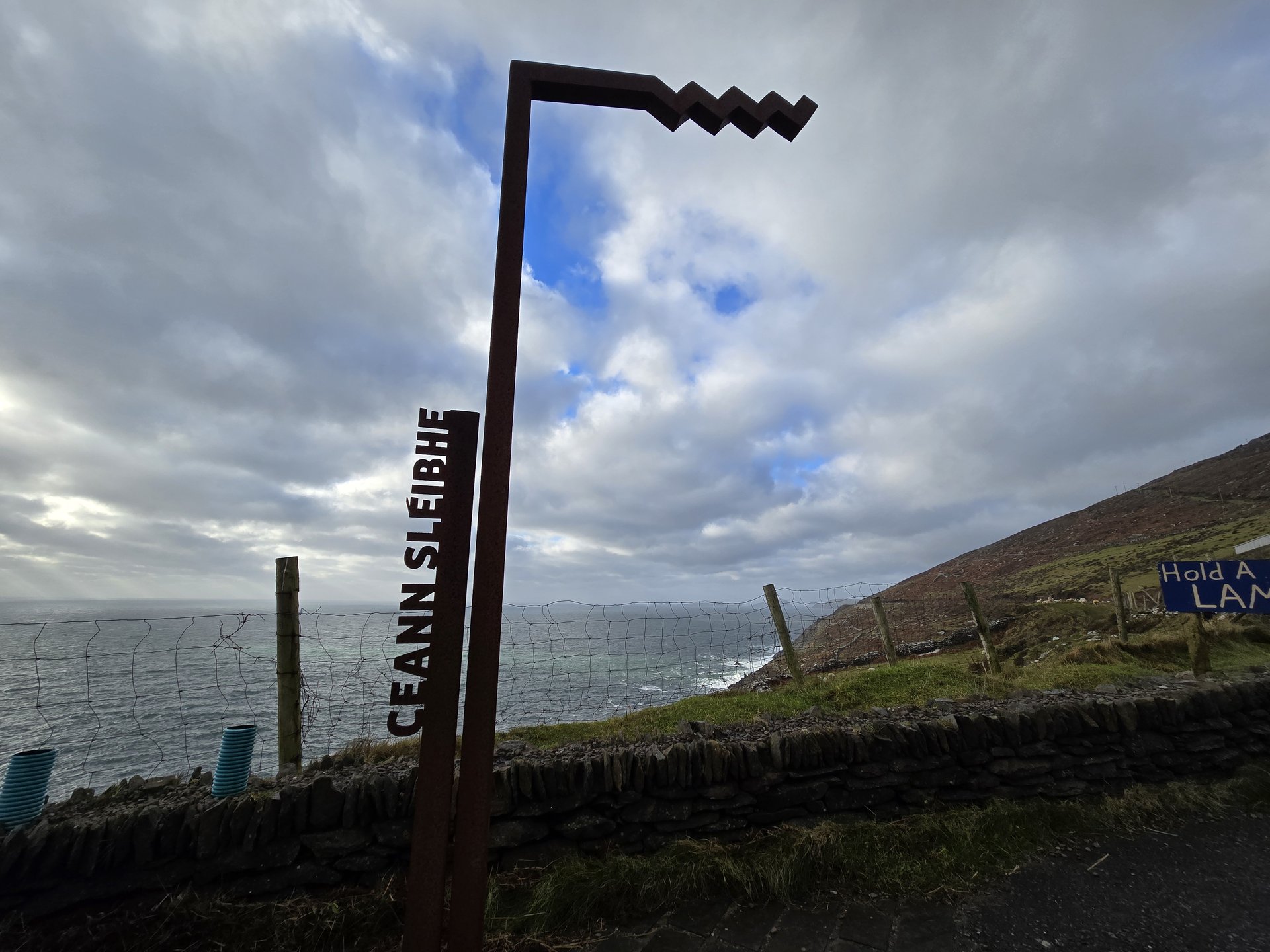
Dingle Peninsula: Inch to Slea Head (253 km)
Wednesday, January 15, 2025
A 253 km circuit of the Dingle Peninsula, driving north from Killorglin through Inch strand to the Slea Head Drive at the western tip, passing Dunquin and Clogher Head. The return ran along the north side through Castlegregory and Blennerville back toward Tralee.
Show full route (32 stops)
Day Statistics 253km • 290 photos
🗺️ Route Map
📸 Photos (16 of 39)
Refresh page to see different photos
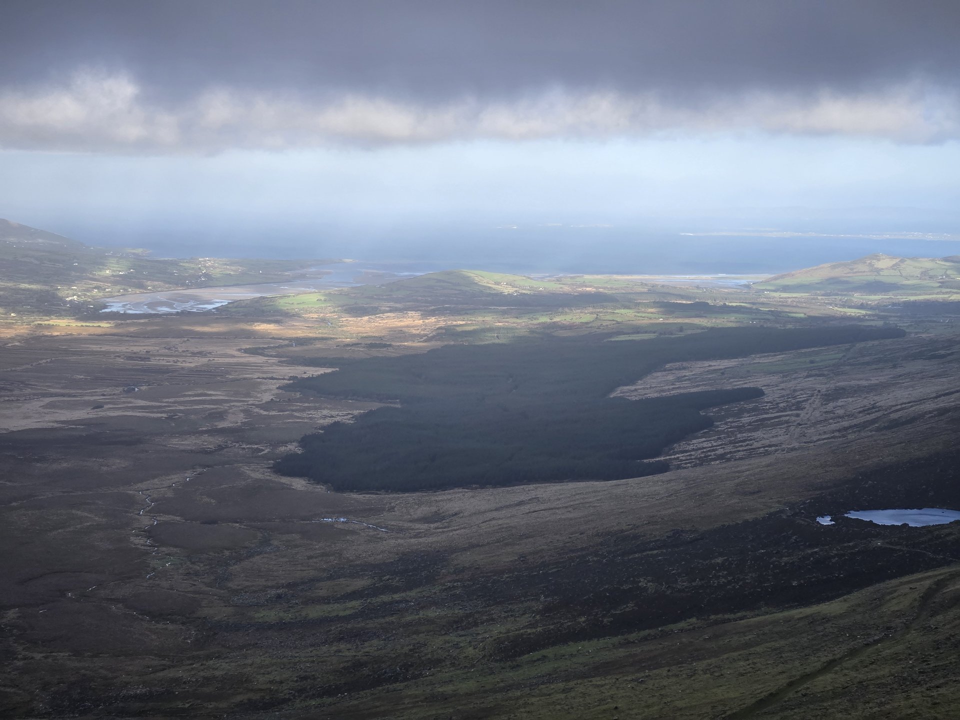
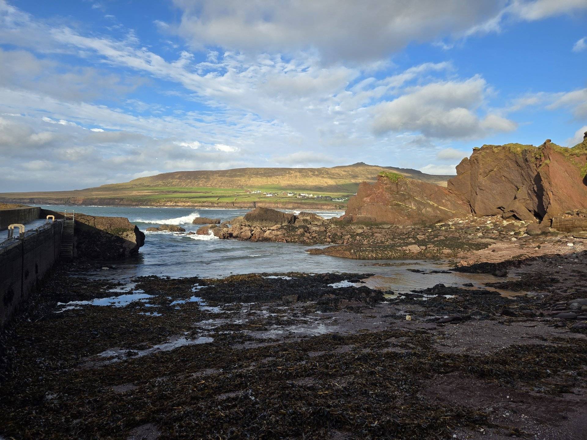
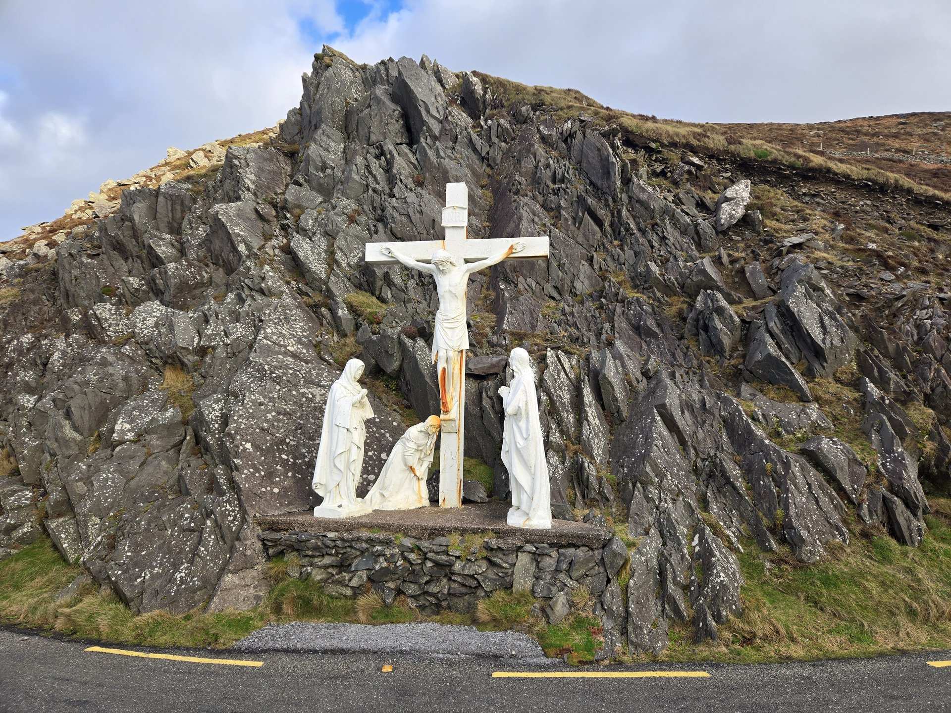
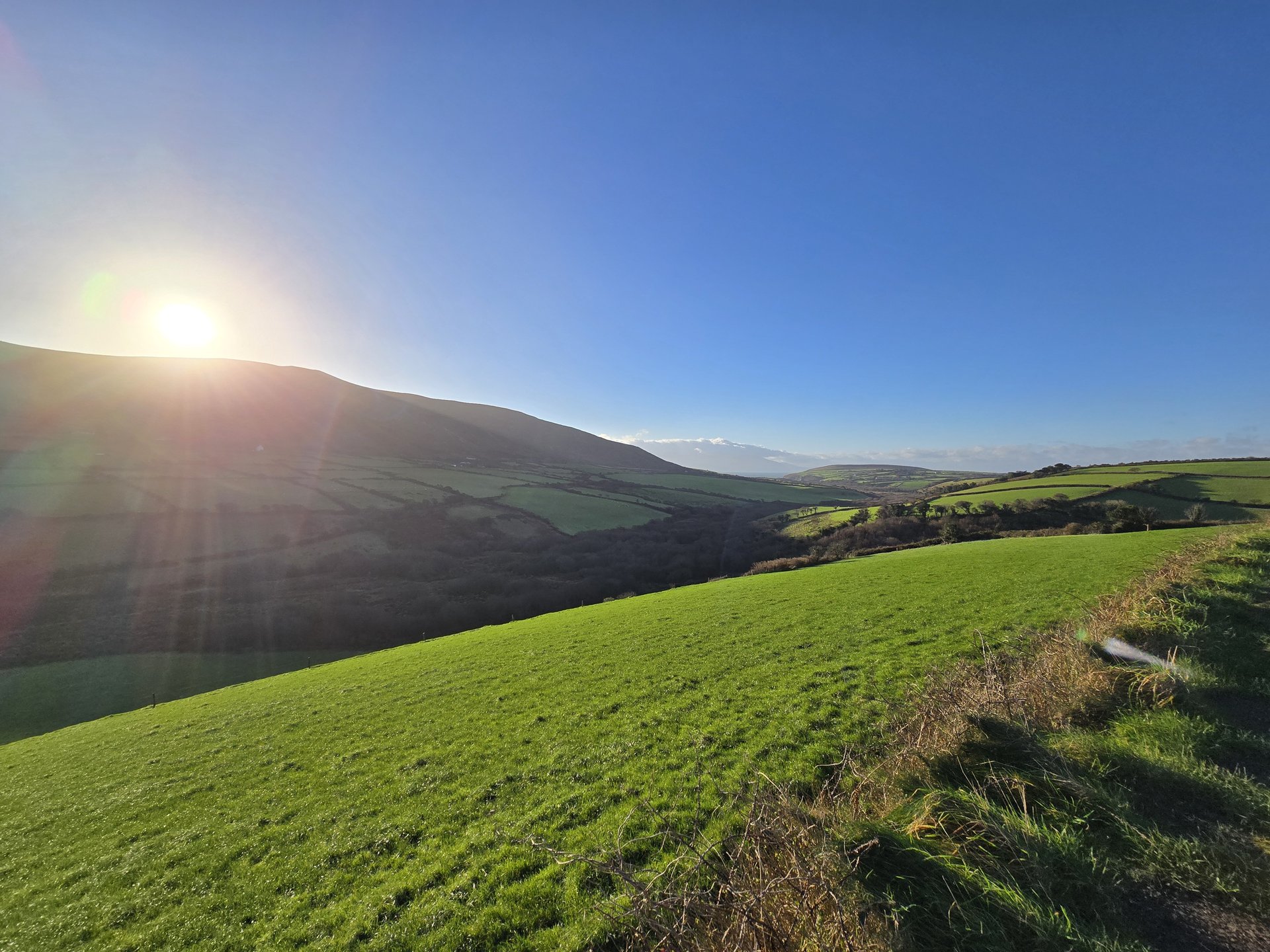
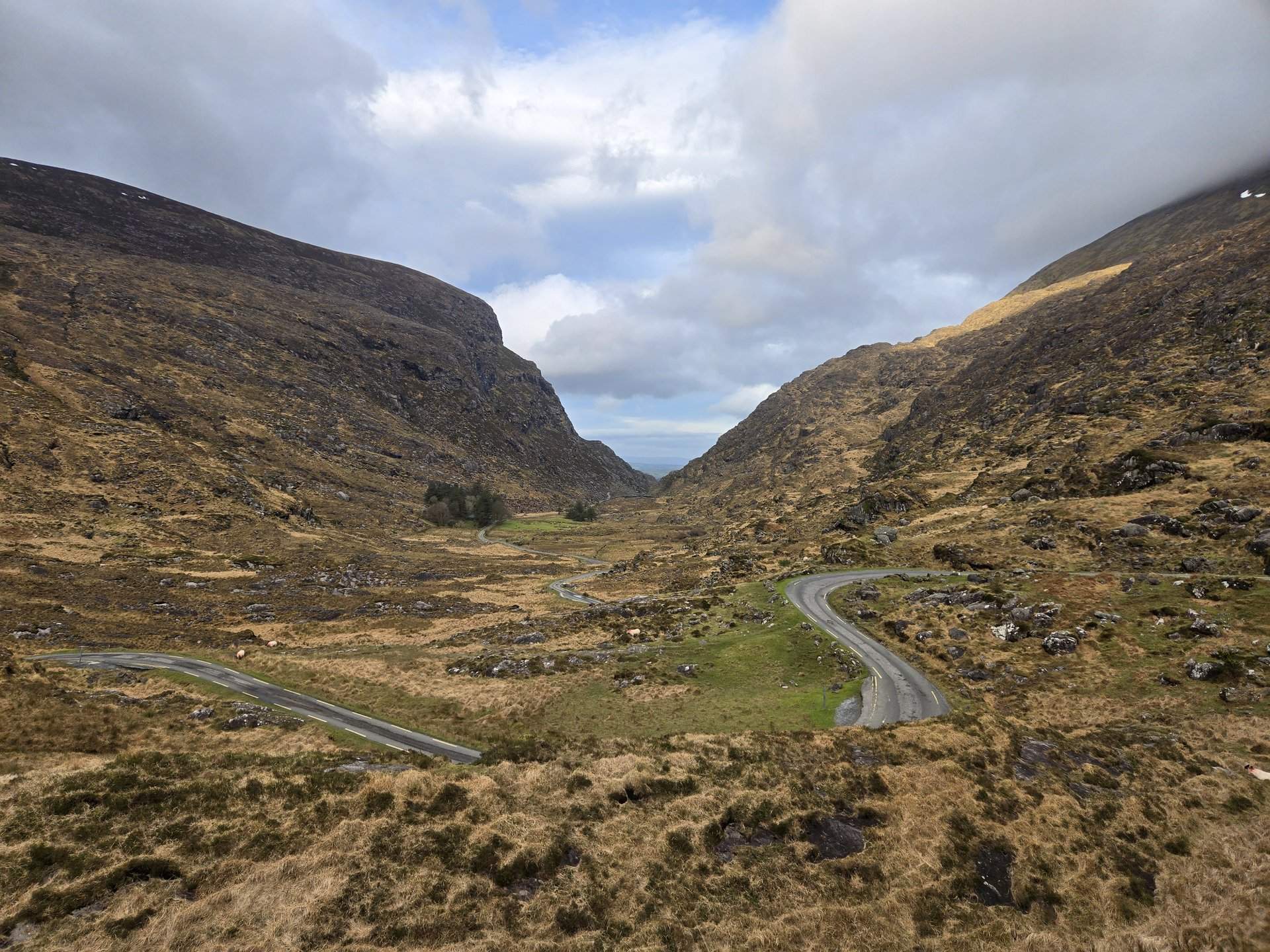
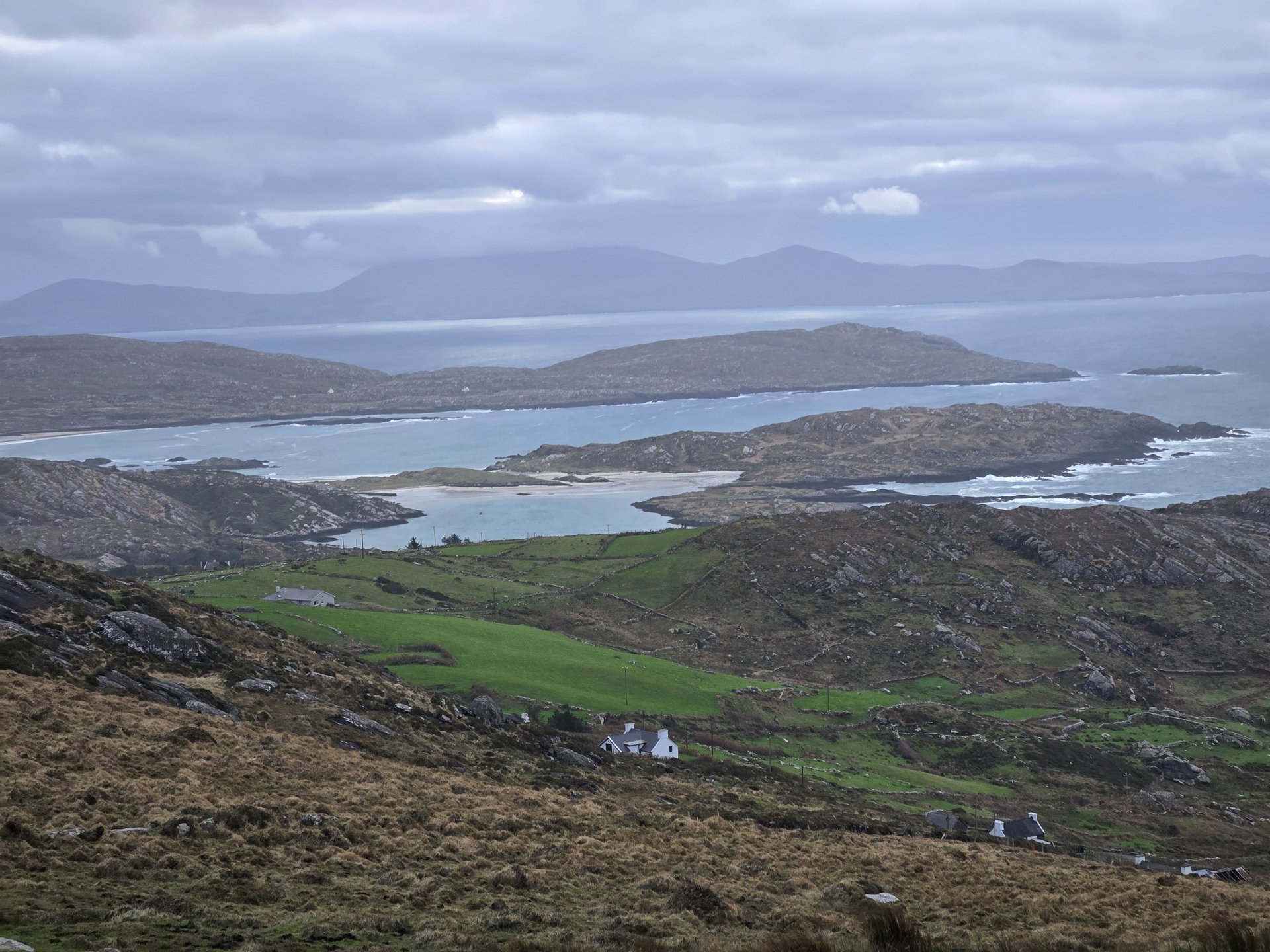
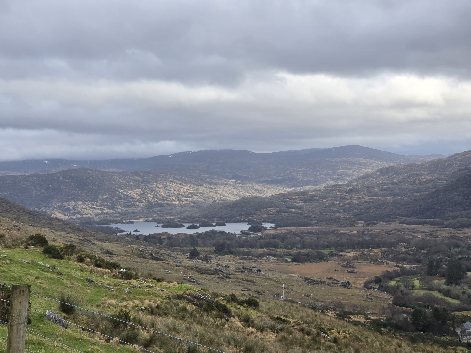
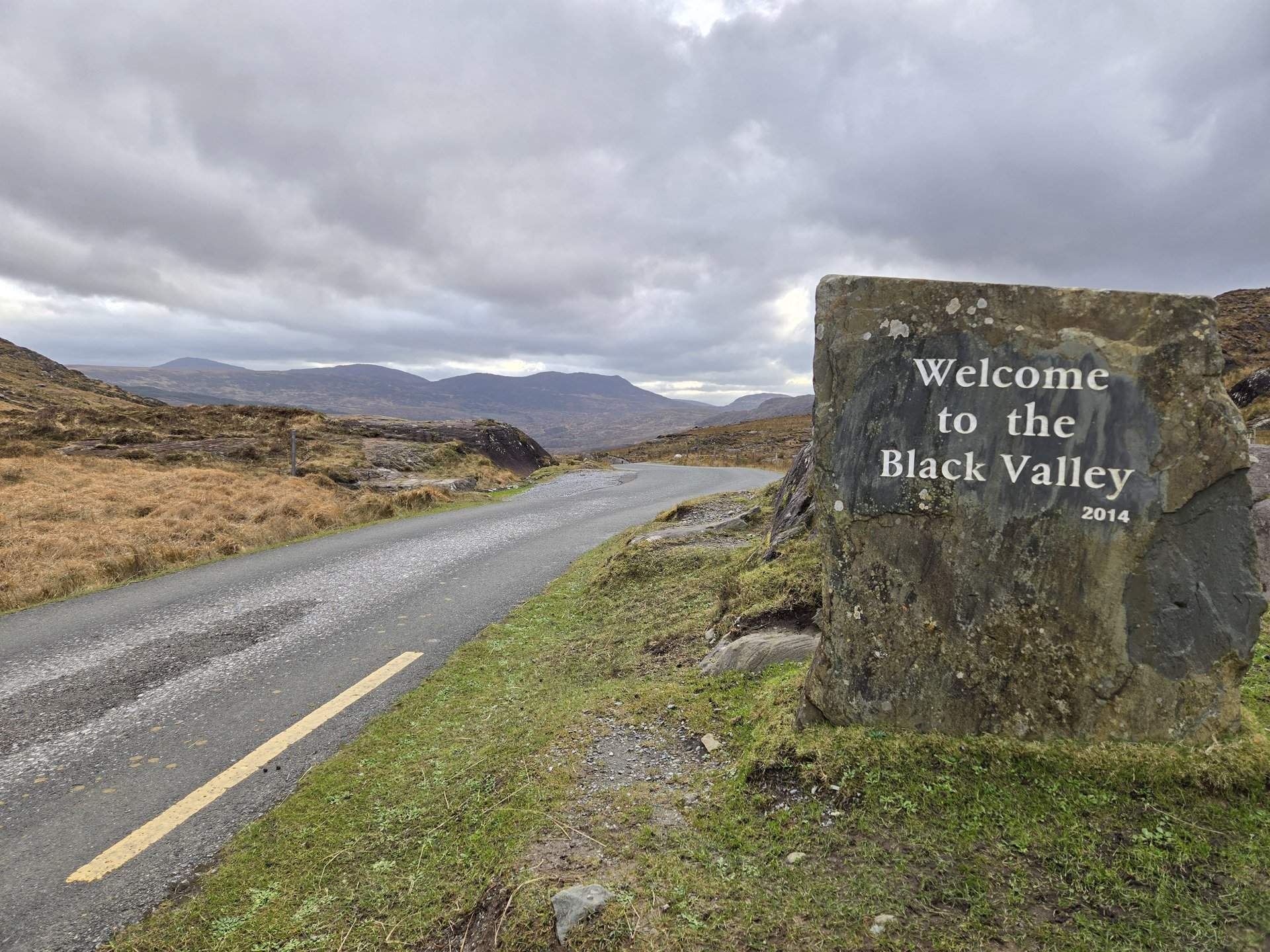
Iveragh & Beara: Derrynane to Muckross (132 km)
Thursday, January 16, 2025
The final driving day followed the south coast of the Iveragh Peninsula from Derrynane through Caherdaniel, crossed into the Beara Peninsula via Kenmare, and returned through the Gap of Dunloe to Muckross near Killarney. A 132 km loop through some of Kerry's most mountainous terrain.
Show full route (14 stops)
Day Statistics 132km • 290 photos
🗺️ Route Map
📸 Photos (16 of 32)
Refresh page to see different photos